Everyone in Utah has looked at Long Ridge while driving south on I-15 from Santaquin to Nephi. It is the long ridge to the west of the freeway extending for several miles. At just over 900 feet of prominence, Long Ridge is missing from most peakbagging lists.
Long Ridge
Distance: 1 mile
Elevation Gain: 640 feet (add 240' from 2WD start)
Summit Elevation: 7,042 feet
Kid difficulty rating: Moderate
WillhiteWeb.com
Access:
Route:
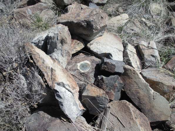
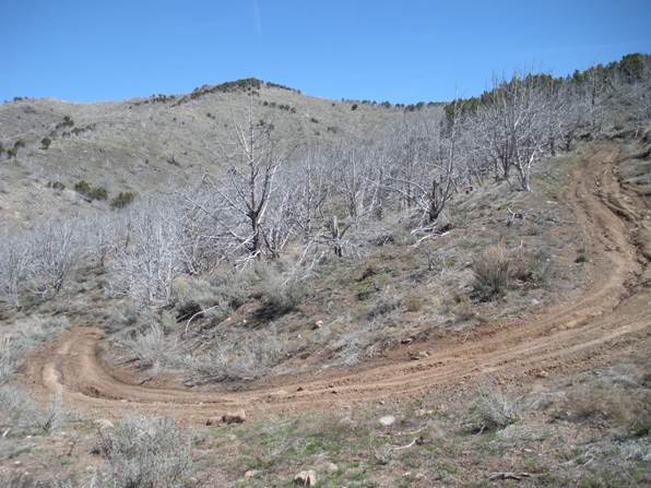
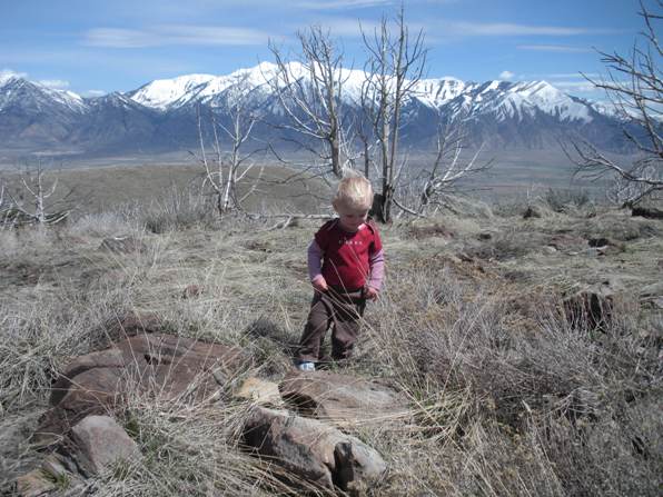
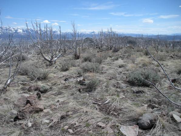
If you parked at the bottom of the 4WD road, walk up the road to the end at the old home site. From there, an ATV trail continues up the ridge (to the right of the basketball hoop). Follow the ATV trail climbing up grassy slopes between burned trees to the main ridgeline. Now the trail goes NE toward the summit. On the ridge, you will pass a cow watering station. Just before the false summit the ATV trail fades out. Traverse just below the east side of the false summit and climb the obvious highest knob. On top is a USGS benchmark called Starr. Views are pretty good but the dead pinyon trees everywhere are a bit ugly, at least to me.
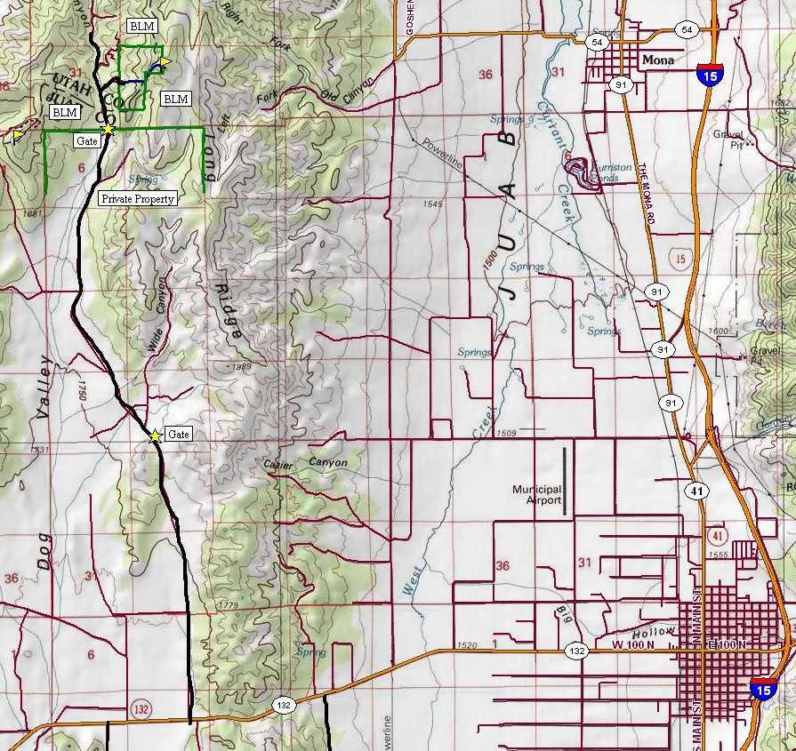
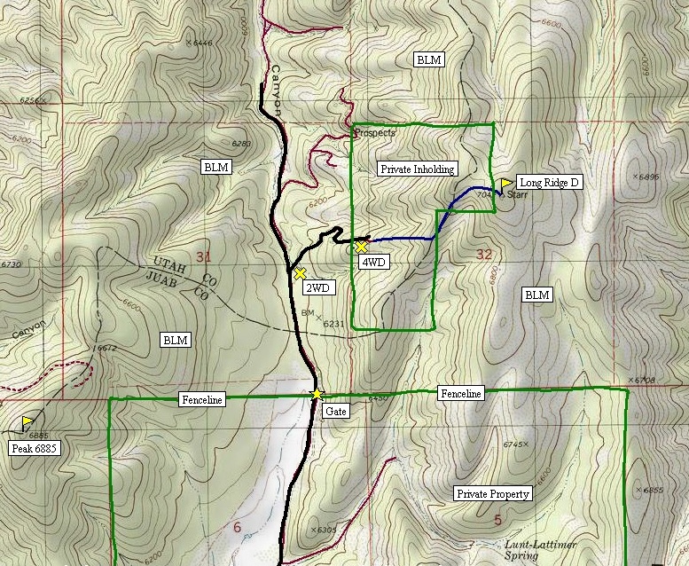
From I-15 and Nephi, take Highway 132 West. After the first pass over the West Hills, the road continues westward across Dog Valley. Just as you hit the valley bottom from crossing the West Hills, a good gravel road will go to the right (across from some gun club signs). Follow this gravel road 8 miles north along the west side of Long Ridge. At some point, you will cross onto private land at a gate. I believe the BLM has an easement for the public as there are no signs indicating you canít continue. There are a few faded beyond readable signs saying hunting and camping by permit only $45. Continue though the private land (cow country) to another gate back onto BLM land. Less than a mile beyond, just over the pass that separates Dog Valley from Goshen Valley is a spur road to the right. Park here if you have 2WD. With 4WD and maybe high clearance, you could make it to the old homesite at the end of the road. I did this during snowmelt on the road so I was only able to drive halfway. Even the main 8 mile section of road will have a few muddy spots in the spring preventing regular cars from access. By early summer, it should be hardened for all vehicles. Shortly up the 4WD road are the remnants of an old gate where you are now back on a small private parcel of land. See Map. The majority of the former home (a guess) is gone but all the garbage up there plus the USGS map structure label hints to someone once living there.
False west summit from last switchback on 4WD road
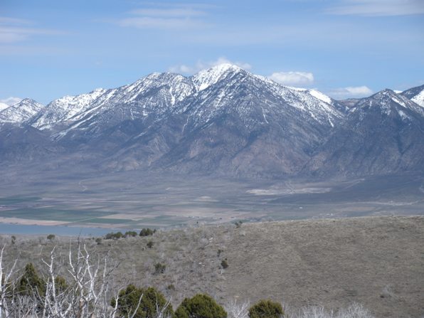
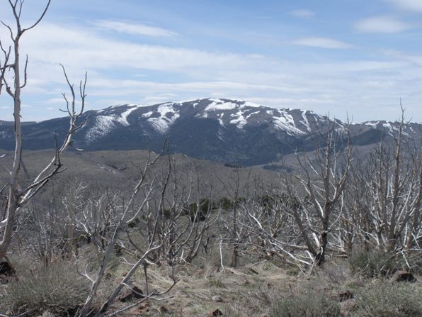
Bald Mountain north of Mt. Nebo
Starr Benchmark on the summit.
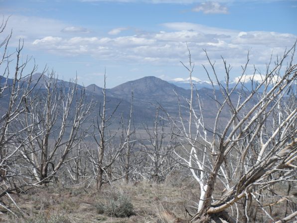
Pinyon Peak from Long Ridge.
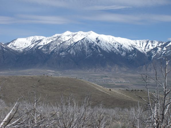
On the summit with Nebo in distance.
Mount Nebo
Tintic Mountain
