
Round Top Elevation: 6,434 feet
Davis Mountain Elevation: 6,252 feet
Distance: 2 mile loop for Round Top and Davis Mountain
Elevation Gain: 1,054 for Round Top + 332 for Davis Mountain
Access:
The Route:
Round Top and Davis Mountain
WillhiteWeb.com
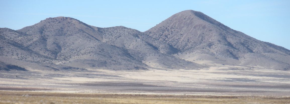
View of Davis and Round Top on the way in.
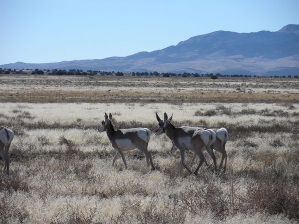
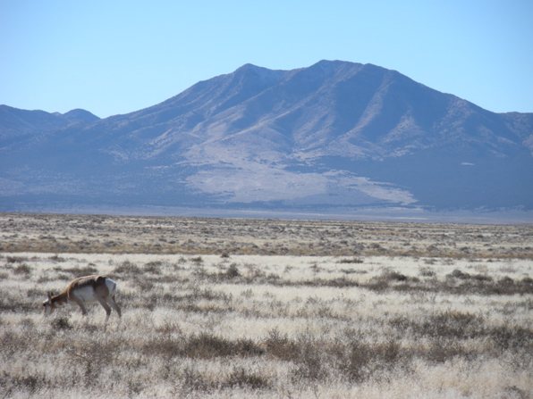
Wildlife in the area.
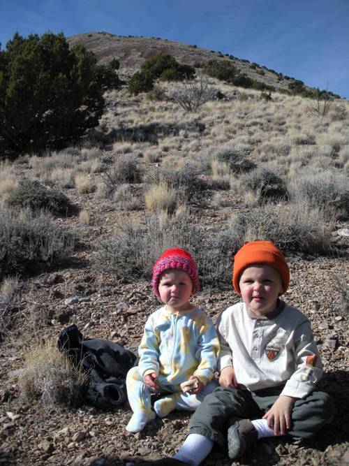
The route goes up the ridge behind the kids.
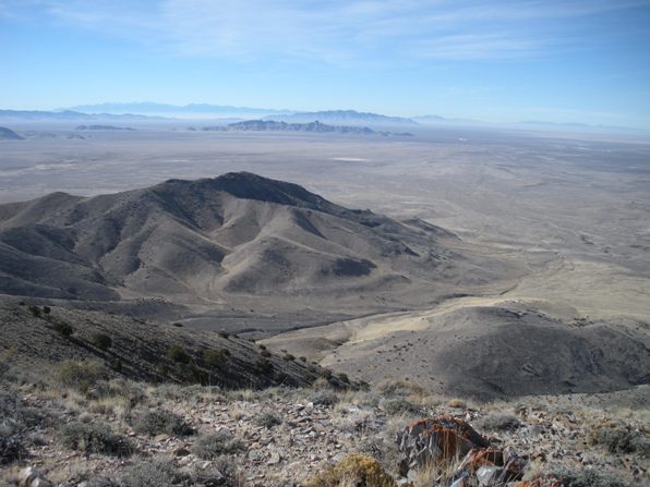
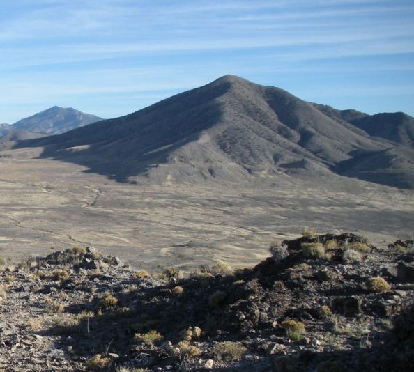
Looking down on Davis Mountain with Indian Peaks in the distance.
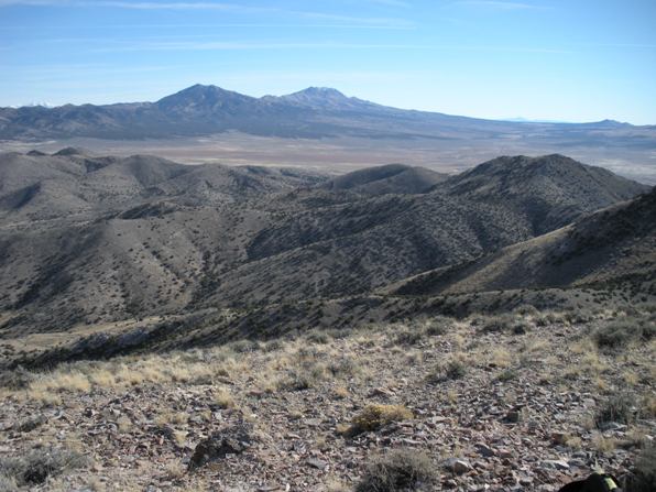
Red Pine Mountain and Black Crook Peak in distance.
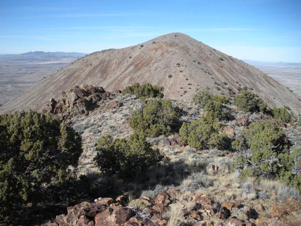
Round Top from Davis Mountain.
Looking over the south end of the Dugway Proving Grounds toward Granite Peak.
Dozer on the top of Davis Mountain.
Round Top from the northeast on Flat Hills Highpoint.
I climbed a lot of peaks looking at Round Top in the far distance. It has good prominence although the elevation of Round Top is quite low. It sits on the edge of the Dugway Proving Grounds, a possible interesting vantage since it is reported that is where they stashed the UFOs from Area 51. But since I do not believe in aliens, I kept my focus on the mountain. Davis Mountain is the other peak in the range with enough prominence to be considered a summit. Both can be easily combined to make a loop trip.
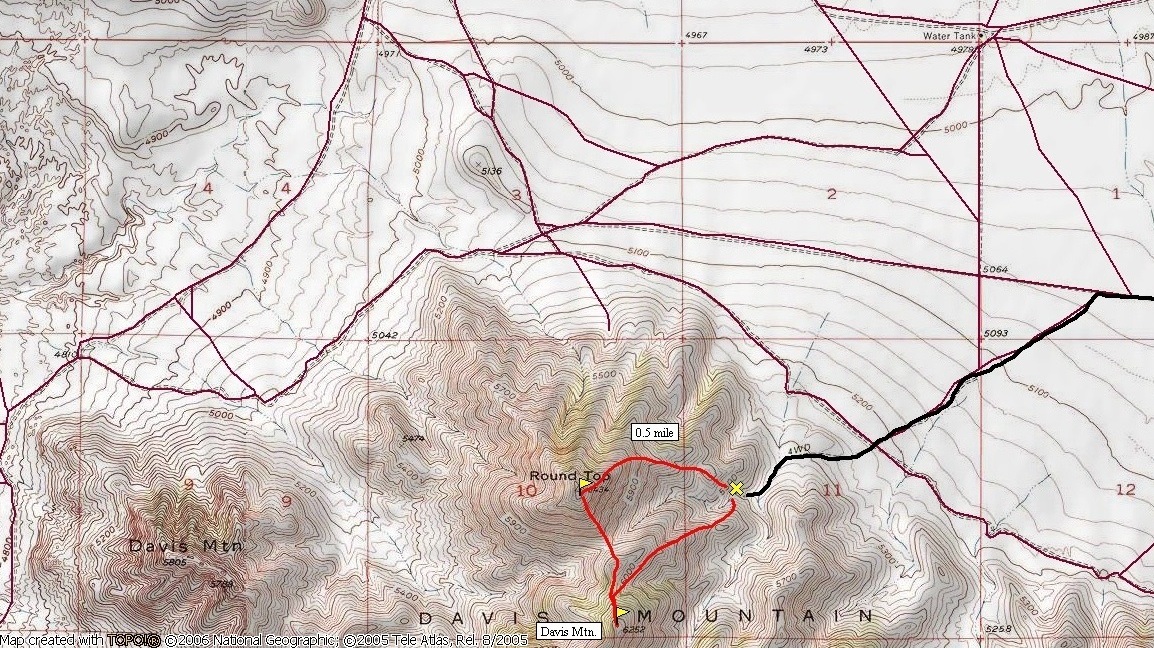
From the end of the road, hike up the East Ridge on open slopes until it turns into the north ridge. The slopes stay open but a bit steeper until you are on top of Round Top. To reach Davis, drop down the southeast ridge (which was a bit steep on the ankles carrying two kids but I placed each step carefully). Reach the saddle and climb easily up to the rocky top of Davis. On the return, drop back toward the saddle but traverse the minor bump on the southeast side. Take the northeast ridge of Davis back to the car (see map).
Take the Pony Express Road west from Highway 36, over Lookout Pass until it starts its southwest voyage. Look for a dirt road to the right going straight toward Round Top. Follow this road (through a 4 way with a north-south road) until you reach the north side of Round Top/Davis Mountain. Look for a spur road heading southwest to the mountain. The first spur road on the map I did not see. I do not have mileages at this time but it is fairly obvious when you are there.
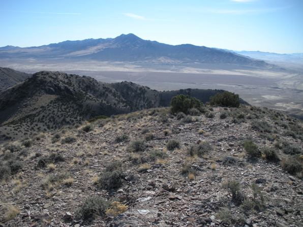
Indian Peaks as I was approaching Davis Mountain.
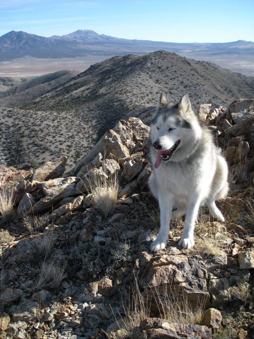
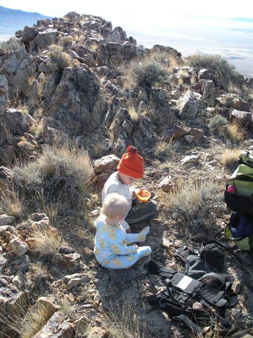
Lunch time.
Davis Mountain
Round Top
On the approach road.


