Pinyon Peak is very prominent from much of Utah County on the far western skyline. Lime Peak is Pinyons little brother and is a good bonus peak if you have time. Both have extremely good access, just north of Highway 6 near Eureka. If you climb Pinyon, you'll get a good sense of the area and acquire a desire to do others such as Bismark, Packard and Mammoth Peaks.
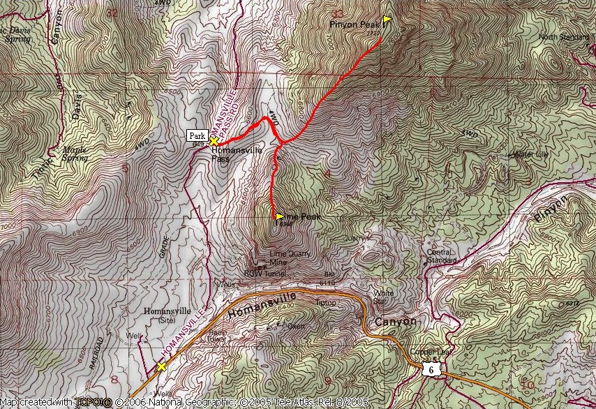
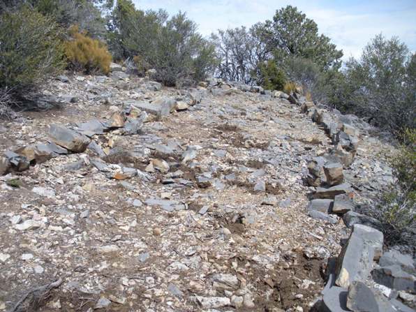
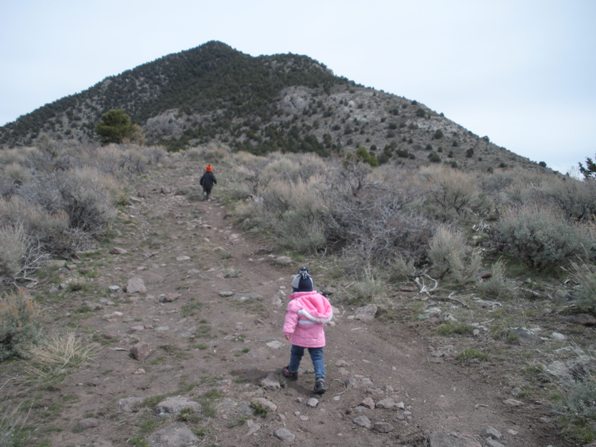
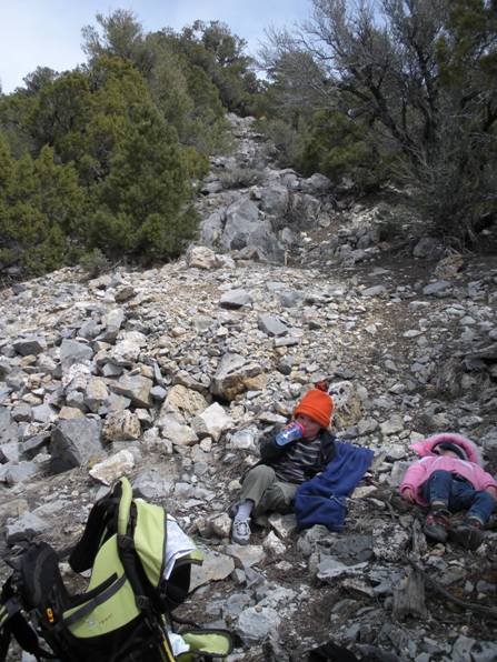
From Homansville Pass or the 4WD parking just above, walk the road as it climbs up and over a small ridge. You'll drop down the backside where a Y is encountered. Take a right toward the saddle between Pinyon Peak and Lime Peak. For Pinyon, leave the road at the saddle or before, wherever it looks good. Gain the southwest ridge on open terrain. On the ridge is a fence line. Follow either side up until the fence ends at some rocks. Now the ridge is fairly steep on the west side. I walked on the ridge top rocks up but came down below on the east side of the rocks. After a final false summit, the top is reached. Look for a rock lined trail bringing you to the highest point in the trees. Views are available just a few feet from the top. Although I took my kids up this peak as you see in the pictures, I would not recommend it as a kids hike. In several places, the footwork is tricky and carrying a heavy load is not fun. Near the summit was not pleasant as well as a small amount of brush must be ducked and moved around to pass.
Distance: 1 mile (+1 for Lime Peak)
Elevation Gain: 1,300 feet (+500 for Lime Peak)
Summit Elevation: 7,720 feet for Pinyon, 6,986 for Lime
Access rating: Good Gravel
Pinyon Peak and Lime Peak
WillhiteWeb.com
Access:
Route:
From the I-15 Santaquin exit 244, go east on Highway 6 toward Eureka. The turnoff is just after Homansville Canyon (where there are twisty curves and massive road cuts through the hillside). The turnoff is unmarked but you should see the road as you drive parallel to it for a half mile before the turn. Once you turn right, take another right going the direction you just came from. This road is well graded and takes you to Homansville Pass in a couple of miles. There will be some gated quarry roads to the right along the way. At the pass, park if you have a regular car. If you have high clearance, you can get maybe 0.2 miles further to a small area to park on the right, just below a very steep section of the jeep road.
For Lime Peak, hike up from the saddle over a false summit, continuing to the top. It is much easier than Pinyon Peak and makes a fine kids hike.
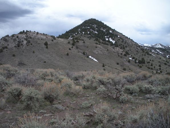
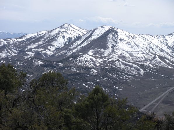
Pinyon from just above the starting point
Lime Peak from just above the starting point
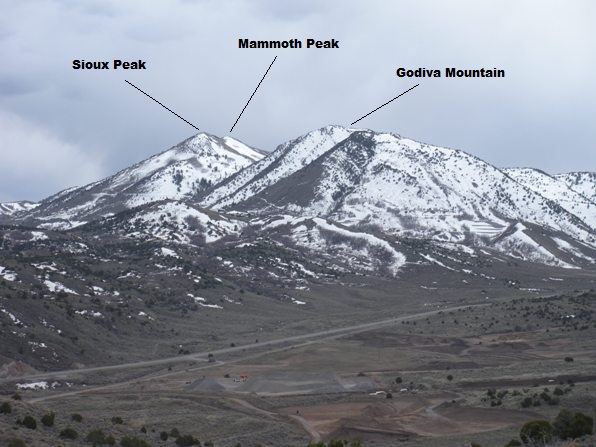
Godiva and Mammoth Peak from just above the starting point
Hiking up the jeep road to the saddle between the two
Much of the route looks like this, so my daughter is sleeping.
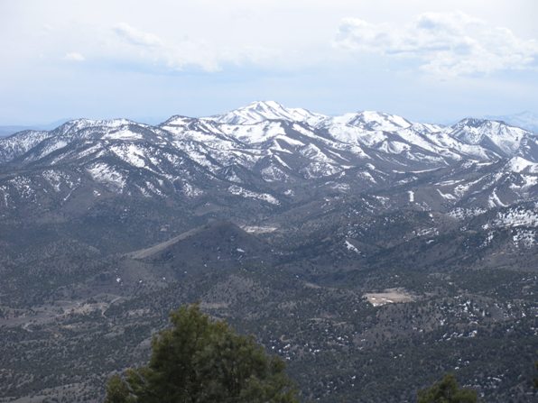
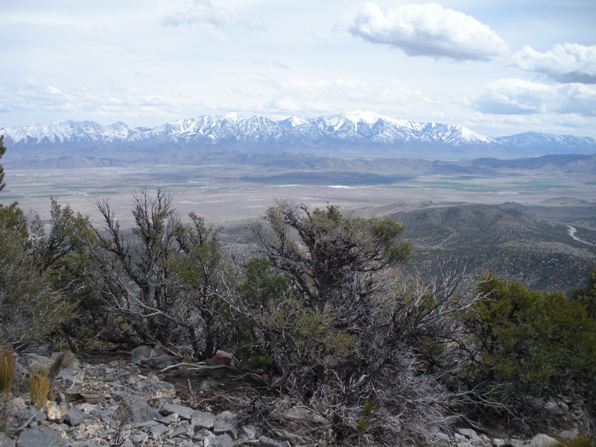
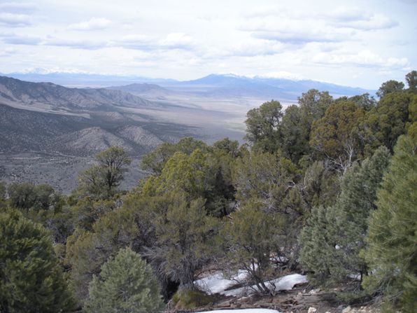
Wasatch Peaks from Pinyon Peak
Bismark Peak
Looking south to Buckhorn and Tintic Mountains
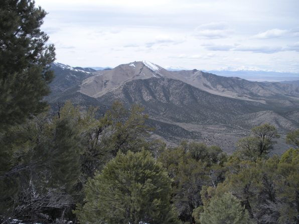
Looking southwest from Pinyon Peak to the East Tintic Mountains south of Highway 6
This rock lined trail will guide you near the summit
Looking west to the city of Eureka and the Mammoth Peak area when I climbed Lime Peak 1 year before
Lime
Pinyon
From Long Ridge
Lime Peak:
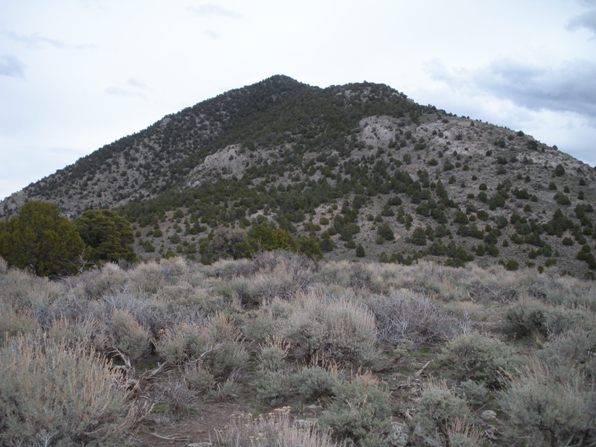
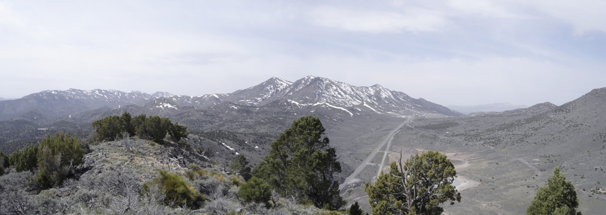
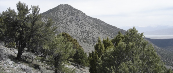
Pinyon from Lime
WillhiteWeb.com
For Lime Peak, hike up from the saddle over a false summit, continuing to the top. It is much easier than Pinyon Peak and makes a fine kids hike.
