Distance: 2.5 miles one-way
Summit Elevation: 3,760+ feet
Elevation Gain: 1,200 feet
Access: Paved
Cle Elum Ridge
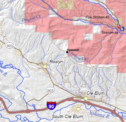
Cle Elum Ridge is a long and wide landform on the north side of I-90 at Cle Elum, with a highest point of only 3,780 feet. It's prominence is only 500 feet as the ridge continues north connecting to Hex Mountain, the next highest prominent peak. But all other directions, the ridge drops to the valley floor. Views are hard to find, only a few along the way. Cle Elum Ridge is bound to be constantly changing. On the south side, there are new communities being built out of Roslyn and Cle Elum. Most of the north side recently became part of the Teanaway Community Forest. Many access points exist, with the one described below probably changing the most. With state ownership of the north side, the likely most popular access will be from the north, on the public Teanaway side.
Washington Hiking & Climbing
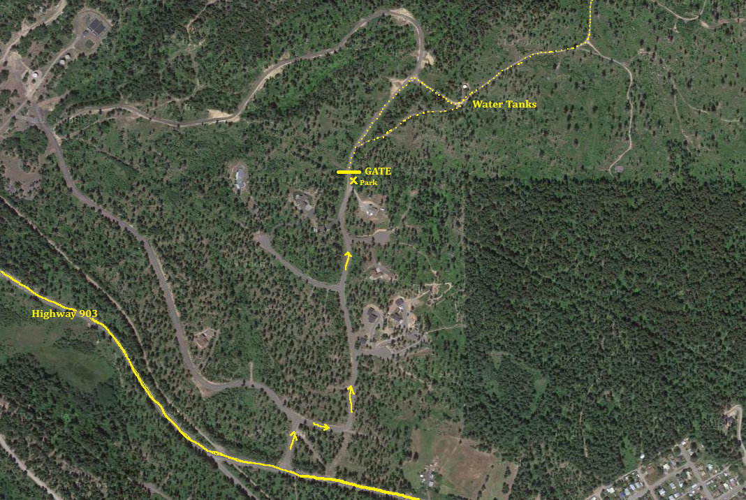
For this south side route that likely melts out weeks before the north side, drive Hwy 903 through Roslyn. Just past town, a new development is located on the right side. Turn right and quickly find a T intersection. Go right, which quickly turns you left. Follow this road up until you reach a gate (gate will move in future). Park near gate.
Access:
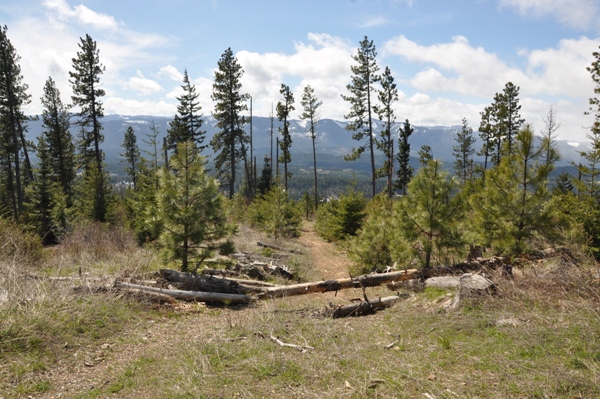
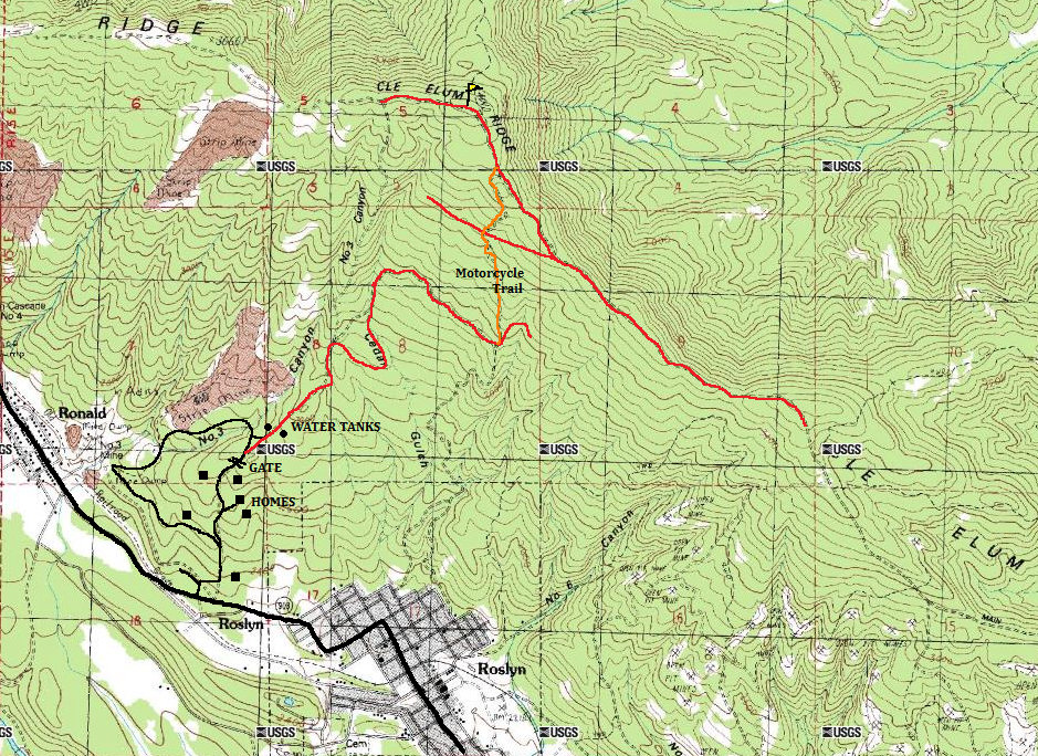
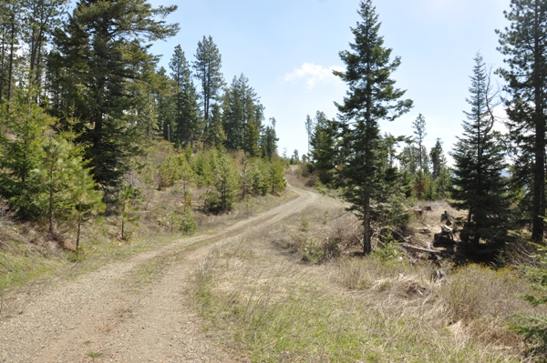
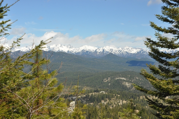
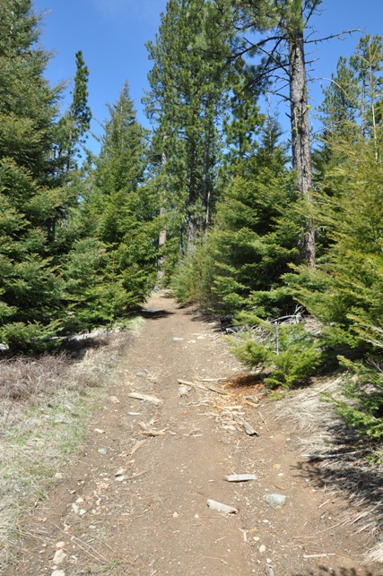
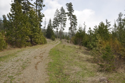
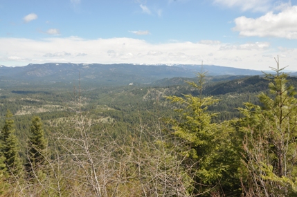
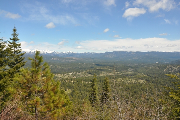
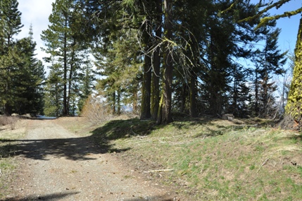
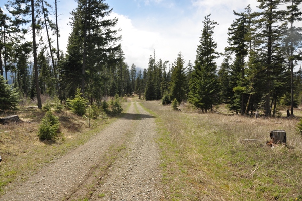
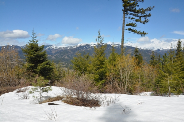
Just past the gate, you'll see an old road following the top of the ridge. Take it or continue on pavement to a right turn which takes you to the old road on the ridge. Both merge at the water tanks (see map below). Now just follow the road gradually up and along the mountain. There are a number of side roads as this will all one day be developed into homesites. Just follow your gut. There is a key turn at about 3,200 feet where you leave the road and follow an old jeep trail/now motorcycle trail up the ridge. This trail will leave the established road, cross another about halfway and end on another road on the summit ridgeline. Once there, the summit is on the ridge road about 1/4 mile to the left. A short distance to the right on the summit ridge road is a good viewpoint. Over a the summit, trees block most of the view, except a bit to the north.
Route:


Start Gate
Motorcycle Trail
Miller Peak in the Teanaway
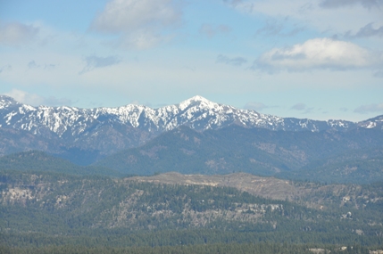
Table Mountain
At the Motorcycle Trail junction (but looking down hill)
Summit Ridge Road
The summit of Cle Elum Ridge
Map showing the Teanaway Community Forest parts of Cle Elum Ridge
Looking North
Teanaway Community Forest
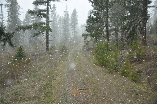
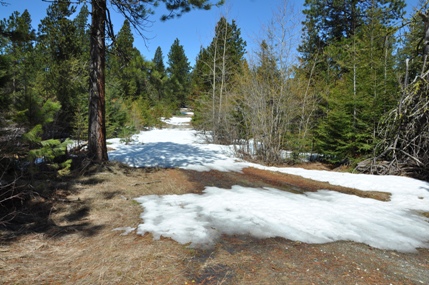
Snowing on road on the way down


