Vermont State Highpoint - Mt. Mansfield
WillhiteWeb.com
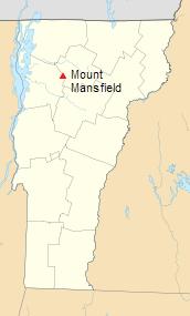
The highest point in Vermont is located in the Mount Mansfield State Forest near the Mount Mansfield Ski Area. A toll road can take you to the top of the Mt. Mansfield ridgeline, but the highest point is reached by a 1.4 mile trail along the summit ridge.
Easiest Route - Stowe Auto Toll Road
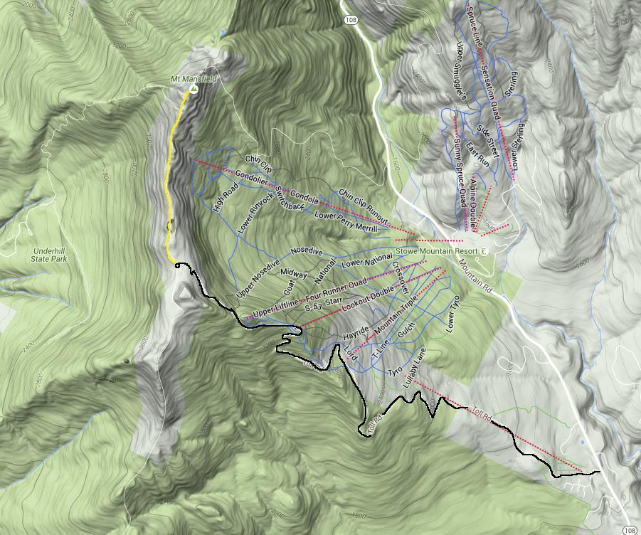
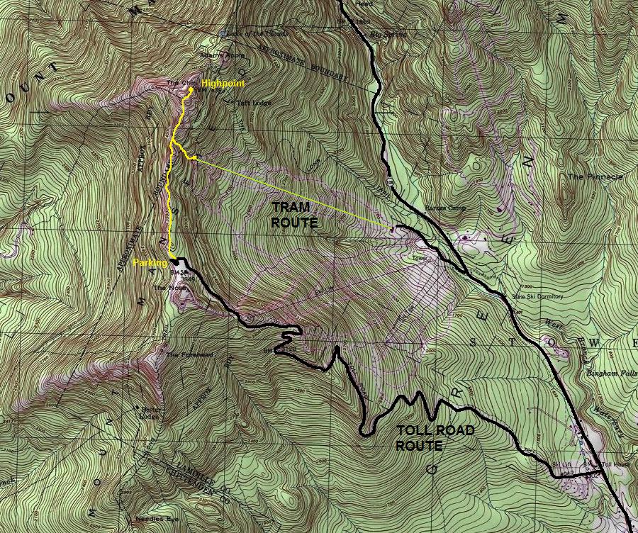
Take the Toll Road to the Nose (Summit Station), road open mid-June to mid-October during the day hours. From the parking lot, take the Long Trail hike along the ridge line 1.4 miles to the summit (the Chin).
My visit:
About halfway up the road we hit clouds never to emerge out. On top, it was cold with a wet wind blowing hard. Kathleen decided to just sleep in the car watching my son while I ran to the top. After jogging for 10 minutes on the trail, I had warmed up. Visibility was about 50 feet. My nerves were a bit rattled after yesterdays near death experience on Mt. Marcy but I continued knowing these were not thunder clouds. Just before the summit, I ran into another hiker who came up another trail. We celebrated on the summit for about 30 seconds before we both got out of there.
Elevation: 4,393 feet
Elevation Gain: 544 feet
Distance: 1.4 miles
Access:
From the north at Jeffersonville, take VT-108 south 9.5 miles to Barns Camp, then another 2 miles to the toll road. From the south, at Stowe, take VT-108 northwest 6 miles to the toll road.
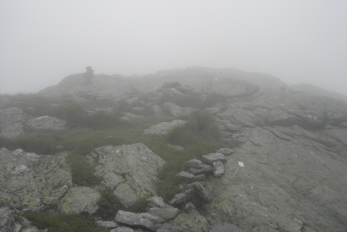
This is the only picture I took along the hike
Showing the Tram Route and the Toll Road Route
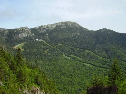
The summit while driving on the toll road
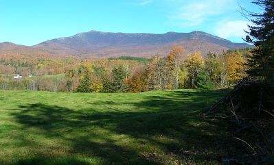
View from Stevensville Road, Underhill, VT
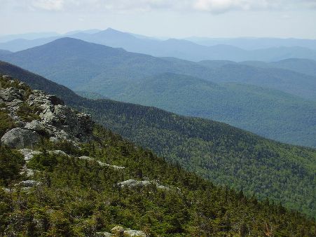
Looking south towards Camels Hump
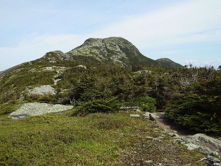
Summit of Mansfield


