
WillhiteWeb.com
The town of National is gone, the lookout is gone, and the view is gone. But, thanks to the Schwing Timber Sale, some good views to the east can be had on the way up to the top. This hike is on State Land, do not block gates, but enjoy the road walk to this seldom visited summit.
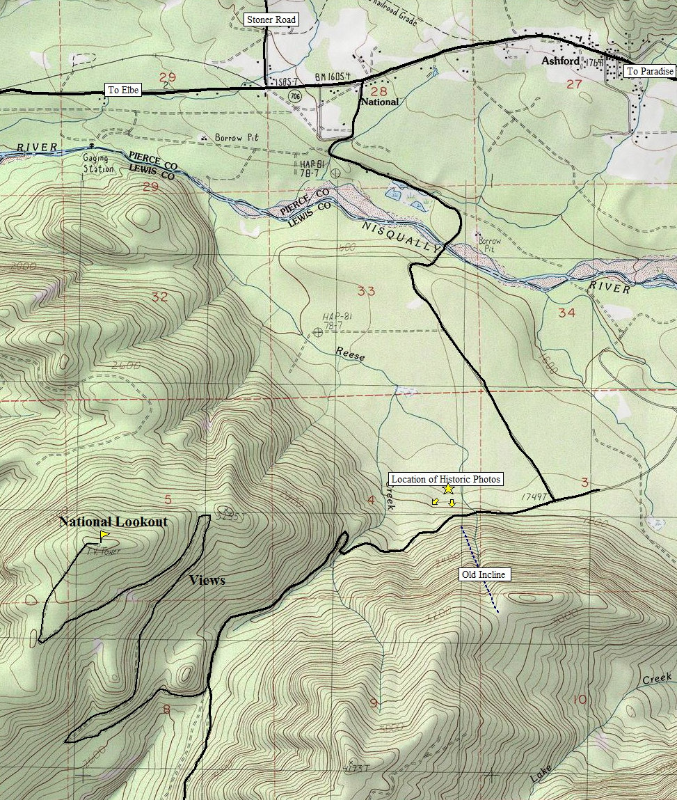
National Lookout
Distance: 4 miles if gated
Elevation Gain: 1,100 feet if gated
Summit Elevation: 3,620 feet
Access: Good gravel to gate, then gravel/dirtpack
On Hwy 706 east of Elbe, just before reaching Ashford, turn right on 282nd Ave. Within a mile, reach the Nisqually River. After crossing the Nisqually River, follow the mainline road (#1 road) 1.5 miles until it hits a T intersection at the base of a steep hillside. Turn right onto the #2 road and follow the road for 2.3 miles to a road split. Go right, and start climbing the 4 mile road to the top of the National Lookout Site. This last road is probably gated at the start of the 4 miles.
Access & Route:
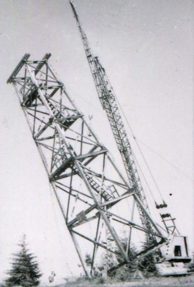
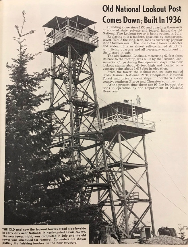
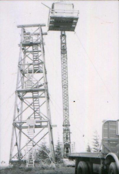
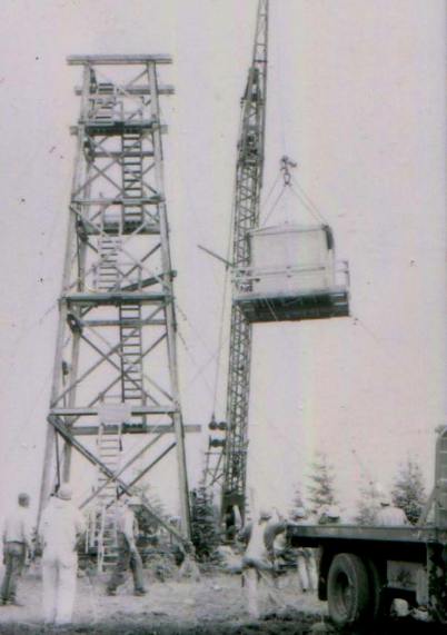
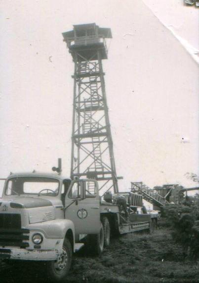
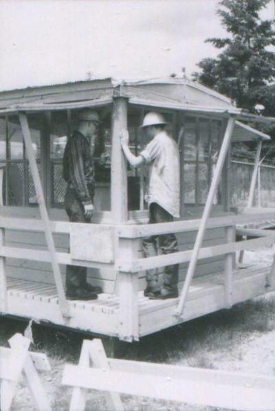
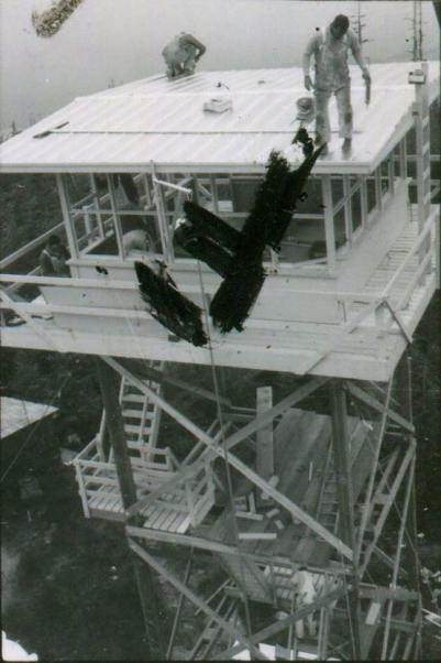
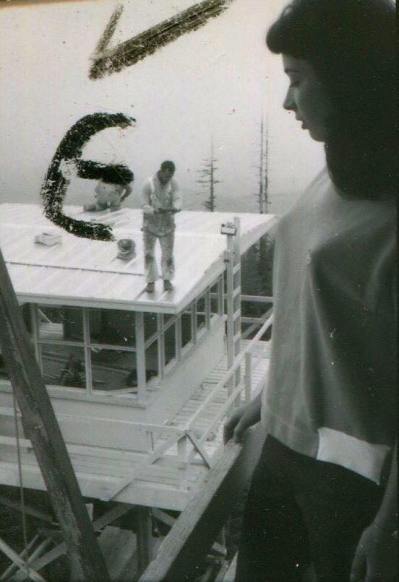
The 1936 built National Lookout tower was a 60 foot wooden tower with 8x8 foot cab built by the CCC. Living quarters were in a separate building near the base of the old tower. This lookout was replaced in 1965 with a 40 foot wooden DNR R-6 live-in tower and destroyed in 1969. The older 1936 cab was saved and exhibited at the Southwest Washington Fair in 1965. It was then placed on permanent display at Camp Six, the historical logging museum in Tacoma. As of today, we cant seem to track down where it is at.
Lookout History
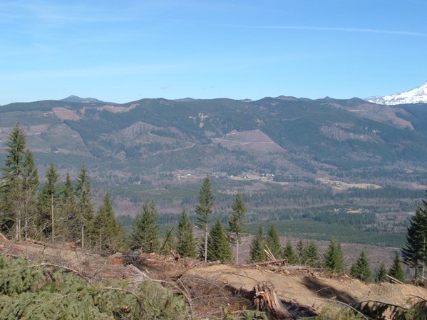
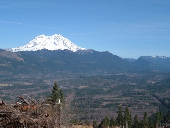
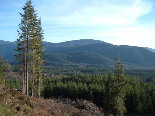
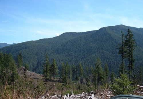
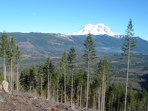
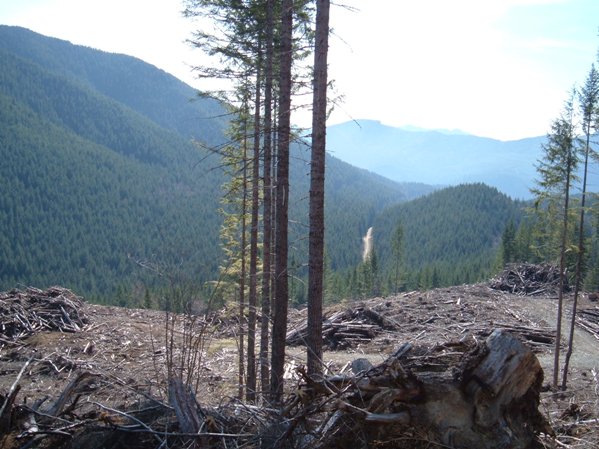
Ashford area of the Nisqually Valley
Puyallup Lookout
Nisqually Valley from the timber sale
Tahoma State Forest
See links to historic pictures for this hillside totally cut-over
Tahoma State Forest
View south into the North Fork
Schwing Timber Sale
Gap
Old Townsite
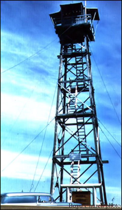
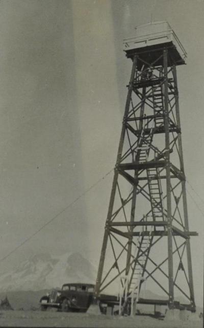
National Lookout 1957
National Lookout 1965 when new and old were standing
National Lookout 1940s
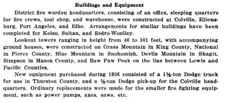
1936 Forester Report
National was manned 24 hours a day as an Aircraft Warning Station during WWII. Originally the Army was considering Roundtop as a possible A.W.S. observation post under the supervision of the Snoqualmie Forest but National was picked instead. National was supervised by the State of Washington. During the winter of 1942-1943, the material for a garage was at the site but they had not been able to construct it during the winter because of snow. A 12x20 foot garage was built using A.W.S funds and was retained for fire control purposes after the war. The lookout man in 1942 was Dave Anderson. Provisions were carried on foot, through snow, mud and rain, to the observers.
National Aircraft Warning Station
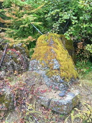
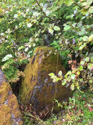
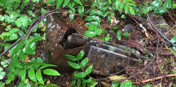
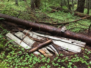
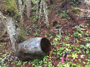
The old stove getting burried in the duff
Footings to the side of the road
The remains of the outhouse
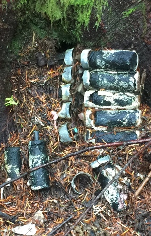
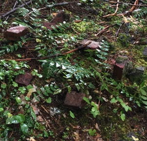

Remnent images from Alan Mainwairing in 2016
Old jar
Batteries
Bricks
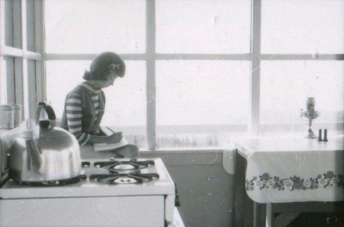
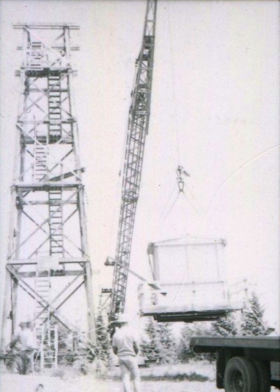
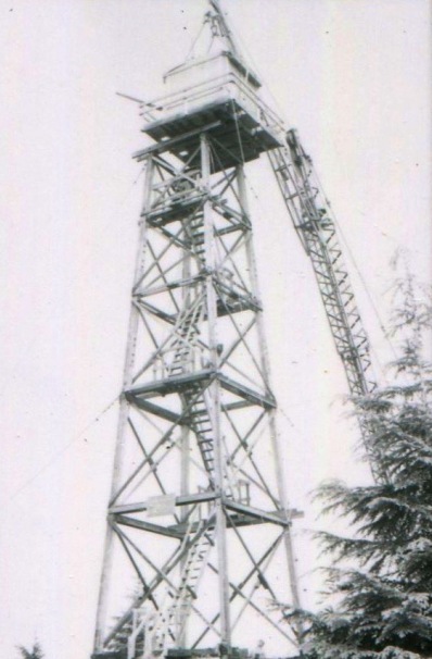
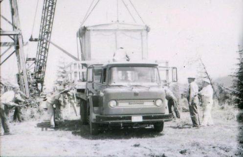
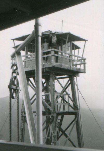
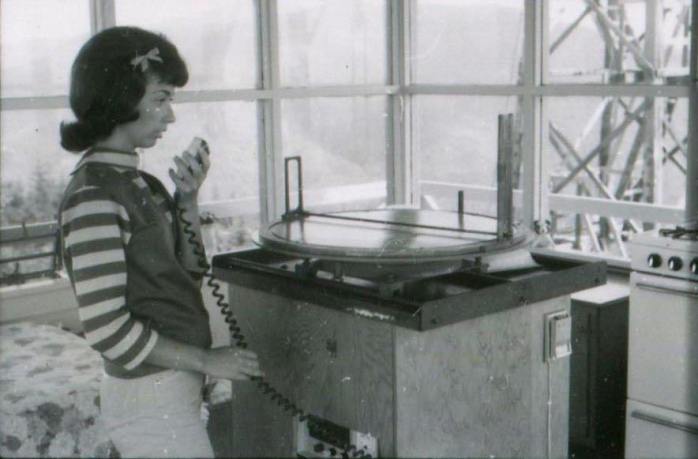
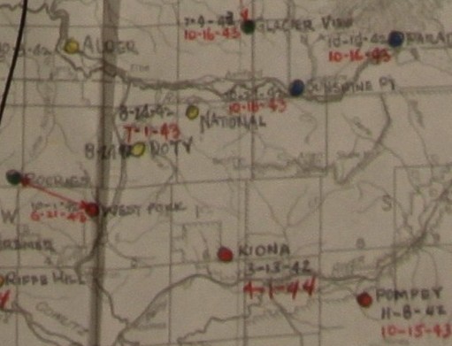
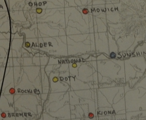
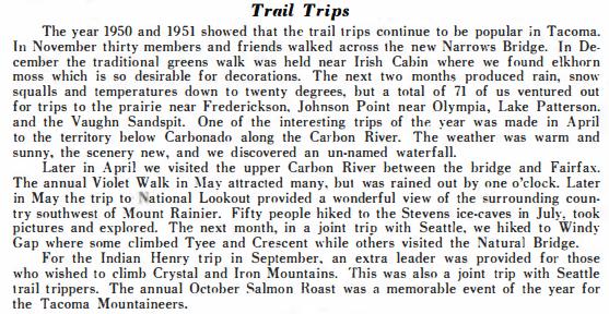
Above: 1951 Mountaineers Annual
New lookout construction 1965
New lookout construction 1965
DNR photo shoot during the construction 1965
Bringing in the crane for cab removal 1965
Taking down the 1936 tower
Cab transport
Tower to tower view
National cab on the ground in unknown location
AWS maps
1936 tower removal in 1965


