
From a distance, McDonald Mountain blends in to all the ridges that make up the first foothillls of the Cascades. But viewed from the air, McDonald Mountain is one long independent mountain that drops down to deep valley bottoms on all sides. Hikers have been going to McDonald Mountain since the road was built, especially when the destination was the McDonald Point lookout tower. The lookout tower is long gone, just communication towers remain. The old lookout site kept a huge view for decades with western views over the Puget Sound region and sunsets over the Olympics. Unfortunately, the views are almost all gone, although an upcoming timber sale might provide some big views to the NW, including to Seattle. These days, the mountain is mostly used for mountain biking. A slew of unauthorized trails have been built on the west side near the access gate. For hikers, because the mountain has over 2,000 feet of prominence, there is a good number of people who seek the true summit. Getting to the highest point is not difficult, but technically, the highpoint is within the Green River Watershed and you are subject to whatever if caught. Whatever you decide, McDonald Mountain makes for a different kind of hike, very close to town, no crowds and a nice winter trip with the low elevation and paved access.
WillhiteWeb.com
McDonald Mountain
Distance: 6 miles
Summit Elevation: 3,573 feet
Elevation Gain: 3,000 feet
Access: Paved
Access:
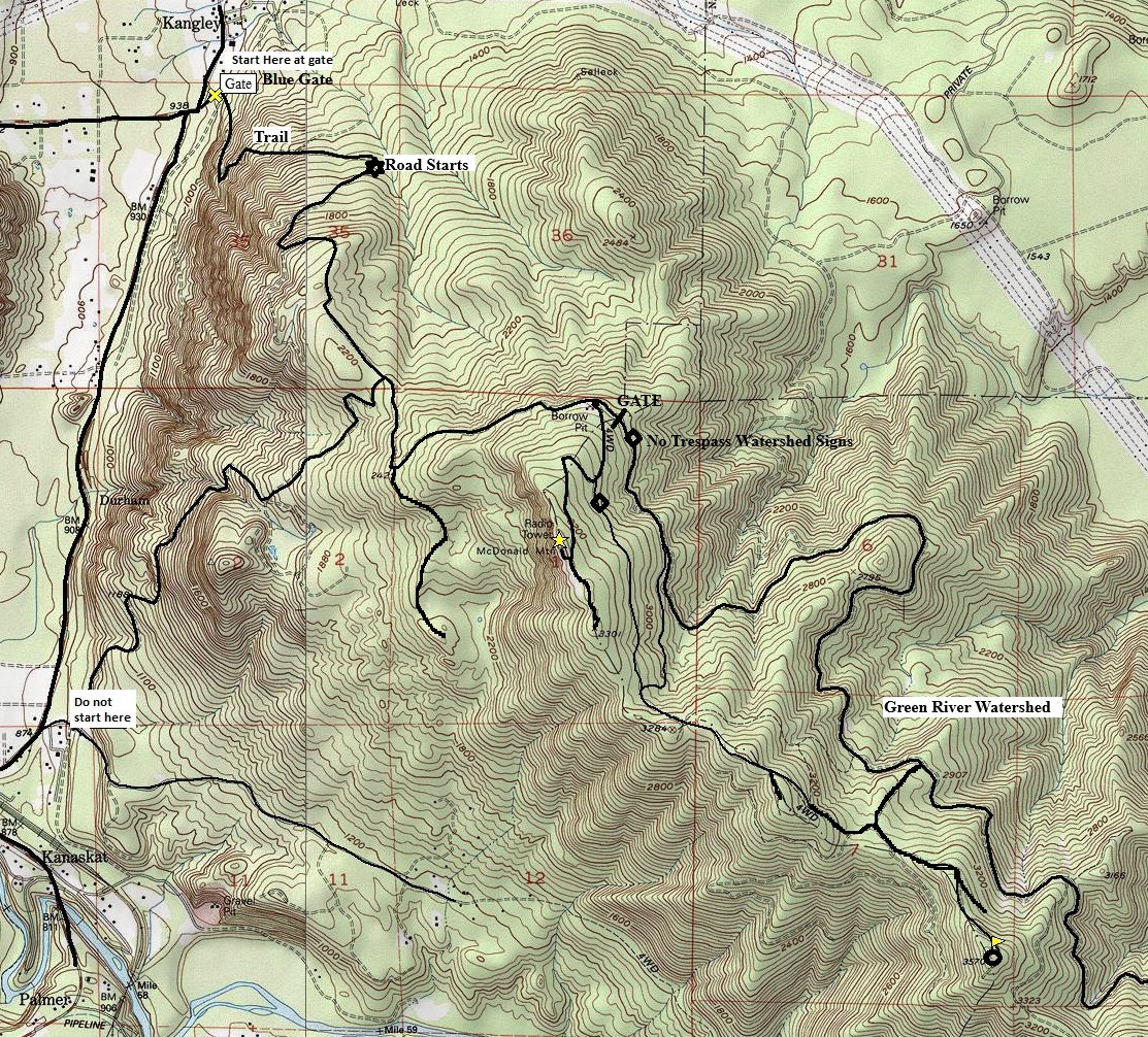
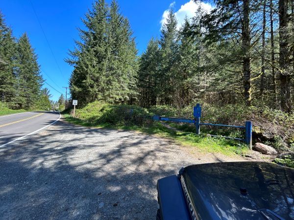
Follow SE Kent-Kangley Road east from Covington until the foothills where it junctions with Kanaskat Kangley Road. Just a bit further where the road turns north and becomes 346th Ave SE, there is a blue gate. This is where you park, known as DNR Blue Gate, an unofficial but well used trailhead.
Route:
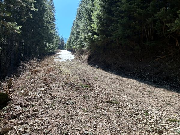
The route climbs steadily up a trail that was once a logging road. There are expert mountain bike trails everywhere but the main trail follows the old road. Use the map provided or a gpx file from peakbagger.com. The main trail eventually hits DNR roads that are maintained. The spur road up to the old lookout site is just before the watershed so there is public access to that point. Any roadway to the highest point will be signed as No Trespassing. The DNR will be doing quite a bit of timber harvesting that could effect access.
History:
The mountain and lookout was named for Robert McDonald, a timber cruiser, field inspector, and fire warden for the Washington Forest Fire Association.
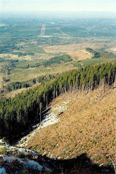
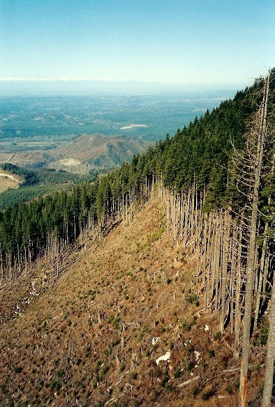
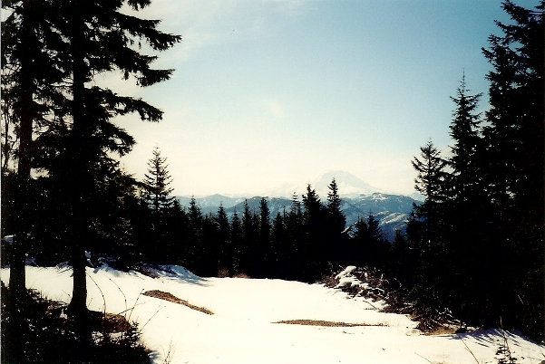
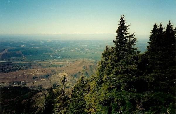
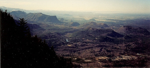
McDonald Mountain from Black Diamond Hill
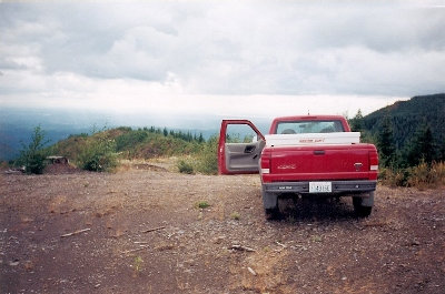
On a landing on the far east side of the mountain in the watershed. Working for the DNR, I drove the 13 mile road across the mountain a few times.
Looking south to Mt. Rainier.
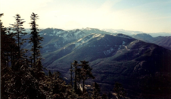
The old view of the Puget Sound Region from the Radio Facility viewpoint.
Snow capped Olympic Mountains in the distance.
Enumclaw State Forest area to the south.
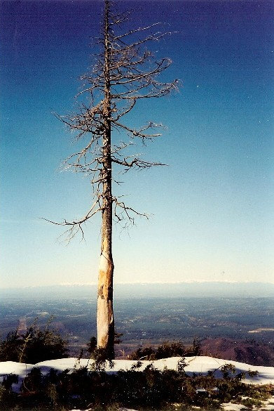
Old snag at the viewpoint.
Looking south toward Enumclaw with Sugarloaf Mountain and Boise Ridge down below.
Images from 1990s.





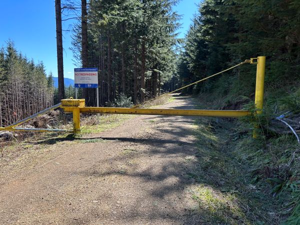
Watershed Gate
Blue Gate on 346th Ave. SE
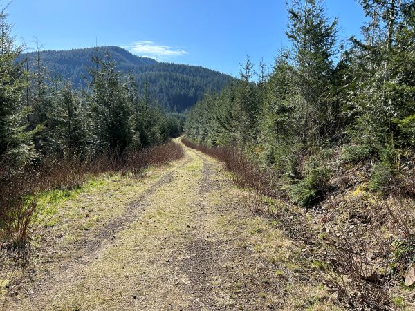
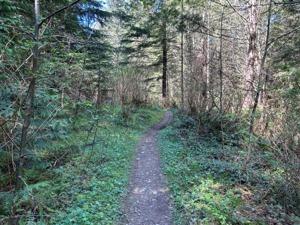
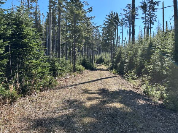
Starts as a trail on old logging road.
Small viewpoint on the ridge.
Looking up at the communication site summit.
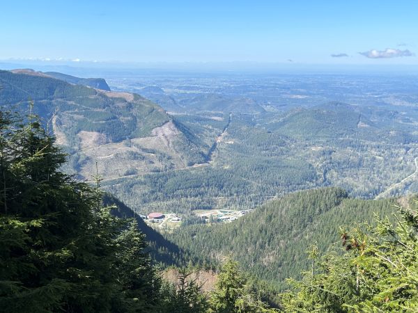
View from the road over to Rattlesnake Ledge and Mailbox Peak.
Looking SW from a small opening on the ridge.
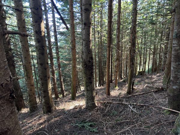
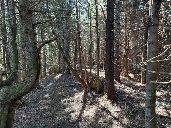
Forested summit.
Forested summit.
Final road to the summit.
Overgrowing view from the communication site.
Small peak to the south.
Images from 1990s.


