Chapin Collins Memorial Forest Trail
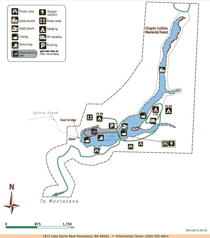
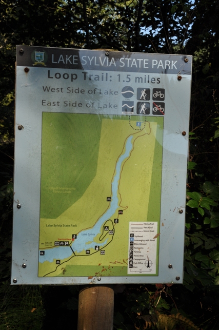
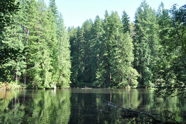
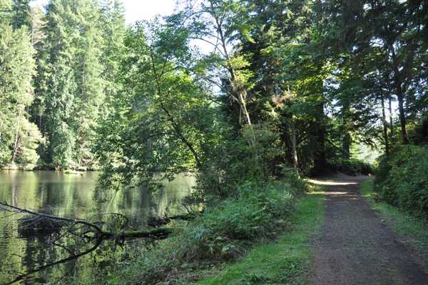
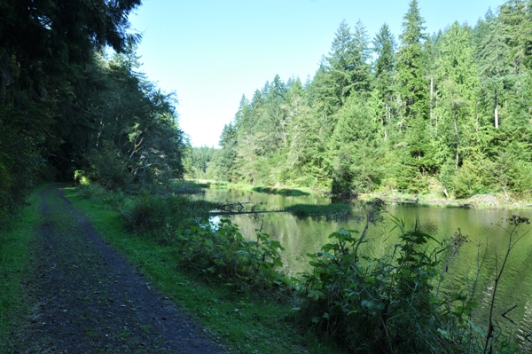
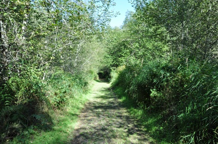
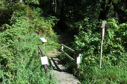
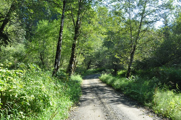
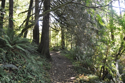
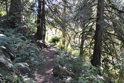
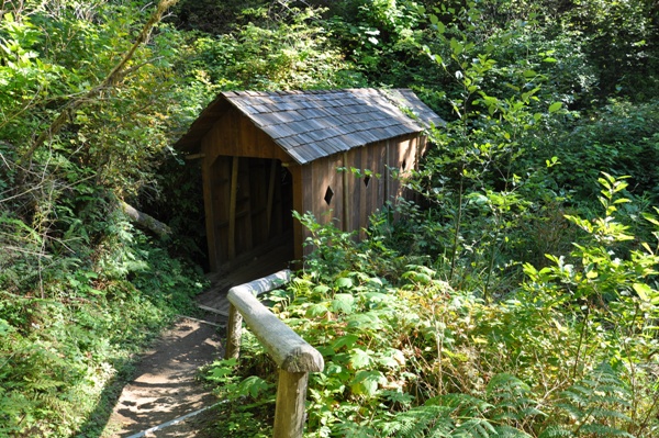
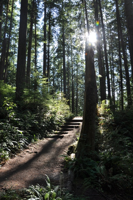
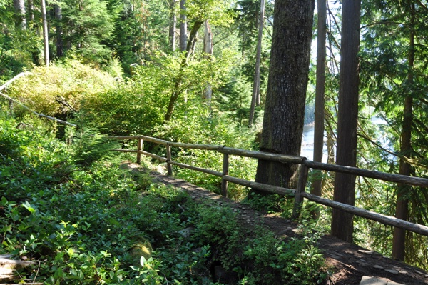
This is the most promoted trail in the park since it loops around Lake Sylvia. The trail is 1.5 miles long. The west side is an old railroad grade so it is flat, has the most views and is open to mountain biking. The east side of the lake has some ups and downs, is more trail like, and for hikers only. The east side features some nice forests in places and a unique covered bridge. To complete the loop, the trail passes through the campground and crosses over the main entrance bridge that goes to the main parking lot. The Chapin Collins trail also is the access to the Montesano City Forest Roads & Trail System located at the head of the lake. The trail for a short bit follows B-Line Road at the half-way point.
WillhiteWeb.com - Washington State Parks
Access is described on the Lake Sylvia page, see link on top left.
Access:
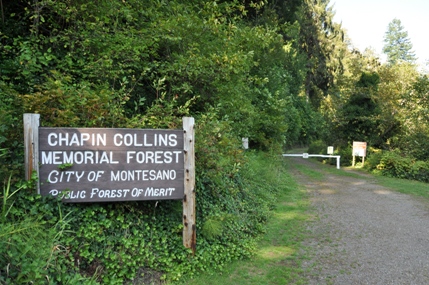
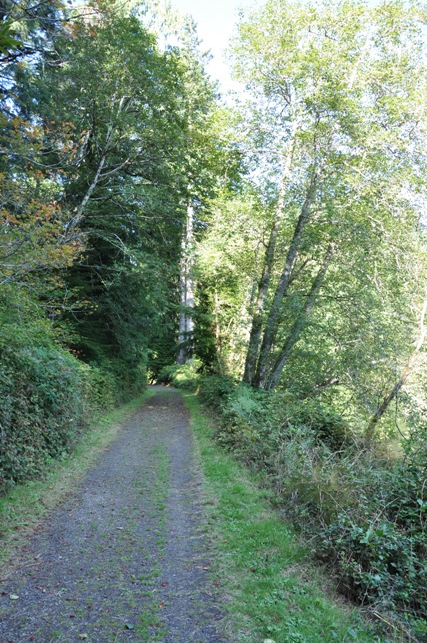
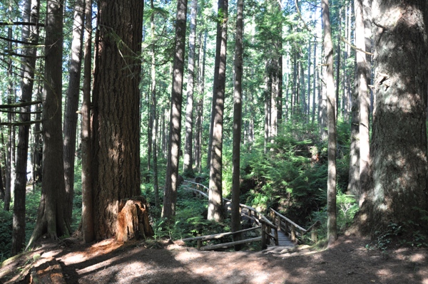
Trailhead at Lake Sylvia State Park
Lake Sylvia from the trail
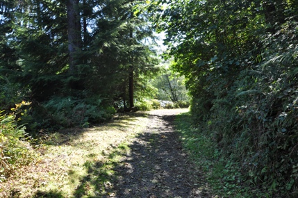
Walking the west side of Lake Sylvia
The head of Lake Sylvia
B-Line Road
A covered bridge on the east side
Trail on the east side
Trail on the east side
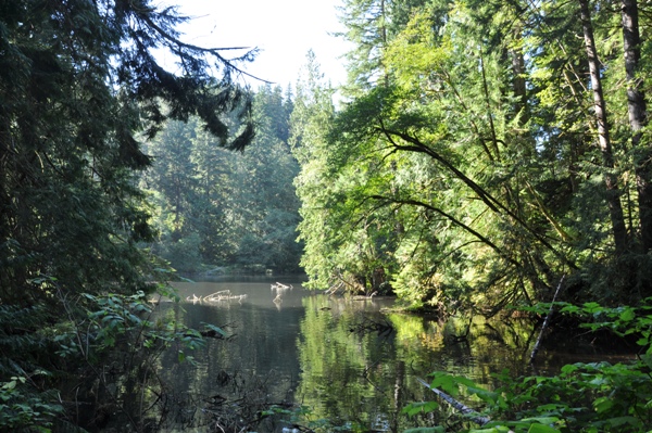
A cove of Lake Sylvia on the east side trail
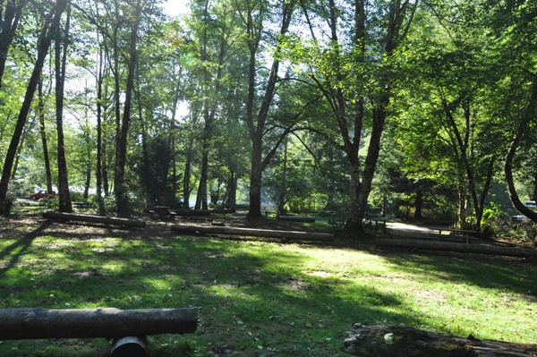
Camp and picnic areas on the east side of the lake
Nice trail map signs
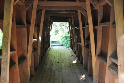
Inside the covered bridge
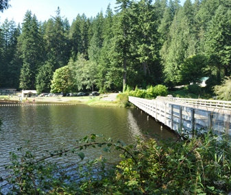
Crossing the bridge back to the trailhead


