Black Diamond Hill is a prominent highpoint in East King County, just east of the small town of Black Diamond. It is possible the summit was used as a lookout prior to 1937 (see bottom of page).
WillhiteWeb.com
Black Diamond Hill
Distance: 1.5 miles
Summit Elevation: 1,270 feet
Elevation Gain: 500 feet
Prominence: 540 feet
Access: Paved
Access:
At this time, this access is posted Private Property, No Trespassing. According to King County records, it is owned by the Weyerhaeuser Real Estate Division. In 2012, signs were up selling the property, so who knows what the future holds.
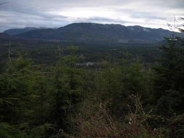
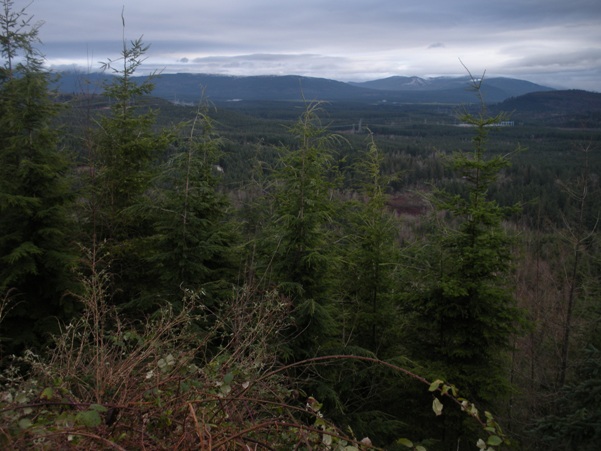
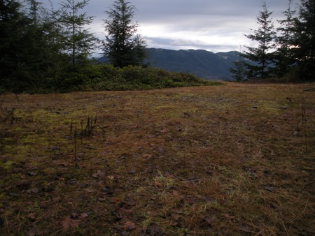
Sugarloaf Mountain
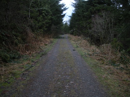
Road walk
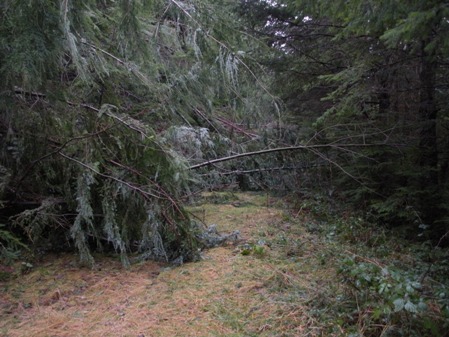
The road walk going bad
McDonald Mountain
NE from the east summit
The old landing on the east summit
Black Diamond Hill Lookout
It seems the hill was used as a lookout at some point based on information from the benchmark located just below the summit. Benchmark SX1344 located at N 47- 18.853 W 121- 57.632 (NAD 83) Altitude: 1204
Documented History (by the NGS)
1.1.1937 by WAGS (MONUMENTED)
DESCRIBED BY WASHINGTON GEODETIC SURVEY 1937 STATION IS ABOUT 3/4 MILE W OF FRANKLIN (AIR LINE) AND 100
YARDS N OF GROVE OF FIRS ON HIGHEST POINT OF THE HILL WHICH IS THE NE EDGE OF HILL ABOVE AND S OF THE W END OF PASTURE. STATION AND
REFERENCE MARKS ARE STANDARD STATE SURVEY DISKS WEDGED IN DRILL HOLES IN BOULDERS. STATION IS REACHED AS FOLLOWS--FROM CHAPMANS UNION
SERVICE STATION IN FRANKLIN GO S 0.4 MILE, TURN RIGHT AND FOLLOW MAIN TRAVELED ROAD 1.5 MILES TO HOUSE AND FARM BUILDING, CONTINUE
100 YARDS TO WHERE THERE IS A TURN INTO THE FIELD, 50 YARDS W OF TURN THERE IS A TRAIL GOING UP HILL. TAKE TRAIL COMING OUT AT TOP
OF HILL BY HOLLOW CEDAR STUMP THAT HAS BEEN USED AS A LOOKOUT. STATION IS 104 FEET E OF STUMP.
1.1.1966 by BPA (MONUMENTED)
RECOVERY
NOTE BY BONNEVILLE POWER ADMINISTRATION 1966 THE STATION RECOVERED IN GOOD CONDITION. THE TIMBER HAS GROWN AT THIS SITE AND IT WILL
TAKE A CONSIDERABLE AMOUNT OF CLEARING FOR A LINE OF SIGHT OUT IN ANY DIRECTION.
Note: Benchmark triangle just down from the NE corner of summit area
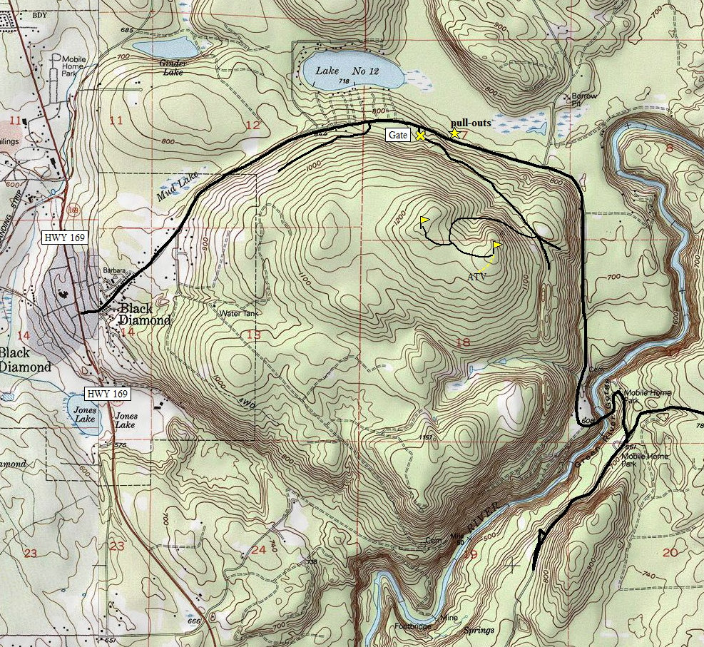
Note: Route shown is now marked with no trespassing signs


