Distance: 1/2 mile
Elevation Gain: 100 feet
Access: Paved
Benham Falls - Deschutes River Trail
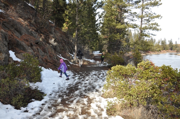
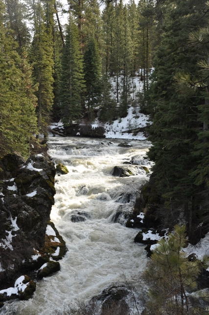
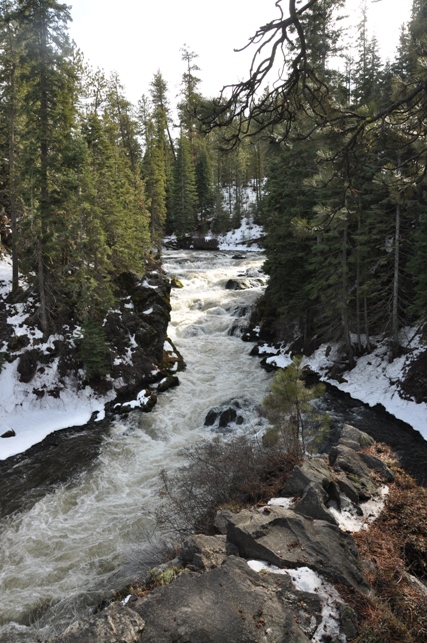
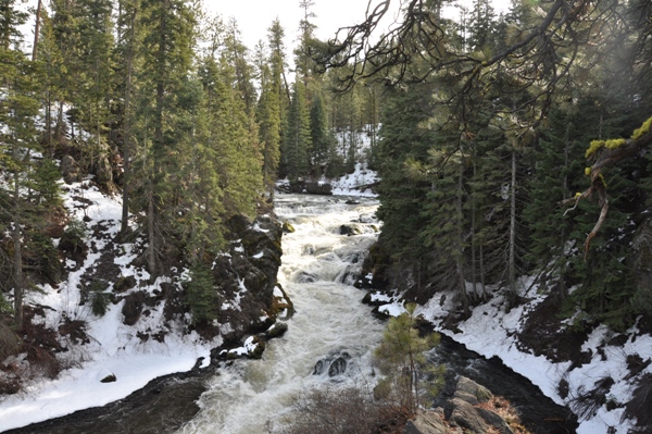
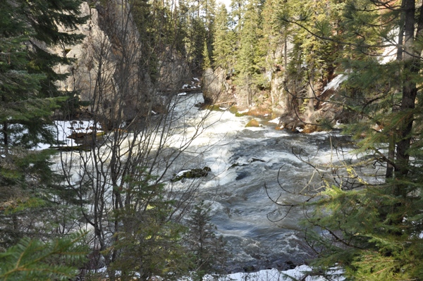
Possibly the largest waterfall on the Deschutes River, Benham Falls is more like a huge cascade than a traditional waterfall. The water drops over a series of ledges as the river passes through a large gorge. There are two options to reach the waterfall. One is to drive most of the way but a better option is a scenic half mile walk or bike ride along the Deschutes in the Newberry National Volcanic Monument. This route will take you over a bridge above the falls where the waterway is quite tranquil and slow, in route to the upcoming rapids of Benham Falls. Benham Falls was named for J.R. Benham who attempted to file a claim on land near the falls around 1885.
WillhiteWeb.com - Bend Parks & Recreation
From Benham Picnic Area (Hiking Access):
Access:
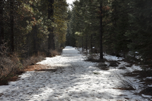
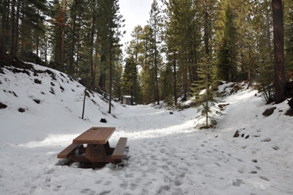
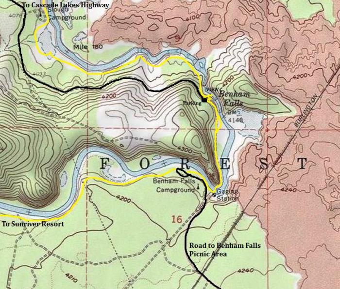
From the Benham Picnic Area, follow the trail a short distance to the wood bridge that crosses the Deschutes River. Once across, follow the wide trail that was once a railroad corridor. A minor alternate trail breaks off just before the falls and drops down to see the falls from the upriver perspective. For the best views, just stay on the main trail until you hit the vehicle access parking area. From there, you drop down a short trail to some fenced viewpoints looking out to the river.
Hiking Route:
From Parking Lot (Vehicle Access)
From Sunriver by trail:
Take Highway 97 south of Bend for around 15 miles. Turn off the highway at the signs for Lava Butte. Pass the entrance to Lava Butte and follow the paved F.S. Road 9702 for 4 miles to its end at the Benham Picnic Area.
Take the Cascade Lakes Highway in Bend toward Mt Bachelor. At around 6 miles from Bend turn left on FR 41, signed as the Deschutes River Recreation area. Drive 3.5 miles to FR 400 and turn left onto signed road for Benham Falls. Follow this road for 2.5 miles to its end at the falls. A short path drops down to the fenced viewpoint above the falls.
You can ride a mountain bike or hike from Sunriver. The trail begins at Circle 7 and winds through the Ponderosa Pine forest for 2.5 miles before hitting the Benham Picnic Area.
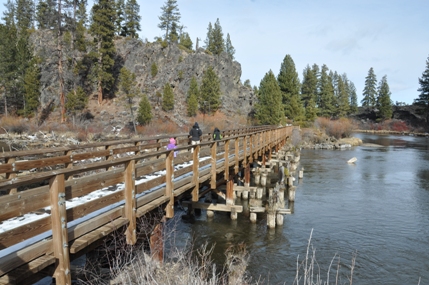
Bridge over the Deschutes River near the trailhead
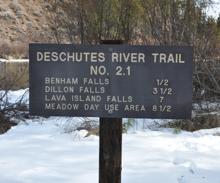
Sign at the Benham Trailhead
Approaching the parking area above the falls
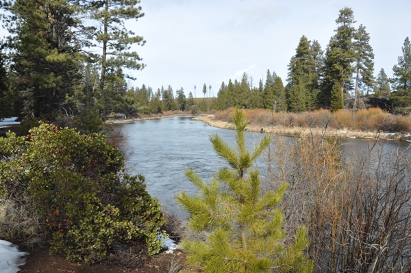
Deschutes River near the trailhead
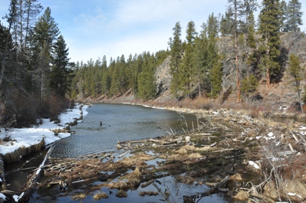
Deschutes River just before reaching the falls
Deschutes River Trail
View from above the falls
View from the overlook
View from the overlook
Benham Falls


