Wagonwheel Lake
WillhiteWeb.com - Olympic Mountains Hiking
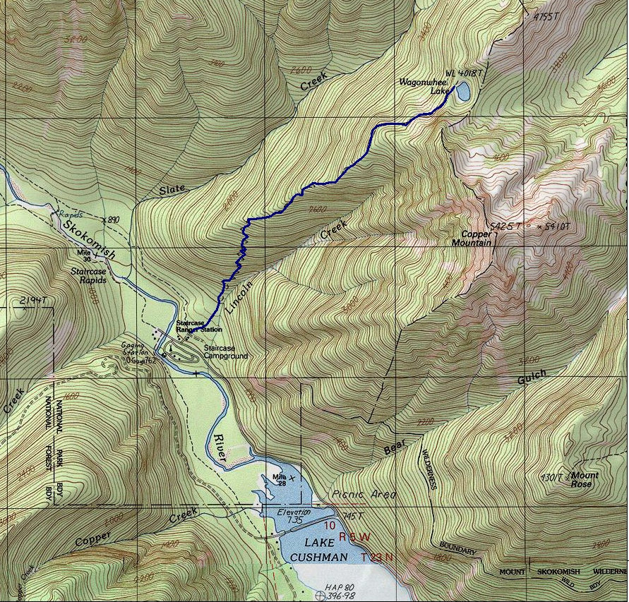
The Olympics are full of small tucked away lakes but for some reason Wagonwheel Lake was picked to have a trail. Wagonwheel is one of those hikes you do because others have all done it and you want to pipe in and contribute in the negative comments for the destination. The trail was likely built because it climbs out of the Staircase Campground area, so you know it will get used, even if the destination is seriously lacking. The trail gains over 1,000 feet per mile making it tough for most people. Word has it that if you continue up the open ridge beyond the lake you will get great views. A small path is reported to go 0.5 miles up the ridge north of the lake to meadows and Olympic views.
Distance: 2.9 miles
Lake Elevation: 4,100 feet
Elevation Gain: 3,200 feet
Access: Good dirt roads
Access:
From Hoodsport, turn onto State Route 119, go 9.3 miles to a T intersection with Forest Road 24. Make a left, follow for 1.7 miles to the end of the pavement. Continue on a good gravel road (FR 24) and in 3.7 miles come to a junction. Turn right and drive 1.2 miles to the Staircase Ranger Station. Trailhead parking is on your right, across from the campground.
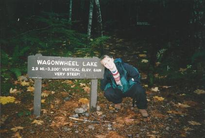


Sign giving away my secret that the trail gets very steep!
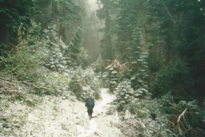
Trail as it climbs the forest slope
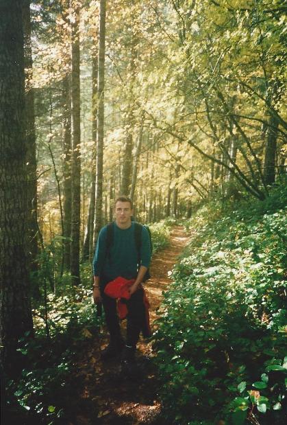
Trail as it gets close to the lake
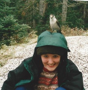
Bird entertainment
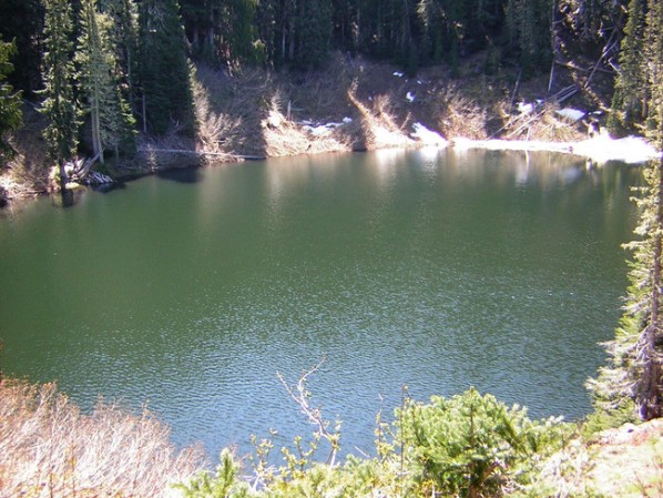
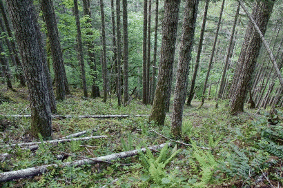
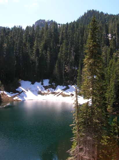
Other images from the web

Map for Wagonwheel Lake Trail


