Skokomish River Trail - Duckabush River
WillhiteWeb.com - Olympic Mountains Hiking
The Olympic Valleys are best hiked in one-way trips but arranging transportation can always prove tough. These are pictures of a trip my brother and I took in the early days of our outdoor pursuits. Our dad volunteered for the shuttle. The trip involved hiking from Staircase at just 800 feet elevation, up the North Fork Skokomish River, over just one pass called First Divide, then down the long Duckabush River Trail, nearly to sea-level at 400 feet of elevation. Because of the low elevation of the trip, we did it in spring, hoping the climb over First Divide wouldn't prove too bad. What we didn't expect were the hundreds of winter blowdowns in the upper Duckabush Valley that slowed us down. Luckily, we planned 4 days so we ended up with plenty of time, much of it spent enjoying the sun on Big Hump.
Distance: 33 miles
Highest Elevation: 4,688 feet at First Divide
Access: Good dirt roads
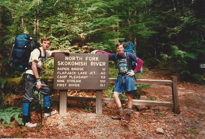
North Fork Skokomish River Trailhead
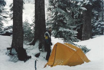
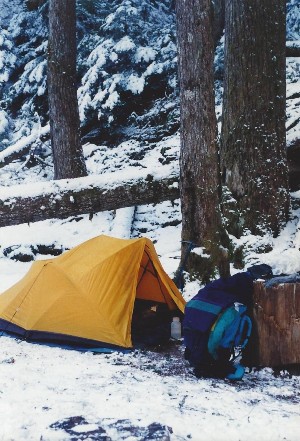
First night somewhere near Two Bear Camp
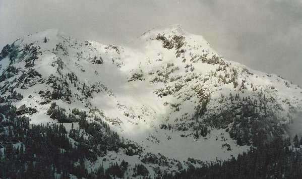
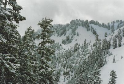
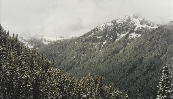
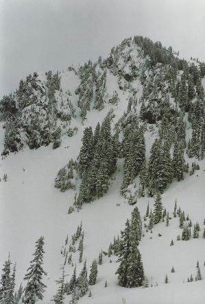
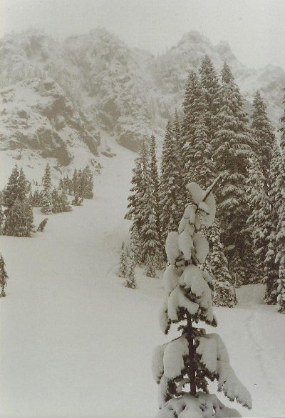
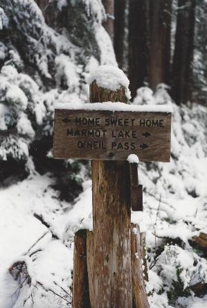
Views near First Divide
Views near First Divide
Mount Steel
Duckabush - NF Skokomish Junction
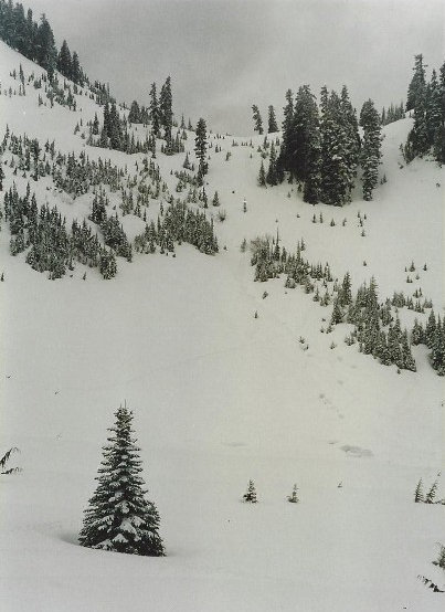
Route up to First Divide
Route down from First Divide
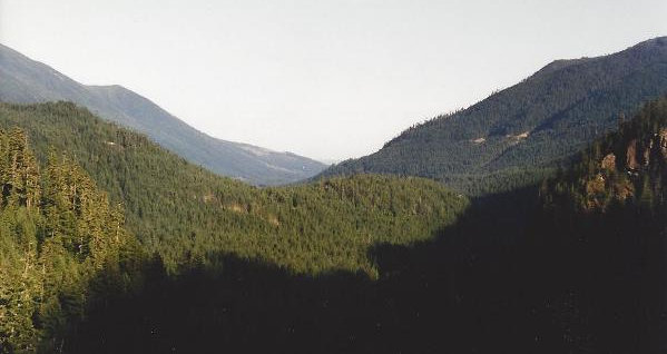
Looking down the Duckabush from Big Hump
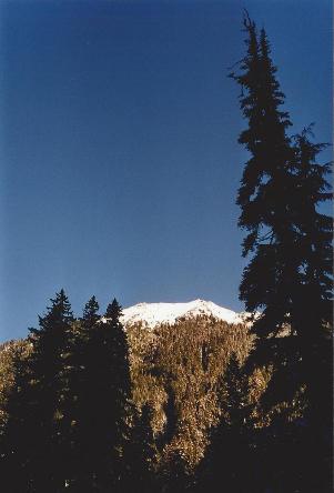
One of few views from the Duckabush Valley
2nd nights camp around the La Crosse Pass Trail
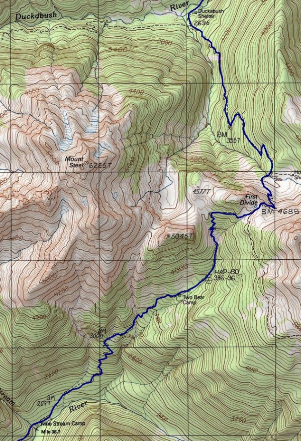
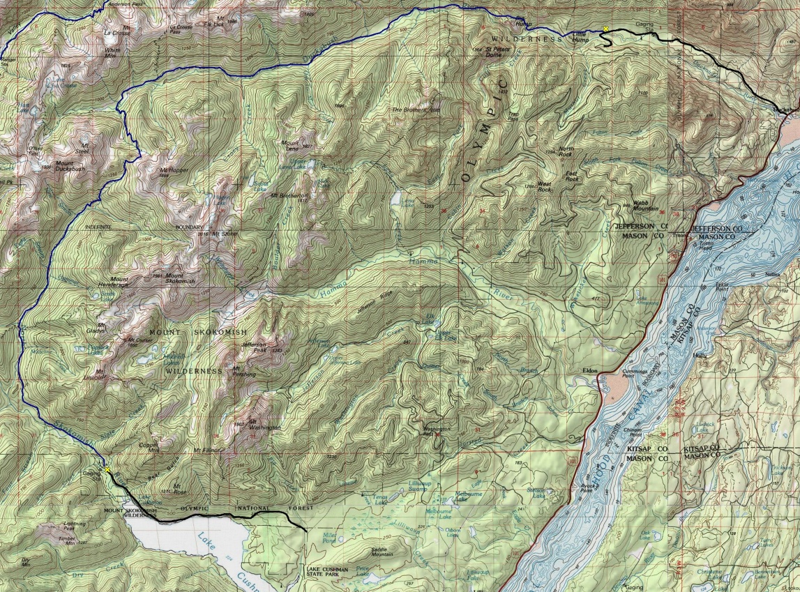
Above: Map of the climb over First Divide Below: Map showing the entire route
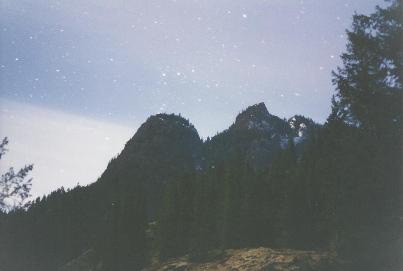
Night sky over St. Peters Dome
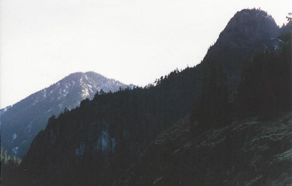
St. Peters Dome
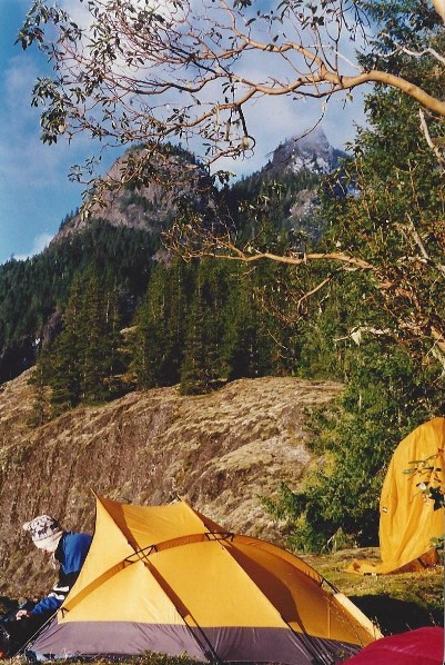
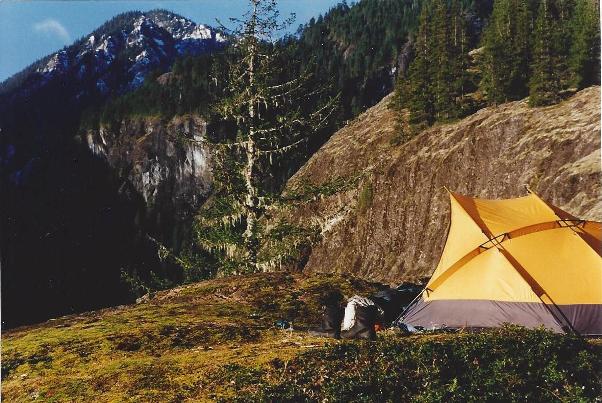
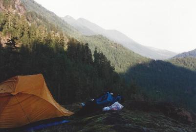
Camping on Big Hump in some welcome sunshine
Camp on Big Hump
Views near First Divide
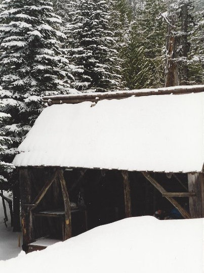
Shelter along the way


