WillhiteWeb.com - Hiking, Climbing and Travel
Kamilche 2 Benchmark
A perfect hike or biking trip for winter. This trip starts out near sea level adjacent to Hwy 101. It ends at a communication site with some unobstructed views to the north. Kamilche is on private timberland but is signed for non-motorized use welcome. If you do bike it, be prepared to carry your bike for about 5 minutes, access through the quarry is restricted.
Distance: 3 miles
Summit Elevation: 1,230 feet
Elevation Gain: 1,200+ feet
Access: Paved
Route:
Access:
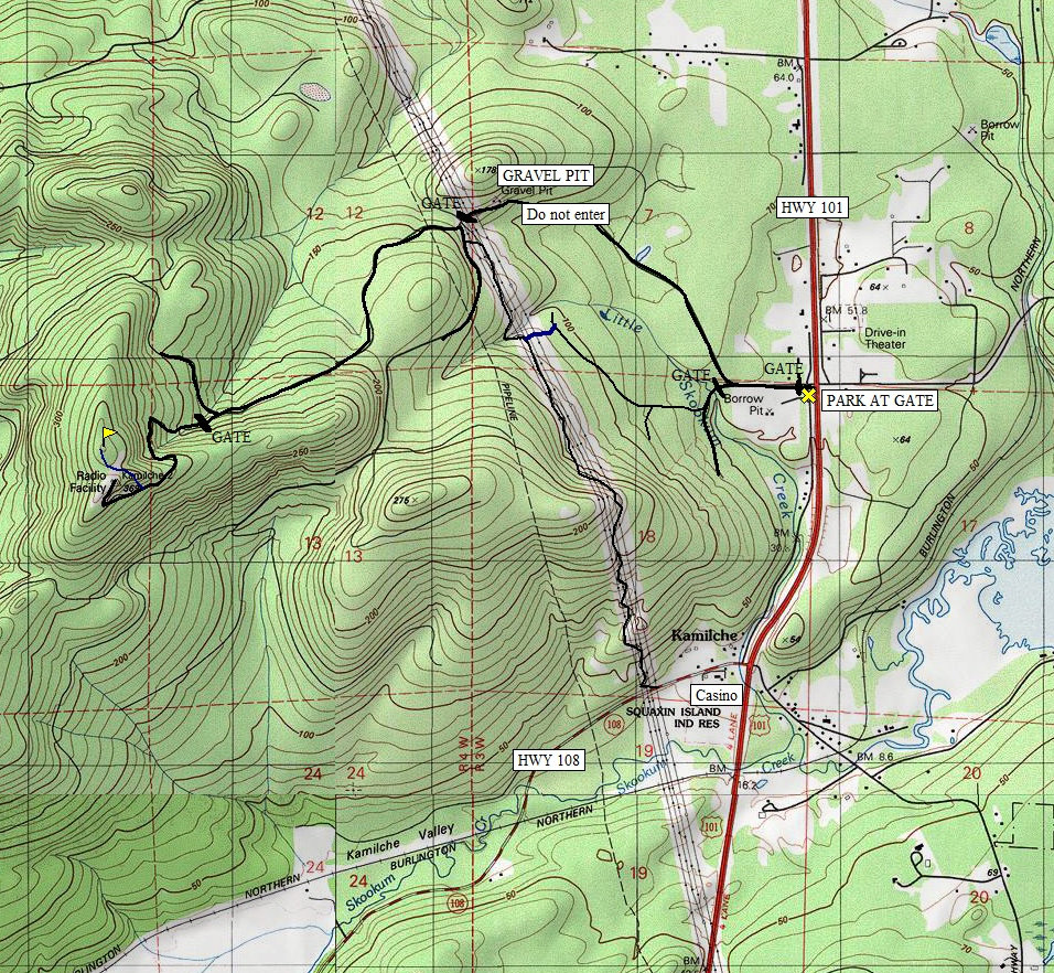
Walk or bike the wide road until the first curve. Look left down at a side road where you will see a locked gate. Take this road. It soon crosses Little Skookum Creek then forks. Go right uphill. Follow the logging road as it climbs west and northwest slowly getting closer to the powerlines. The road is nearest to the powerlines just before Little Skookum Creek. A line of alder trees is all that is left, walk through newly planted trees (2010) to the alders, and under the powerlines. Once under, follow game trails through the small brush until you reach the powerline road. (5 minutes road to road) Follow the powerline road over over a small rise and to a road. Turn right, drop down to the gate for the Quarry. Make a sharp left and you are now heading to the peak. In a mile or so is one final Y, turn left at a gate. It gets steep but climbs directly to the summit. The highest tower as a nice open view to the north. If you are a diehard peakbagger, the highest point is not at the towers. To reach the highest point, just before the first communication tower and final switchback, look for an overgrown, abandoned road to the right. The old road will fork higher up, take the left branch and follow it to the end. The small summit was once a logging platform but is now overgrown with almost no views. 1 hour up, 20 minutes down
Take Highway 101 north from Olympia to Kamilche. The next major intersection north is a street on the right called SE Lynch Road. Across the street (a divided highway) is the access road. Park at the gate, right next to the signs for the Little Creek Rock Quarry.
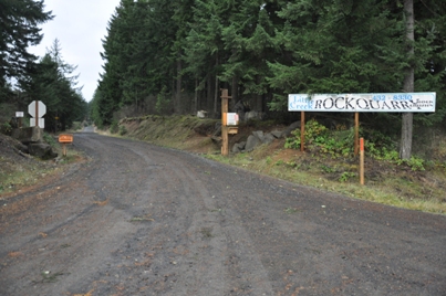
Little Creek Rock Quarry - Road to Kamilche 2 Benchmark
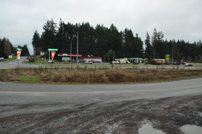
Gas and a diner at the trailhead!
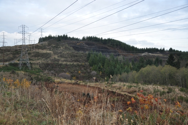
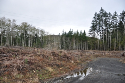
On the powerline road, the rock quarry is on the right, property line goes to the powerlines
The powerline easement is just on the other side of that thin line of trees
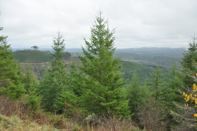
Oyster Bay
Looking SE near the summit
Open spot in the road
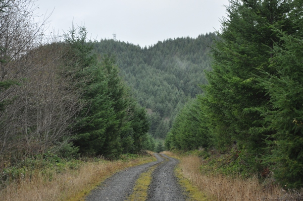
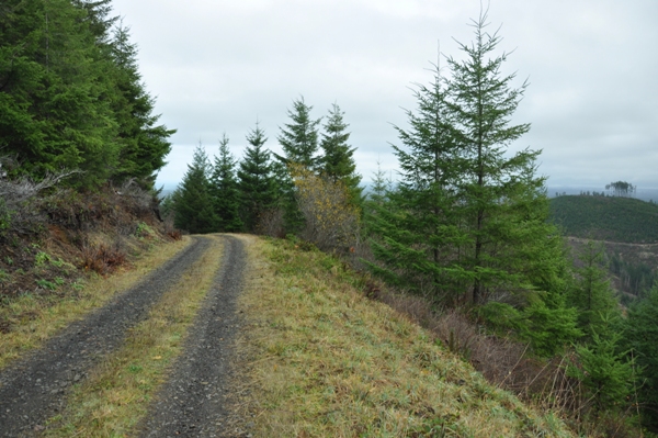
Road with summit above
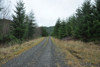
On the road
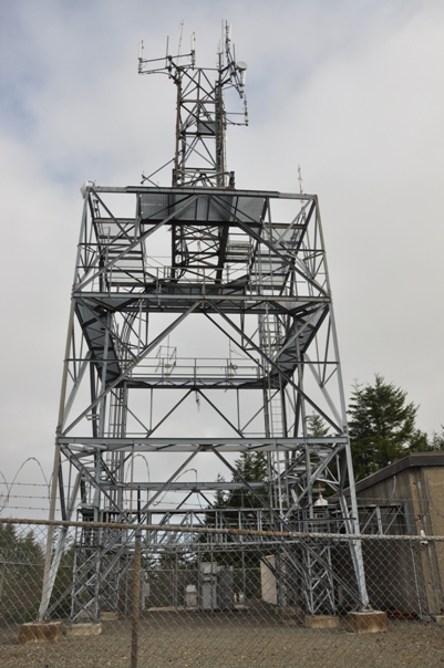
Main tower
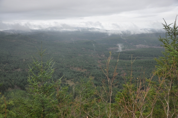
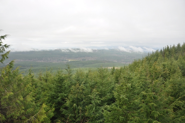
Looking northeast
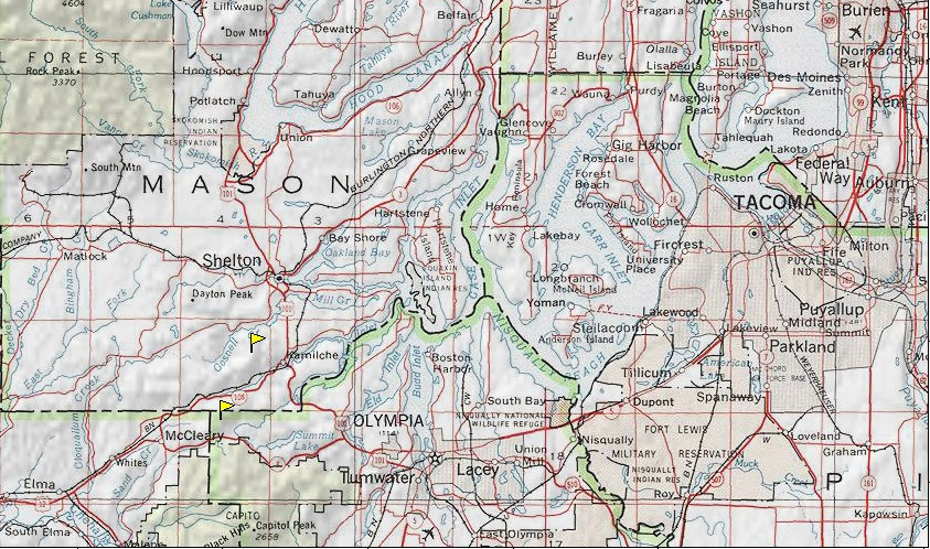
Above: Topo Map with blue as the section off the road Below: the area of Kamilche with the upper flag being this Kamilche trip
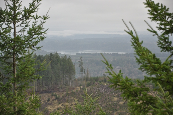
Looking north toward Hood Canal
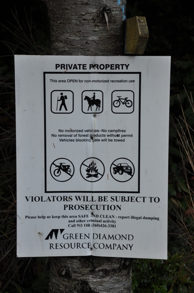
Sign at the first gate and at the power line road
Lookout History
There is a chance this location had a fire lookout. But, I only say this because one unreliable map (shown below) has a lookout written in this location.
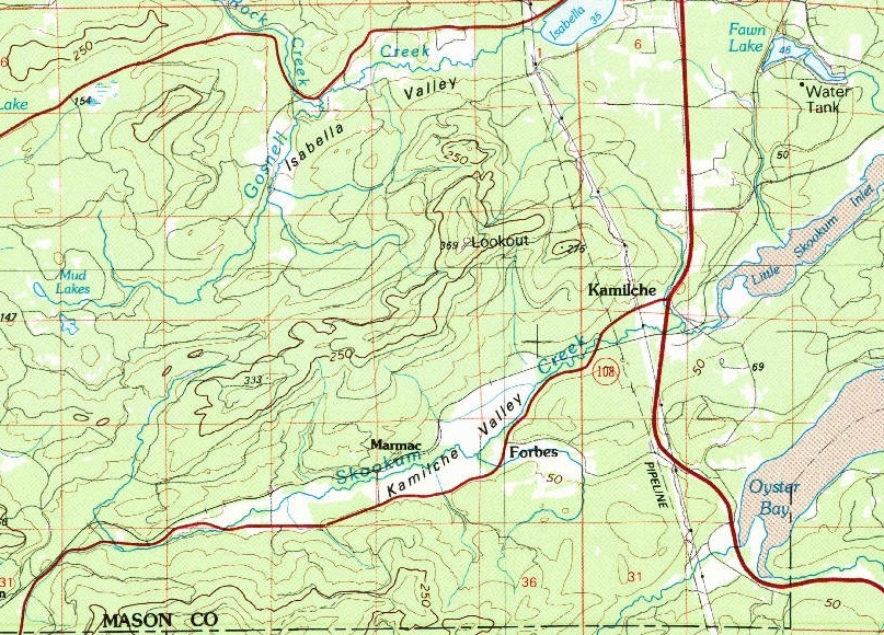
1988 Map showing a lookout on Kamilche


