Elwha River Trail to North Fork Quinault
WillhiteWeb.com - Olympic Mountains Hiking
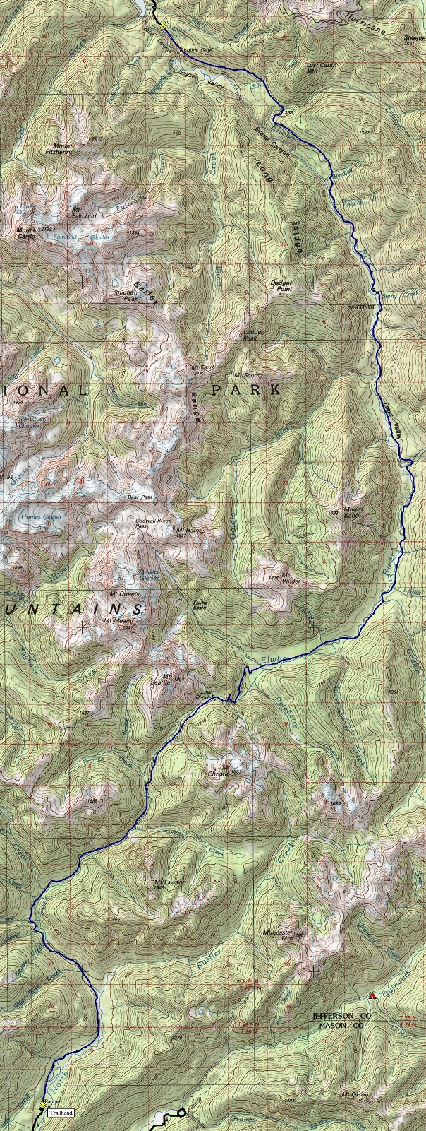
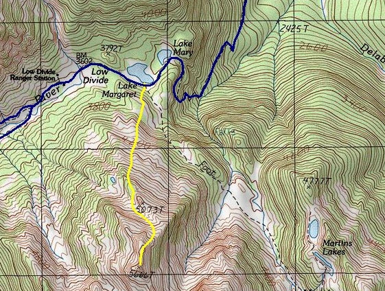
These are pictures of a Boy Scout trip across the Olympic Mountains that I did as a teenager. The easiest way to cross the entire mountain range is to hike the Elwha Valley, over Low Divide, and down the Quinault River. This is how the first expedition crossed the Olympics in 1889, dubbed the Press Expedition since they were funded by the Seattle Press newspaper. Although the forests of the valley bottoms and endless creek crossings are beautiful, there is little more to see on this trek. Knowing the history of the area helps as many historic homesteads are passed in the Elwha. Reading a book about the press expedition along the way is also fun. The highlight is crossing over Low Divide. There you pass Lake Margaret and Lake Mary with distant views of majestic peaks looming above. To spice things up and get a few good views in, we climbed the slopes above Low Divide to an un-named peak labeled Point 5,666. On top we were treated to views of Mt. Seattle and Mt. Christie, two of the most remote Olympic peaks.
Distance: 44 miles
Highest Trail Elevation: 3,602 feet at Low Divide
Access: Good dirt roads
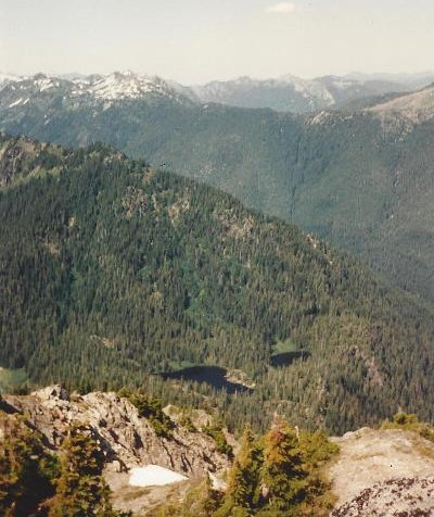
Looking down on Lake Mary and Lake Margaret on Low Divide
Trail split west of the Low Divide Ranger Station
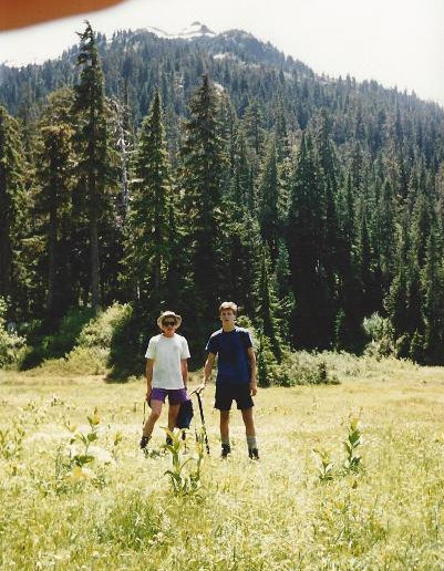
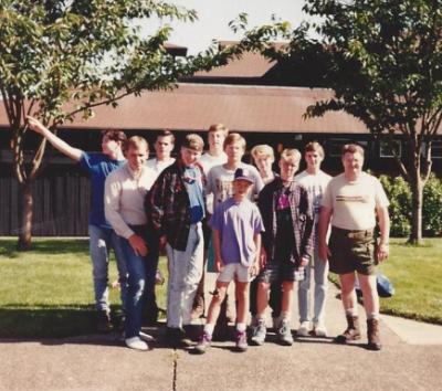
Our scout troop
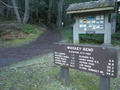
Trailhead sign
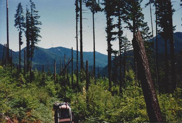
Views thanks to an old burn area in Elwha Valley before Lillian Camp
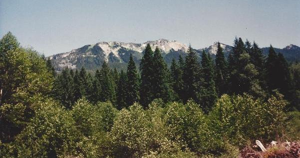
Views from the occasional open area (east from Camp Wilder area)
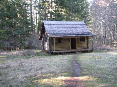
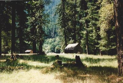
Cabin
Elkhorn Ranger Station
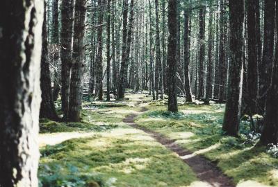
Elwha valley trail
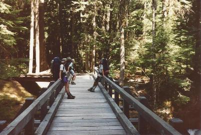
One of many bridge crossings
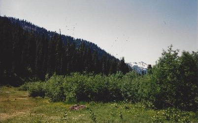
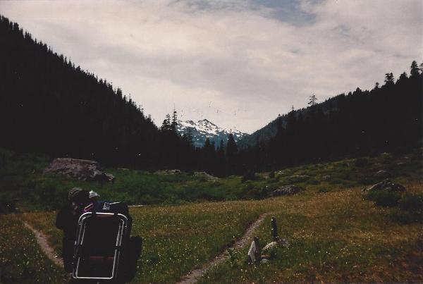
The un-named peak we climbed...started from this meadow
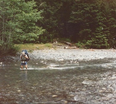
Fording the North Fork Quinault River
Map showing route from Low Divide to Point 5,666
Left: Map showing the entire 44 mile route across Low Divide
Left to Right
Brigham Graff
Bro Paul
Jason Mitchell
Neal Graff
Eric Willhite
Kevin Willhite
James Paul
Jeff Davis
Mike Gregory
Brad Whimpey
Larry Willhite
View south from Bear Camp at Low Divide
Press Valley
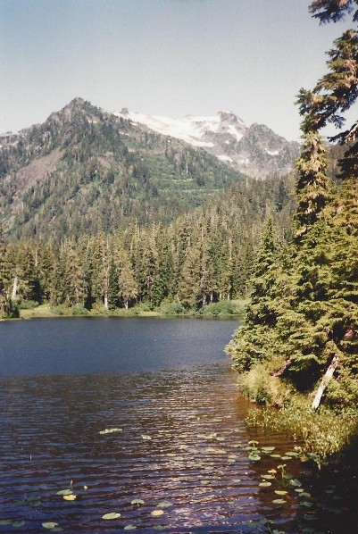
Lake Margaret & Mt. Seattle
Mt. Seattle
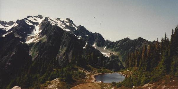
Tarn & Mt. Seattle
Press Valley
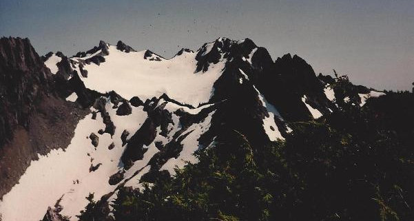
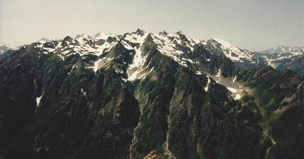
Mt. Christie from peak 5,666
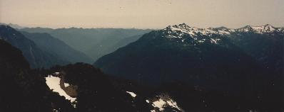
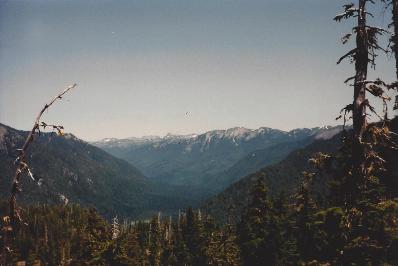
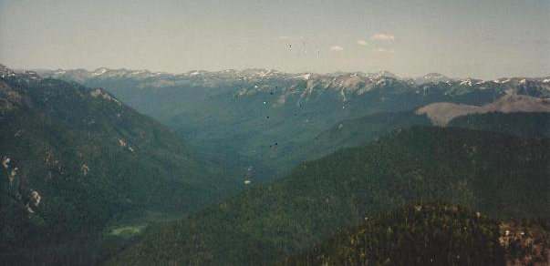
Looking down the North Fork Quinault River Valley, our route home


