
Sterling Hill
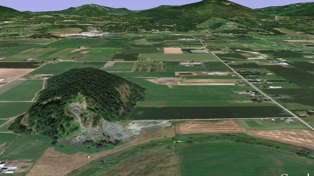
Sterling Hill is a small knob in the flatlands of the Skagit Valley between Burlington and Sedro Woolley. The rocky knob has survived rivers and ice for centuries so it is no surprise to find a large open rock quarry chipping away at it. The quarry currently seems inactive for now. Sterling Hill has around 348 feet of prominence.
WillhiteWeb.com - Washington Hiking
Access:
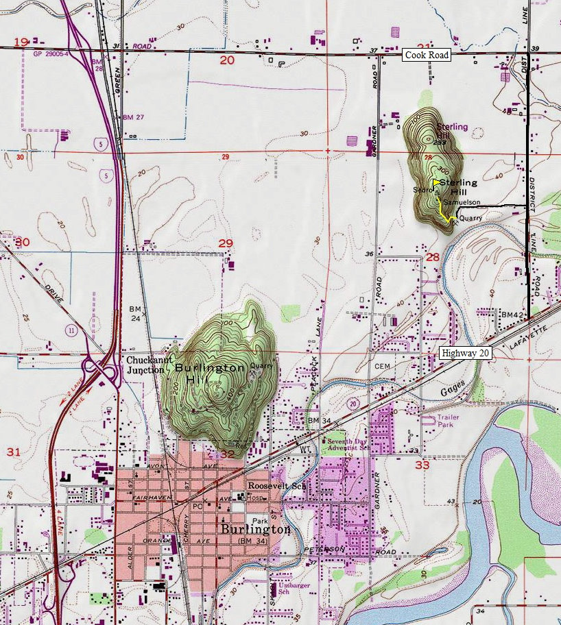
On Highway 20, midway between Burlington and Sedro Woolley, find District Line Road. Follow it north to Morgan Lane, which is somewhat hidden, close to a farm house. Follow Morgan Lane to the end, in a huge gravel lot.
Route:
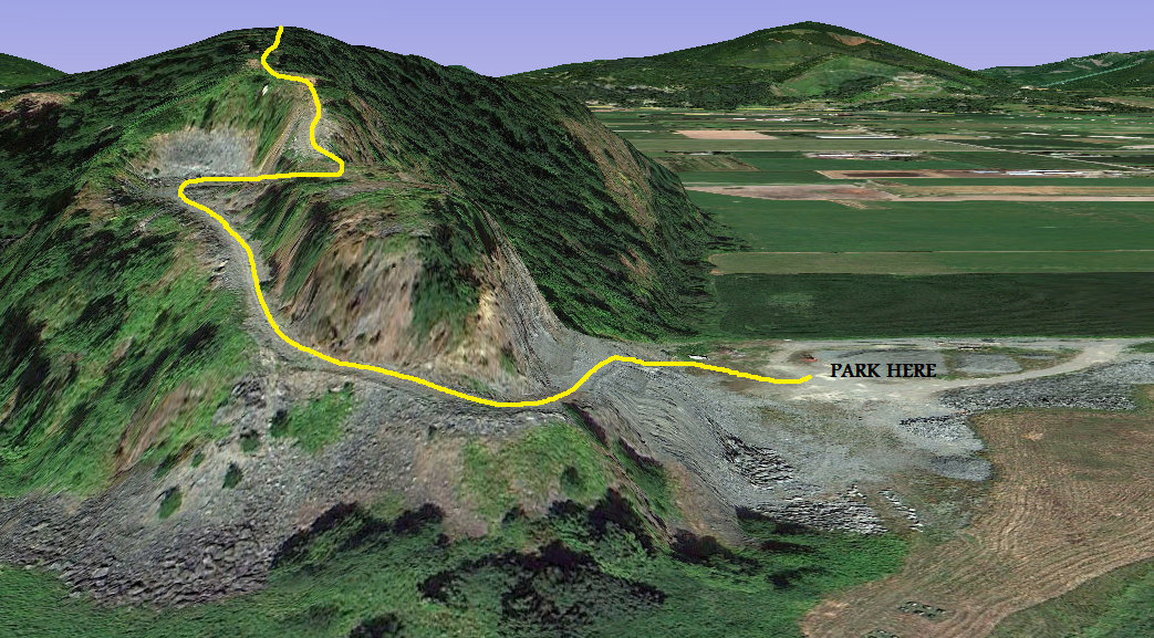
Walk the quarry road steeply uphill until you are above the quarry. Follow a dozer trail into the woods up to the summit.
Distance: 0.3 miles
Elevation Gain: 350 feet
Summit Elevation: 390 feet
Access: Gravel
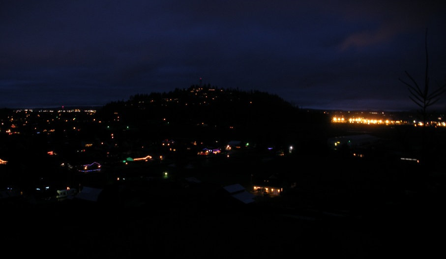
Burlington Hill from the quarry road up Sterling Hill


Morgan Lane to Sterling Hill
Sterling Hill Route


