Distance: 3.6 miles one-way, 5 miles long way
Summit Elevations: 3,087 feet
Elevation Gain: 2,800 feet
Access: Paved
Whacme or Stewart or Haner, Mountain
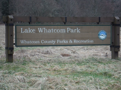
What to call this mountain with three names! Standing tall on the east side of Lake Whatcom, this mountain is home to one of the largest parks in Washington. Lake Whatcom Park is managed by Whatcom County Parks & Recreation. Its massive size is thanks to a 2014 reconveyance of land from the DNR back to the county. Much of the park is developed at the trailhead but the upper mountain will take years for a signed trail system to be mapped and developed. In time, the mountain has potential for becoming similar to the Chuckanut trails on the other side of I-5. Whacme-Stewart-Haner Mountain has an extensive network of biking and hiking trails. There is also the Wickersham Truck Trail Road which offers a quick and direct route toward the summit. Of course, there are much more scenic trails but only those who visit often know where they all lead to. To reach the summit is to reach the 3,087 foot mark where recent timber harvests have opened the view in all directions. The summit is one of Washington's prominent highpoints, #66 on the list. Deep valleys drop in all directions except for the long north ridge which offers much more explorations until it also drops down to the valley floor.
Washington Hiking & Climbing
Find your way to Bellingham and head east to Lake Whatcom. Get onto the Northshore Drive North and follow it on the east side of the lake going south until near its end when you see signs for Lake Whatcom Park. Take a left into the park where you quickly find a parking area. To the left is an upper parking area just a bit further. Park there.
Access:
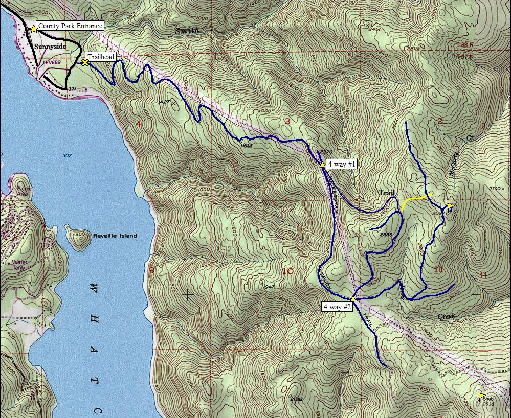
The road route leaves from the parking upper lot as do two hiking trails. Instead of the road, you can take the upper trail which will merge with the road after the first big switchback. From there, you continue to follow the road...unless you know where all the trails go. The road climbs up near or under the powerlines to a ridgeline at 2,300 feet. Here you hit a 4 way intersection. Leave the main road and take the second left turn (the one paralleling the mainline road, but going uphill). This road will climb to the top of the ridge, then enter a forest through an entrance that isn't visible from a distance. The road soon turns into an abandoned road and a trail follows the old roadbed. This trail eventually ends at a road between point 2985 and the summit. A possible trail breaks off just before reaching it but if you don't see it, once you hit the established road, just to the left, about 200 feet, is another old abandoned road that will take you in the direction of the harvested area below the summit. Just climb the open area up to the ridge-top where slash piles are visible. At the top of the ridge you find a logging road that will take you directly to the summit (going south). The best view near the summit is on the east side of the ridge but the highest point is in the re-gen trees nearby. You can make a loop if you want to add 1.5 miles on the return by going down a road to the south of the summit. Follow the map below. Other trails do and will in the future exist to make this a more interesting hike.
Route:
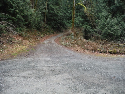
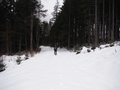
Start of the Wickersham Truck Road Trail
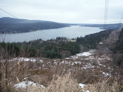
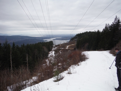
Lake Whatcom from the first views 10 minutes into the hike
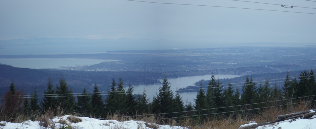
Views from near the 4 way intersection out to Bellingham
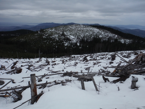
Point 2985 from near the summit
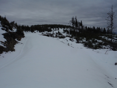
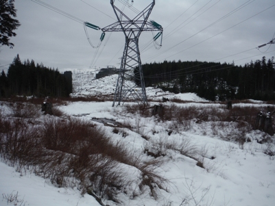
Wickersham Truck Road
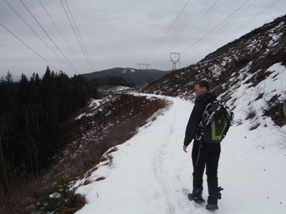
Walking the Wickersham Truck Road Trail between the two 4-ways
View to Snub BM from 2nd 4-way
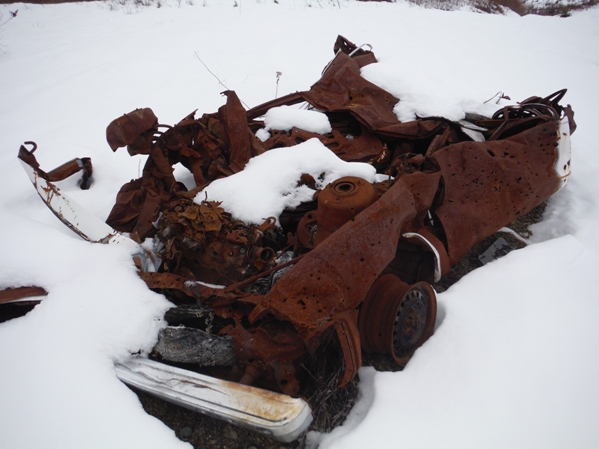
This is why it's called a "dumpster dive" summit
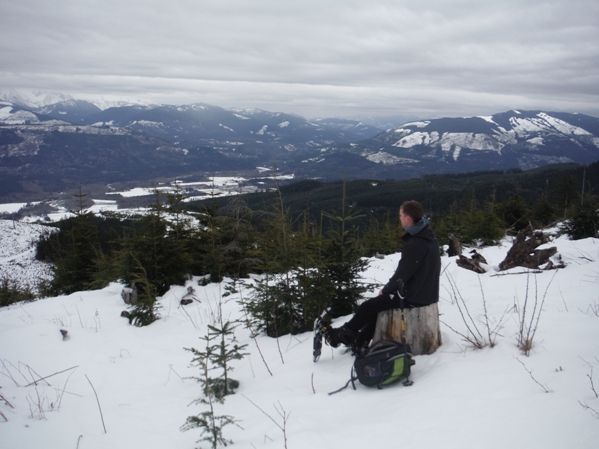
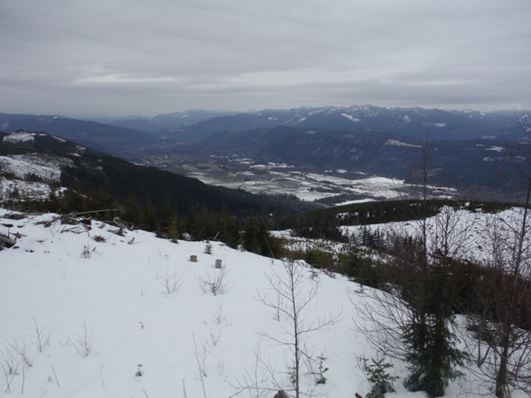
Looking SE from the summit
Walking the final bit to the summit
Looking NE from the summit
East of the second 4-way


