WillhiteWeb.com
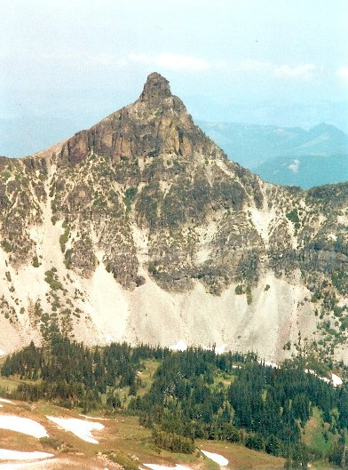
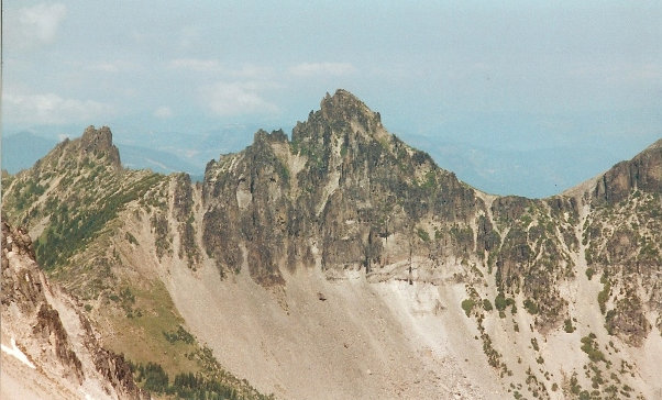
Sluiskin Mountain is one of the hardest places to reach in Mount Rainier National Park. Sluiskin was the name of the Native American who tried to dissuade the original summit party of Rainier from attempting the peak in 1870. Now I will try to persuade you to attempt this peak. Sluiskin has two summits, both noticeable from long distances. The higher eastern summit is called The Chief. The western summit called The Squaw. The Chief is a short class 3 to 4 climb, with some exposure. Most will want to camp in the area although it is a possible as a very long day trip. There are trailside camps at Yellowstone Cliffs, located 5.8 miles from the Ipsut trailhead, and at Lake James Ranger Cabin, 8.5 miles from the Ipsut trailhead. Cross-country camping opportunities also exist for experienced minimum impact backpackers.
The Chief of Sluiskin Mountain
Distance: 7 miles from Ipsut Creek Campground, +5 from entrance
Elevation Gain: 5,700 feet from Carbon River
Summit Elevation: 7,026 feet
Access: Paved to park entrance
Take State Route 410 to Buckley. Turn right onto SR 165. Proceed to the bridge over the Carbon River Gorge and then bear left to Mount Rainier National Park's Carbon River Entrance. Flood damage has closed the road so you must bike or walk the road for 5 miles to the Ipsut Creek Campground. You can also get to Sluiskin by sneaking into the park on the White River Trail off forest road 74, although this access is uncertain at this point.
Access:
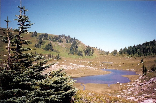
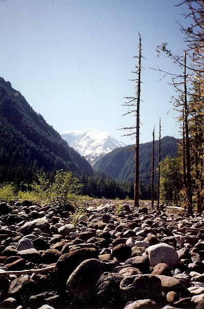
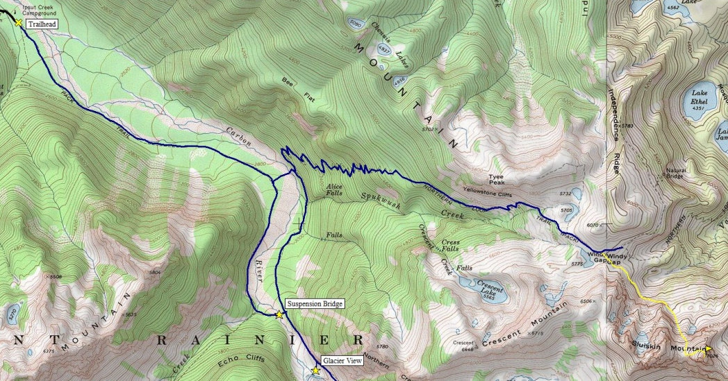
The trail starts easy along the valley floor, close to the river, with the Wonderland Trail soon joining. At 2.5 miles, the trail goes across the Carbon River. The river often floods and frequently chances course, washing out the bridge. Check to see the bridge is back in place. On the far side of the river, the Wonderland Trail turns right, the Northern Loop Trail goes left. This left goes down the valley 1 mile, and then begins an unrelenting 3,000 foot 4-mile climb to Windy Gap. The first 3 miles are through an open forest on a smooth trail with many switchbacks. Then you enjoy Tyee Peak and the colorful Yellowstone Cliffs the final mile. Approaching Windy Gap one sees a pair of small lakes to the left and another to the right. The open country of 6,300 foot Windy Gap offers very nice views. From Windy Gap, traverse below the north cliffs of The Squaw until you are below the saddle between The Squaw and The Chief. Scramble up to the saddle, then go East getting on the north ridge of The Chief. Climb the final exposed rock very carefully. I was solo but would have used a rope if I had one.
Ipsut Creek Route from Campground:
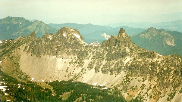
Sluiskin Mountain from Third Burroughs Mountain
The Squaw
The Chief
Tyee Lake from the Northern Loop Trail
Crossing the Carbon River
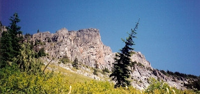
Yellowstone Cliffs
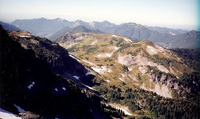
From the upper mountain looiking back at Windy Pass and Tyee Lake. Sorry, this was the only picture I took on the upper mountain.
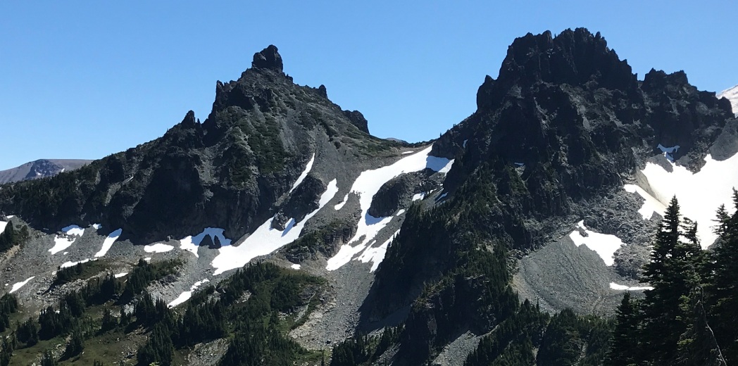
The Chief and the Squaw from Independence Ridge


