willhiteweb.com - Hiking, Climbing and Travel
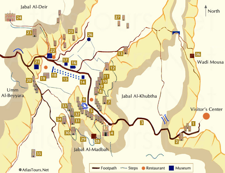
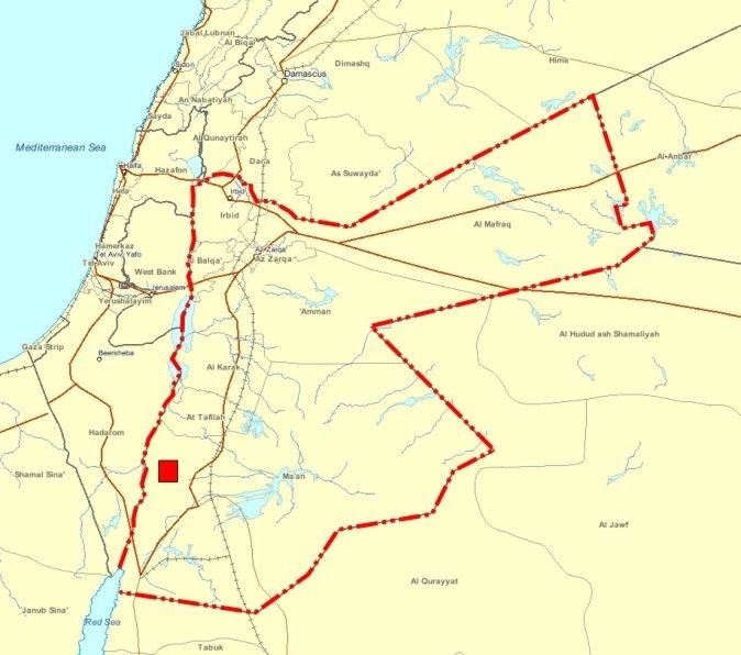
Petra was established sometime around the 6th century BC as the capital city of the Nabataeans. It is famous for the architecture being cut out of the rock. Petra is the symbol of Jordan as well as its most visited tourist attraction. Petra has been a UNESCO World Heritage Site since 1985. Petra remained unknown to the Western world until 1812, when it was introduced by Swiss explorer Johann Ludwig Burckhardt. UNESCO has described it as "one of the most precious cultural properties of man's cultural heritage". Enclosed by towering rocks and watered by a perennial stream, Petra not only possessed the advantages of a fortress, but controlled the main commercial routes which passed through it to Gaza in the west, to Bosra and Damascus in the north, to Aqaba and Leuce Come on the Red Sea, and across the desert to the Persian Gulf.
Excavations have demonstrated that it was the ability of the Nabataeans to control the water supply that led to the rise of the desert city, creating an artificial oasis. The area is visited by flash floods and archaeological evidence demonstrates the Nabataeans controlled these floods by the use of dams, cisterns and water conduits. These innovations stored water for prolonged periods of drought, and enabled the city to prosper from its sale.
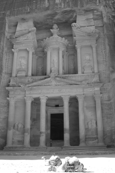
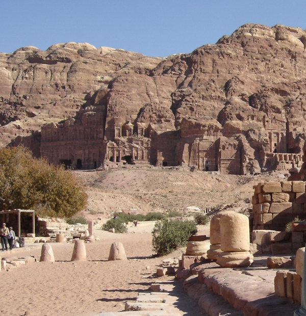
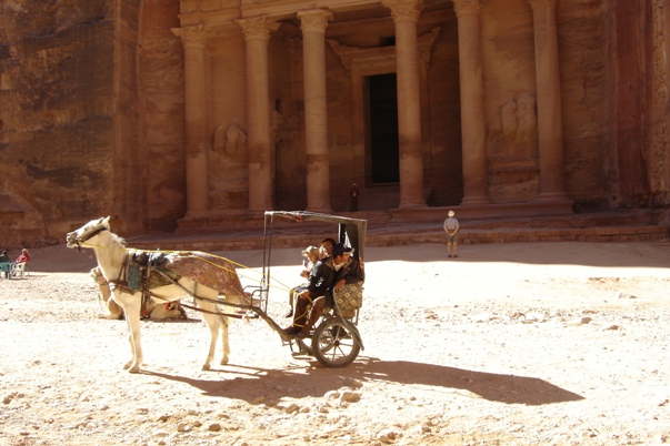
Most modern visitors approach the site from the east. The impressive eastern entrance leads steeply down through a dark, narrow gorge called the Siq (the shaft), a natural geological feature formed from a deep split in the sandstone rocks and serving as a waterway flowing into Wadi Musa. At the end of the narrow gorge stands Petra's most elaborate ruin, Al Khazneh (known as the Treasury), hewn into the sandstone cliff.
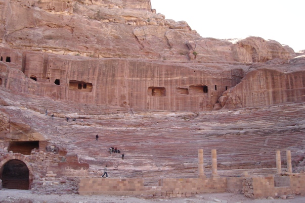
A little further from the Treasury, at the foot of the mountain called en-Nejr, is a massive theatre, so placed as to bring the greatest number of tombs within view. At the point where the valley opens out into the plain, the site of the city is revealed with striking effect. The amphitheatre has been cut into the hillside and into several of the tombs during its construction. Rectangular gaps in the seating are still visible. Almost enclosing it on three sides are rose-coloured mountain walls, divided into groups by deep fissures, and lined with knobs cut from the rock in the form of towers.
In 106 AD, when Cornelius Palma was governor of Syria, that part of Arabia under the rule of Petra was absorbed into the Roman Empire. The native dynasty came to an end, but the city continued to flourish. Petra declined rapidly under Roman rule, in large part from the revision of sea-based trade routes. In 363 an earthquake destroyed many buildings, and crippled the vital water management system. The ruins of Petra were an object of curiosity in the Middle Ages and were visited by Sultan Baibars of Egypt towards the end of the 13th century. The first European to describe them was Swiss traveller Johann Ludwig Burckhardt in 1812.
Because the structures weakened with age, many of the tombs became vulnerable to thieves, and many treasures were stolen. In 1929, a four-person team, consisting of British archaeologists excavated and surveyed Petra.
Petra, Jordan
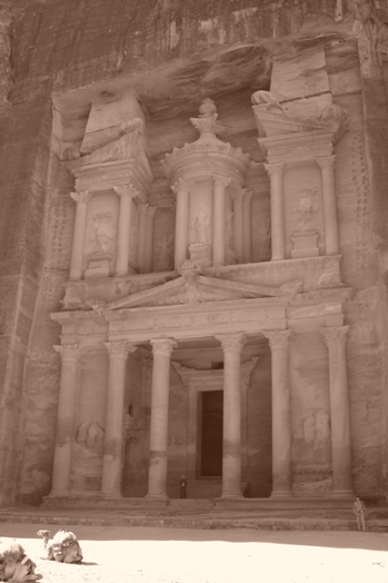
The Treasury
The Theatre could hold up to 7000 people
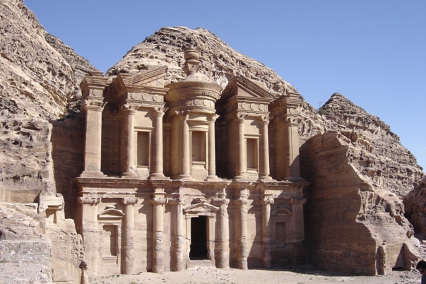
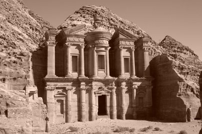
The Monastery
The Monastery
The Treasury
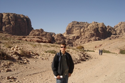
Approaching the east entrance to Petra
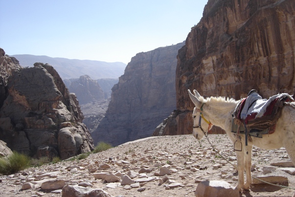
If you don't want to walk around the lower site, you can take one of these
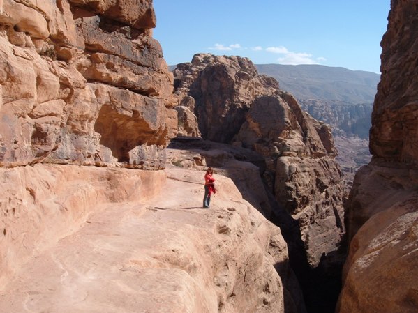
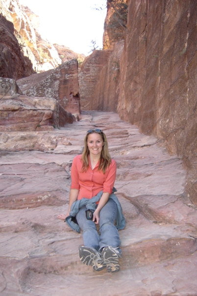
Stairs and walkway cut into the rock
Sites 8-11 on the map at the bottom of page
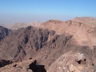
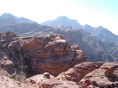
View from the top of Petra
From the top of Petra you can look down on the Dead Sea
A few people took one of these up all the steps
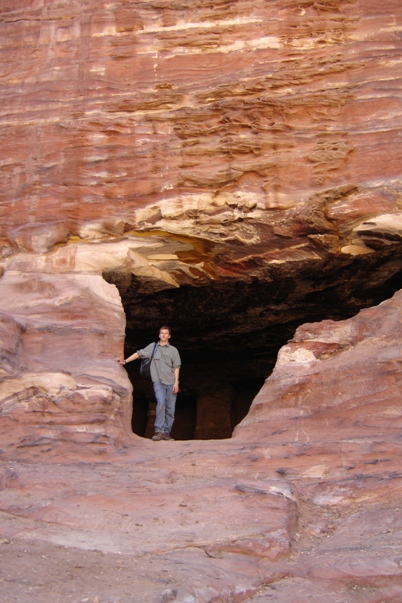
One of many entrances to dwellings
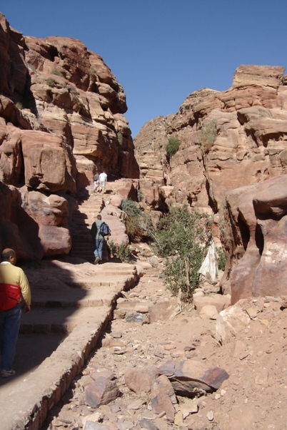
Trail in the upper part of the city
Steps to the upper parts of Petra


