This is a place of ancient volcanos, where 3 secret forested craters exist amongst hidden lava flows. This volcano has no name, it is not beloved like its bigger siblings nearby like Adam and Helen. This low in elevation volcano offers little for the climber, just a place during the off season for a peakbagger to go dumpster diving. What was or was not part of the mountain is not clear, so just climb all the points around and call it a day.
WillhiteWeb.com
Soda Peaks, Twin Rocks, West Crater, Bare Mountain, Puny Peak
Access
There is paved access on FR 54 out of the Wind River Valley, up out of Carson in the Columbia River Gorge. Access is also possible from the west on FR 54 out of Chelatchie. This route is long on a mix of paved and gravel roads. Access is usually possible through October even if there has been one or two snowfalls so far that year.
Routes
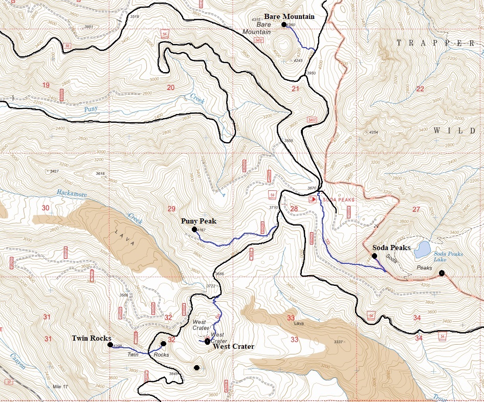
See the map below but here are some basics.
Soda Peaks has a trail almost to the summit, then short ridge walk in trees to top. Lake is a side trip.
Bare Mountain has no trails. Bushwhack to summit block, class 3 at top.
West Crater has a trail to the summit that once ended in the crater.
Twin Rocks starts on an old road then a bushwhack to rocky summit.
Puny Peak has a high clearance road but makes for a pleasant hike.
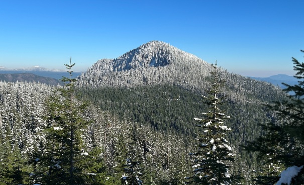
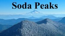
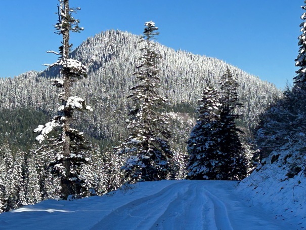
Soda Peaks from road up Puny Peak
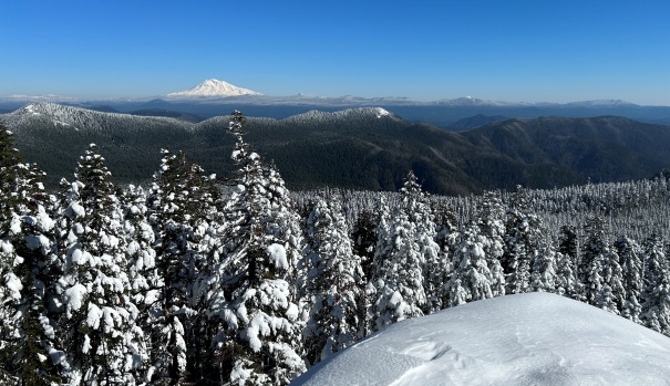
Mount Adams from Bare Mountain
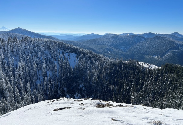
South from Bare Mountain with 300 foot deep crater directly below
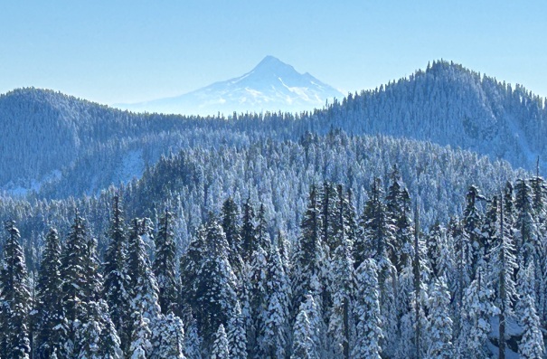
Mount Hood from Bare Mountain
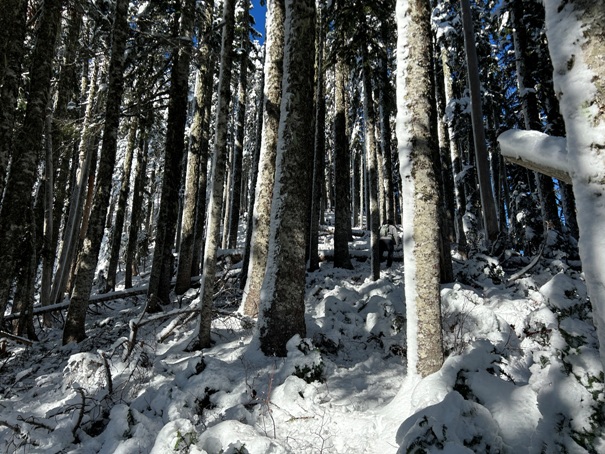
Forest near the summit of Bare Mountain
West Crater
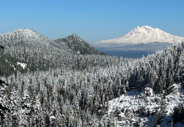
Mount Adams from the West Crater Trail
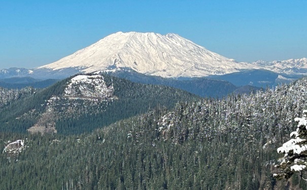
Mount St. Helens
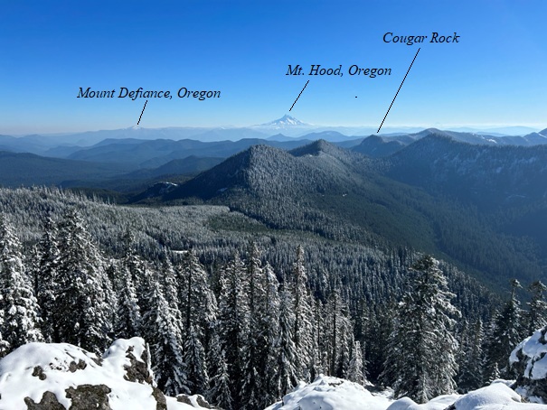
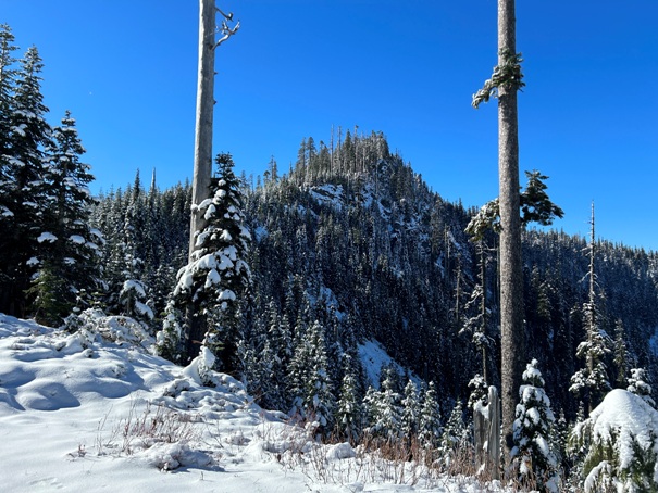
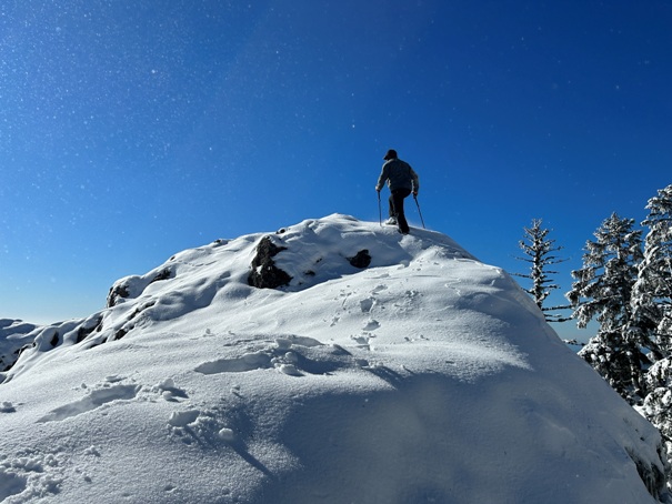
Twin Rocks summit
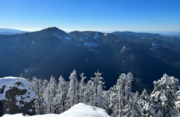
View south from Twin Rocks
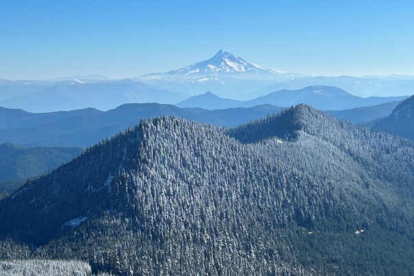
Mount Hood from Twin Rocks
Green Lookout Mountain from Twin Rocks
Twin Rocks from the starting area of the route
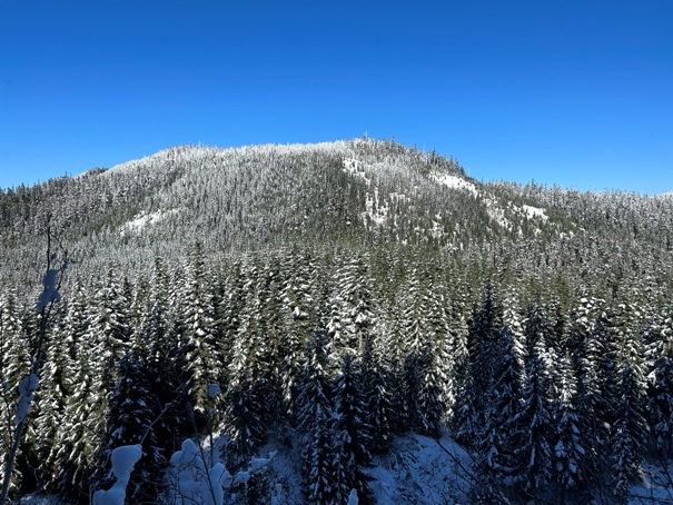
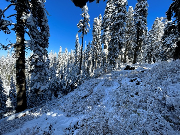
In West Crater
South side of Puny Peak from West Crater Trail
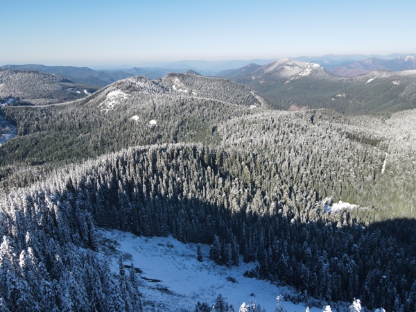
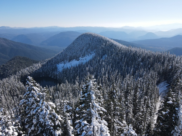
Soda Peaks Lake, also called Lost Lake in old hiking books. East Soda Peak above. (drone)
Looking over the Wind River drainage with Bunker Hill, Dog Mountain and the Columbia River
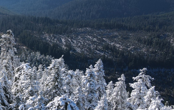
Looking down on a lava flow (drone)
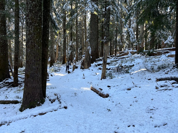
Trail to Soda Peaks Lake and the Trapper Creek Wilderness
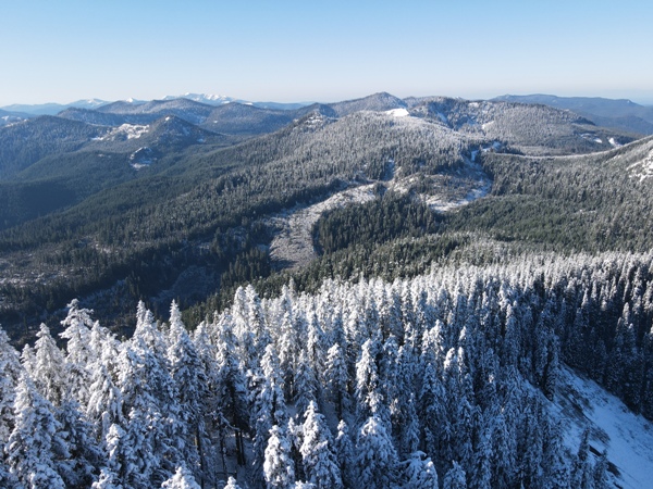
SW toward the Yacolt State Forest (drone shot from above summit of Soda Peaks)
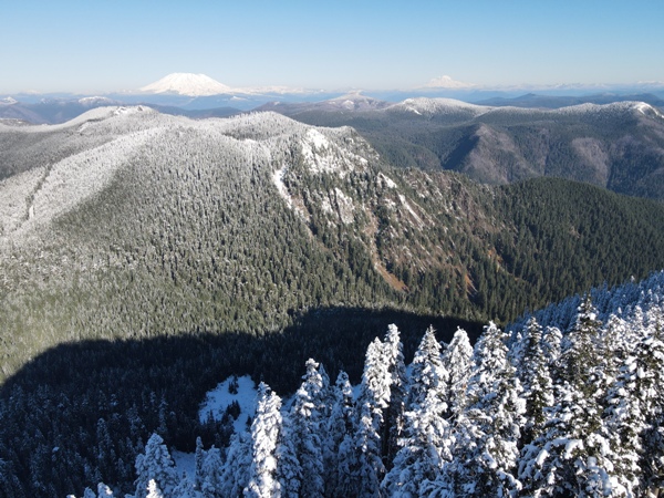
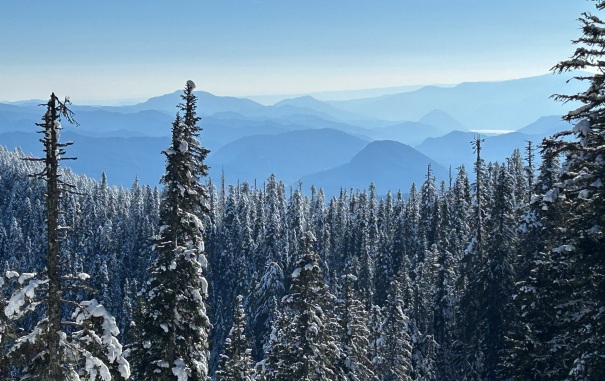
View to St. Helens and Rainier (drone shot from above summit of Soda Peaks)
Looking west down the long Canyon Creek (drone)
