Tyee Mountain Lookout
WillhiteWeb.com
One of the mighty ridgelines of the Entiat River Valley is Tyee Mountain Ridge. At one end of this long ridgeline full of peaks and saddles, is the Tyee Mountain Lookout. With a rough deteriorating 4WD road climbing to the 6,600 foot summit, the lookout gets a fair amount of visitors. The lookout was constructed during 1931, replaced in the 1950s, and barely survived during the summer of 1994 when the lookout nearly burned in the Tyee Creek Fire. In 2013 news came that the Tyee Lookout can not be used, even by volunteers, because the lightning protection system is not up to code. With no maintenance on the road, its bound to become increasingly difficult to reach this summit by most vehicles.
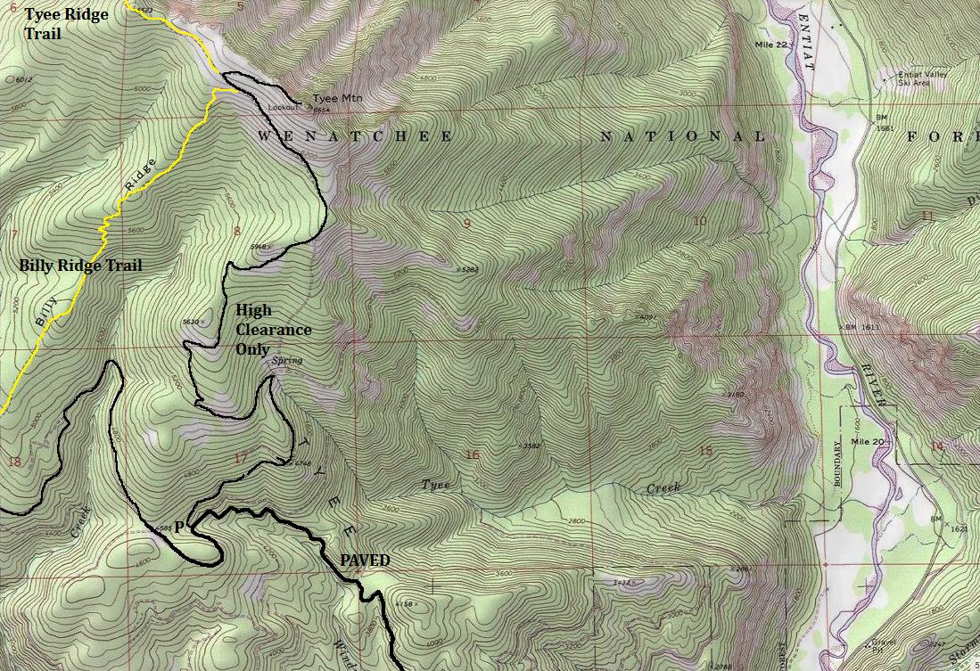
The lookout is accessed by 4WD High Clearance. If you don't have this, the road can be walked 4.2 miles from the last pavement. A few trail options exist but would be more elevation gain. From Entiat, take the Entiat River Road 9.8 miles to Ardenvoir. Turn left on the Mad River Road, following it for 14.2 miles to a split. Park here if you have a standard vehicle. To continue, it is Forest Road 5713, a rough, rocky, rutted and generly unpleasant road for 4.2 miles to the summit of Tyee Mountain.
Access:
Lookout Elevation: 6,654 feet
Hiking Distance: Drive-up or 4.2 miles
Elevation Gain: 150 feet from the gate
Road Access: High Clearance/4WD
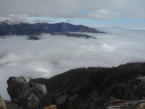
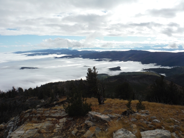
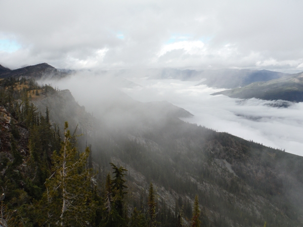
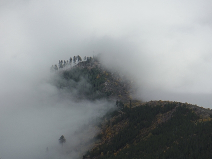
Looking north up the Entiat Valley
South end of the Chelan Mountains
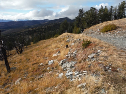
Tyee Ridge
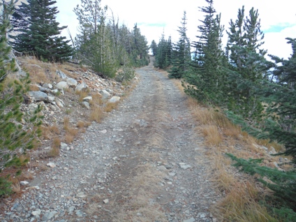
Final section of road on the ridge
Looking SE as the Entiat Mountains push out toward the Columbia River
Road up to the lookout parking area
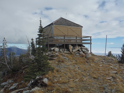
Tyee Mountain Lookout
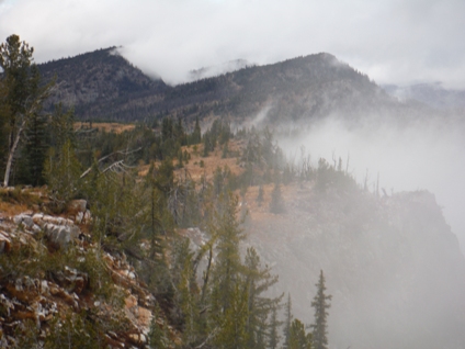
Tropical looking
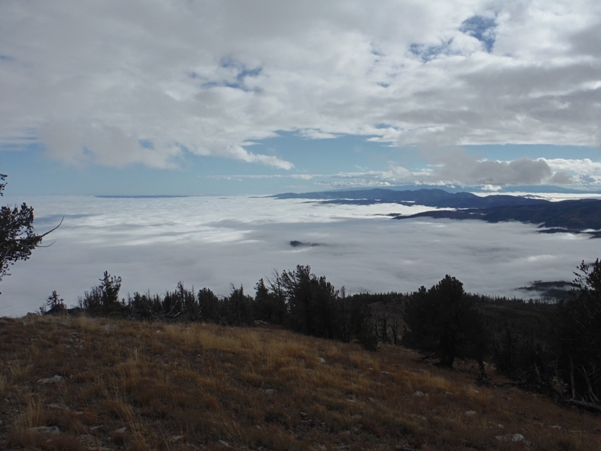
Low clouds
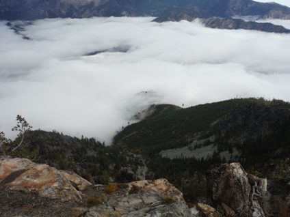
Sea of clouds
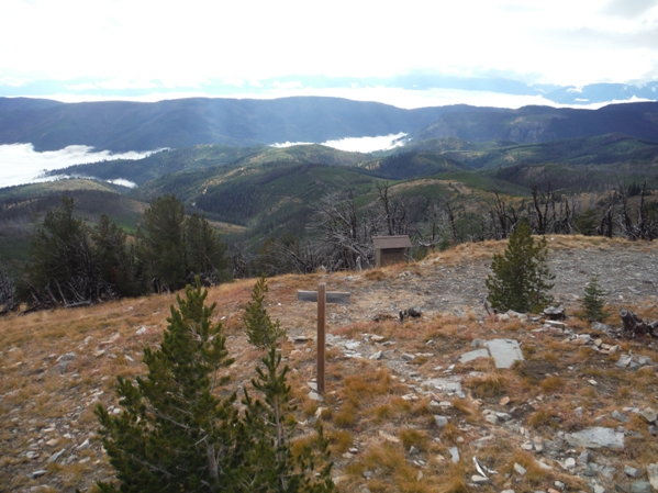
The Outhouse and view toward Chumstick Mountain
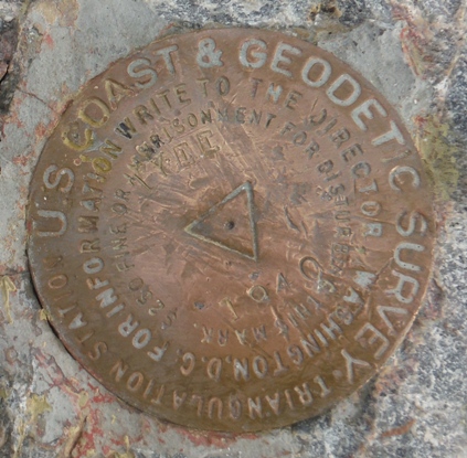
Summit Benchmark
In 1931, the lookout was constructed.
In 1934, panoramic photos were taken at 19 feet above ground level (15 feet on roof, plus 4-foot stand)
In the 1950s the lookout was replaced.
In 1970, a small but dangerous 300-acre Mott Creek fire threatened the Tyee Lookout Station. The observer from the station was evacuated.
In 1994, the Tyee Creek Fire threatened the lookout.
In 2013 news came that the Tyee Lookout could not be used, even by volunteers, because the lightning protection system is not up to code.
History:


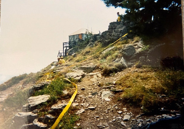
Defending the lookout during the 1994 Tyee Creek Fire
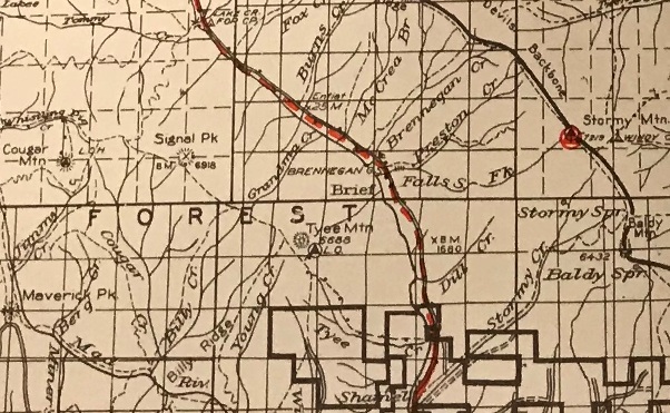
1938 Lake Chelan National Forest Map
Looking Southwest 1934
Looking North 1934
Looking Southeast 1934


