WillhiteWeb.com
Carne Mountain
Thanks to an old lookout station, a nice trail leads hikers to a high peak in the Entiat Mountains. Carne Mountain is just south of some of the big boy mountains of Washington. Enjoy views of Maude, 7 Finger Jack, Dumbell, Chawawa, Fortress, Buck, Clark and Glacier Peaks.
Access:
Distance: 4 miles
Summit Elevation: 7,085 feet
Elevation Gain: 3,600 feet
Access: Rough gravel but accessable by all
Take U.S. 2 to Coles Corner. Follow Highway 207 north for 3.8 miles. Turn right on the Chiwawa Loop Road. Follow for a few miles looking for a signed left turn onto the Chiwawa River Road (FR 62). Follow it for 22 miles until a final right turn on FR 6211, the Phelps Creek Road. It goes 2.5 miles to a parking area at the end.
Route:
Hike the Phelps Creek Trail for 5 minutes to a signed trail split. Turn right up the hill onto the Carne Mountain Trail. The trail first switchbacks up through forests, then an open slope before it eventually reaches Carne Basin at 6100 feet. In the basin are several different camping spots, all with nice views of the basin. A bit further, the trail splits again. Going right will take you south over a saddle toward Old Gib Mountain. Go left as it climbs to the south ridge of Carne. From there, the views open and it is a enjoyable stroll up to the summit.
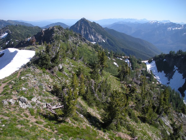
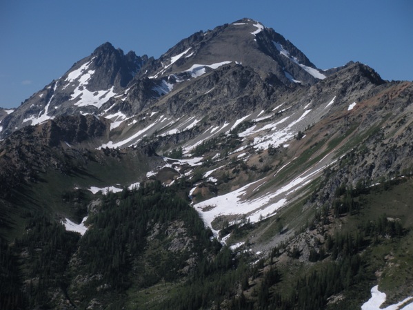
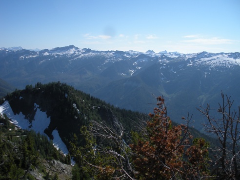
Looking south to Old Gib Mountain
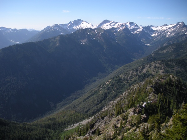
Phelps Creek with Fortress and Chiwawa Mountains in center
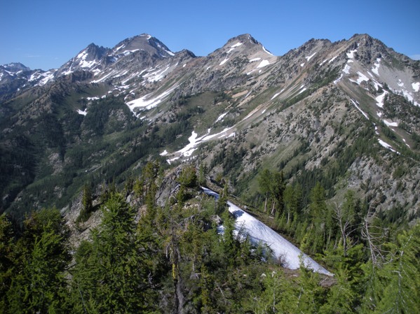
7 Finger Jack, Mount Maude and Ice Box Peak
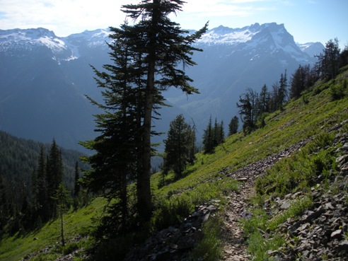
On the trail up Carne with Buck Mountain in distance
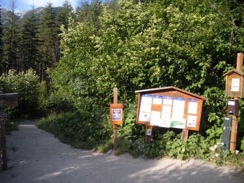
Phelps Creek trailhead
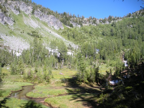
Carne Basin
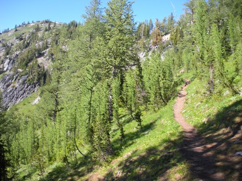
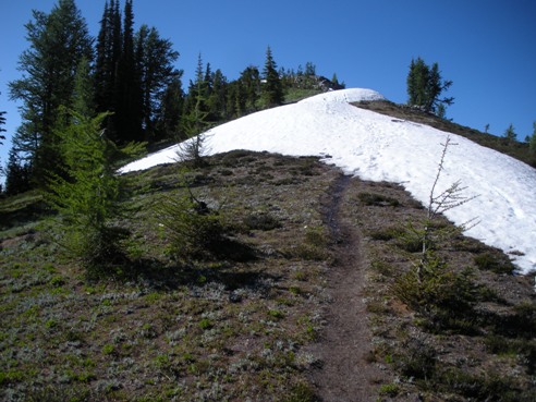
Carne Mountain from the trail as it nears the ridgeline
Carne Mountain trail near the summit
7 Finger Jack on left with Mount Maude in center
Looking southwest from the summit
Lookout History:
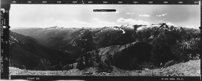
A lookout started observing here around 1915 with a log cabin. The log cabin was likely below in the meadows while the lookout man was stationed on the point during the day looking for fires. This was fairly common the early days of lookouts. The observation point observed from was point 6991 just south of the summit. The panoramic photos were shot on August 20, 1934 from point 6991. At that time, no structures existed on this summit. Sometime shortly after 1934, an L-5 cab was placed. The standard remnants can be found on this lower summit, rusty nails, glass and foundation. The cab was destroyed in the 1960's.
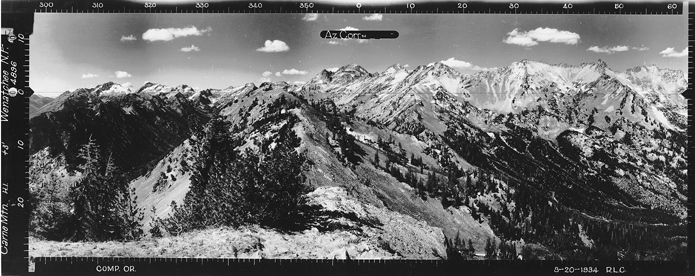
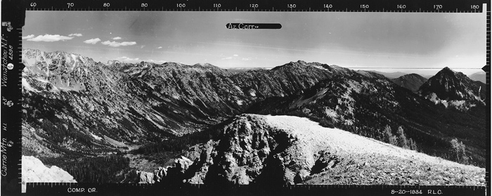
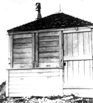
Carne Lookout 1944
Looking North 8-20-1934
Looking Southeast 8-20-1934
Looking Southwest 8-20-1934
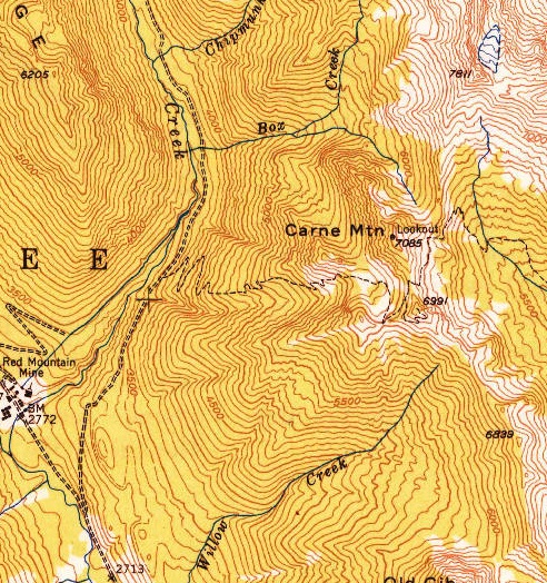
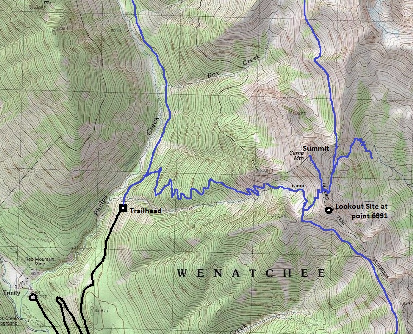
1949 USGS map shows the trail up to point 6991 but labels the lookout at the 7085 summit. Several different maps did this leading to confusion of the location years later.


