Stampede Pass Lookout Site
WillhiteWeb.com
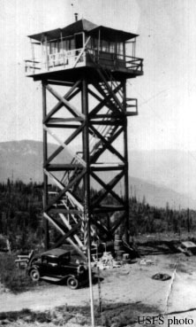
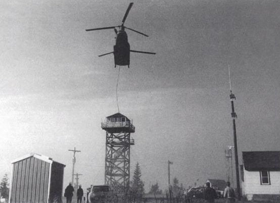
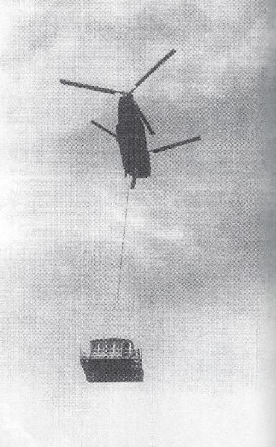
In 1934, the Stampede Lookout was built, a 40 foot wood tower with L-4 cab. It had views of the Green River Valley to the west and the Keechelus Valley to the east. Stampede Pass is known for its NOAA weather station and the lookout was right next to it. The site is actually on a small knoll south of the pass, accessible by road, or you can hike the PCT from the pass. When plans came to destroy the forty foot timber L-4 tower, North Bend ranger Ken White got it airlifted by helicopter to Camp Waskowitz conservation camp as an exhibit for the thousands of school children who climb up each year to learn about the history of fire lookouts. The military called it a training exercise and in two parts, carried the tower 20 miles from the pass to North Bend.
In 1934 panoramic photos taken at 40 feet.
In 1942, the site was used by the Aircraft Warning Service. A ground cabin was built because the tall tower was too cold and loud in the wind. It was activated on August 14 1942 and deactivated on September 15, 1943.
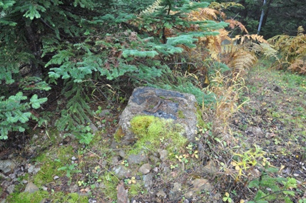
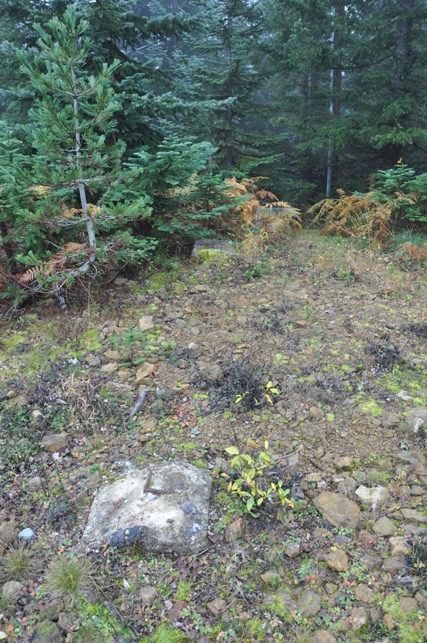
In 2014, I noticed at least 2 of the concrete footings still remain on site.
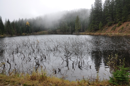
To get to Stampede Pass lookout site, take Exit 62 off Interstate 90 and head south approximately 5 miles to Stampede Pass (first mile is paved). Once you reach the summit, proceed down the other side a tenth-mile and turn left. You will drive by Lizard Lake. Just past the lake, make a sharp left turn and follow the road up to a Y. Turn right, soon passing underneath some power lines. At the next Y, make a left and follow the road to the communication site.
Access
Distance: Drive-up or hike the PCT from Stampede Pass
Elevation: 3,963 feet
Road Access: Most of way on good gravel, potholes & ruts near end
A source says there was also a 20' L-4 tower 1 mile to the north of the main lookout for a time. (email me if you know where)
Note
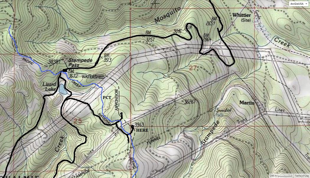
Black: Roads Blue: Trail
Ken White photo of the lookout being moved
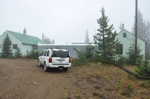
Drive-up location
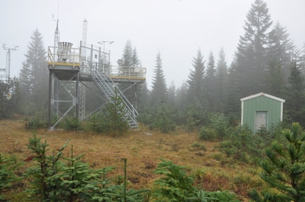
NOAA weather station
The access road passing along the shoreline of Lizard Lake
Foundation blocks on the summit
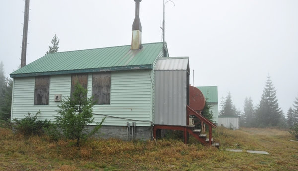
Buildings at Stampede Pass communication site. AWS building......should look into that.


Looking Southwest
Looking North

Looking Southeast
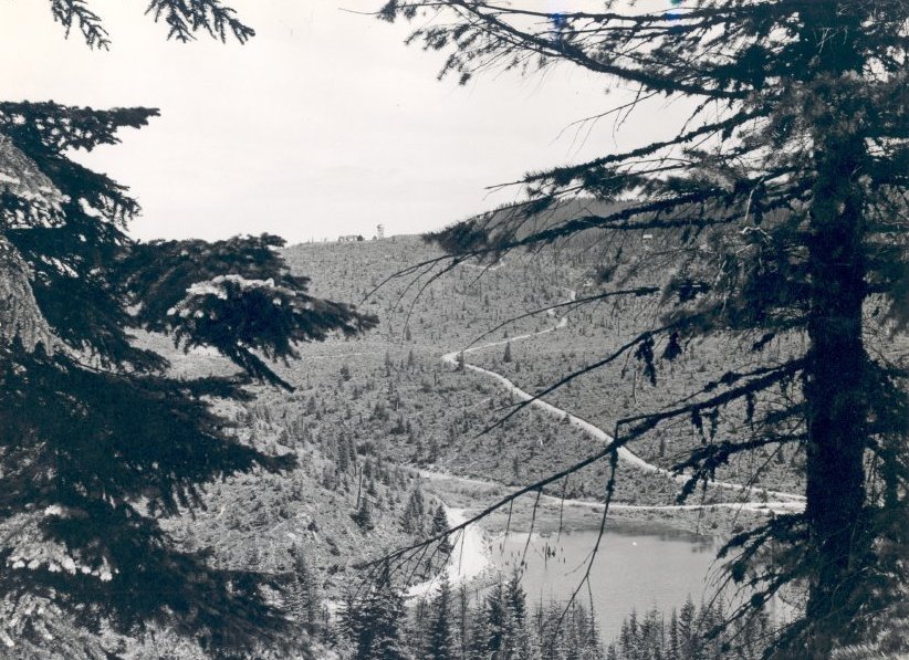
Road and lookout site in 1947, photo by Henry A. Hansmeier. Fire burned area in 1910, slow natural reproduction in area.
Ken White photo of the lookout being moved
Book Title: Lookout Tower
Catalog Number 2011.022
Author: Ruth F. Kingsbury
Published Date: 1957
Physical Description: Paper Cover 5.75 x 8x5 254 pages
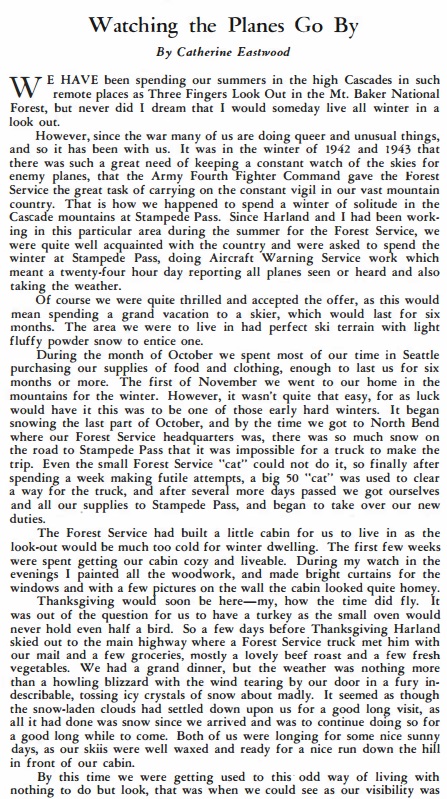

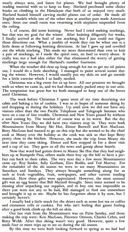
From 1944 Mountaineer Publication
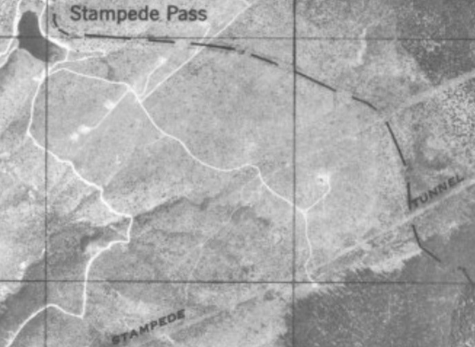
Aerial view of Stampede Pass area in the 1940s. Lookout is on the right.
Some AWS Memos
October 7, 1943
September 9, 1942
January 20, 1943 AWS inspector Lloyd E. Brown to James Frankland
August 5, 1942
August 20, 1942
August 20, 1942
September 2, 1942: Request to build a 18 x 24 foot building for AWS ground cabin


