Hex Mountain
Elevation: 5,034 feet
Elevation Gain: 900 feet
Distance: 7.5 miles RT
Access: Paved (winter time)
Washington Hiking
Hex is a great winter trip with some nice views and virtually no avalanche hazards. More people hike in winter and spring than during the summer, when the trailhead is much higher to reach.
Access
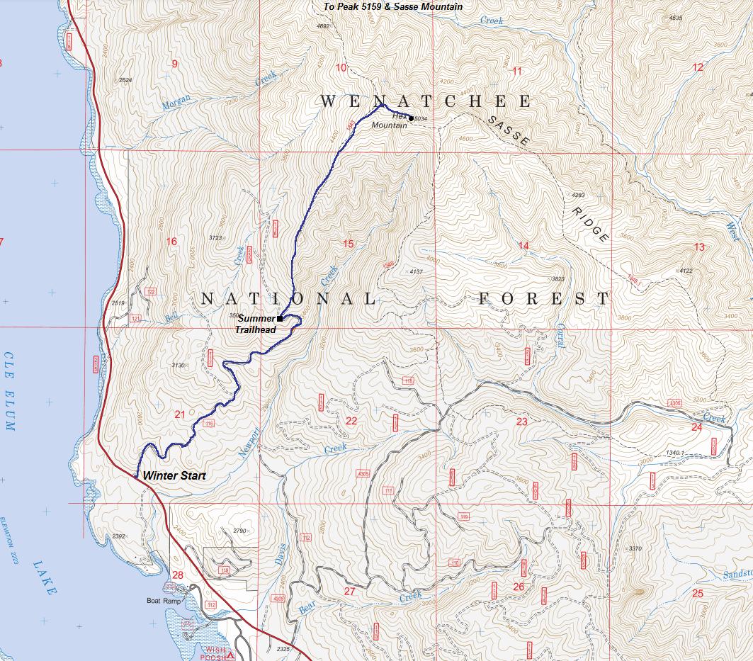
Finding the parking spot might be the hardest spot. From the junction of Highway 903 just before Roslyn it is exactly 8.5 miles to the parking spot. A sno-park permit is not required so the parking is just a wide spot plowed on the side of the road that fits several cars. Parking is on the left side of the road, before the trailhead on the right side of the road. Between the parking and the trailhead is a road on the left called "Timber Cove", so park before it. The trailhead road will go uphill and has a gate 50 yards up (if visible). The location is also just before Newport Creek.
Route
Walk down the highway to the road turning uphill to the right. As you go, there are a number of new roads with many real estate lots for sale. The roads could be paved any year so I'm going to keep this vague. Follow the map trying to find the way to the summer trailhead. Once there, you should be able to get your way up the ridge.
Pictures
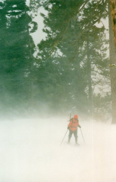
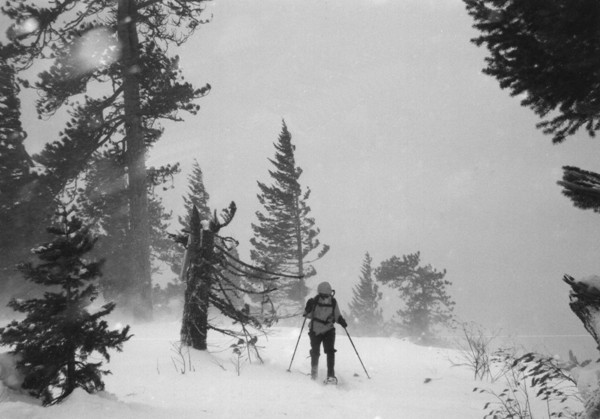
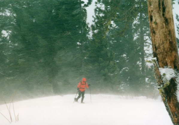
I only took 3 pictures below due to weather (the stormy ones). The rest were taken from NWHikers.net.
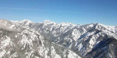

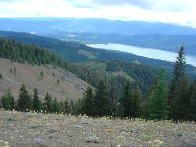
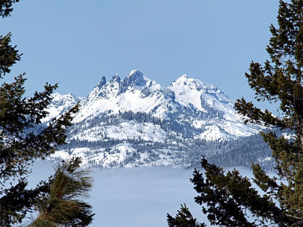
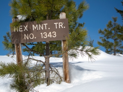
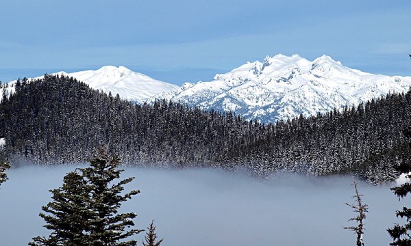
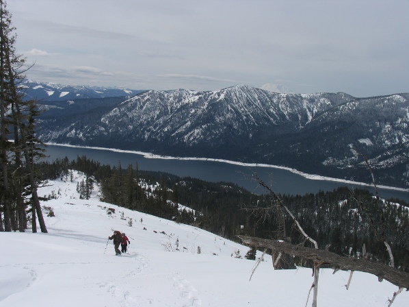
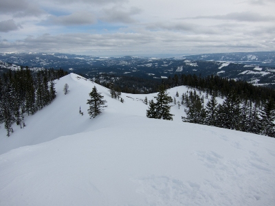
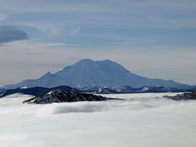
Zoom in of Mt. Rainier
Mount Daniel
Summit view
Summer views
Alpine Lake Wilderness and Mt. Stuart


