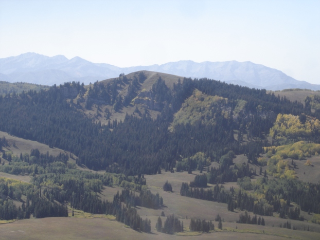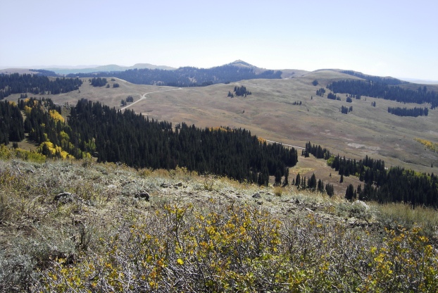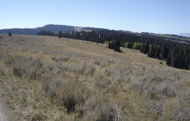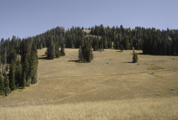
Heber Mountain Tabby Mountain Wolf Creek Peak route Wolf Creek Peak Benchmark Wolf Creek Peak Wolf Creek Peak top Distant Uinta Mountains
Distance: Drive ups or under a half mile
Elevation Gain: Drive-ups and 120 feet for Wolf Creek Peak
Summit Elevation: 10,207, 10,140 and 9,949 feet
Access rating: Level 3
Heber Mountain and the Duchesne Ridge area is a perfect driving tour with easy peaks to hike and drive. The views are outstanding since these ridges are the highest points around. Even with a 2WD vehicle, you can get close to these summits to allow nice easy hiking to the tops. Below I will describe the route as I did with 3 summits, only Wolf Creek Peak requires hiking.

Heber Mountain, Duchesne Ridge and Wolf Creek Peak

www.WillhiteWeb.com: Your online resource for hiking, climbing and travel
Heber Mountain Access:
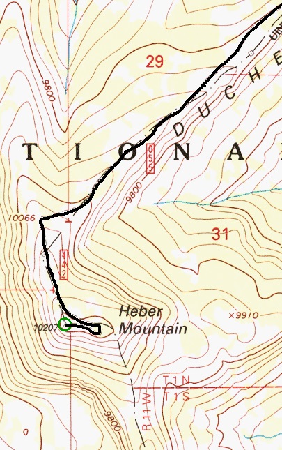
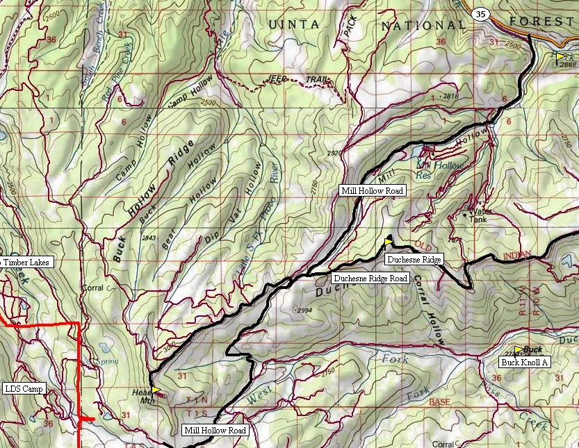
Take Utah Hwy 35 east of the Francis-Kamas area to the Mill Hollow turnoff (Forest Road #054) and follow this road past the reservoir and campground. At the pass, just past the Duchesne Ridge turn-off, is a spur road cutting to the right reaching the ridge just above you. Once on the ridge, turn left and drive approximately 3 miles to the summit. Most cars should be able to make it to the last 2 miles or so. After that, high clearance is probably needed. Right before the summit is a big dip that must be driven over but the walk up from there is trivial. There are two summits, drove up both. The views NE are limited but can be seen on the way back down.
For Duchesne Ridge
Go back to the pass with the turn-off to signed Duchesne Ridge. Follow this road around 1.6 miles until you are just under the broad summit. Park off the road or look for a short spur road that looks like it goes to the top. I got fairly close but still had to walk a short distance over scrub bushes to the highest point, marked by a benchmark (see picture).
For Wolf Creek Peak
Continue on the Duchesne Ridge road east for several miles passing Yellow Lake and the Heart Lake turn-off. Eventually you will enter forests as you traverse below the summit on the north side. Once you traverse to the east ridge of the peak, the road breaks back onto the main ridgeline and out of the forest. This is where I parked. To hike up, we walked back on the road a bit until we found the easiest way up through the forest. Most of the forest floor was easy walking. Near the summit, the peak breaks out of the trees and a rocky knob is there for the easy but alpine looking summit. Views are good but the same as from the roads in the area. To quickly get back to the pavement and Highway 35, backtrack about a mile to a main turn dropping down to Wolf Creek Summit and Campground. (Shown on bottom map)
Currant Creek Peak Bald Knoll Heber City Duchesne Ridge
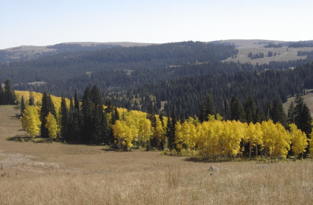
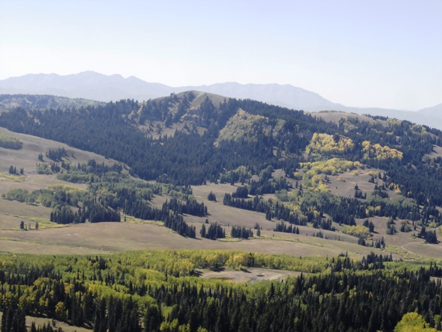
View east over the Duchesne Ridge area to Wolf Creek Peak (much lower)
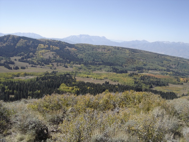
West from Heber Mountain to Bald Knoll and the Wasatch back
View south toward Currant Creek Peak
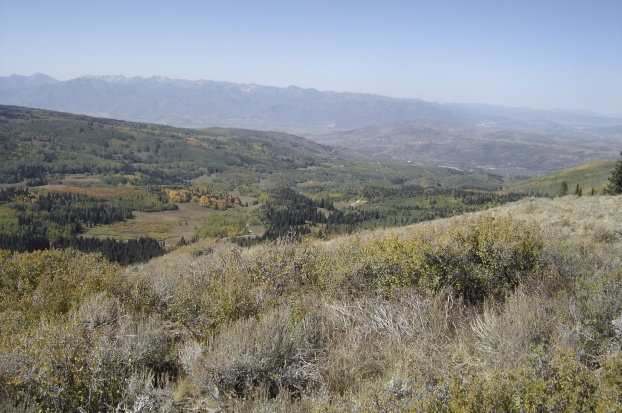
View toward Heber City from Heber Mountain
Unita Mountains Duchesne Ridge Duchesne Ridge Duchesne Ridge Wolf Creek Peak Red Creek Mountain
Looking west from Duchesne Ridge
Hiking from the car to the top of Duchesne Ridge with Unita Mountains in distance
Views from Duchesne Ridge
Finding the benchmark on Duchesne Ridge
View SE to Tabby Mountain from Wolf Creek Peak
Hiking up Wolf Creek Peak
From parking spot for Wolf Creek Peak
Red Creek Mountain to the south from Wolf Creek Peak
Finding the Wolf Creek Peak Benchmark
Looking east from Wolf Creek Peak
Kids on top of Wolf Creek Peak
Duchesne Ridge map Mill Hollow Map Wolf Creek Map
View north while driving down from Duchesne Ridge to Wolf Creek Summit on Highway 35
For an overview map with these 3 peaks on it, see the Currant Creek Peak Trip Report
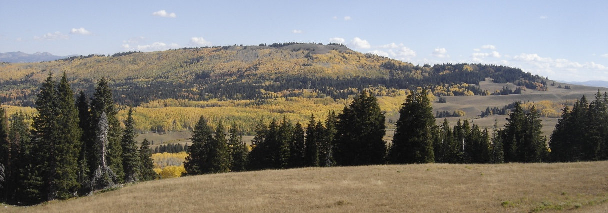
Heber Mountain from Bald Knoll
Utah Climbing
Home
Heber City Group
Utah Kids Hikes