

Mount Josephine Lookout Site
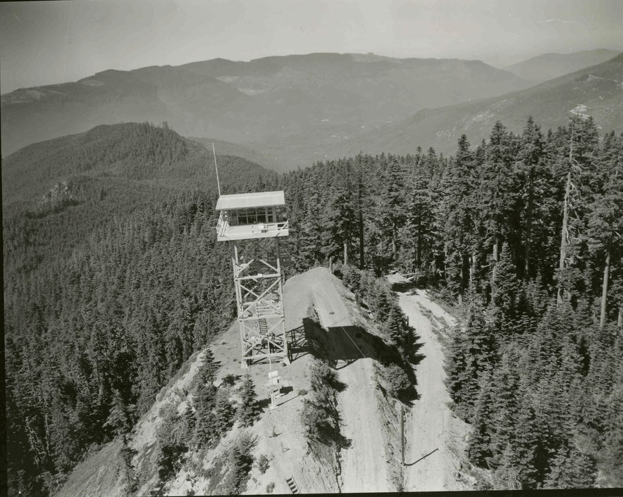
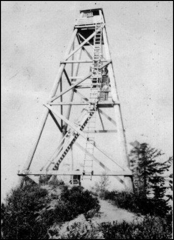
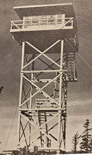
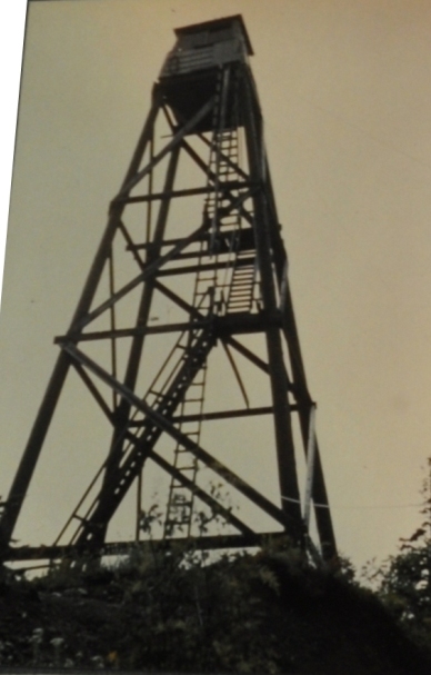
In 1933, the Washington Forest Fire Association cooperated with the Civilian Conservation Corps in the erection of a lookout tower on Mt Josephine. The pole tower was 55 feet tall with an 8x8 foot cab on top. On the ground was a 14x18 foot cabin for living quarters.
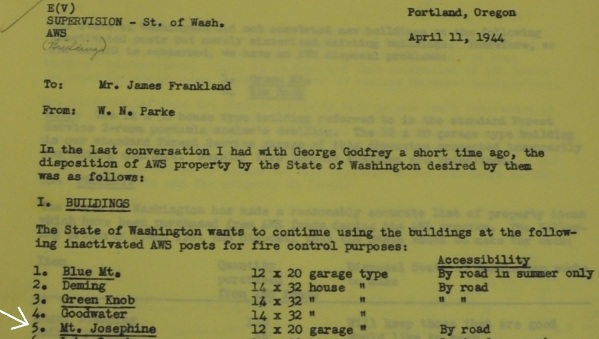
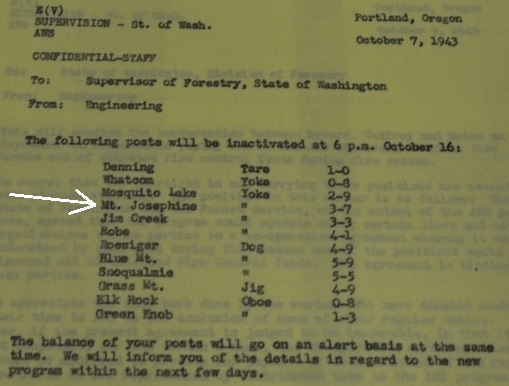
In 1942 the tower and site was used by the Aircraft Warning Service to spot aircraft. Activated, March 8, 1942, deactivated, October 16, 1943. A 12x20 foot garage was built with AWS funds. During this time in 1942 a road reached within a half mile of the lookout.
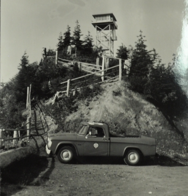
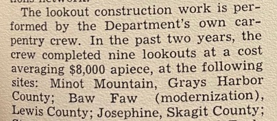
In 1958, the DNR replaced the original tower, building a 40 foot wooden tower with live-in cab. It was built by the departmentís carpentry crew for roughly $8,000. It was destroyed in 1981.
WillhiteWeb.com
Lookout (and summit) Elevation: 3,957 feet
Hiking distance: Probably 2.5 miles
Elevation Gain: Depends on if gate is open or closed
Access: Any vehicle can get pretty high up the mountain on DNR
Access:
The entire south side of Mt. Josephine is the Harry Osborne State Forest. Open accessible roads crisscross this south side of Mt. Josephine. The catch is that the backside of the mountain is private timberlands and the final road to the summit is on the backside. Access is usually blocked at the boundary so finding a road to get as high as possible is best. Then walk or bike. As a twist, the entire 2.5 mile road hike on the backside is part of the Pacific Northwest Trail.
Route:
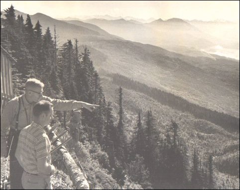
This picture was taken in 1960 from the Mount Josephine Lookout. Harry Osborne is pointing and that is possibly Dale Thompson beside him. They are looking over the Harry Osborne State Forest.
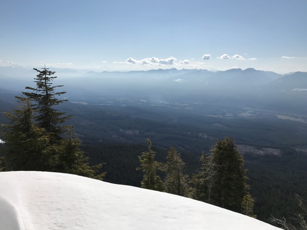
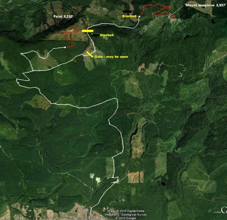
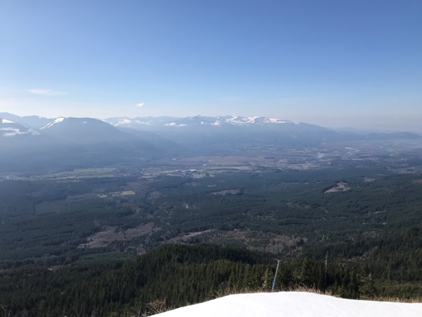
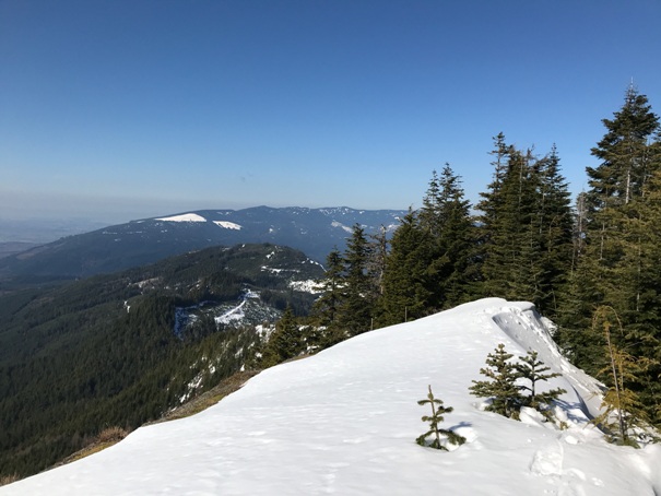
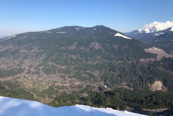
Since forest roads change so often, Iím just going to say you need to double check using aerial photos. The maps I am providing were good for access in 2020. The last few miles are questionable by vehicle. The snow covered up what I believe were impassable blockades at the property boundary and further up the mountain on the private timberlands. Either way, the hike up from as high as you can drive should still be fairly straight forward and enjoyable. I saw no signs saying anything negative. Lucky, with a cliff at the summit, there should be great views in most directions. The final few feet from the road end is through some trees up to the summit.
After working in the logging industry and the Washington Forest Fire Association for many years, Harry was employed by the Forest Fire Association full time until 1963 when he retired. A park we see every time we pass through Sedro Woolley is named after Henry Osborne.
AWS doc shows Harry Osborne as the Warden in 1943, also the 2 AWS observers.
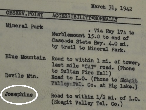



Accessibility in 1942 (FYI: Mineral Park is Hidden Lake Lookout)
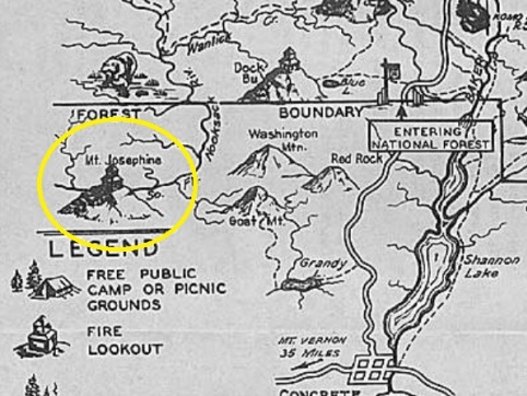
1935 Recreation Map
Josephine Lookout in 1943
1957
Boyd Church Photo
Mt. Josephine from Hamelton
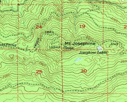
1952 USGS, 1970 update
Taken at parking lot same location as image to the left
Taken in 1970 by Dale Thompson
From a listing of State and Private Lookouts in 1943 shows the location, improvements, communications and transportation of the site
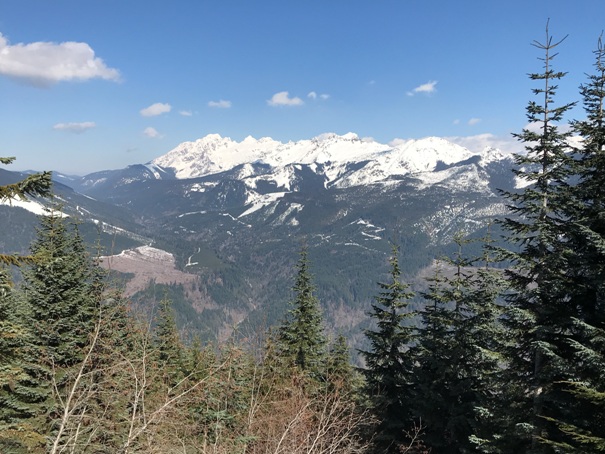
Looking SW
Looking West
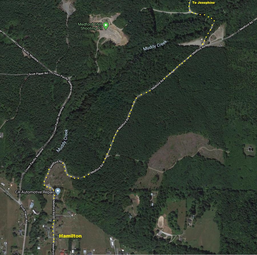
In Hamilton, take the Medford Road, not the Crown Pacific Mainline
The DNR roads I took.
AWS built a garage
Inactivated at 6 p.m. October 16, 1943
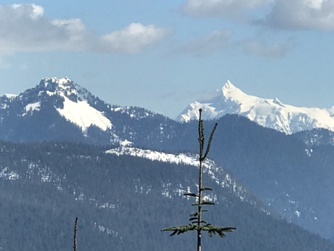
A distant Loomis Mountain and Mt. Shuksan
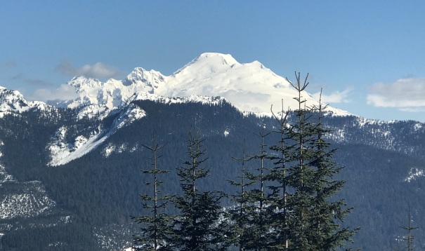
Mt. Baker
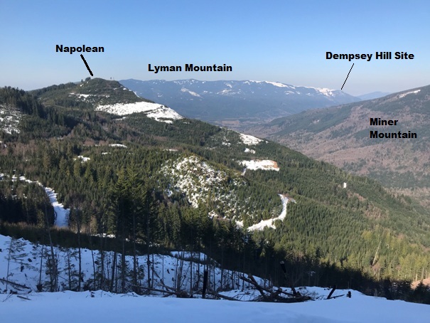
Miner Mountain
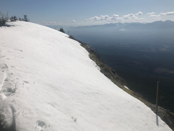
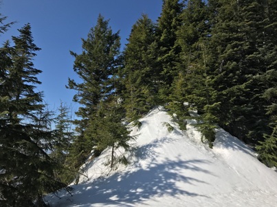
Lookout site covered in snow
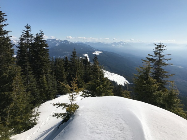
Twin Sisters Mountain views in route near top
Views in route to the West
Looking East from the summit
Looking SE

Upper gate may or may not be open.
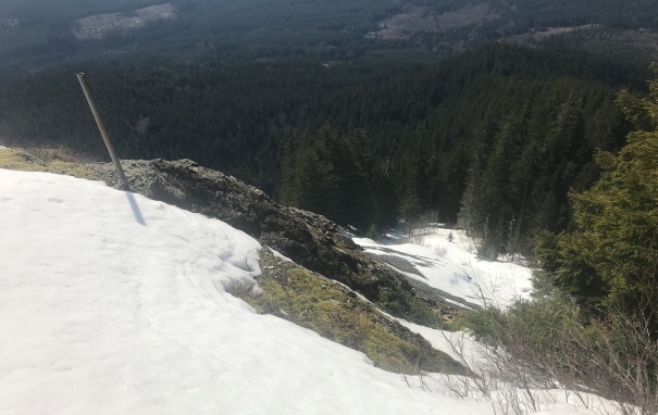
There is probably a lot of debres down there
