Green Knob Lookout Site
WillhiteWeb.com
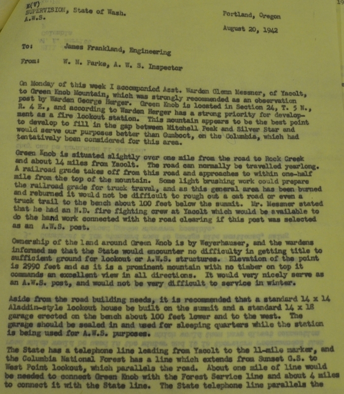
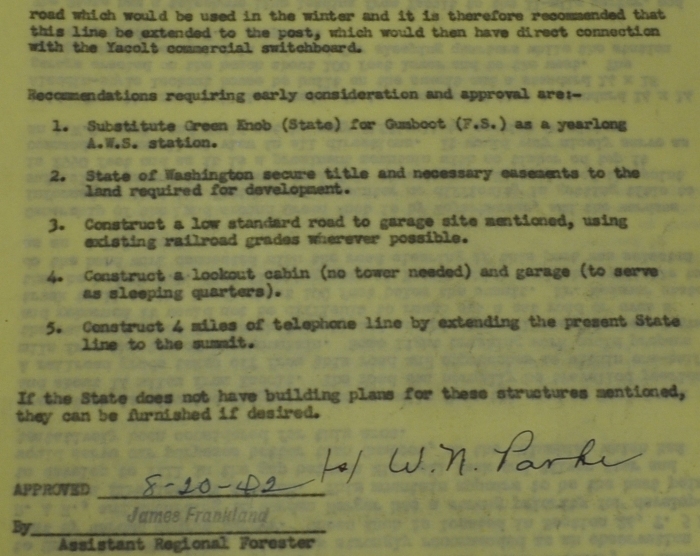
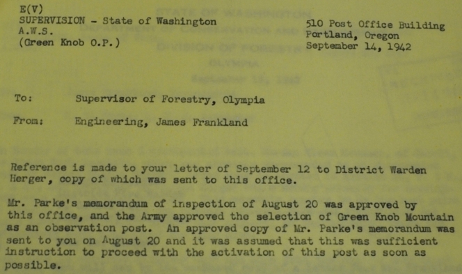
On August 20, 1942, W.N. Parke (AWS Inspector) accompanied Assistant Warden Glenn Messner (DNR) to Green Knob Mountain, which was strongly recommended as an AWS observation post by Warden George Herger (DNR). According to Warden Herger, Green Knob had a strong priority for future development as a fire lookout station. The mountain appeared to be the best point to develop to fill in a gap between Mitchell Peak and Silver Star and would serve AWS purposes better than Gumboot, which was being considered by the AWS. Green Knob was advantages because it could normally be travelled yearlong allowing service in winter. There was also a railroad grade that approached to within one-half mile from the top of the mountain. They felt it would not be difficult to rough out a cat road or even a truck trail to the bench about 100 feet below the summit. Ownership of the land around Green Knob was Weyerhaeuser and the wardens informed them that the State would encounter no difficulty in getting title to sufficient ground for the fire lookout/AWS structures. They described the elevation of the point as 2990 feet and as it is a prominent mountain with no timber on top that commands an excellent view in all directions. It was recommended that a standard 14 x 14 aladdin-style lookout house be built on the summit and a standard 14 x 18 garage erected on the bench about 100 feet lower and to the west. The garage would be sealed in and used for sleeping quarters while the station is being used for AWS purposes.
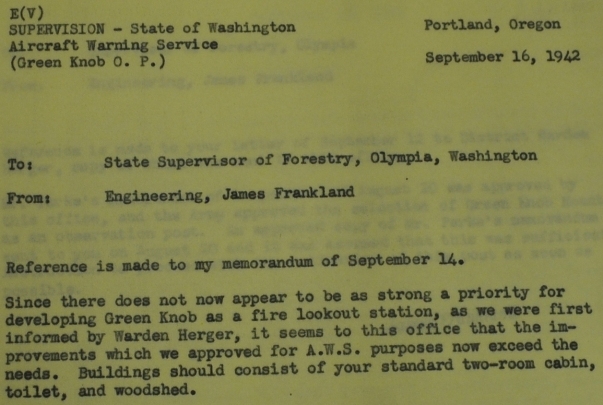
September 14, 1942: The memorandum of inspection of August 20 was approved by AWS headquarters, and the Army approved the selection of Green Knob Mountain as an observation post. Order was given to proceed with the activation of this post as soon as possible.
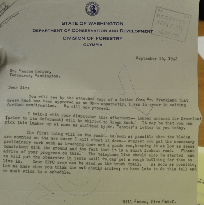
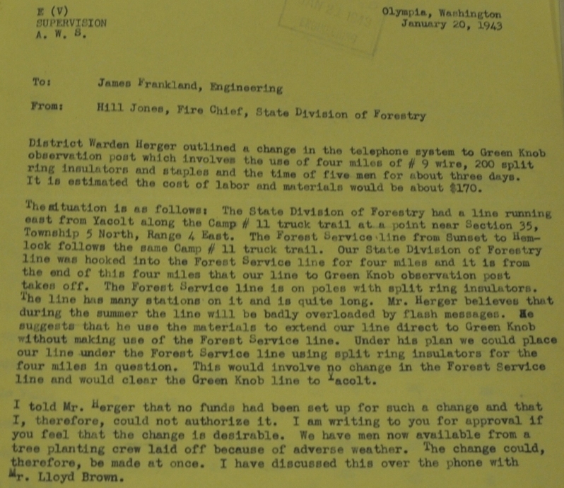
September 16, 1942: State Division of Forestry says it will now proceed. Lumber ordered for Greenleaf will be shifted to Green Knob. The letter discusses first priority of road construction and telephone line to the site. Observers will be put in tents until a rough building was built to live in. Hopes were to have everything done in the fall.
My Note: based on the documents, it seems the DNR did not follow through with the building of a fire lookout and the AWS paid for and built one of their standard 2 room cabins, a 14 x 32-foot portable cabin.
January 5, 1943 A.W.S. activated
March 12, 1943: Green Knob is in operation but lacks the siding which was not put on because of the wet weather.
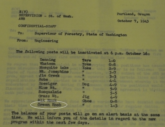
October 16, 1943: A.W.S Deactivated.
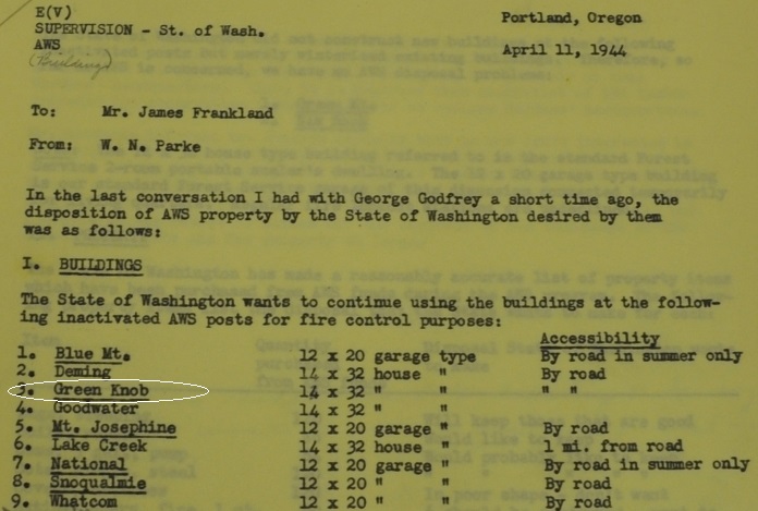
April 11, 1944: The State of Washington wants to continue using the building at Green Knob for fire control purposes.
In 1953 the USGS say there was a road to the summit, labeled Green Knob Lookout. They placed a benchmark in the center of the lookout tower in bedrock. There was also reference to a lookout tower and guy lines. This seems strange since it was a ground building in 1944. Possibly a new structure had been built. No images prior to 1960.
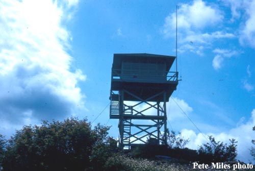
In 1960, the DNR carpentry crew built a 20-foot (or 40) wooden tower.
In 1969, an article in August said that Green Knob was one of five lookouts in the Battle Ground district to be discontinued and disposed of after being replaced by air patrol. And that plans were to move the tower to the DNR District Headquarters, having the tower shortened from 40 feet to 10 feet and the cab rebuilt as an interpretive center.
In 1971, the USGS visited the site and said that the previous lookout tower in survey notes was torn down in 1961 and a new one was built (1960). And that this current one was to be removed later in the year, in August. The second tower was positioned on top of the reference mark 2 benchmark.
The Lookout Inventory suggests the lookout was actually destroyed in 1974. No word on what happened with the plans to save it.
Elevation 2,964 feet
Hiking/Biking Distance: 8.5 miles one-way (non-motorized permit)
Elevation Gain: 2,700 feet
County: Clark County
Access: Paved
Green Knob Lookout
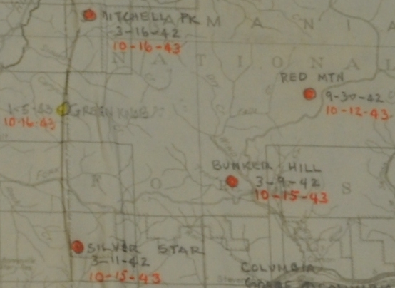
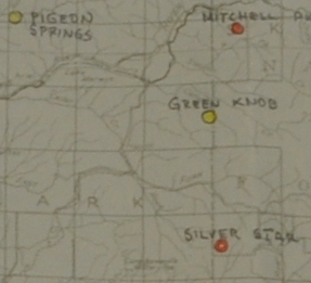




AWS map with dates February 5, 1943 to October 16, 1943
AWS map
March 12, 1943
Phone line to be retained for the State use.
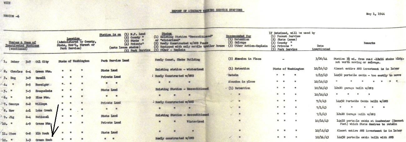
Green Knob State of Washington State Land Newly constructed with AWS Retention State of Washington 14x32 portable cabin built with AWS
Inactivated by AWS on October 16, 1943 at 6 p.m.
Access
Route
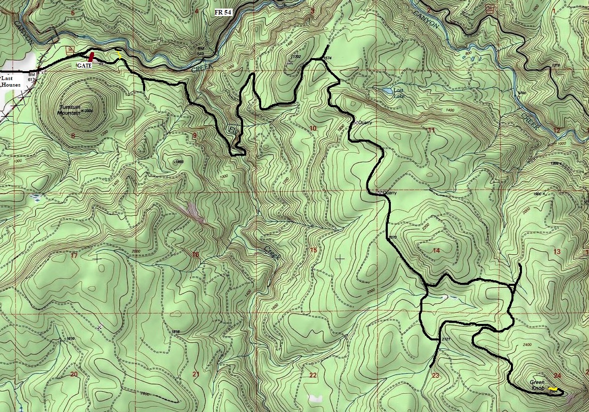
This is a Weyerhaeuser Permit area. There is only one firelookout site in this specific Yacolt permit area. From Chelatchie on Highway 503, turn at the store onto Healy Road. Follow Healy Road to the last houses where the road becomes Forest Road 54. The gated road is on the right within a half mile. For a less conspicuous parking spot, continue past the gate a quarter mile to a short spur on the right. Park here and take a motorcycle trail up to the gated road (see map).
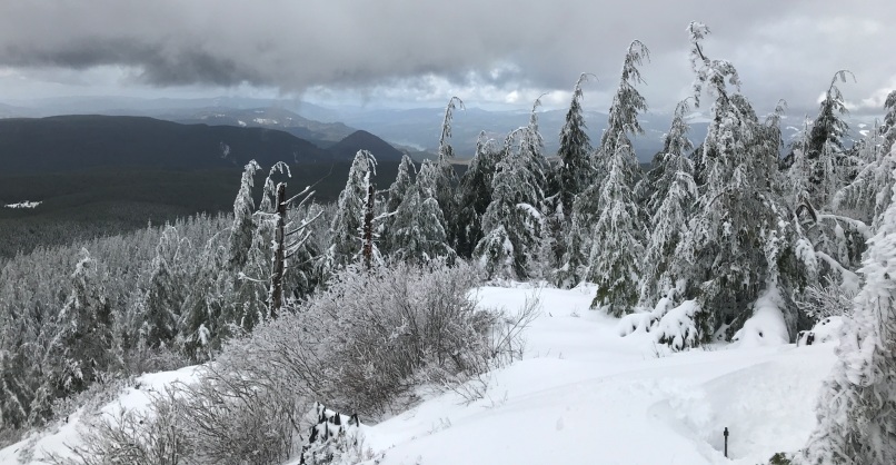
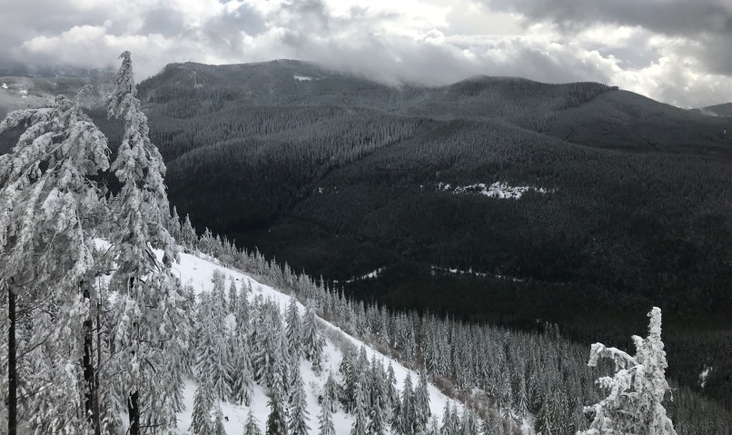
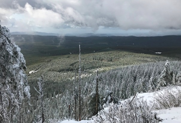
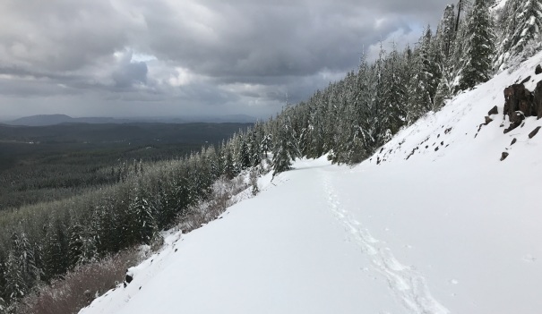
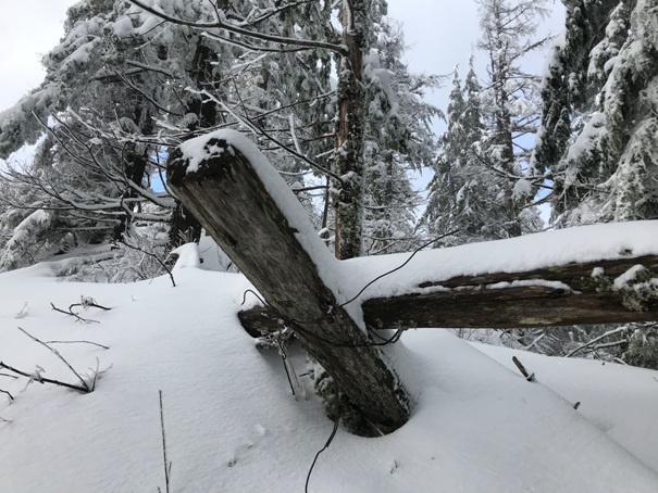
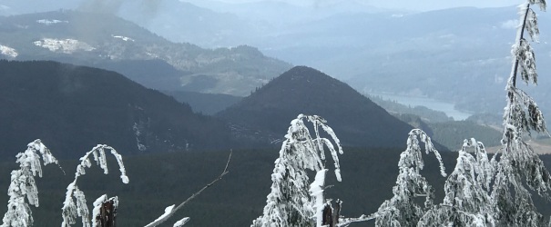
Roads will take you all the way to the final 200 feet. The forest has grown around the summit area but about 50 percent of the view is still there. The site has been somewhat preserved so it has retained some character. Without snow, there should be quite a bit to see.
Video
I have a video of my trip on my youtube channel.
Looking NW from the summit
Looking West from the summit
Looking South from the summit
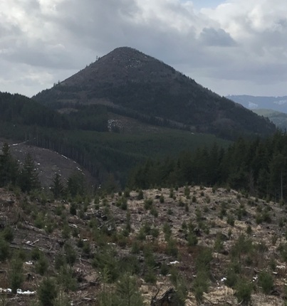
The last half mile up to the summit has viewpoints
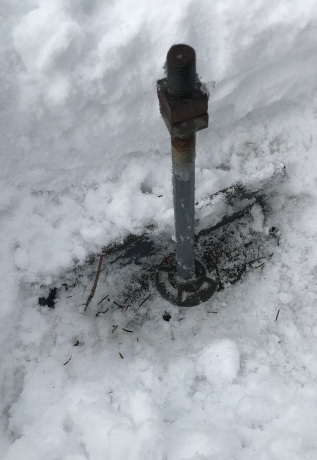
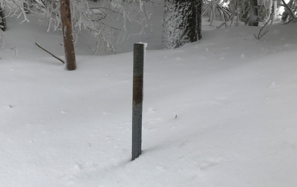
Lookout parts near the summit
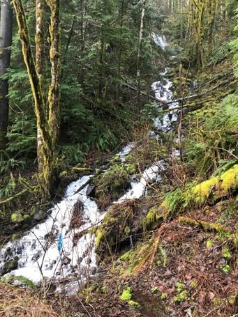
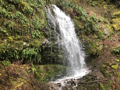
Waterfall along the road to Green Knob
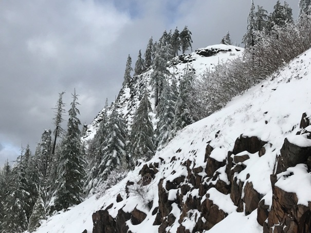
Road passes underneath the lookout site near the top
Looking down to Tumtum
Anchor bolts
View of Tumtum along the roadway
Waterfall along the road


