Mount Sneffels
WillhiteWeb.com
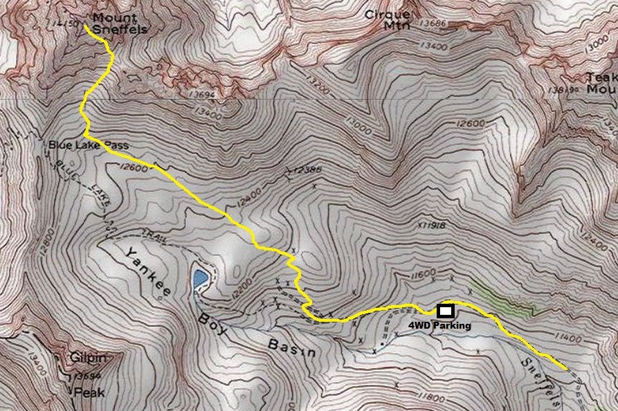
Distance: 2.5 miles
Elevation Gain: 2,700 feet
Summit Elevation: 14,150 feet
Access: 4WD or add extra 1.3 miles each way
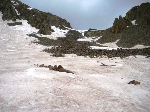
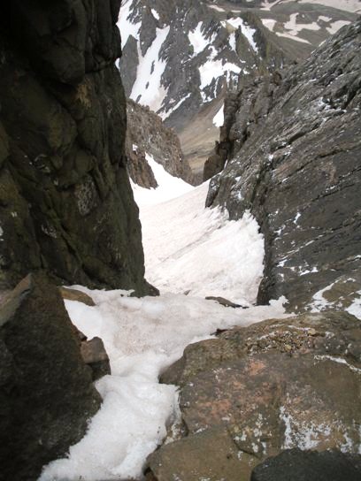
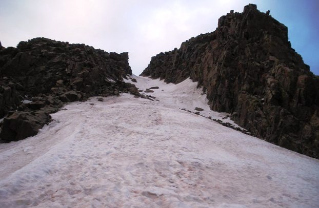
Mount Sneffels is a Colorado Fourteener, the Ouray County highpoint and a 3000+ prominence peak. It is also a chance to visit the famous Yankee Boy Basin, an amazing and historic high alpine zone accessible by vehicle. Because you can drive to well over 11,000 feet, this fourteener has no real low approach hike, the alpine climb begins at the car. Depending on your vehicle, you can climb as high as 12,400 feet. Most 4WD vehicles stop at 11,400. Regular cars at 10,700 feet, with an additional 1.3 miles of road hiking. Road,s then trails take you all the way into the first talus fields at 12,800, then a recent trail has been constructed up much of the talus field. Even without the trail, the rocks are not too bad. Larger rocks on the west side made travel pretty easy. At the top of the talus is a saddle where views north are now seen. From this point, an obvious couloir is to the west leads to the summit area. Without snow this would not be much trouble. With snow early in the morning after a cold streak, it was extremely solid, requiring crampons and careful stepping. Just before the top of the couloir is a class 3 notch (with a little exposure) that must be climbed. It is short, only 2 or 3 moves on solid rock holds but a snow bank at the top was not helping, nor the crampons on the feet. Once over this crux, it is a short scramble on summit rocks to the top. For me, it was another Colorado summit where hundreds of peaks could be seen and I could not name any. I saw several climbing groups on the way down, some with the required gear, others without. Hopefully they made it up before some ugly weather came up from the south. As I drove south over the Million-Dollar-Highway, it rained for hours, all of it heading toward Mount Sneffels.
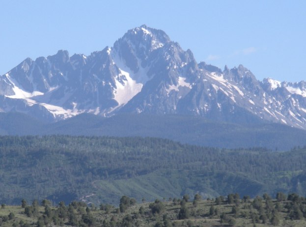
Mt. Sneffels from Ridgway to the north
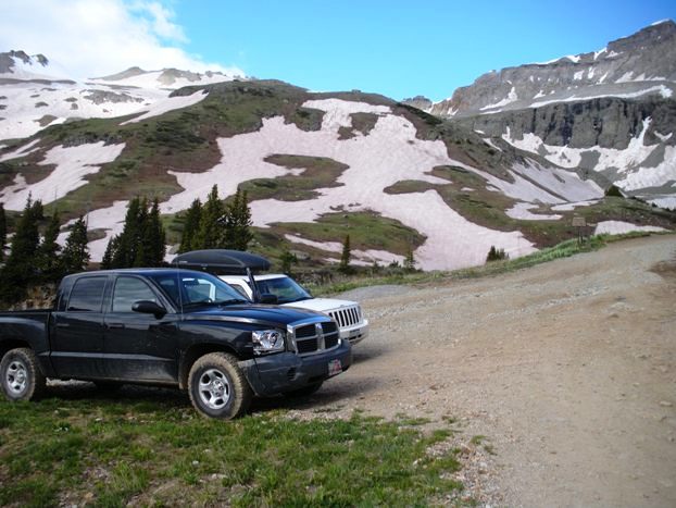
The 11,420 foot 4WD trailhead
Blue Lake Trailhead and trail
Stony Mountain from around Wrights Lake
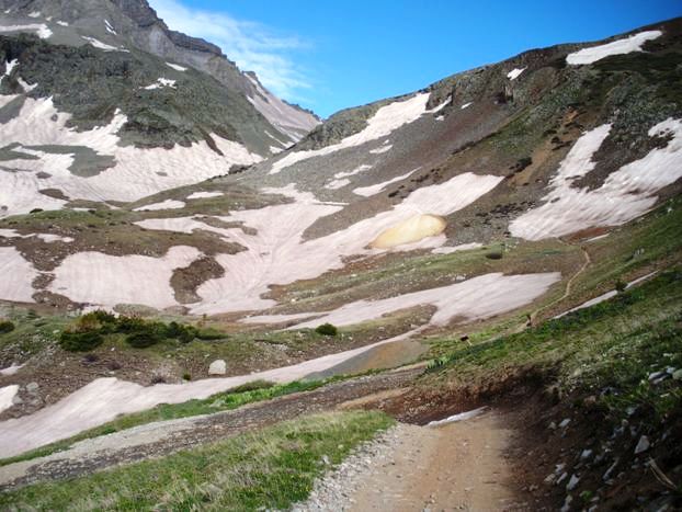
Gilpin Peak and Yankee Boy Basin, trail/road is on the right
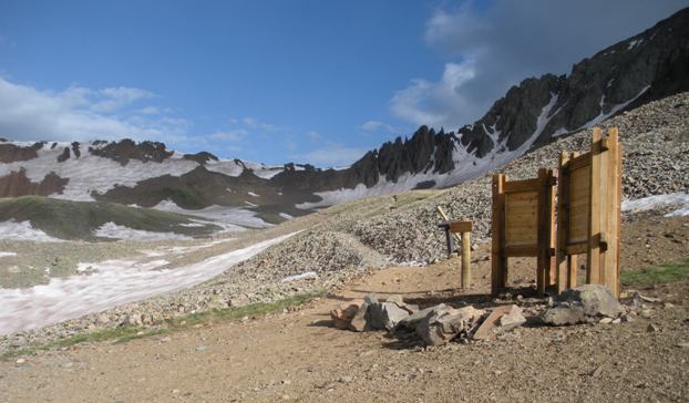
Highest trailhead at 12,400
Nearing 12,600 where the route becomes visible to the right
The scree col that takes you up much of the mountain
From the top of col looking up couloir that leads to the summit
Looking down the couloir from the notch
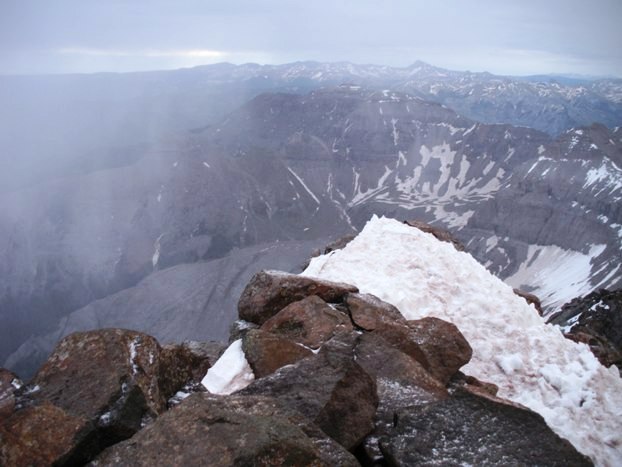
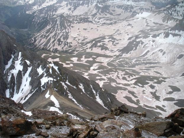
Looking down to Yankee Boy Basin from the summit
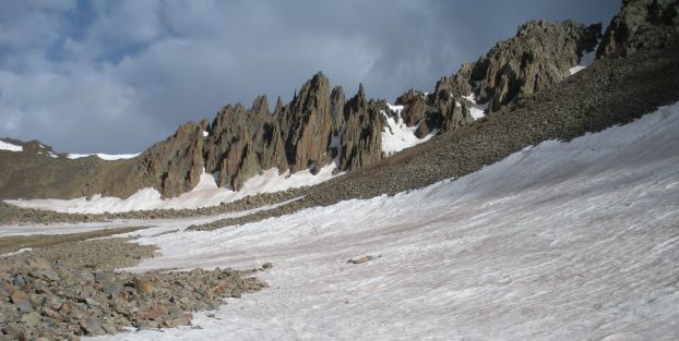
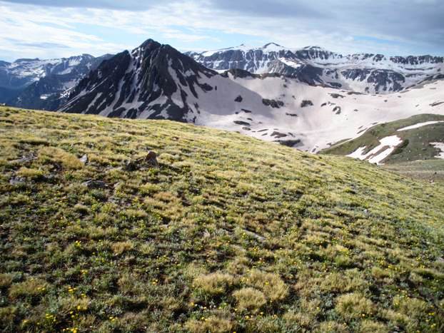
Views from the scree field
Looking south from the scree field at first light
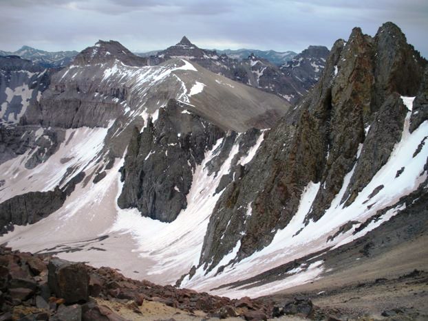
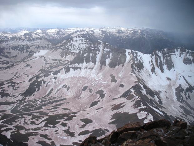
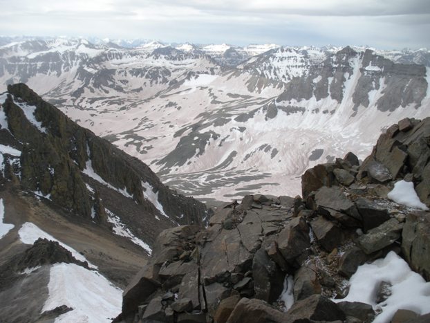
Views from the summit
Views from the summit

