Canyonlands National Park, Needles District
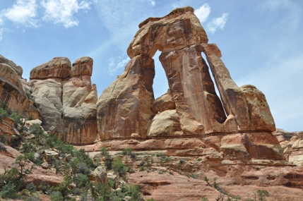
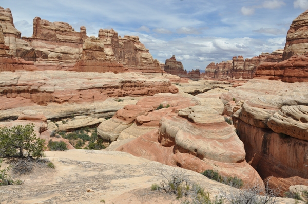
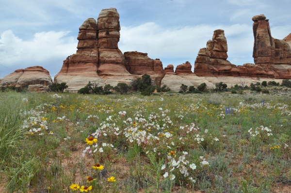
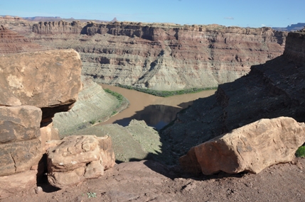
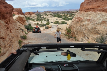
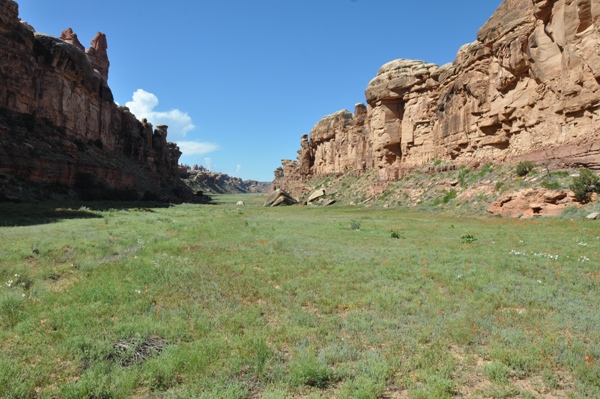
The Needles District is really set-up for those who are hiking or 4-wheel driving. Unless you have one full day in the Needles for these activities, it is probably best to go elsewhere. If you will never go far from your vehicle, head to the Island in the Sky District instead. The Needles is a startling landscape of sculptured rock spires, arches, canyons, grabens, and potholes. The dominant landforms are the Needles, rock pinnacles banded in red and white. Earth movements fractured the rock, and water and freezing and thawing eroded it into the jumbled terrain of today. Grassy meadows such as the 960 acre Chesler Park offer a contrast to the Needles bare rock, and arches add a touch of the unusual to the region. Like Arches National Park, the Needles District boasts fascinating collections of natural rock spans. Druid Arch in the upper part of Elephant Canyon stands more than 100 feet high. The Wooden Shoe Arch on the other hand, has just a small tunnel-like opening. Other arches are shaped like cater-pillar and wedding ring. Most of the arches lie hidden in backcountry canyons and are well-deserved rewards for those who make the long 4-wheel drive trips or hikes to see them. The Grabens are also accessible by 4-wheel drive. Reaching these vertical-walled, grass-carpeted valleys requires negotiating Elephant Hill with its steep inclines and sharp switchbacks that test the skills of the most accomplished 4-wheel driver. Past the Grabens roads and trails lead to the Confluence Overlook, a point 1,000 feet above the meeting place of the Green and Colorado rivers. Throughout this country the ancestral Puebloan Indians once grew corn, squash, and beans, hunted deer and bighorn, and gathered native seeds, fruits, and roots. This advanced culture was part of the same group of people who built the great sone pueblos of Mesa Verde in Colorado and Chaco Canyon in New Mexico. You can see traces of the ancestral Puebloans in almost every canyon in the Needles. Many of their stone and mud dwellings and storehouses are remarkable well-preserved. Tower Ruin, built on a ledge in a side canyon of Horse Canyon, is an outstanding example of ancestral Puebloan architecture. They also left a record in the petroglyphs they etched and the pictographs they painted on cliff walls, as did the Archaic hunters and gatherers who were here centuries before them. The meaning of the figures, faces, handprints, and other images remains largely a mystery.
Canyonlands National Park - Needles District
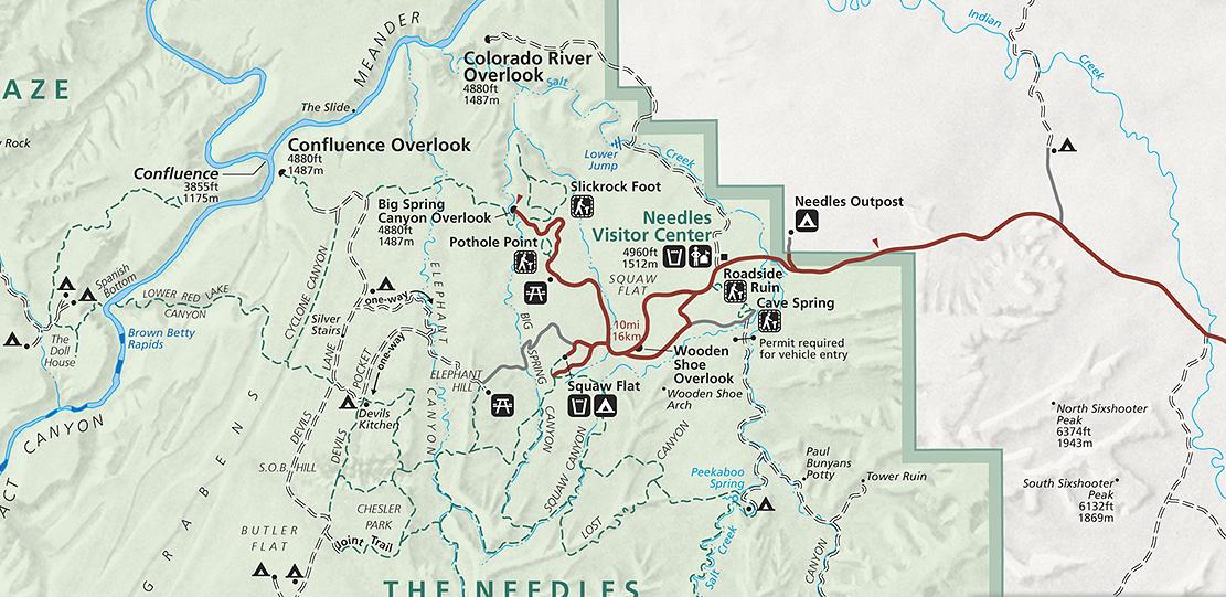
About 40 miles south of Moab on U.S. 191, take Utah 211 west to the Needles (35 miles). The paved road continues into the park. Facilities include a visitor center, 4-wheel drive roads, self-guiding and primitive trails, developed campground, primitive campsites, overlooks, and campground programs. Entrance and camping fees, open year-round
Access:
Drive to Big Spring Canyon Overlook and hike the Pothole Point trail along the way. Drive to a view of the Needles on the Elephant Hill access road.
If you have 2 hours:
Explore the scenic drive and graded dirt roads. Hike the Cave Spring, Pothole Point and Roadside Ruin trails or the longer Slickrock trail.
If you have 4 hours:
After exploring the scenic drive, hike to Chesler Park or around the Big Spring-Squaw Canyon loop. Have lunch on the trail.
If you have 8 hours:
Interpretive programs are offered from March through October with evening programs presented most nights in the Squaw Flat Campground. Check at the visitor center and on bulletin boards for subjects and times.
Interpretive Programs
Squaw Flat Campground has 26 sites available on a first-come, first-served basis. Bathrooms, fire grates, picnic tables, tent pads and water are available year-round with a fee of $15 per night. Squaw Flat typically fills every day from late March through June and again from early September to mid-October. The Needles Outpost is another campground located just outside the entrance gate. If you are 4-wheel driving the Needles, the backcounty campgrounds are some of the most scenic in North America.
Campgrounds
Quick Trails from Road
Long Trails from Road
Trails Further Back
Slickrock Foot Trail
Cave Spring
Salt Creek & Horse Canyon
Peekaboo & Lost Canyon
Big Spring Canyon to Squaw Canyon Loop
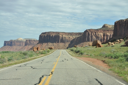
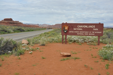
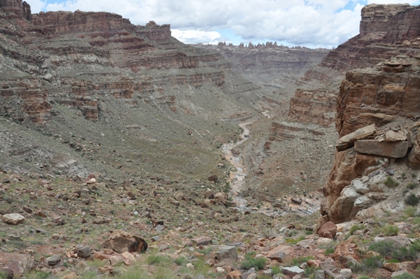
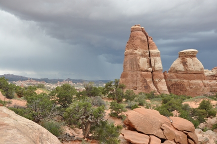
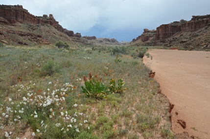

Canyonlands National Park Entrance Needles District
Views in route to the Needles District
Druid Arch
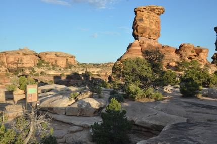
Big Spring Canyon Overlook
End of the Confluence Overlook Trail
Driving down the Silver Stairs
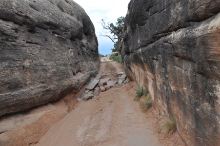
The Squeezeplay narrow section of Elephant Hill Loop Road
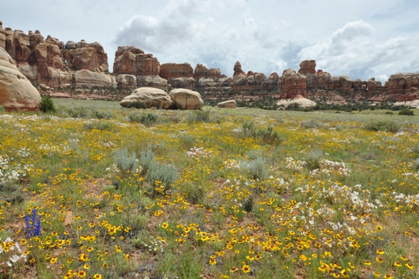
Flowers in Chesler Park
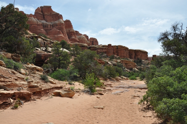
Upper Elephant Canyon
Elephant Canyon
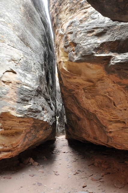
Joint Trail
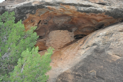
Roadside Ruin
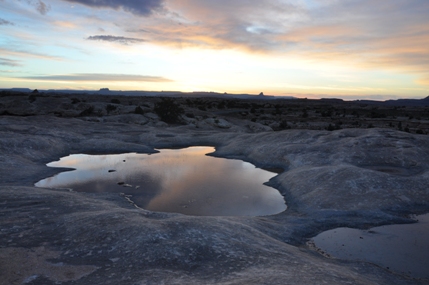
Pothole Point
Chesler Park
Cyclone Canyon
View down into Lower Red Lake Canyon in route to the Colorado
Upper Red Lake Canyon
The Needles from the Confluence Overlook Trail


