Canyonlands National Park - Maze District
If you are looking to go somewhere vast and remote, this area of Canyonlands National Park is the section to explore. There are certain areas of the district that don't get any visitors all year. Just getting into the district requires some advanced preparation with your vehicle and definitely with camping permits. You will need a full day just to get anything out of a visit to the Maze District. To really experience it, you will need at least 2 days if you are a strong hiker but preferably several days if you are like most. Using the 4WD vehicle to get in as far as possible will increase the amount you can reach without having hiked a full day to reach certain places. Think of the Maze District as four levels. The highest level is up between 6,000 to almost 7,000 feet where you will find Hans Flat, and the numerous roads with viewpoints that look down into Canyonlands. The next level 800 feet below is the Flint Trail bench where you will find a camp on the top of the Golden Staircase and the southern access roads from Hite. The third level down 800 feet more is the Dollhouse Road level. This bench has the most trailheads and access points into the lowest level, the bottom of the Maze canyons.
Listed in Backpacker Magizine most dangerous hikes, The Maze ranked as the riskiest hike on the list, yet it has claimed no lives. This is because the area intimidates anyone who doesn't come well prepared. Many others attempt to get hike in but don't get very far. The Maze sees just 2,000 people per year compared to more than 264,000 in the parks Island in the Sky unit. And most Maze visitors travel by jeep with only a small number of them really hiking very far into the backcountry. Spring is the best time, before the summer heat and rainstorms.
Canyonlands National Park


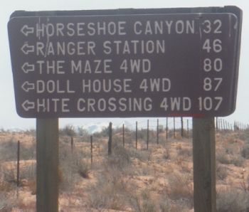
Just getting to the Hans Flat Ranger Station is a two and one-half hour drive from Green River, Utah. From I-70, take Utah Highway 24 south for 24 miles. A left hand turn just beyond the turnoff to Goblin Valley State Park will take you along a two-wheel-drive dirt road 46 miles (76 km) southeast to the ranger station at Hans Flat. From the Hans Flat Ranger Station, it is 14 miles to the Flint Trail Switchbacks. A few spots are tricky for regular vehicles, higher clearance is recomended, althouh the occasional standard car makes it.
Access
For those using vehicles, there are several primitive campsites along road, reserving permits is required and no camping is permitted off the roadway. None of the campsites have water or toilet facilities, and you must carry a portable toilet in your vehicle.
Camping
From the rim, the Flint Trail switchbacks are the only location were a path could be built to drop down to the bench below. Originally used by cattle rangers as a trail, it was improved by miners of uranium in the 1950's. The park maintains it just enough today that people are generally safe and care is taken. The route continues north around 40 miles to a location on the Green River, dropping below all the benches. Most just take the road about half way to the Maze Overlook, where camping and a good trailhead into the Maze is located.
Flint Trail
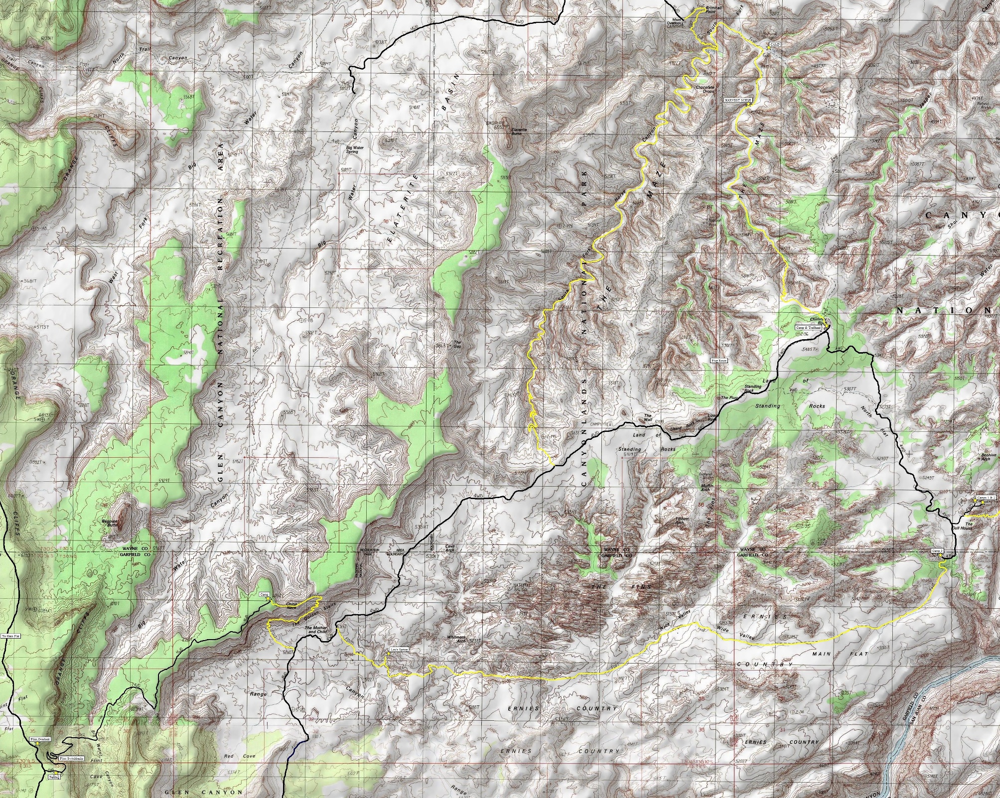
Click on map below for larger version
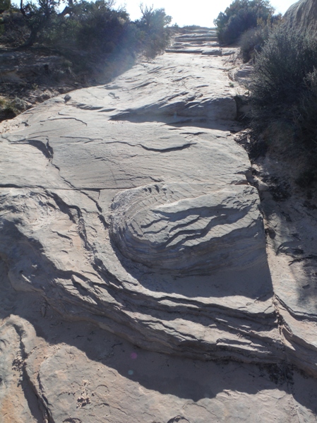
The road going over rock near the Dollhouse
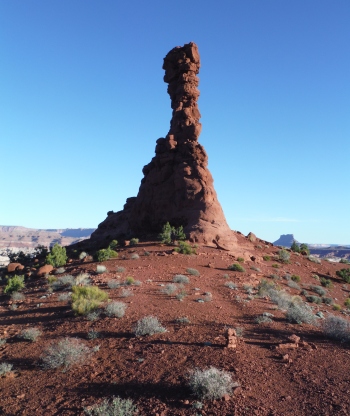
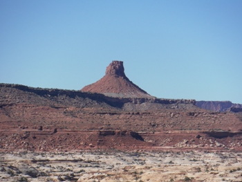
Chimney Rock
Butte
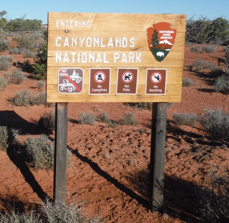
The sign off Highway 24 near the Gobblin Valley State Park turnoff.
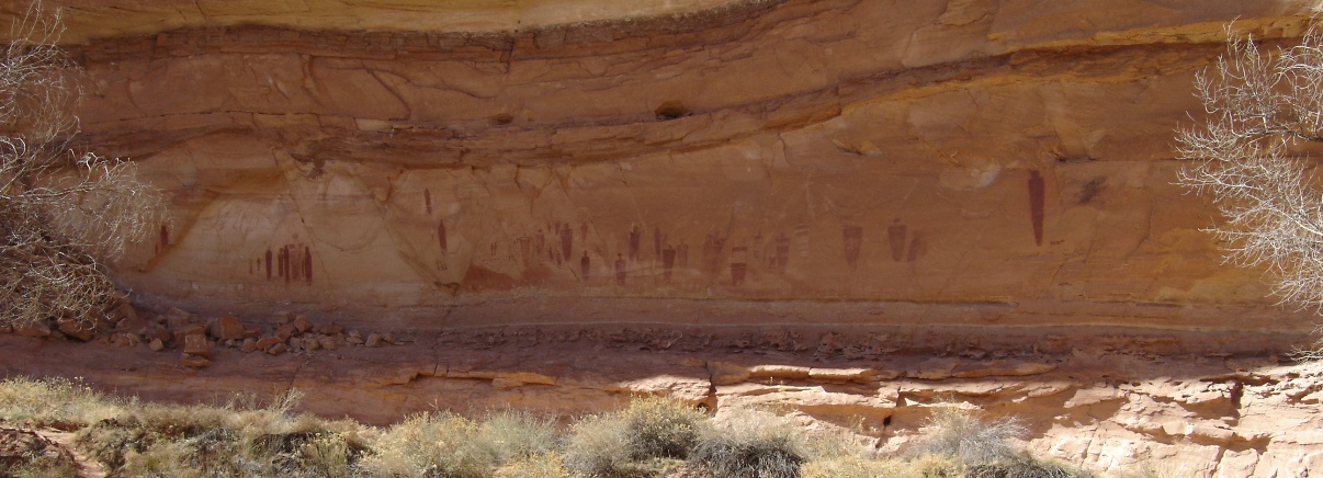
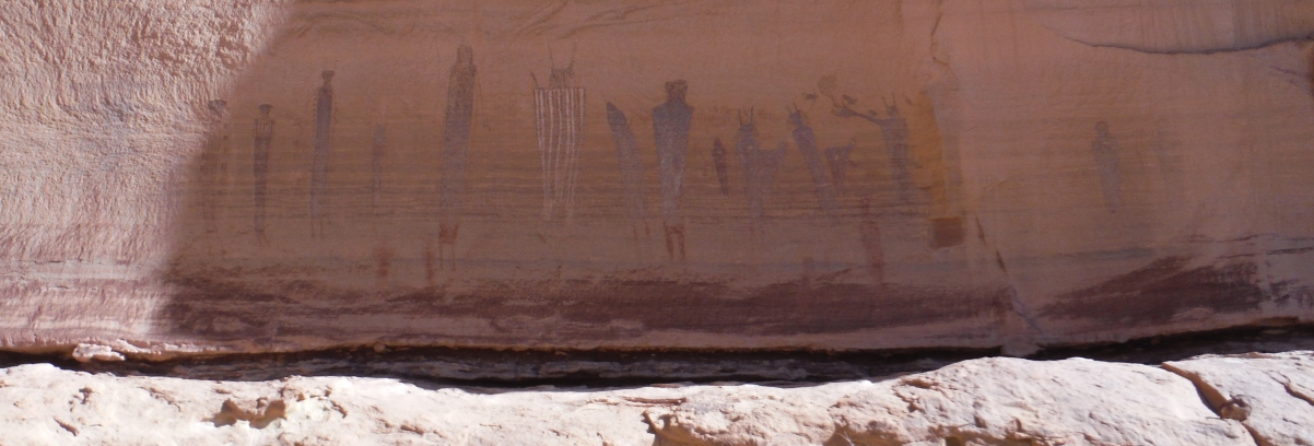
Above: The Great Gallery in the Horseshoe Canyon Block Below: The Harvest Scene in the Maze Canyons
The Dollhouses
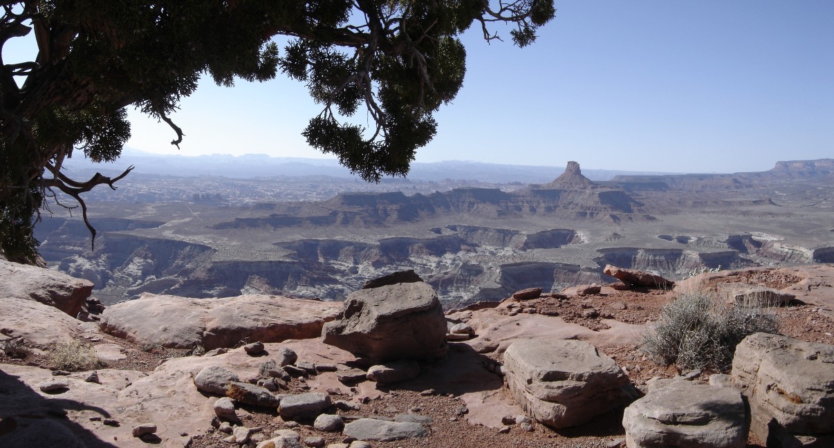
The view from Panorama Point
Looking over the Maze from the campsite at Chimney Rock
Places I've Been:


