WillhiteWeb.com - Hiking, Climbing and Travel
Queen Elizabeth Park - Vancouver Highpoint
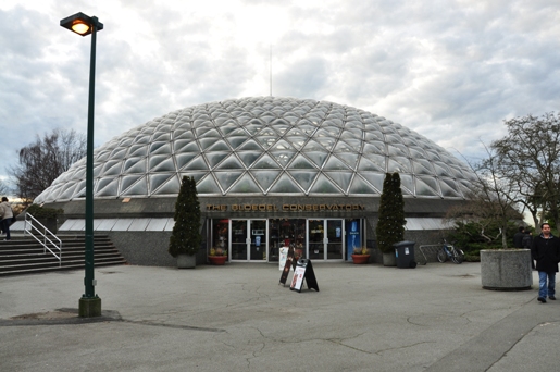
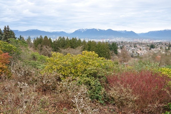
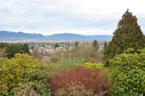
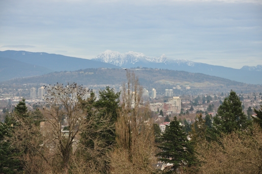
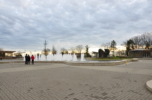
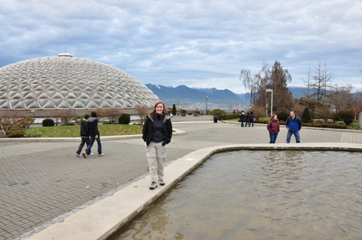
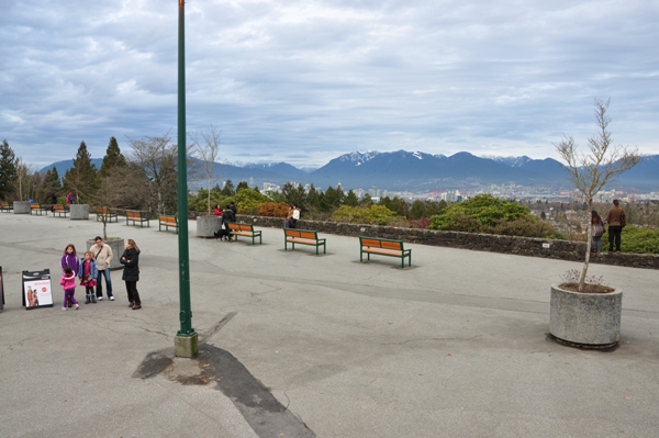
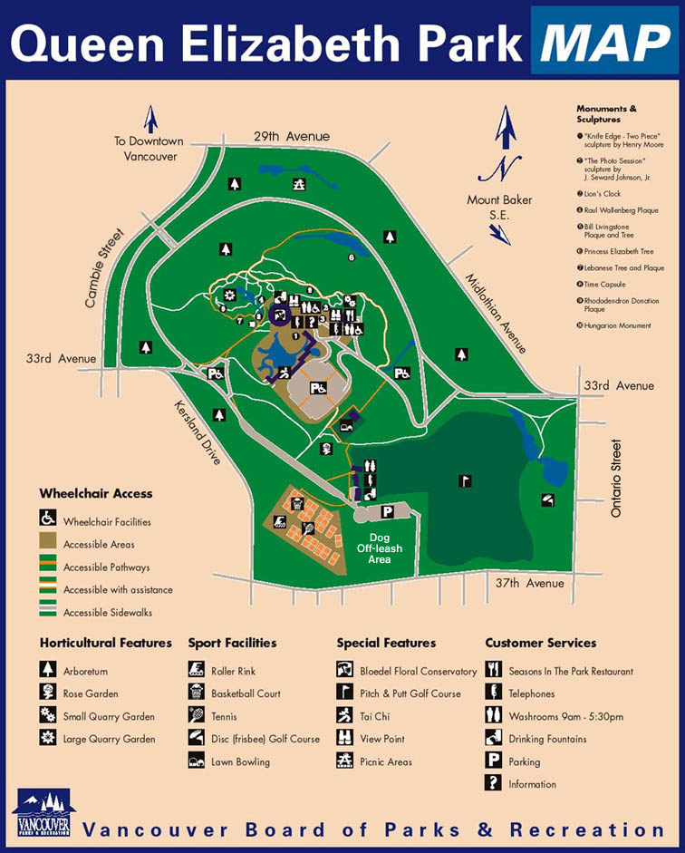
The highest point in Vancouver, on Little Mountain, an extinct volcano, elevation 500 feet. From here, visitors have sweeping views in all directions across the city to such faraway places as Mount Baker to the southeast, the Gulf and San Juan Islands to the southwest, Vancouver Island to the west, and the Coast Mountains to the north. This 131-acre (53-hectare) park is home to the Bloedel Floral Conservatory, a triodetic domed greenhouse filled with exotic plants, tropical flowers, colorful Koi fish and over 100 free-flying birds of various species. Tropical plants include palms, bromeliads and the many other exotic plants from around the world. Queen Elizabeth Park is abandoned rock quarries that have been transformed into huge sunken rock gardens with ponds and waterfalls at every level. It is one of the most popular spot for wedding photos in Vancouver. Pathways circle the park, but it is best known as a place to revel in the cultivated beauty of the conservatory, or engage in recreational activities like tennis, disc golf (played with a Frisbee), and pitch-and-putt. When it snows, the slopes of the little mountain become a tobogganing haven.
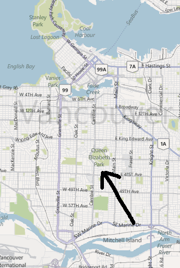
On the West Side between 33rd and 37th Avenues, and between Main and Cambie Streets. Park at the very top lot.
Access:
Fountains and the Conservatory
Bloedel Conservatory
View of Vancouver and Grouse Mountain
Mountains to the east
The fountains of Queen Elizabeth Park
View to the NE
Lots of room to look for the highpoint
Map showing Queen Elizabeth Park


