Mount Davidson
www.WillhiteWeb.com: Your online resource for hiking, climbing and travel
Mount Davidson Access:
Hiking Distance: 0.5 miles
Summit Elevation: 927 feet
Elevation Gain: 127 feet
Access: Paved
Route:
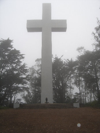
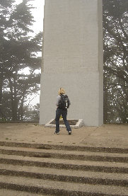
Hike to the highest point in San Francisco County, 925 feet above sea level. This "mountain" is located near the geographical center of San Francisco. On the summit is a 103 foot cross and a plaque commemorating the 1915-18 Armenian genocide by the Turks. It is also the location of a scene in a Clint Eastwood movie. I forget which one exactly.


<
<
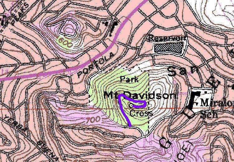
Hike up the gated road under the cover of a Eucalyptus grove. Look for some stairs on the right for a shortcut to the top or just follow the road. In good weather, people say they get a few glimpses of the city, all I saw was fog. Quite a few other trails exist in the park; I saw a lot of locals jogging.
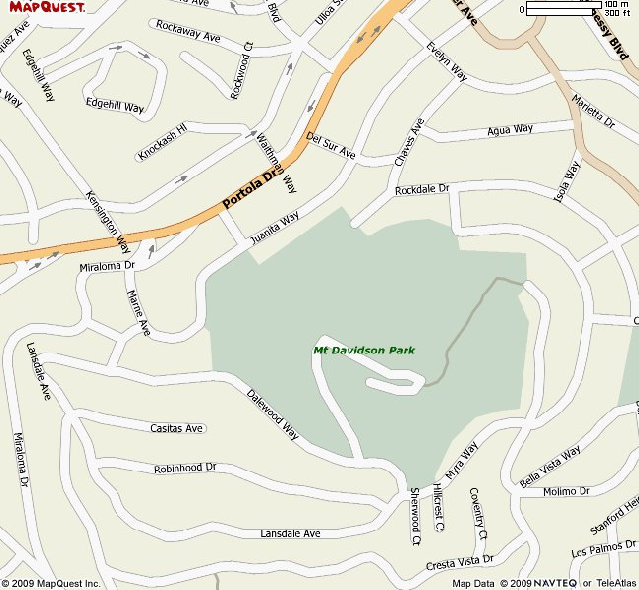
Using a San Francisco map, find your way to Portola and Marine. Drive up Marine a block, take a right onto Lansdale. Go another block and turn left onto Dalewood Way. The gated road is at the top of Dalewood Way(a very steep road). Park off to the side, do not block the gate. Several other trails access the park but this is the highest access.


