WillhiteWeb.com - Harrison Hot Springs Hiking
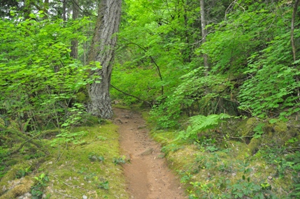
This hike is an extension of the main walkway along the waterfront of Harrison Hot Springs. The trail tread is rough and overgrown in places but the reward is some secret vistas that you can not get from the village. If the town tourism board really wanted to impress visitors, they would build a nice boardwalk & staircases out to this area.
Whippoorwill Trail
Distance: 4 km round trip
Access:
Walk the waterfront trail to the west past the Harrison Hot Springs Resort & Spa to the viewing area of the Hot Springs Source. A trail leaves from behind the building.
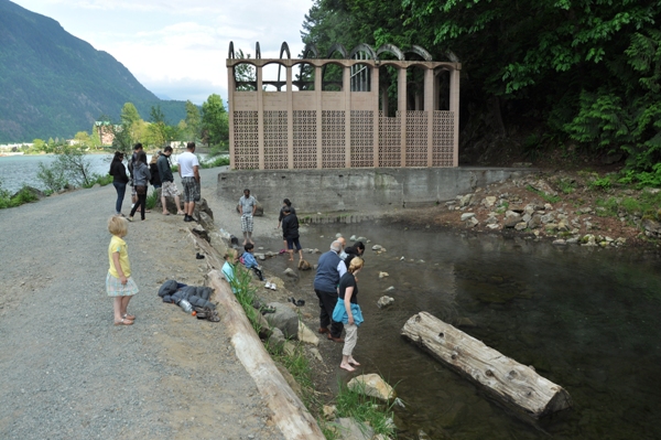
Hot Springs Source - trail starts behind it in the woods
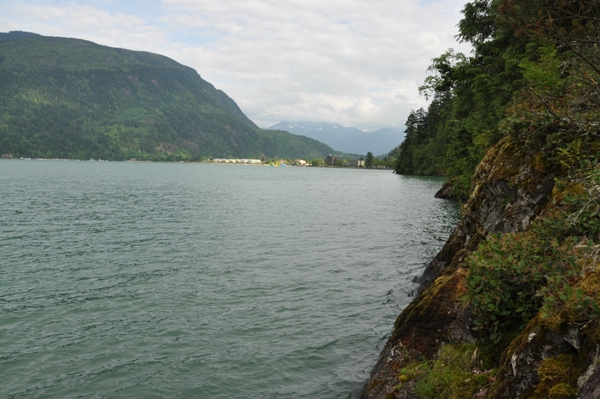
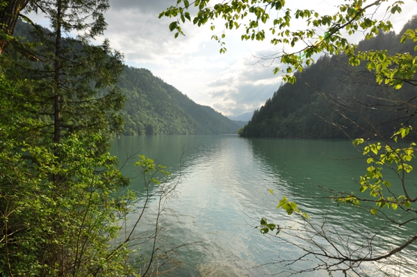
Route to the Harrison River
Looking back to the Village of Harrison Hot Springs
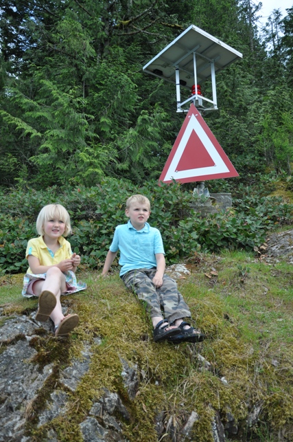
Checking out the view at Whippoorwill Point
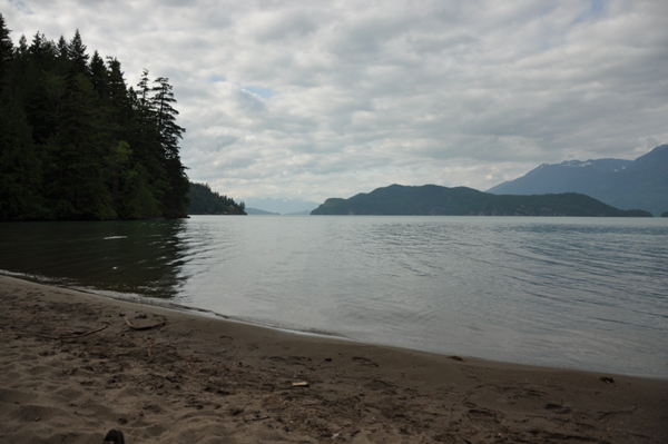
Sandy Cove
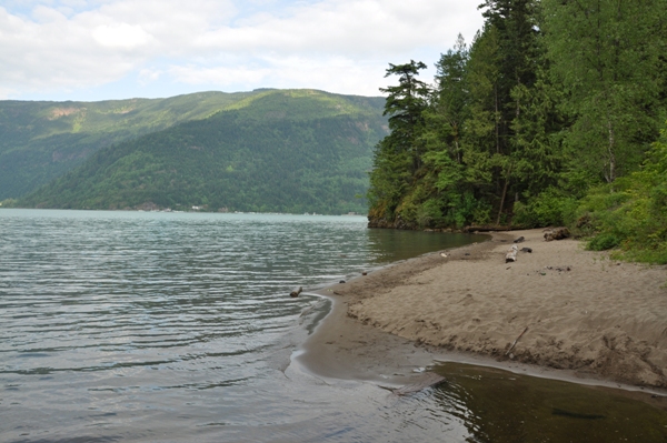
Sandy Cove & Bear Mountain
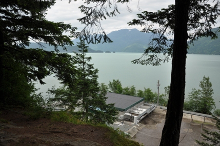
From the first viewpoint above the sewage treatment plant
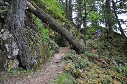
The trail near the start up to the viewpoint
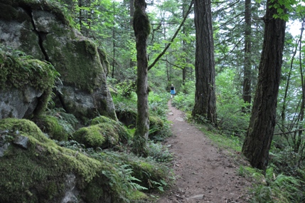
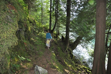
Whippoorwill Point Trail
Whippoorwill Point Trail
Whippoorwill Point Trail
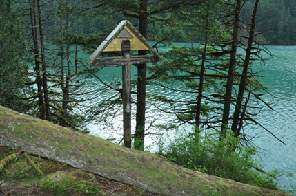
A cross on the Whippoorwill Point Trail
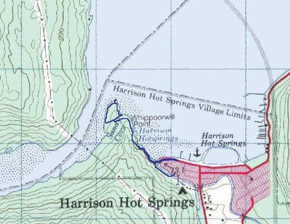
Trail map from the Harrison Hot Springs Resort
Route:
Climb the first 150 meters, possibly the most difficult part for most people. At the top is a viewing area of the lake, and the waste treatment facility below. Now look at the large rock behind you. Take the trail that goes up and around the rock to the left side. This is a short scramble that may require your hands for balance. At the top, the trail gets easy and just follows the hillside around to a nice forest above Sandy Cove. A trail below is visible and several cut trails drop down to it. Take the last one at a junction to avoid steep slopes. Follow the trail to the right out to the beach. Near the far end of the beach is a trail going back into the woods. Follow this up to the very end of Whippoorwill Point. Keep an eye for a side trail that goes out to the light station where the best lake view is located. Continuing on the trail, it follows the Harrison River, and then brings you back to the junction where you previously turned right. This trail near the end is not in the best of shape. Some of the route is marked with diamond tree markers. Return back the way you came once you reach the junction.

We made it


