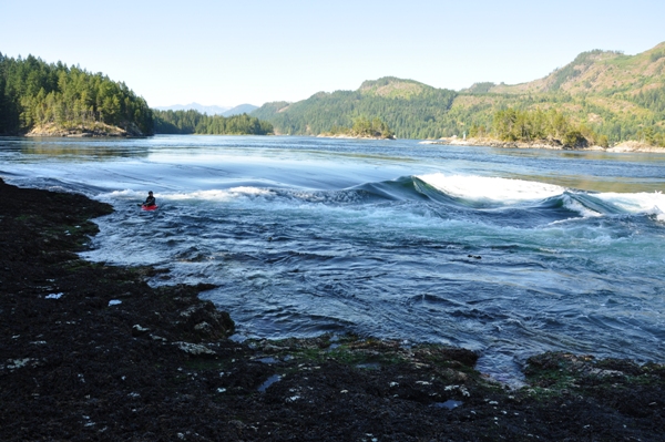
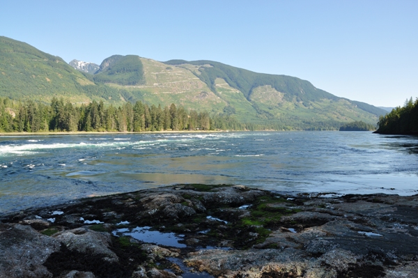
Twice a day when the tides change, 200 billion gallons of water forces through the Skookumchuck Narrows. The water is flowing through a narrow passage between Sechelt and Jervis Inlets. The difference in water levels between one side of the rapids and the other can exceed three meters (9 ft) in height. This incredible display is one of the only two class 5 saltwater rapids in the world. Skookumchuck is Chinook for "Strong Water" and can reach up to 17 knots.
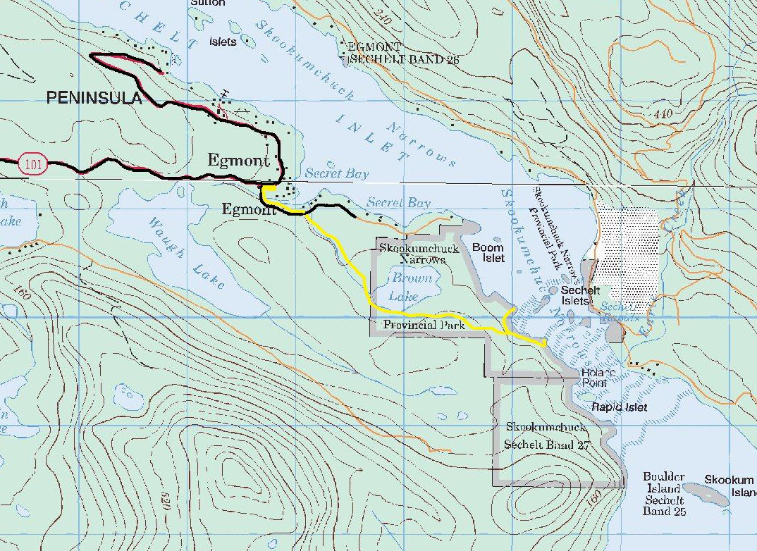
To reach Skookumchuck Narrows, you have to walk a 4-km (2.5 mile) trail from Egmont to Roland Point. The first part of the trail is a private road and not too interesting. But, you soon hit the actual trail, which is an easy walk that passes old forests and Brown Lake. Near the end, a trail splits leading to two points. Depending on the tide, viewing is at North Point during an outgoing tide and at Roland Point on a incoming tide. Both can easily be visited. At low tide, the bays around both points have varied forms of marine life.
www.willhiteweb.com - Hiking, Climbing and Travel
Skookumchuck Narrows Provincial Park
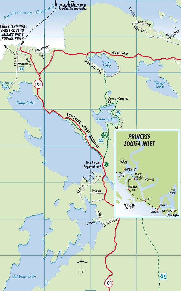
Skookumchuck Narrows Provincial Park in Egmont is at the north end of the Sechelt Peninsula on the Sunshine Coast. Following Hwy. 101 north past Sechelt and Madeira Park take Egmont Road for approximately 6 km (4 mi) to the parking lot. Egmont Road is one km (.7 mi) south of the Earls Cove ferry terminal.
Directions to the trailhead:
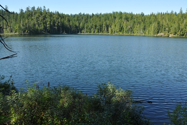
Brown Lake
Looking to Sechelt Inlet
Jervis Inlet
Below: Showing Highway 101 and Egmont Road
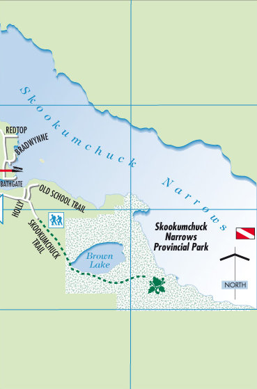
Below: Dashed line showing the Skookumchuck Trail to the narrows. The parking area is on Egmont Road. You could drive the white gravel road to the real trailhead and drop off slower members of your party but you can't park there.
Below: Topographical map of the area with the yellow showing the hiking route to Skookumchuck Narrows
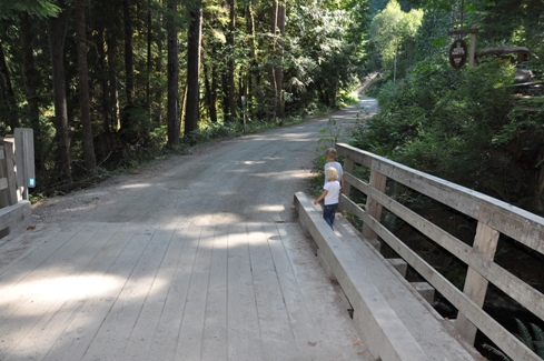
On the road walk between private property to Skookumchuck Narrows
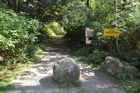
The real trailhead at the end of the private road
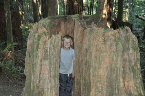
Old stump along the trail
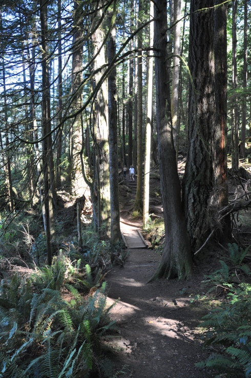
On the Skookumchuck Trail
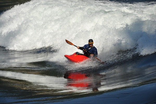
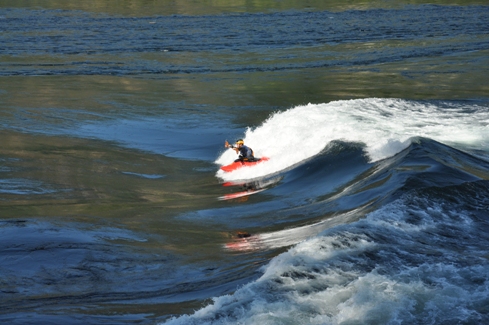
Kayaker at Skookumchuck Rapids
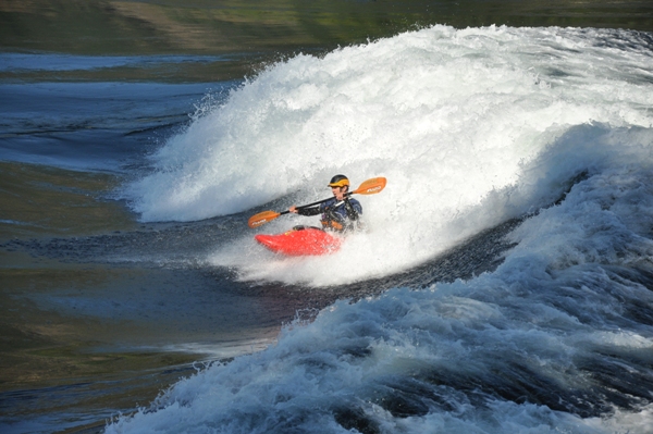
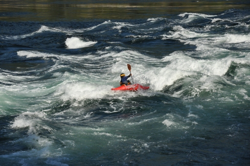
Kayaker at Skookumchuck Rapids


