Mount Garibaldi - Northeast Face
Canada Hiking & Climbing
Garibaldi is the most northern volcano on most climbers hit list that live in the Pacific Northwest. Its about a 2 hour drive north in Canada from the Washington State Border crossing. Mount Garibaldi is in the Coast Range of British Columbia, towering over the town of Squamish, which is halfway between Vancouver and Whistler. The mountain is one of the lowest Pacific Coast stratovolcanoes, yet still stands alone giving a big impression. Because the elevation isn't too high, the 360 degree panorama of rugged mountains surrounding it are a treat to view while climbing. Mount Garibaldi is crumbling so early season is when the routes are open. The bergschrunds can become extremely difficult later in season, so most ascents are done before July.
Driving Directions:
Take the Sea-to-Sky Highway north out of Squamish several kilometers until you see a sign for the Cat Lake Recreation Area. Turn right and you are on the map below.
Brohm Ridge Driving Access:
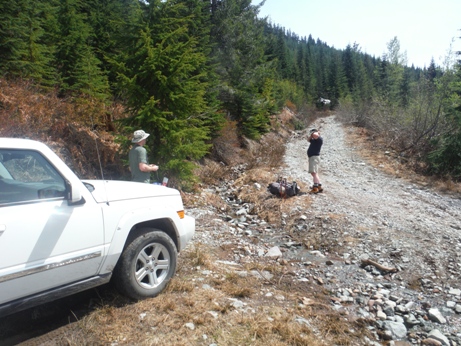
Access is changing. The historic access route is now the standard route, via the Alpine Chalet Road. The preferred, more direct route is likely blocked, under construction for the future Garibaldi Resort. Unfortunately, this preferred road is much nicer, thanks to new road maintenance, but high up you will likely hit heavy machinery or a gate. But, most vehicles could reach point A on the map below. If so, you can hike from point A (the bridge washed out) and walk to the Chalet Road on the old connecting road. The Chalet Road goes all the way to the Chalet on Brohm Ridge but early ascents will likely hit snow well before then. We were stopped by snow at point B on the map below. You will need a 4WD with high clearance to drive the Chalet Road, and online info about the gate closures is out of date.
Route to High Camp:
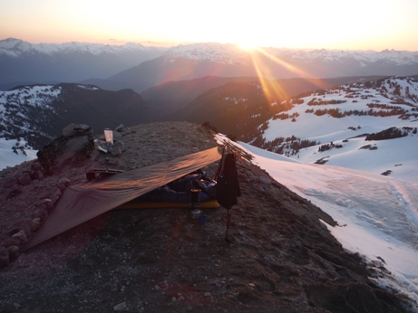
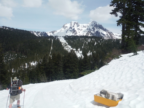
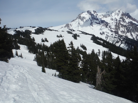
The road climbs toward the Chalet cresting a ridge, dropping a few hundred feet, then climbing again up to Brohm Ridge and the Chalets. From there, a road continues on the ridge going north. In winter, snowmobile trails are likely leading your way the entire time. Brohm Ridge opens up as the ridge turns east, now heading directly toward Garibaldi. Just follow the ridge, trying to avoid any un-necessary bumps. Before the glacier, the ridge has one tall rocky outcrop but a small trail traverses across near the top. Once at the edge of the glacier, at the pass, you will find campsites.
Route to Summit
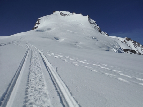
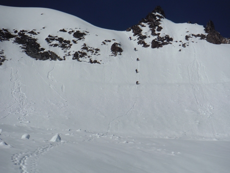
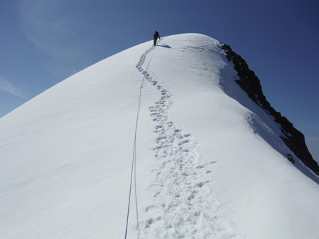
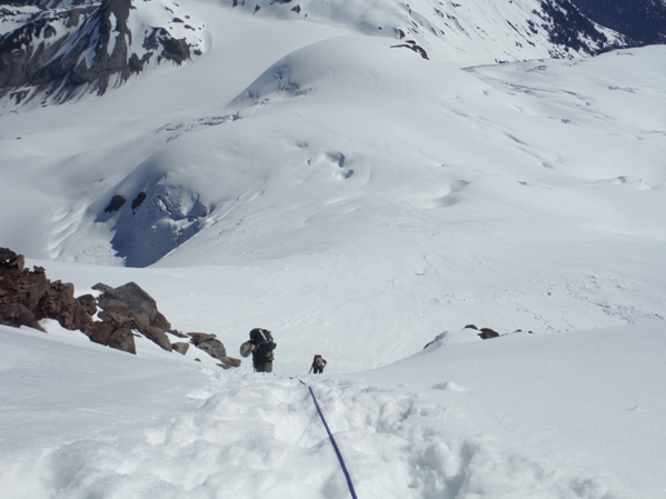
Traverse the Warren Glacier, possibly dropping some elevation before getting onto the North Pitt Glacier. Now climb until you reach the headwall which offers to main routes. Go left directly up toward the summit or go right which gains a small chute that puts you on the summit ridge. Climb the narrow summit ridge to the top.
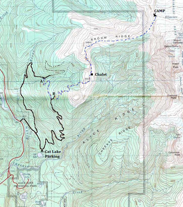
Map showing road access off the Sea-to-Sky Highway (see text above for info about points A & B)
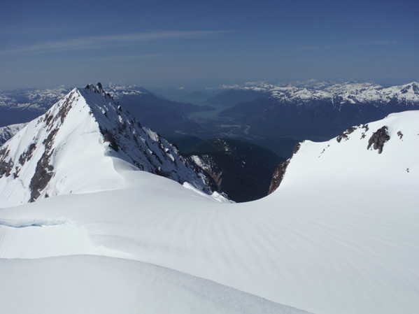
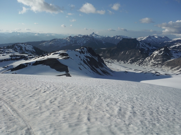
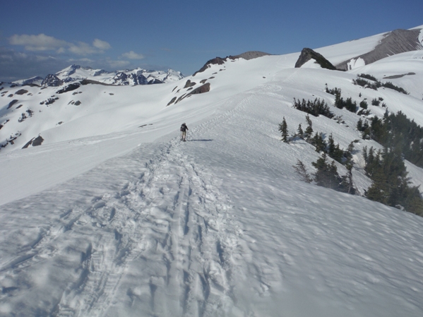
Route from the Chalet to the summit
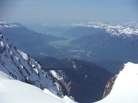
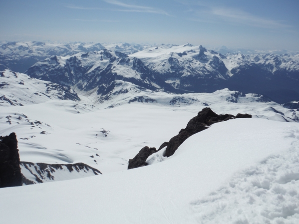
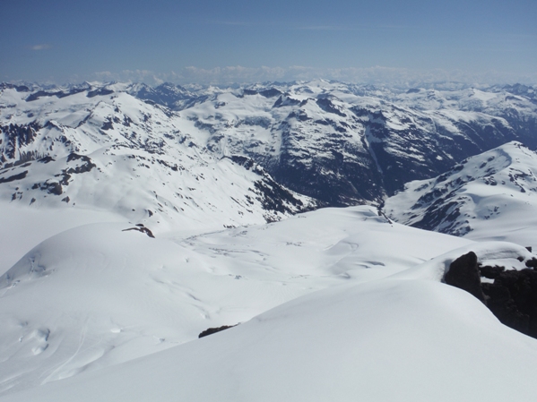
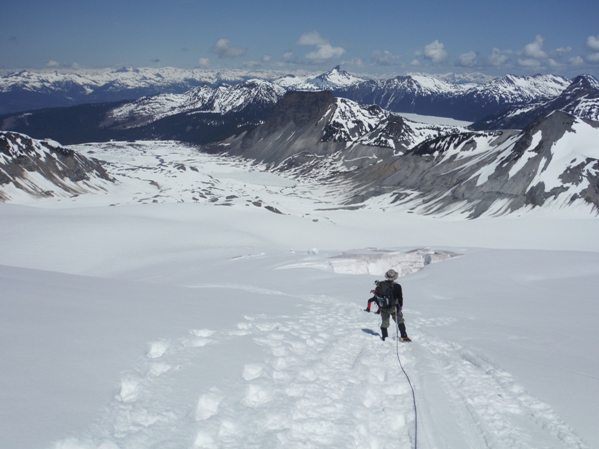
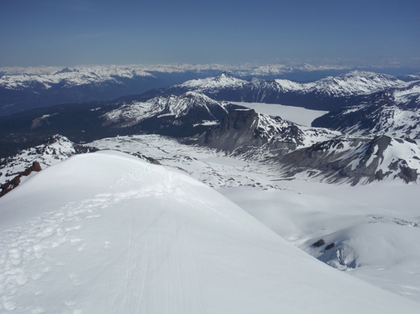
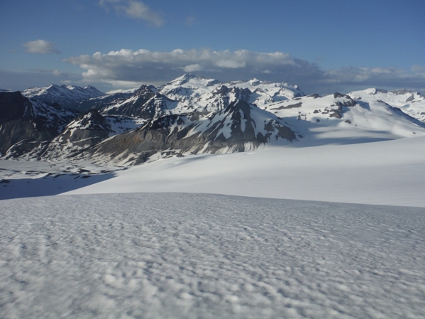
Summit Views
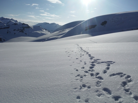
Yes, those are snowmobile tracks!
Spring start (May 31) with snow just around the bend
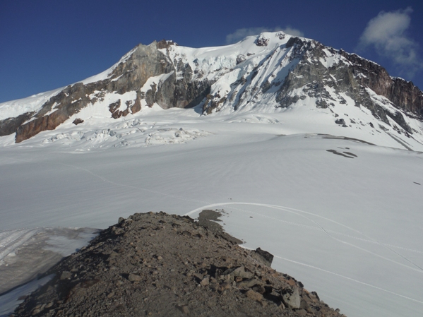
First view of the mountain
Camp
On Brohm Ridge below the "Lookout"
Brohm Ridge
Camp
Looking north to the Black Tusk
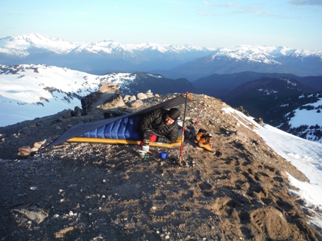
Sunset bivi
Sunrise bivi
Traversing the glacier across Giribaldi Neve
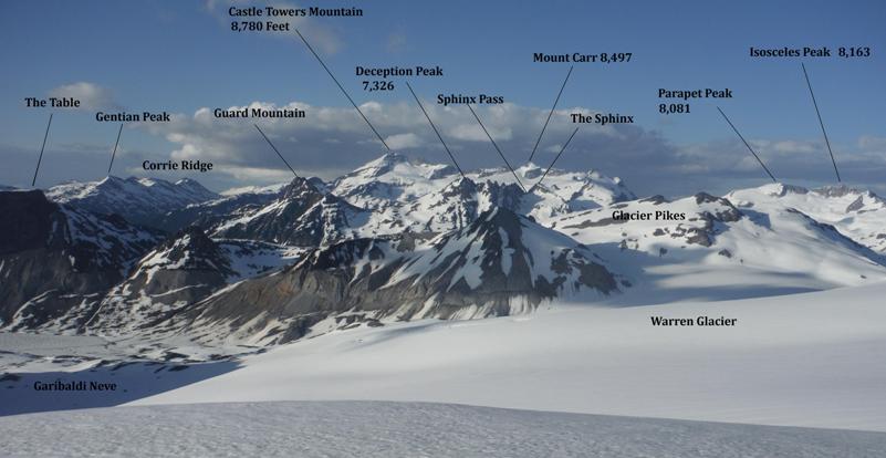
Looking NE toward Castle Towers Mountain
Mount Garibaldi from camp (other tent spots down below in the saddle)
Another group downclimbing the headwall
On the Warren Glacier
Looking down the headwall from the summit ridge
Atwell Peak and Howe Sound
Summit ridge
Squamish
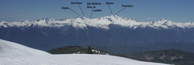
Tantalus Range to the West
Looking north with Garibaldi Lake & Black Tusk above it
Looking Southeast
Looking Northeast
Canada Hiking & Climbing
Introducing just part of Garibaldi Provincial Park


