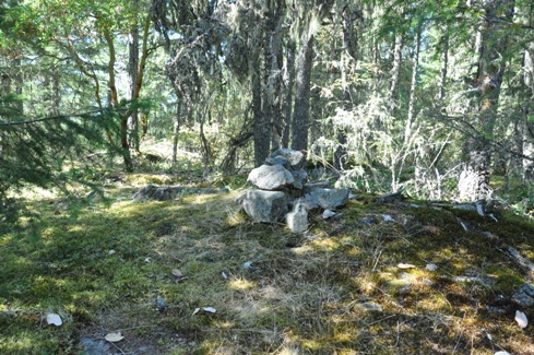
One of the easiest trail hikes to a mountain summit on the Sunshine Coast is Mount Daniel. Situated in a very scenic location, you can get an overview of the area in what otherwise is a difficult location to view without being in a boat. According to the sign at the trailhead, here is the description: "The trail leads to the top of Mount Daniel at 450 meters above sea level with spectacular views over Pender Harbour. Keep left at the fork approximately 4 minutes up the Old Dump Road. The gravel road turns to a switch back trail with some steep grades. The trail skirts to the left (east) of the first summit after approx. 45 minutes where the view is partially obscured by trees. The trail drops slightly and then rises at a moderate grade with rough sections for less than 10 minutes to the summit ridge. The trail runs east along the ridge for 50 meters to views over the Caren Range." They suggest 2 or 2.5 hours round trip. The elevation gain is 380 meters and can be done much faster than advertised above if you are in shape. For those that might care, the highest point is actually just above the viewing area at the summit. It is marked with a rock cairn on top of a large rock in the woods. No views until the upper summit.

www.willhiteweb.com - Hiking, Climbing and Travel
Mount Daniel Trail - Pender Harbour
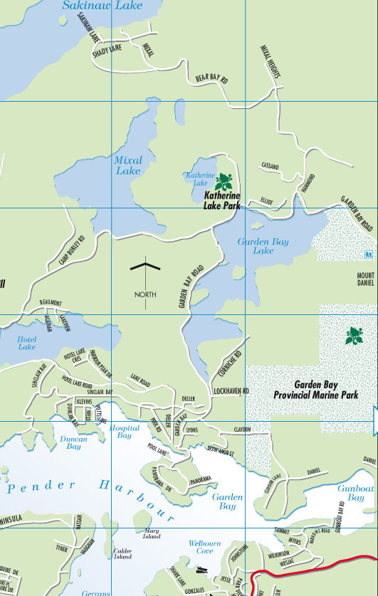
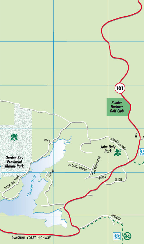
Take 101 north from the Langdale Ferry to the north end of this segment of the Sunshine Coast. At Garden Bay, turn left on the Garden Bay Road. Follow it for 2.1 miles and you will see a trailhead on your left. The parking and sign is right off the road. The road is drivable up into the woods to several more parking spots but nobody seems to drive up there.
Directions to the trailhead:
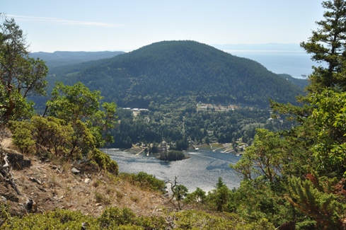
Mount Daniel from Garden Bay Lake
Map on the trailhead sign
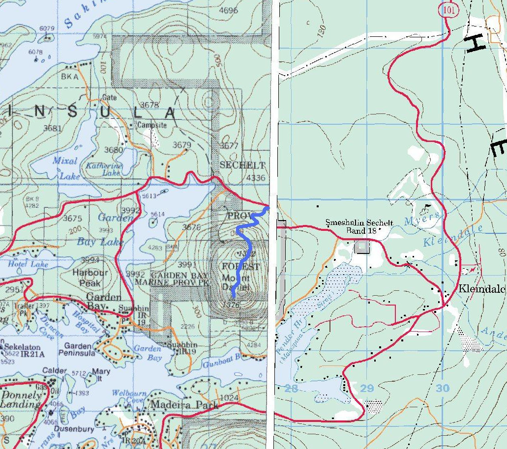
Topo map of the area with the trail drawn on it
Area map with trailhead shown as a yellow dot, take Garden Bay Road from Highway 101
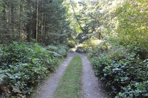
The road/trail near the start
The summit cairn
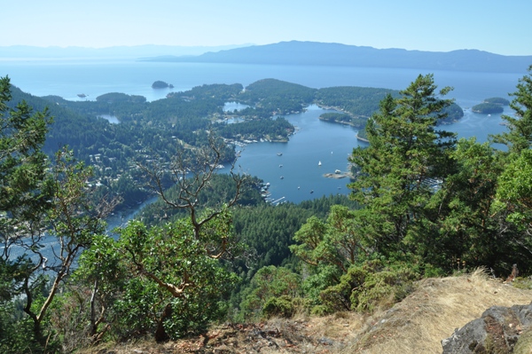
Madeira Park with views out to the Strait of Georgia, Texada Island and Vancouver Island on horizon
Mount Cecil
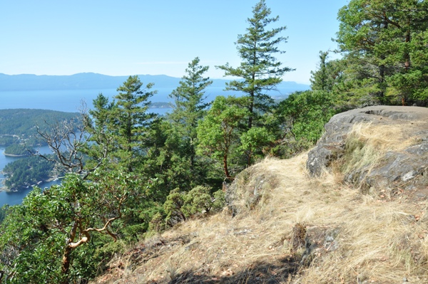
Balds on Mount Daniel
