WillhiteWeb.com - Vancouver Sights
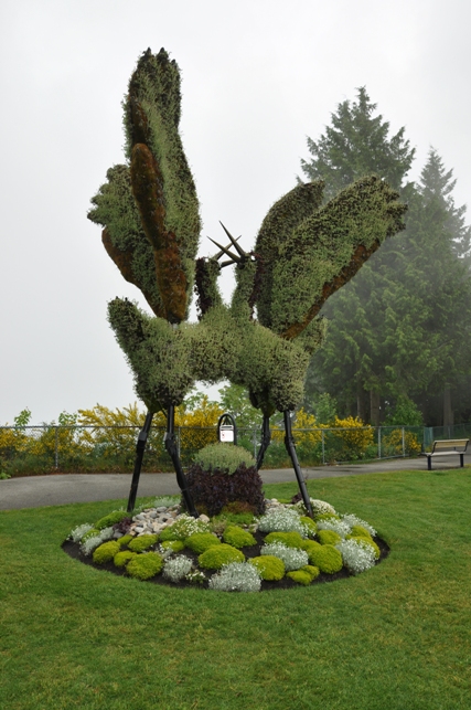
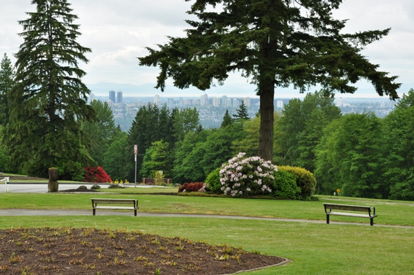
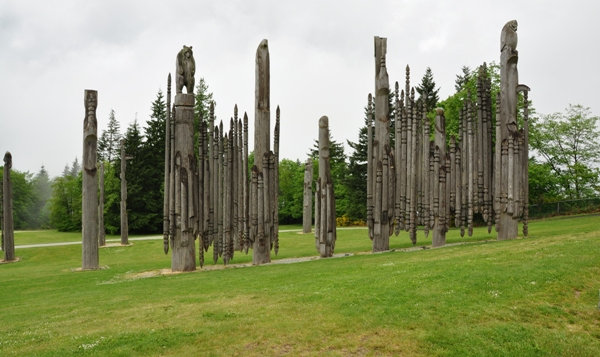
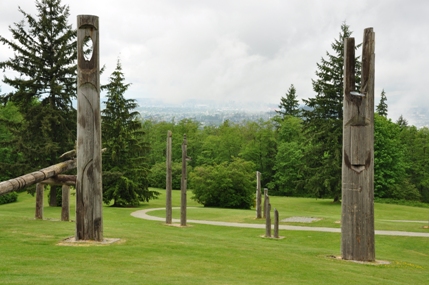
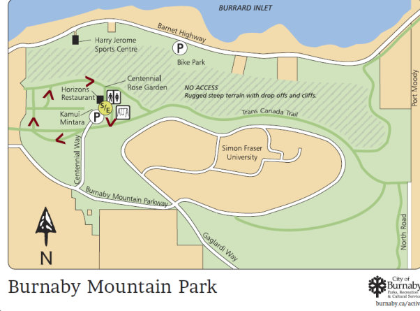
Its hard to find a mountain more used than Burnaby Mountain, situated in the suburbs of Vancouver, in the city of Burnaby. The summit is the location of Simon Fraser University, the Discovery Park research community, and the System Control Tower of BC Hydro. There is also a new residential and commercial development called UniverCity near the summit. Also near the summit is Burnaby Mountain Park which offers views of the city and Burrard Inlet. The park is home to a collection of Ainu totem pole-like carvings which commemorate the goodwill between Burnaby and its sister city, Kushiro Japan, as well as a fairly large formal rose garden. Intertwined through all the development on the mountain is kilometers of hiking and mountain biking trails.
Burnaby Mountain
Highpoint
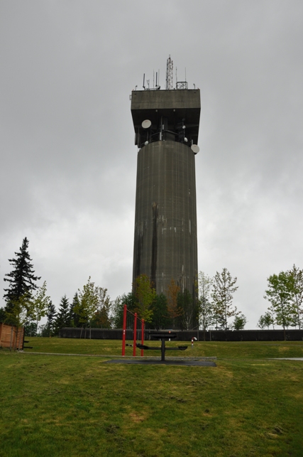
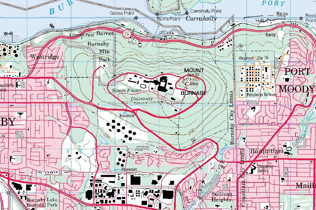
The highest point of Burnaby Mountain is the huge water tower. A public park is located at the base with parking just below. A careful look at the topo map will show a benchmark located just to the west of the tower. Searching on the ground, you can easily find it in the concrete walkway (see picture below).
Elevation 370 meters (1,214 feet)
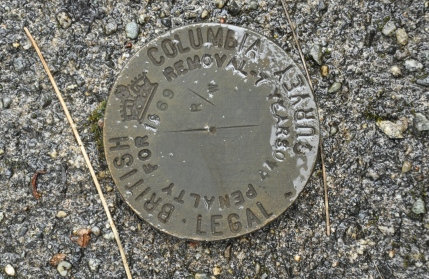
Highpoint or possibly just a witness benchmark
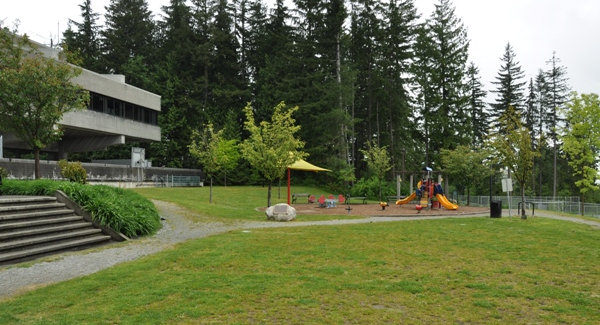
The public park at the summit under the water tower
Walk up the park to the highpoint under the summit tower
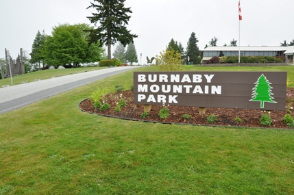
Welcome sign to Burnaby Mountain Park
Burnaby Mountain Park
Vancouver
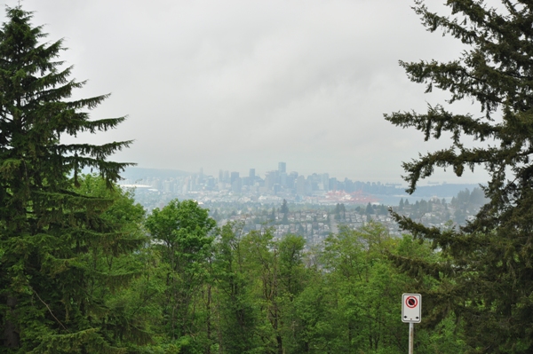
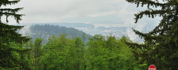
Views from Burnaby Mountain Park
Totem Poles
Totem Poles
North Vancouver Bridge
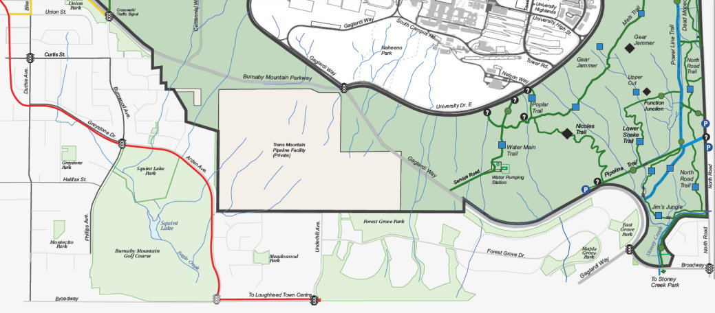
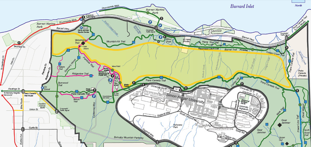
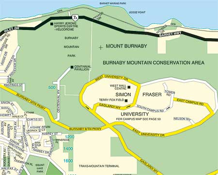
Mount Burnaby Topo Map above with trails map below


