
WillhiteWeb.com - Canada Hiking
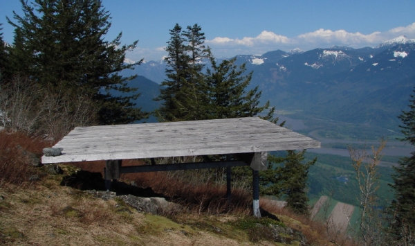
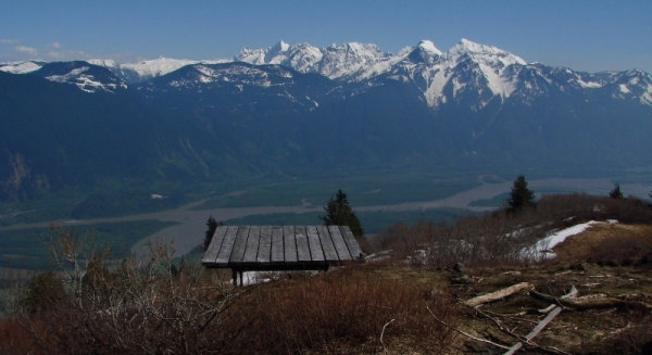
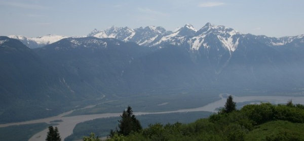
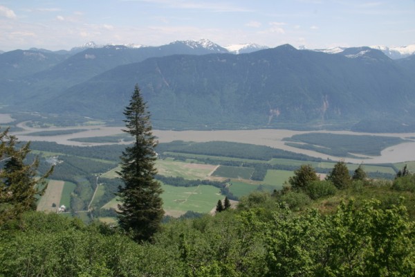
Bear Mountain is the hardest trail promoted by all the tourist brochures in Harrison Hot Springs. The trail relentlessly climbs up an old logging road with the occasional view of a waterfall or lake. The only real payoff is if you can make it all the way to the summit where there are big views of the Fraser Valley and the mountains to the south. Bear Mountain has a large prominence yet it is fairly low so the snow should all be melted by June.
Bear Mountain Trail
Distance: 9 km (5.6 miles)
Summit Elevation: 1,048 meters (3,440 feet)
Elevation Gain: 1,010 meters (3,315 feet)
Access: Paved
Access:
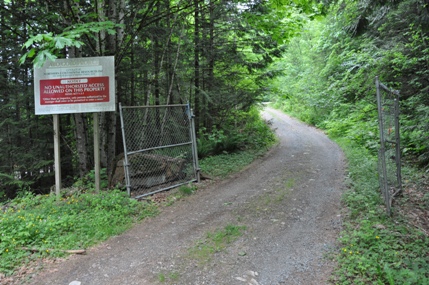
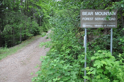
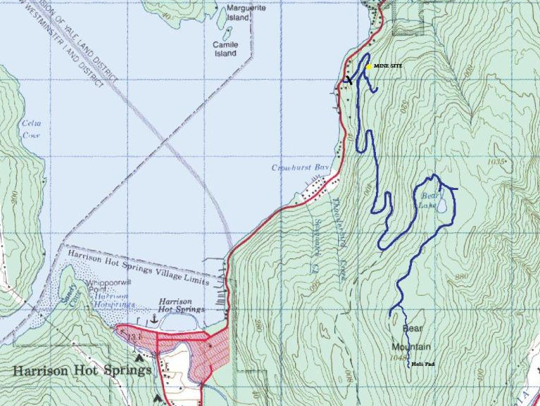
From the 4 way in Harrison Hot Springs, go east on Lillooet Avenue which becomes Rockwell Drive. Follow the road for 4.9 km to a right turn on a gravel road. There are two driveways, and one gated road with a no trespassing sign. Park off to the side here. The mine company that placed the no trespass sign is now gone and the public is encouraged to hike this road called the Bear Mountain Forest Service Road.
Route:
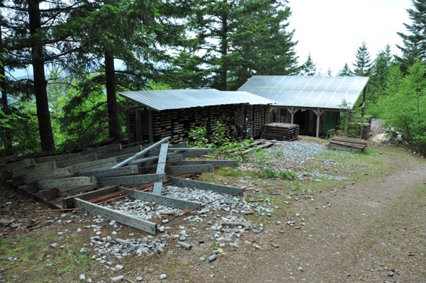
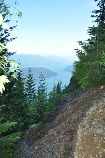
After the first switchback, the old road passes an old mine area. There is a surprising amount of debris left, especially core samples. At the end of the debris is a Y junction, go to the right. Now just follow the main road as is switchbacks up the western slopes of the mountain. At around 5 km, there are a few views up and down Harrison Lake. Not much further, the trail levels out and wraps around the ridge. After another hill is a trail split. The right goes a short distance to Bear Lake. Left continues up to another Y, go right. This section of trail is overgrown and possibly very wet. A long overgrowing road walk continues for a few kilometers. Then suddenly, flagging should mark a left turn off the road onto a trail. The trail goes through a nice forest although the tread at times is faint; always keep an eye out for flagging on the trees. After weaving around forested knobs for 20 minutes, the trail climbs over the highpoint before dropping down a bit to the open viewpoint just south of the summit.

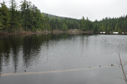
Bear Lake
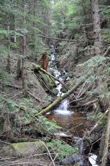
Creek below Bear Lake
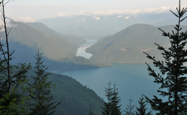
Harrison River & Lake
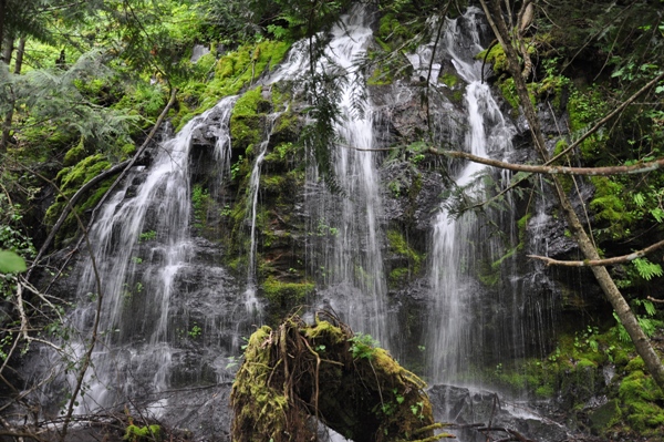
Waterfall off the trail
View up the lake
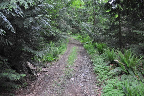
Most of the hike looks like this
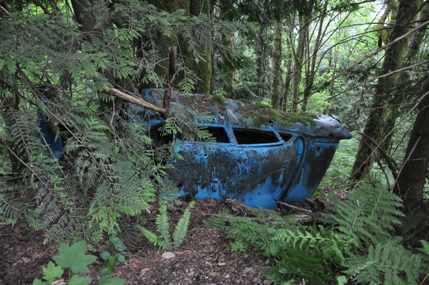
Old car below the trail
Old mine site
Bear Mountain Forest Service Road sign just past the gate
Gate and parking area
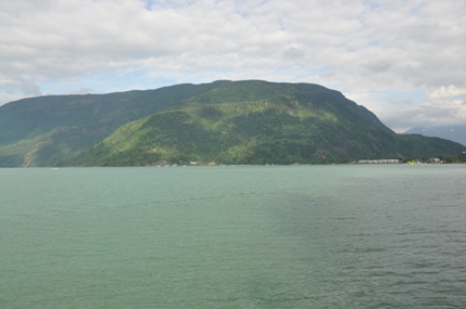
Bear Mountain from Whippoorwill Point on Harrison Lake
Bear Mountain from the south across the Fraser Valley
On the trail section in the trees
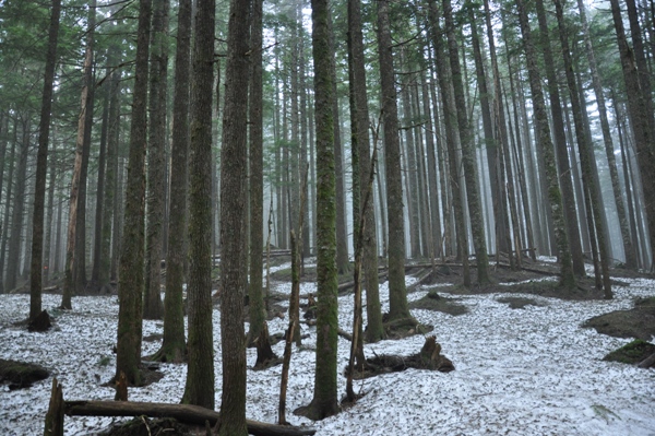
In the trees near the summit
Cheam Peak and Range to the south
Looking east from the summit
Cheam Peak and Range to the south
Summit Views
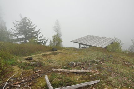
The heli-pad in the clouds
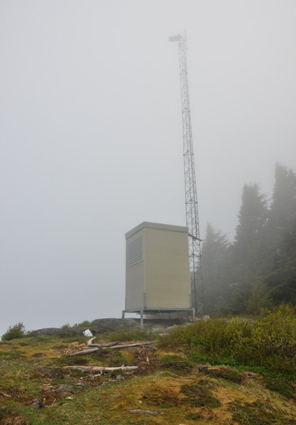
Summit tower


