Sumner Link Trail
Biking Washington
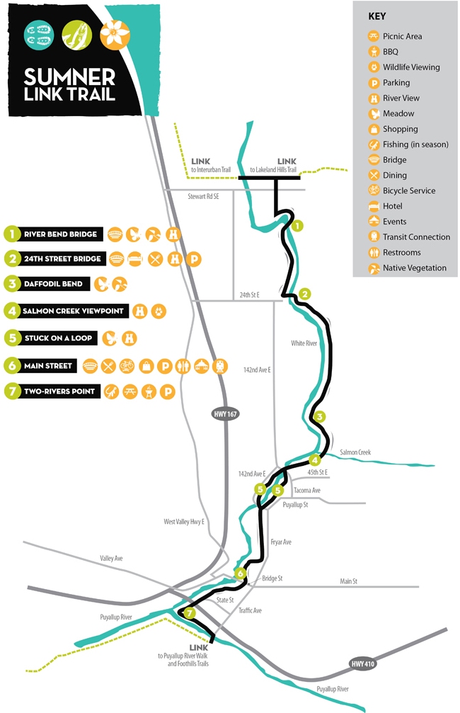
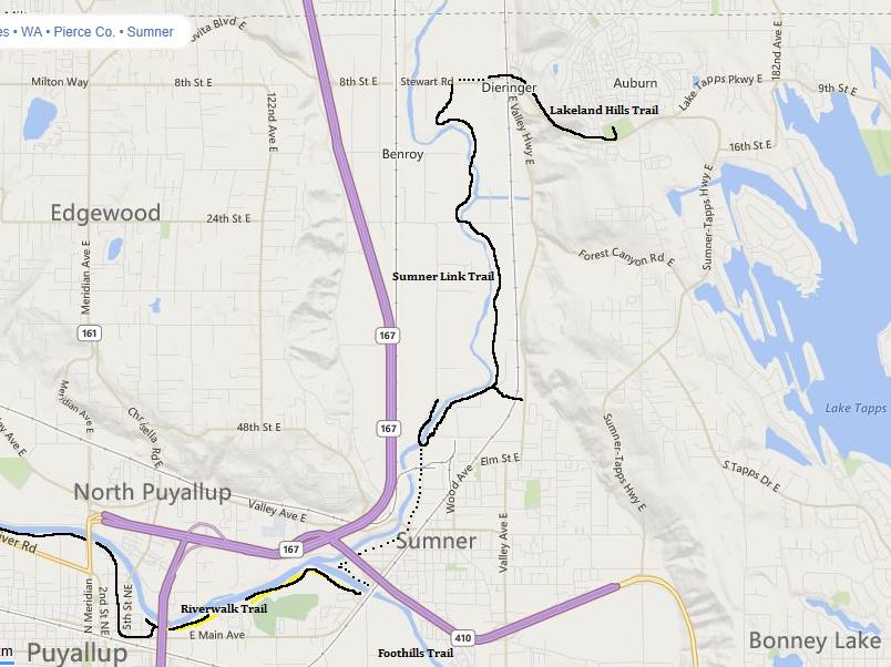
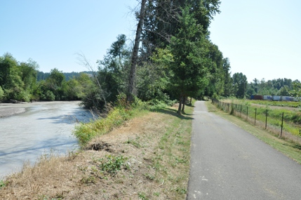
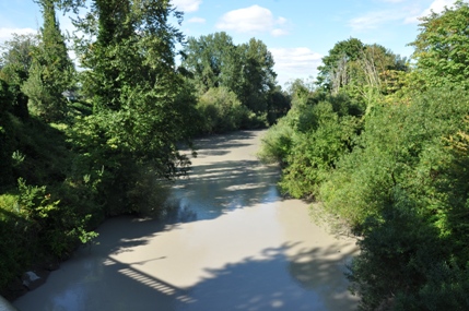
While most people think of Sumner as a sleepy community with an old downtown core full of antique shops, the city limits reach far to the north to the Pacific/Algona area. This northern section of Sumner is the Sumner Industrial Park, packed full of massive warehouses. The White River meanders through the valley and the Sumner Link Trail stays fairly close skirting between the river and the warehouses. Its called the link trail because once the region has all the trails completed, the Sumner Link will connect the Interurban Trail to the North with the Foothills Trail & Puyallup River Trails to the south. Currently, a few sections near downtown Sumner have yet to be completed but signed bike trail routes with extra space are along the roadway. At the north end, no link is connected yet to the Interurban which ends in the City of Pacific.
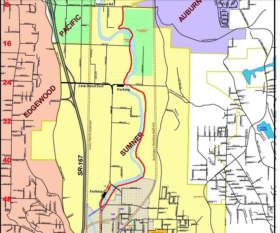
The best access if needing to park I marked on the yellow map at the bottom left of this page. The shoulder of 24th St. E puts you a bit north of the center point of this trail. There is also parking where the trail does a horseshoe at the southern end (where the path otherwise leaves the trail and follows the roadway). It's a one-way road here so a bit confusing.
Access
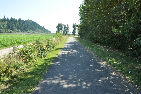
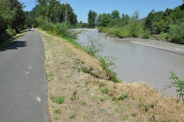
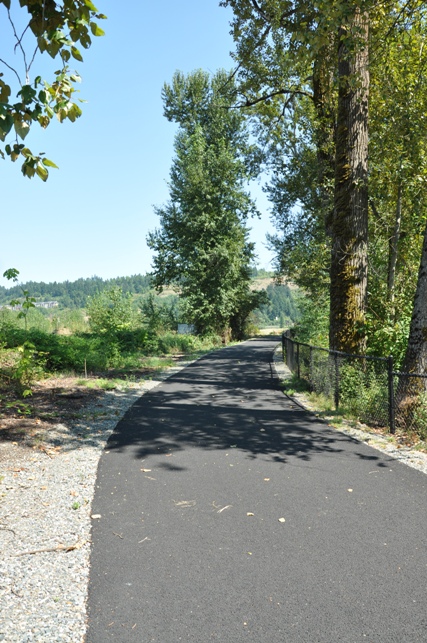
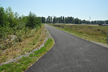
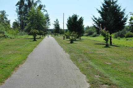
One of several splits to different access points
Passing by the Sumner Golf Course
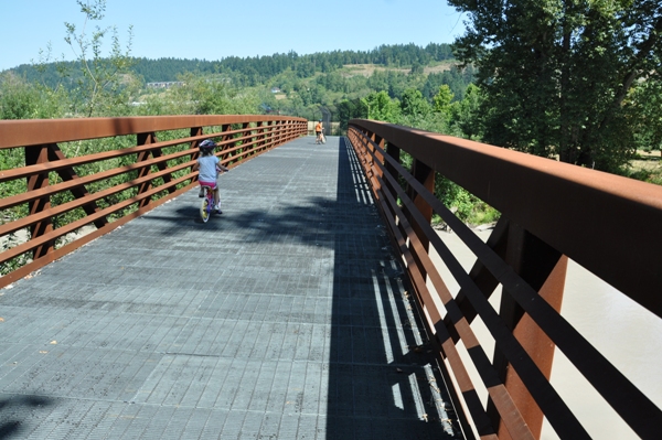
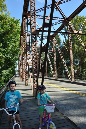
Crossing the bridge at 24th St. E.
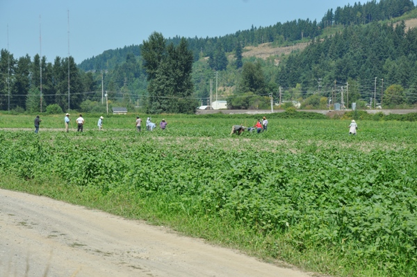
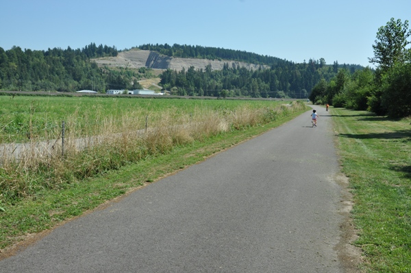
Workers in the field next to the trail
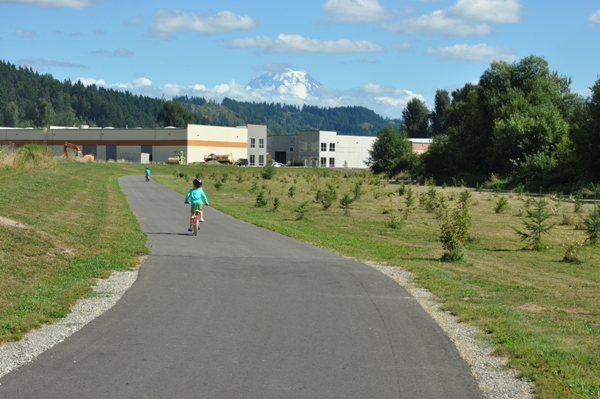
Mount Rainier Views
On the Sumner Main Street bridge (near the trail)
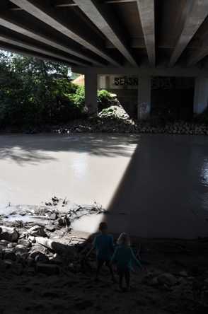
Under the Tacoma Ave. Bridge in Sumner
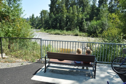
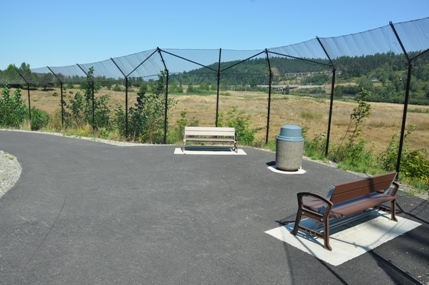
Taking a break at a bench with a view
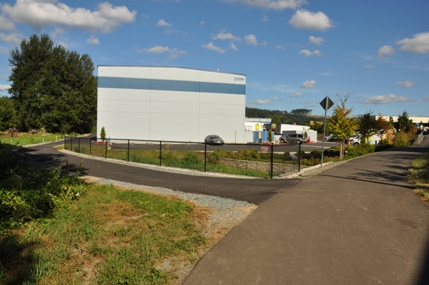
At the north end on Stewart Street looking south


