Puyallup's Riverwalk Trail
Biking Washington
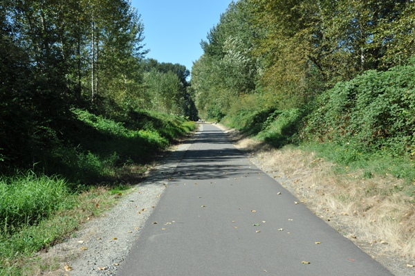
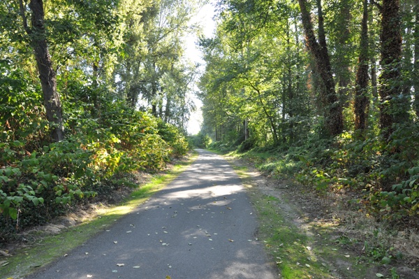
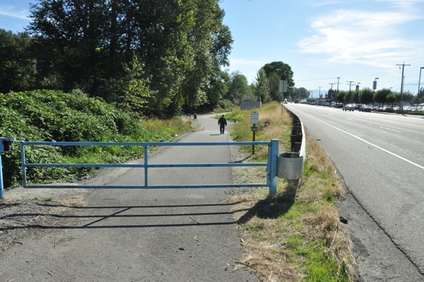
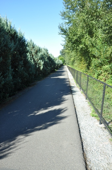
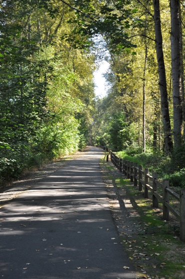
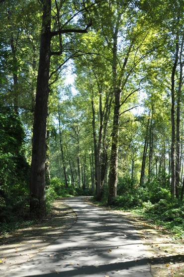
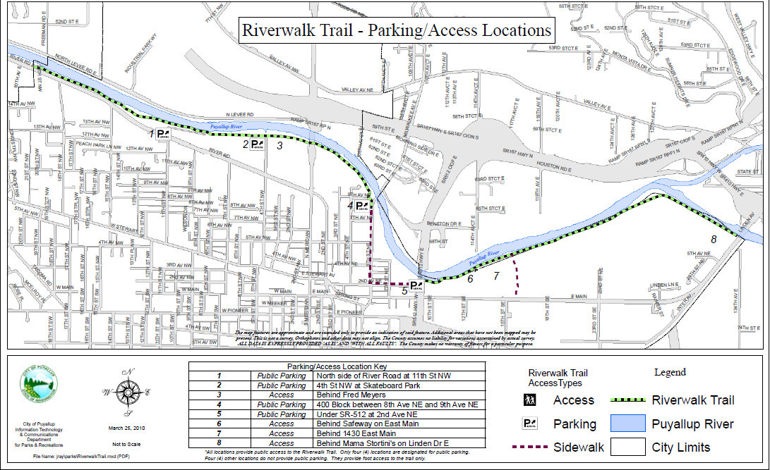
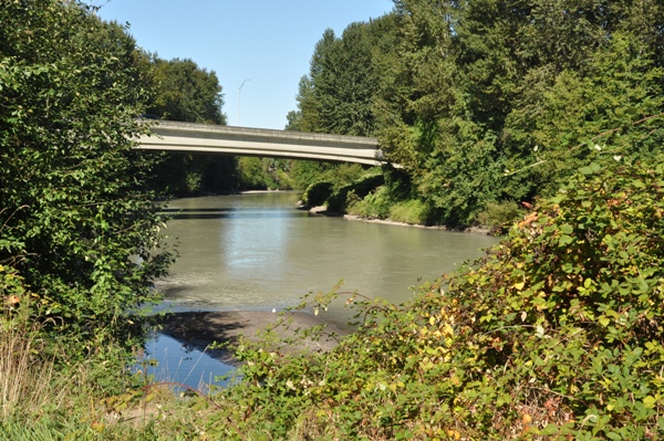
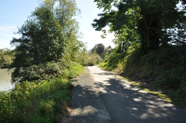
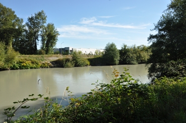
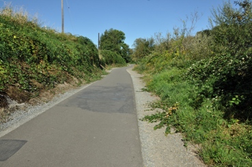
Because the Puyallup River elusively passes through Puyallup, the only real way to get some views of it is to walk or bike the Riverwalk Trail. Starting from the western city limit, the paved trail finds urban and secluded forested areas to the east edge of town where it stops at the east Main Bridge near Sumner. This 5 mile segment in Puyallup does have one drawback, a one mile section where sidewalks & roadway must be used. Other than that, it's a nice ride. To go further, from the eastern end after going under Main Avenue, turn south and take 134th Avenue south for about one mile to make the connection to the Foothills Trail, just off 80th Street. Now you can continue out to Orting and beyond.
There is parking at several points along the trail but the best is probably the Fred Meyer at River Road and Meridian Avenue.
Access
Distance: 5 miles
Elevation Change: Very little
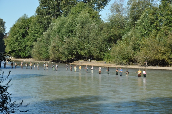
Fishing the Puyallup River
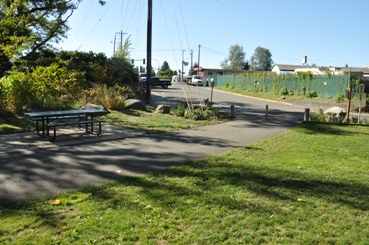
Western Start of the Puyallup Riverwalk Trail
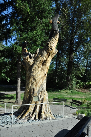
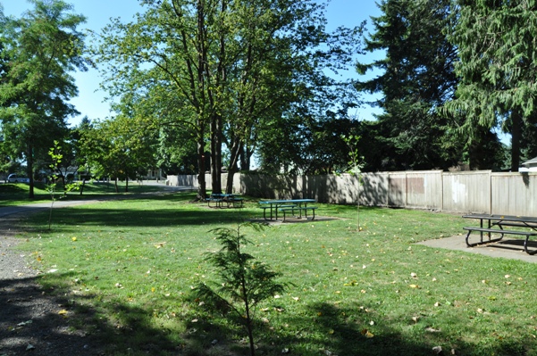
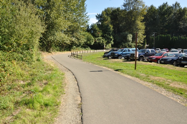
Road access & picnic area off 11th Street NW
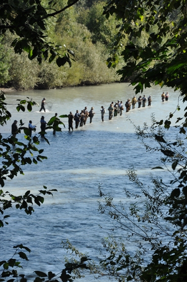
Fishing the Puyallup River
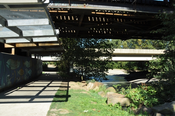
East Main Avenue Bridge & Railroad Bridge
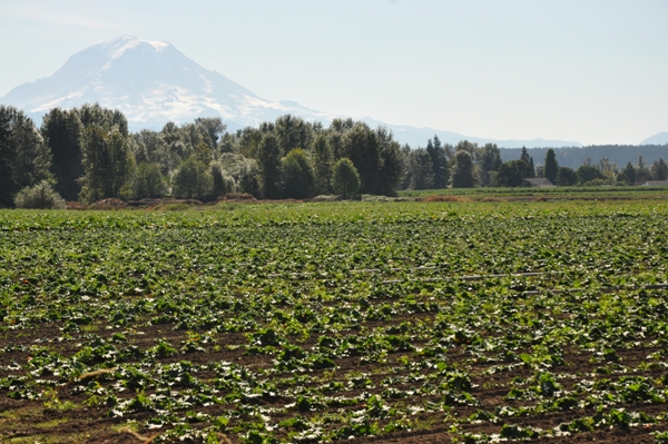
Farm and Mt. Rainier from the Main Ave. Bridge area


