Distance: 4.7 miles
Elevation Gain: Very Little
Access: Paved
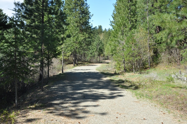
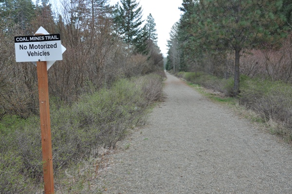
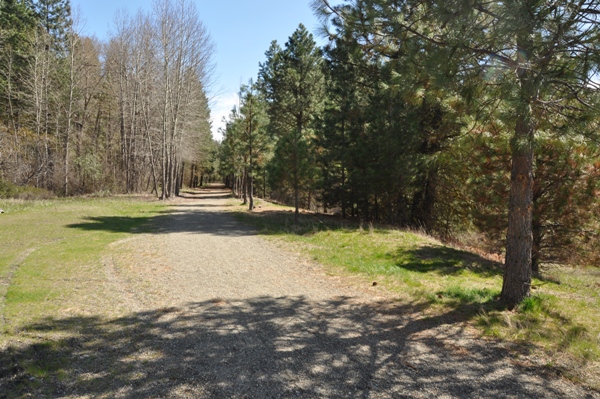
Trail: Good gravel, not loose, good for biking
Coal Mines Trail - Cle Elum to Ronald
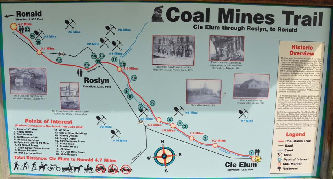
The Coal Mines Trail follows an old abandoned mining railway easement from Cle Elum to the historic towns of Roslyn and Ronald. Along the way are several fascinating historic mining sites, some of which are marked. You can enjoy the trail on foot, bicycle or horseback.
Washington Hiking & Climbing
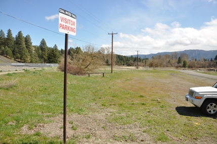
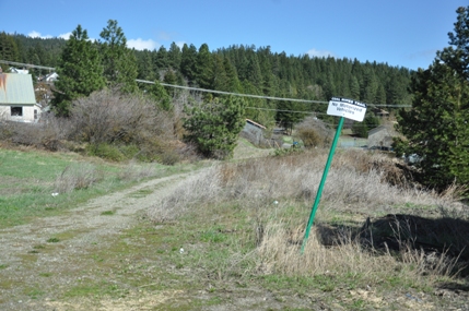
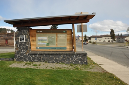
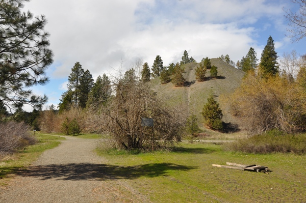
The Coal Mine Trail can be easily accessed from several locations. In Cle Elum, park in Wye Park (Flag Pole Park), at 1st St W. and Stafford Street. In Roslyn, park your car at the east end of Pennsylvania Ave. behind Old City Hall near the Slag Pile. This corresponds to #11 on the map.
Access:
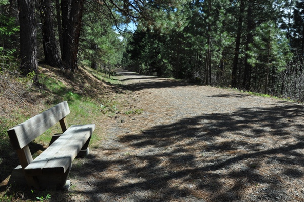
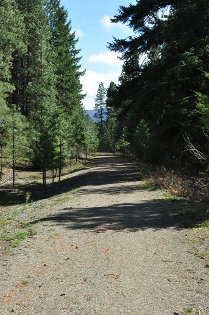
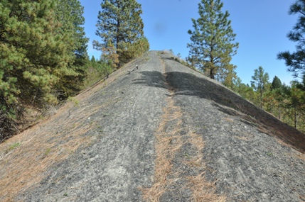
The trail starts in Cle Elum passing by backyards of residents, while interpretive signs mark old settlements such as Happy Hallow and Ducktown. As you get closer to Roslyn, things get a bit more wooded and away from homes. The trail crosses Alliance Road which access some kind of mining still underway. As things open up in Roslyn, many more sights are around, including a large slag hillside that offers a good view of the community. The trail goes right through Roslyn, along Washington Street, passing with a block of the historical buildings that all the tourists are visiting. It continues to Ronald but I'll have to do these sections on another visit.
Route:
The Coal Mines Trail follows the right-of-way of the Northern Pacific Railroad branch line developed in 1866 to export coal from the Roslyn/Cle Elum Coal Field. The Roslyn Branch was extended in 1887 to the #3 Mine site where the community of Ronald developed. The branch line intersected the Northern Pacific Railway's Cascade Line in Cle Elum and for decades constituted the primary transportation link between the Upper Kittitas County communities of Cle Elum, Roslyn and Ronald.
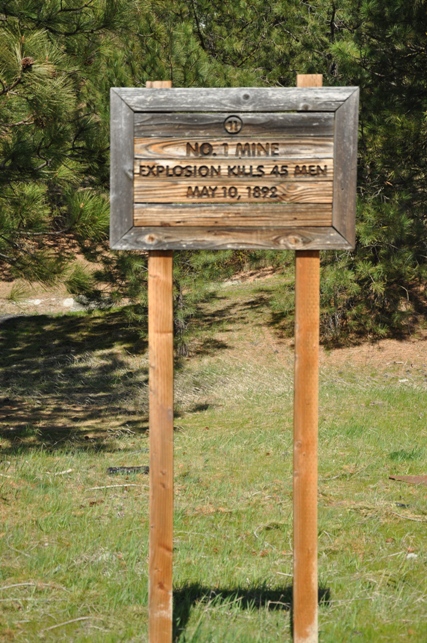
The Rosyln/Cle Elum Coal Field measures 21 square miles and produced millions of tons of high quality coal during the late 19th and early 20th centuries. Peak production came in the late 1920's when 1.8 million tons per year were mined and exported for industrial and domestic use. The last local coal extraction enterprise, #9 Mine, ceased operation in December 1963.
The Roslyn/Ronald branch line remained operational until 1986 for delivery of coal imported from Utah to the Roslyn Fuel Company in Ronald. The Roslyn Foundry also continued to receive rail shipments of coke fuel for its cupola furnace that produced iron castings. In 1987, the Roslyn/Ronald branch line was decommissioned and the tracks and ties were removed from the right-of-way.
In 1994, the government of the City of Roslyn, City of Cle Elum, and Kittitas County adopted a Innerlocal Agreement that established the Coal Miners Trail. Commission to convert the branch line right-of-way to a public recreational trail and underground utilities corridor.
The Coal Miners Trail is dedicated to the hearty pioneers that created the local communities and endowed them with a rich and enduring cultural heritage.
History:
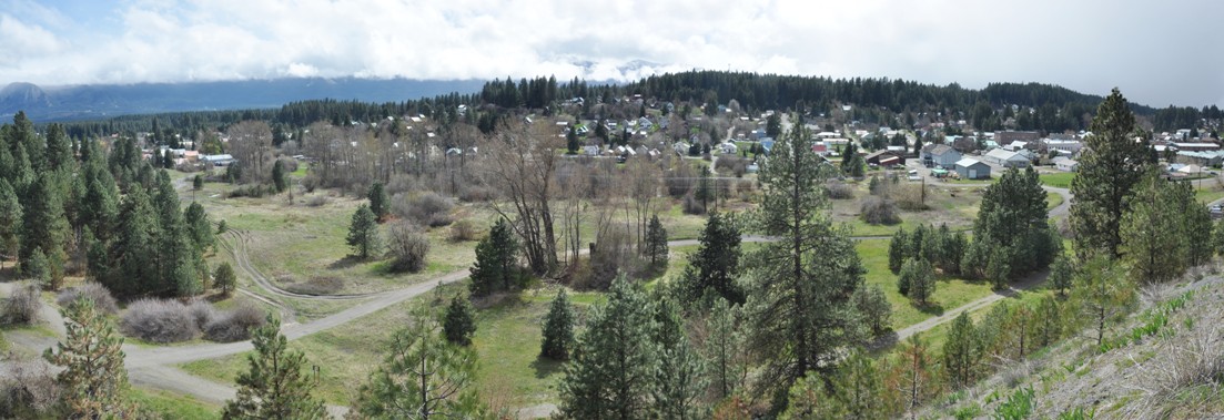
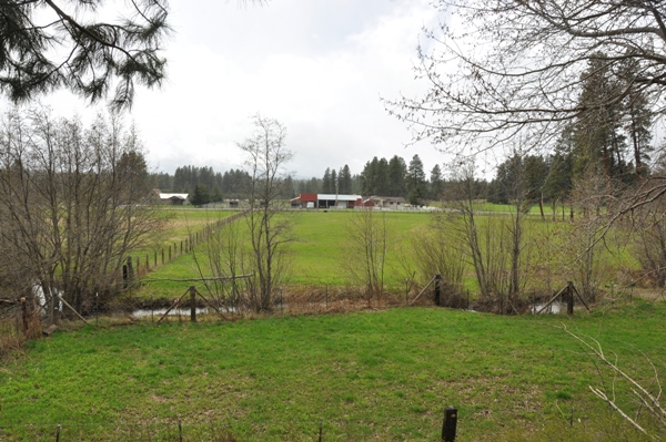
View of Roslyn from the top of the Slag Pile
Parking in Roslyn off Pennsylvania Ave.
Sign for Wye Park in Cle Elum
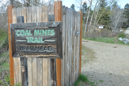
Official start of trail in Cle Elum near Wye Park
Trail in Roslyn
Trail south from Alliance Road
Slag Pile near Roslyn
Farmer Field south of Roslyn
Hiking up the Slag Pile
Mile Marker
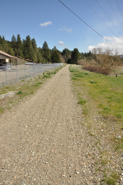
The trail into Roslyn


