
Mt. Humphreys
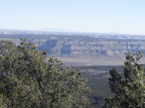
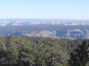
View south, Grand Canyon is the second canyon, & Mt. Humphreys, the highest mountian in Arizona
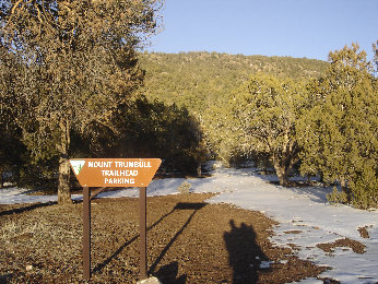
Trailhead, notice the shadow of the 3 of us on one. The last 2 miles to the trail were in the snow.
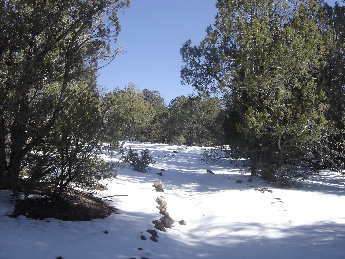
Snow at the start, but once the trail was on the south
slope of the mountain, the trail was mostly clear
Mount Trumbull is a very isolated mountain in northern Arizona that can be included in a trip to the Tuweep Area of Grand Canyon National Park. The peak is the highest mountain in the Uinkaret Mountains as well as one of the highest in northwest Arizona. The BLM also calls this the Mount Trumbull Wilderness Area.
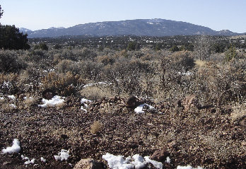
As we got closer, Mt. Trumbull looked more like a mountain
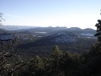
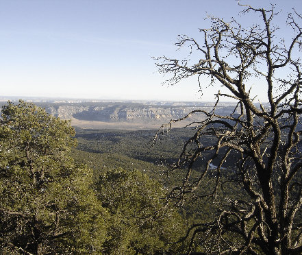
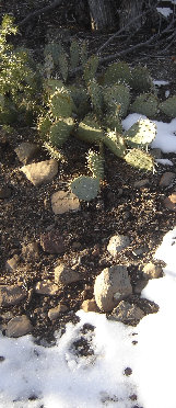
Cactus
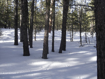
The last mile was through the forest in this flat area. From the weight of the kids, I sunk into the snow about 5 inches, a real workout.
Access:
Mount Trumbull
Distance: 2.5 miles
Elevation Gain: 1,500 feet
Summit Elevation: 8,029 feet
Access rating: Level 2
The Route:
www.WillhiteWeb.com: Your online resource for hiking, climbing and travel
<
Mount Trumbull from the start of the dirt road
More views
Uinkaret Mountains
More views
>
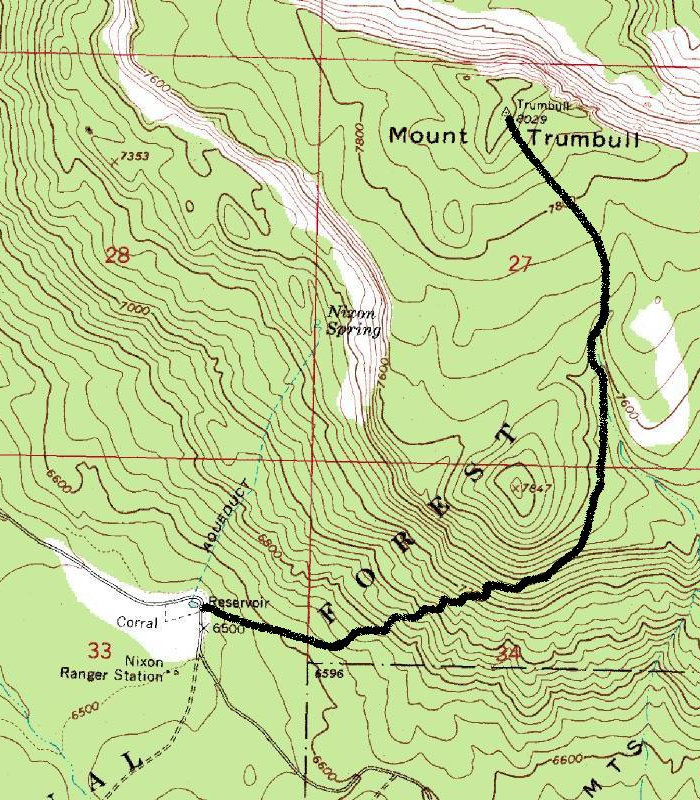
From the trailhead near the Nixon Springs Ranger Station, start up the trail at a nice gradual incline. A good trail exists, climbing for about 2 miles with views out through the pines here and there. Closer to the summit, the trail is in a Ponderosa Pine forest so there is not much to see. This higher portion of the trail is not clearly marked. On the summit, there are views if you move around to different areas and there should be a USGS benchmark.
From Fredonia, take Arizona State Road 389 toward Colorado City. Between mileposts 24 and 25 about 8 miles out, turn left on Mount Trumbull Road (Antelope Valley Road). This dirt/gravel road travels over 60 miles to the Tuweep Area of Grand Canyon National Park. Around mile 46, before the park, the main road (County Road 5) should veer to the south climbing the south slopes of Mount Trumbull. Drive 7 miles to the trailhead. At the crest, a sign will indicate Mount Trumbull, but continue to the trailhead about a mile further, around 6,500 feet. There is also a BLM campground near at Nixon Spring.


