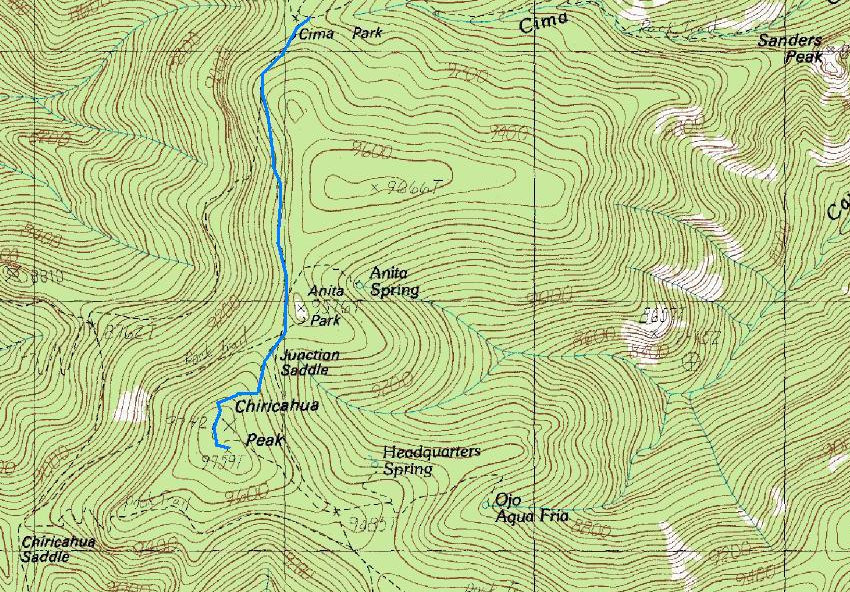
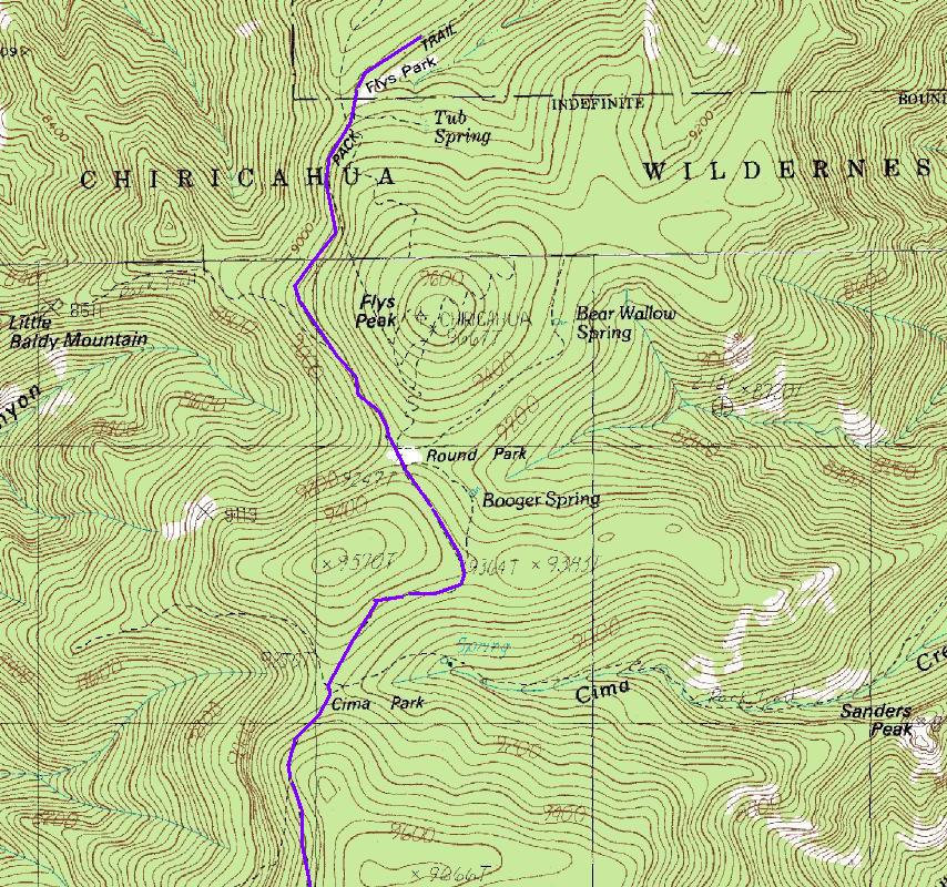
Chiricahua Peak in the Chiricahua Mountains is another big Arizona mountain with no real summit qualities. Chiricahua does offer lots of hiking when other parts of the West are under snow. A hike up Chiricahua will give you the county highpoint of Cochise County and one of the 57 "Ultra" prominent peaks in the lower-48 states, with over 5,000 feet of prominence. Had I not been carrying both my kids this very long distance, I would have really enjoyed this trip more. This is a good trip for kids, just too long for me to carry both. Had they been a bit older, it would have been perfect.
Chiricahua Peak
www.WillhiteWeb.com: Hiking, Climbing and Travel
Access:
Distance: 5 miles (Rustler Park Approach)
Elevation Gain: 1,500 feet
Summit Elevation: 9,759 feet
Access rating: Level 2
The Route:
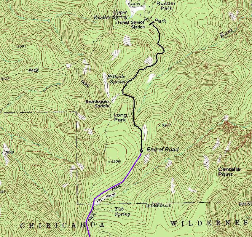
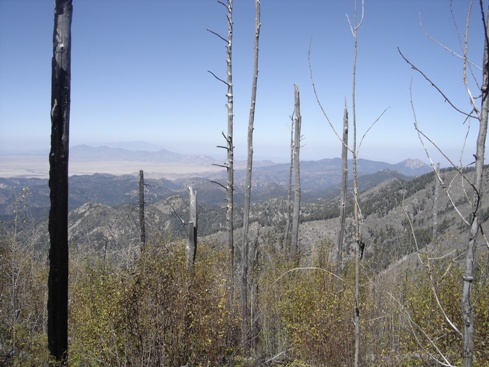
From the trailhead, you can hike the Crest Trail above the road or just walk the road behind the gate. Both will get to the same place, the road just seemed more straightforward (no ups, downs and arounds). At the end of the road in Long Park, find the signed trail to continue on to Flys Park. If you desire, you can climb up and over Flys Peak on a trail. Keep hiking around several knobs and you soon find yourself in Anita Park at the base of the peak. Climb up a few switchbacks and your on the top.in the trees with no views. Since a fire destroyed much of the approach route, you will have some views on the trek in.
Take AZ-186 southeast out of Willcox. Turn left at AZ-181 where a sign indicates Chirlicahua National Monument. Just before the monument entrance, turn right at a signed junction (Pinery Canyon) and then follow a good dirt road up into the mountains around 14 miles to the Rustler Park campgrounds. I parked at the gate beyond the trailhead parking area since the area was deserted. With 4WD, you can continue up the road 1.4 more miles, but I was in a rental sedan. The gate was closed but not locked (late October). There may be a fee to park at the Rustler Park trailhead. I camped for free on the way in down low to avoid cold fall temperatures, just inside the national forest boundary.
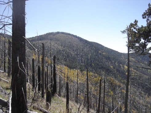
The first view of Chiricahua Peak after Cima Park
Views just below the summit
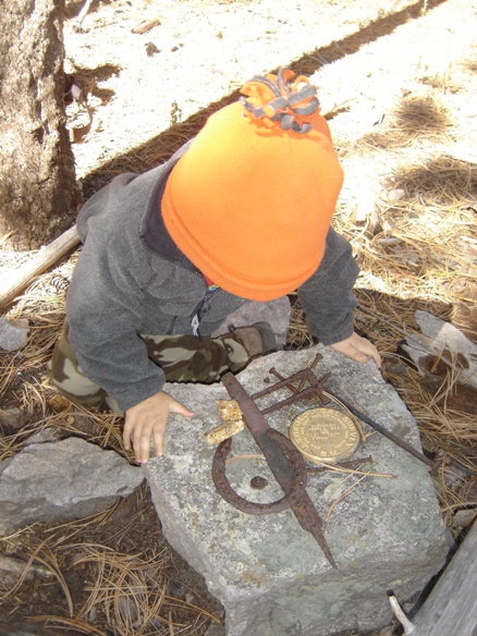
This is it, the summit of Chiricahua Peak
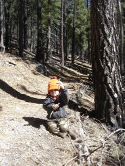
Taking a break to play with sticks
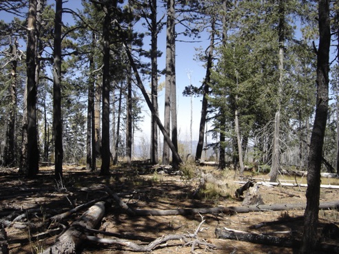
Chiricahua Peak Trail
Chiricahua Peak Benchmark


