Moolock Mountain
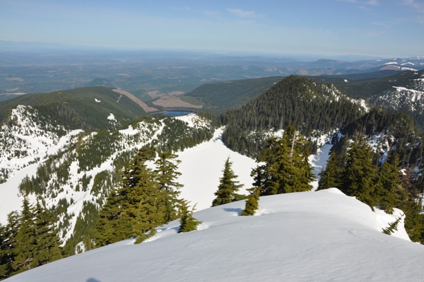
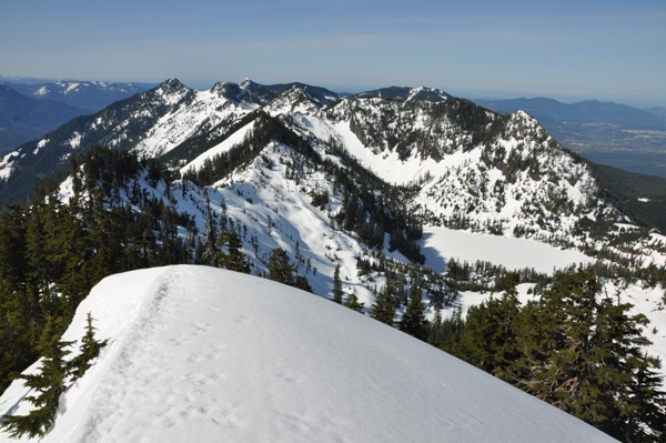
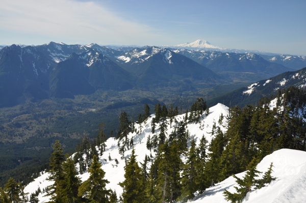
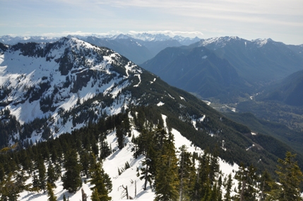
Moolock Mountain is an unofficial name for a Middle Fork Snoqualmie hike and scramble. Because the majority of the route is on roads, Moolock is not as popular as it should be. The road walk is usually described as torturous, an extreme bore, mind numbing, you get the idea. In reality, it will take just a few hours to reach the ridge views, the same amount of time most mind numbing movies take to watch on TV. The summit is spectacular, a panorama over Puget Sound, with mountain views from Rainier to Baker.
WillhiteWeb.com - Washington Hiking & Climbing
Access:
From Interstate 90 take Exit 34, turn left under the freeway, pass Seattle East Auto Truck Plaza, turn right on Middle Fork Road, and drive until you hit the Mailbox Peak trailhead turn & gate. From there, it's about 4.6 miles to the Bessemer Gate. Park near but do not block the Bessemer gate.
Distance: 6.5 miles
Summit Elevation: 4,965 feet
Elevation Gain: 4,500 feet
Access: Good Dirt Road
Route:
The Bessemer Road is one of the few active roads in the Middle Fork Snoqualmie. There is a easement on this road for a private quarry up the mountain. You may run into heavy trucks hauling out rock. They are use to hikers, just smile and continue on. You might consider bringing a bike, at least for the first 1.5 miles which is easy riding. This popular road walk is pretty uninspiring but each year it gets better as trees grow bigger. In the past, numerous old logging roads required a careful following of your topo map. Today, nearly all roads have been decommissioned, so the Bessemer Road is the only route to follow. After a mile or so you do run into the old CCC road which is now a trail. It is shown in blue on the map below. Just stick to the wide road which climbs numerous switchbacks up and up. At 3,200 feet is the first big Y intersection. Take a right which cuts back steeply uphill. This road will take you to the Bessemer-Moolock Saddle on the crest. From there, turn left on a narrow road up through the trees to a huge barrow pit. Follow the road on the north side of the barrow pit, dropping a bit of elevation but still staying on the ridge crest. Follow it until you are below the east ridge of Moolock. You can scramble the narrow east ridge of Moolock or you can follow the road into the open slopes SE of the summit, then climb up obtaining the east ridge closer to the summit.
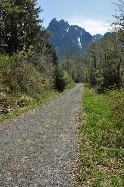
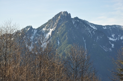
Russian Butte across the valley from the Bessemer Road
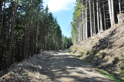
Bessemer Road section with daylight
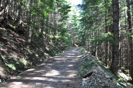
Bessemer Road section without daylight
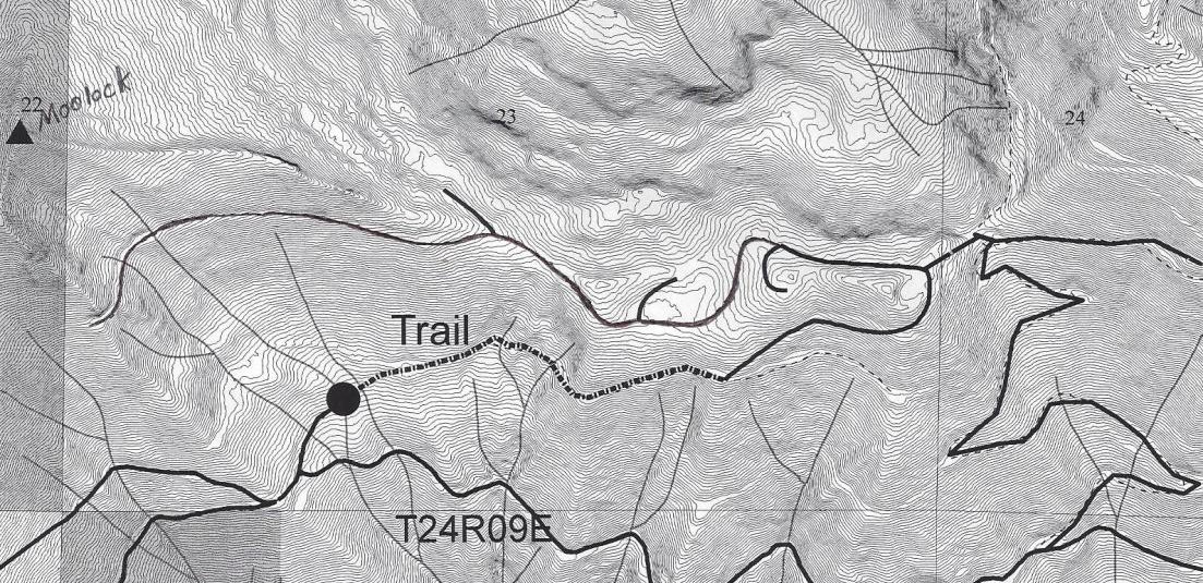
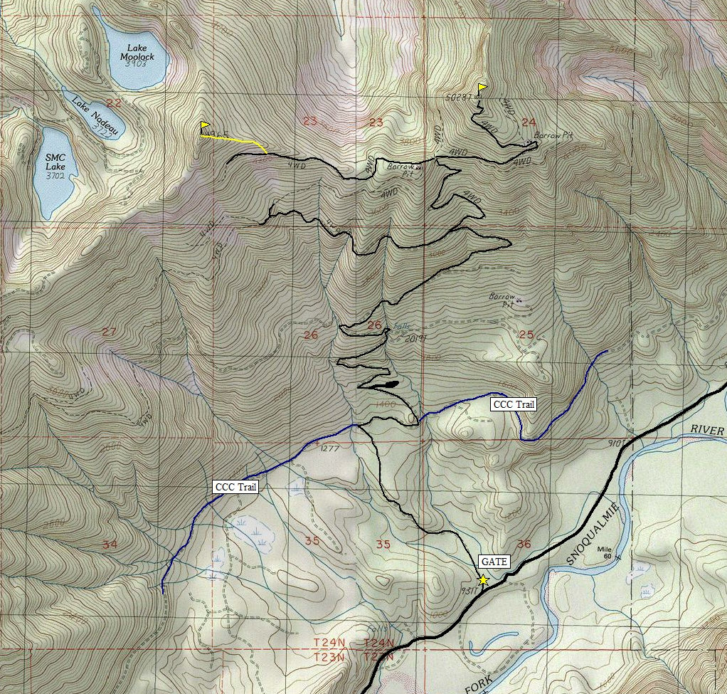
Below: LIDAR map of the upper ridge of Moolock with 10 foot contours
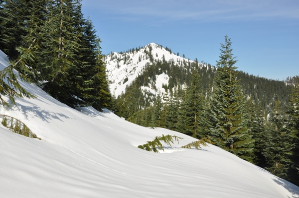
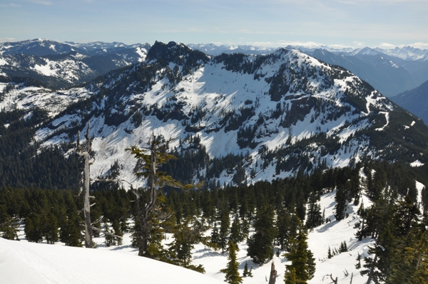
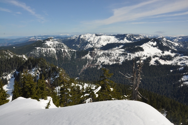
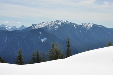
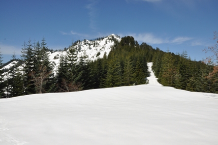
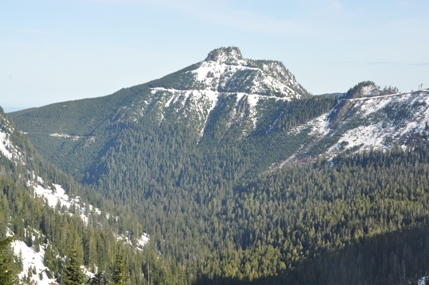
South Bessemer Mountain
North & South Bessemer Mountain
Russian Butte from Bessemer Road viewpoint
Looking up the Middle Fork
Preacher Mountain
Hancocks Comb
Ridgewalk
View north
Looking NW
Looking south to Mount Rainier
Green Mountain, Teneriffe, Blowdown, Mount Si
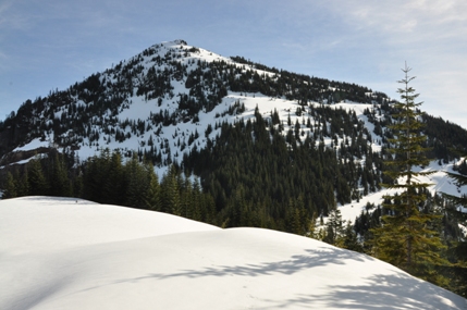
View of Moolock Mountain just past the barrow pit


