Mac Peak
One of many seldom climbed peaks in the Alpine Lakes Wilderness is Mac Peak. Although its location is just above the popular Deception Lakes and Pacific Crest Trail, it has no established trails up. Mac Peak is the highest in elevation in the general vicinity with 819 feet of prominence and offering an excellent vantage point. Much of the mountain is rugged with large cliff faces, but an easy class 2 route exists by use of the south ridge.
WillhiteWeb.com - Washington Hiking
Access:
Take Highway 2 from Monroe to the Skykomish turnoff. Continue 1.8 miles further to a right turn off the highway on the Foss River Road. In 1.2 miles the road becomes gravel. Follow the gravel road 2.3 miles to a Y. Go left onto FR #6830. At 9.1 miles from the start of the gravel is the Tonga Ridge Trail turn-off. Go left. Keep going to 20.5 miles from the end of pavement. Find the trailhead on the left going down the hill. The road ends shortly beyond. Parking is limited but located off the side near the trail and down to the end of the road.
Route:
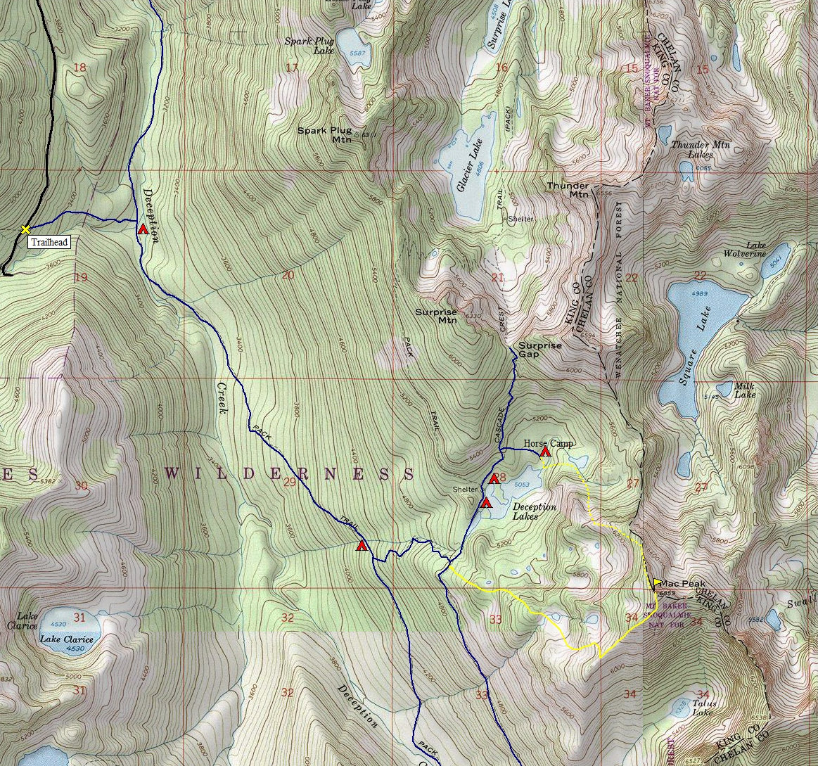
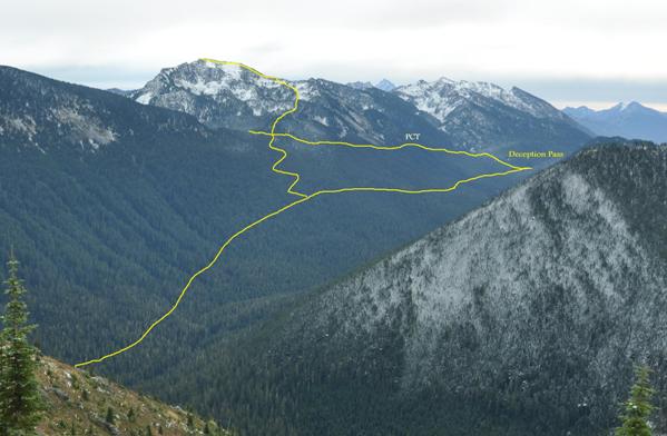
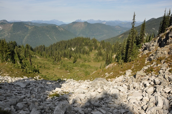
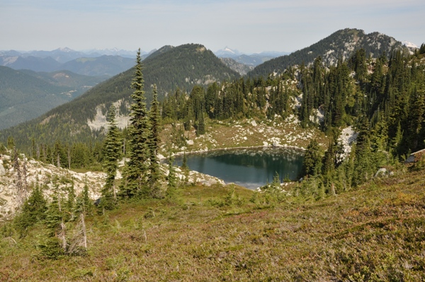
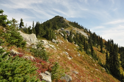
This first short trail drops down to the river, often called the Deception Creek Cut-Off Trail. It drops down around a half mile and 500 feet. At the bottom, find the Deception Creek Trail and several nice campsites. Follow the trail upstream toward Deception Pass for 2.5 miles to a trail split. Take a left climbing switchbacks uphill until a junction with the Pacific Crest Trail. Leave the trail at that point heading east through the woods with minor brush. After a short distance, reach a boulder filled gully. Cross the gully and ascend a steep slope to a minor ridge. Follow ridges up until you reach a large meadow at about 5,700 feet. The climb from 5,100 to 5,700 is the only uncertain part that could end up being a brushbash. There are some game trails that significantly help if you find them. From the meadow at 5,700, follow an obvious avalanche gully with heather and boulders that curves around southeast. At 6,000 feet a nice lake is just below and a good trail should be crossed from it to the ridge top. Follow this trail up to the top of the south ridge, and then walk the eastern side of the ridge on game trails to the summit of Mac Peak. A few rock sections require dropping below the ridge on the east side.
Distance: 5 miles
Elevation Gain: 3,800 feet + 500 on return
Summit Elevation: 6,859 feet
Access: Good Gravel
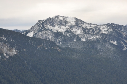
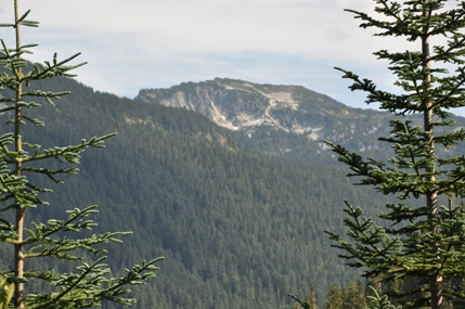
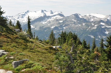
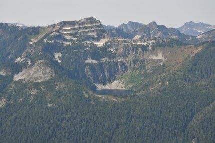
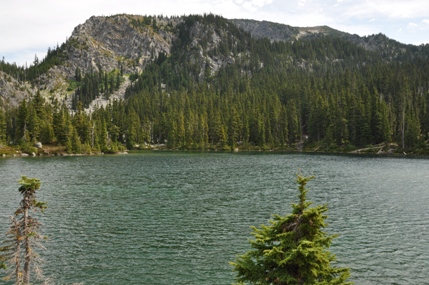
Mac Peak from the west
Mac Peak from the trailhead
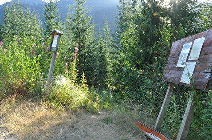
Trailhead
Trails and route viewed from Tonga Ridge
Climbing up looking west
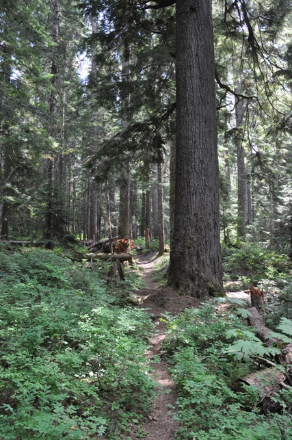
Old growth forests along Deception Creek
Small lake at 6,000 feet
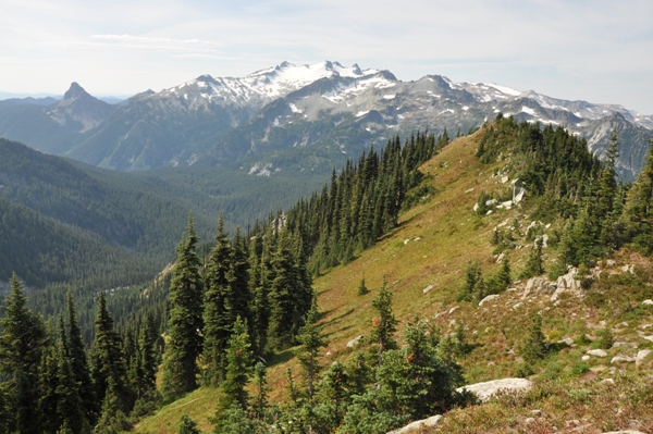
Mount Daniel
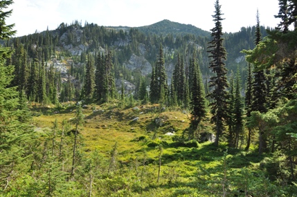
First views of the peak at 5,300 feet
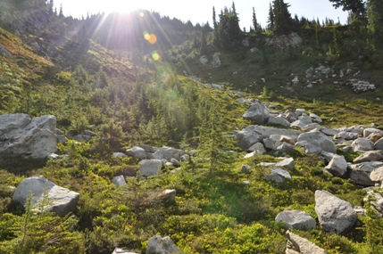
Going up avalanche route around 5,800 feet
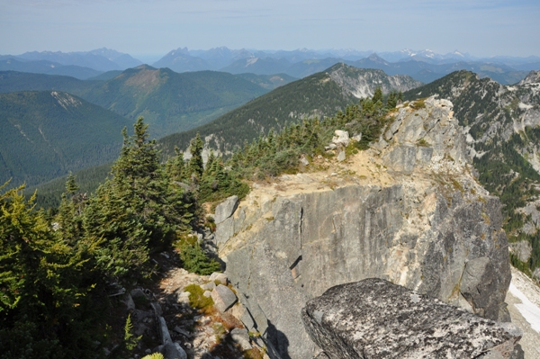
South ridge off the summit
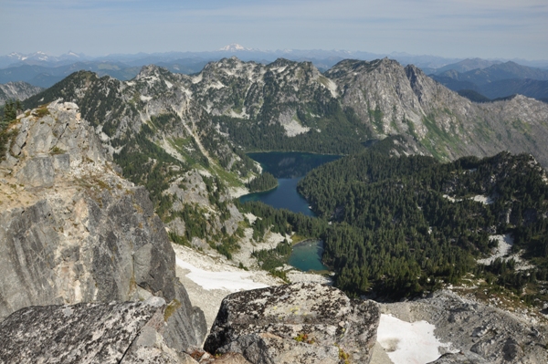
From the summit looking down to Square Lake
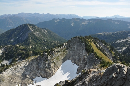
Looking NE from the summit
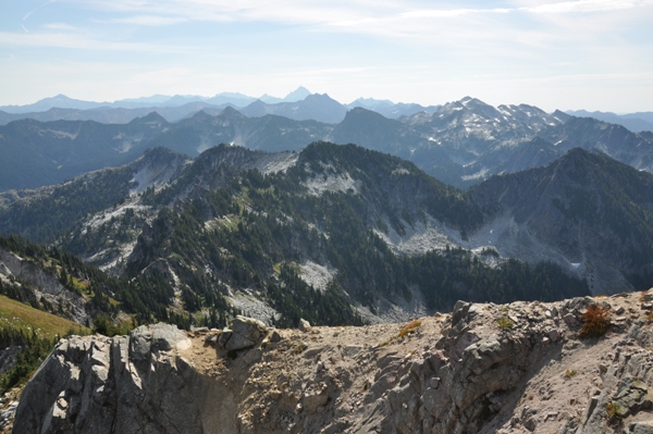
Looking west from the summit
Mount Daniel and Hinman from the summit area
Looking east toward Mount Stuart from the summit
Terrace Mountain and Lake Clarice
Deception Lakes and Mac Peak
Dashed yellow is my descent route which had more brush to deal with.


