

Whitestone Ridge Lookout Site
WillhiteWeb.com
Elevation: 4,762 feet
Hiking Distance: Drive-up
Access: Most vehicles should be fine, last half mile has a steep section.
In 1922, Whitestone Ridge started as a camp.
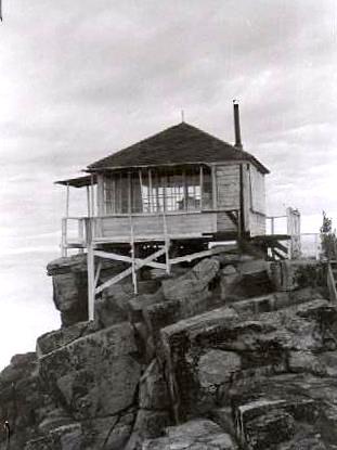
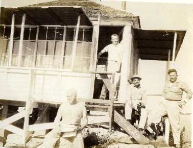
In 1935, a L-4 lookout house was built by the CCC.
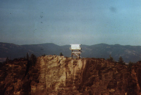
In 1964, a 20 foot treated timber tower with R-6 flat cab was built.
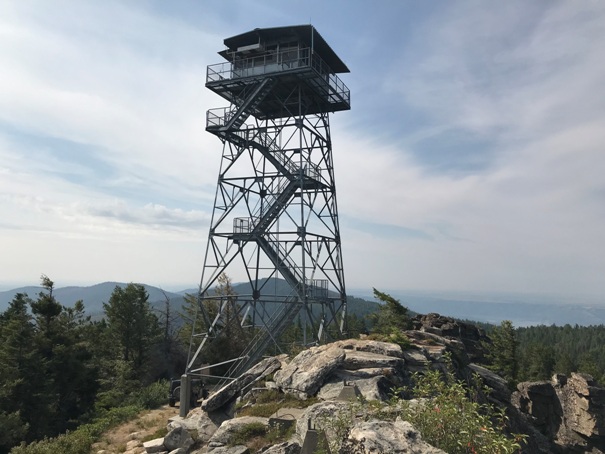
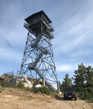
In 1985, a 53 foot all-steel live-in tower was constructed. It is staffed every summer.
Info found by Ron Kemnow:
November 7, 1960: This lookout, at elevation 4762, consists of a wooden cabin 14 x 14 feet located on the edge of a fractured rock cliff and which serves as both lookout and quarters. It covers the areas of Nine-Mile Creek Drainage, Hellgate, portions of the lower San Poil and the west side of the Spokane Reservation. It was built by the CCC in 1935 at a cost of about $900. This lookout is 50 miles from the Agency and 20 miles from a paved highway. Access is by a very steep and narrow dirt road, passable only to vehicles with 4-wheel drive. Radio reception is good. Strong wind and heavy ice conditions are common. Water is carried one mile. Wood for fuel is available. The cabin is in very poor condition due to age and weathering. There has been some slippage of portions of the rock cliff on which it sits, raising doubts as to soundness of the foundation. The exterior walls and platform and stair are in a very deteriorated, unsafe condition. Cottage-type windows make fire-watching very difficult and tiring. Age and weathering of the materials make effective rehabilitation impossible. It is proposed that a cabin be built ten feet back from the edge of the cliff and placed on a new footing, thus raising the structure some 15 feet above the present position with resultant improvement in surveillance. Site for building is approximately 50 ft. x 60 ft. with a 20-foot rise in elevation from one edge to the other. This area consists of large fractured rock and the footing would have to be anchored with grouted rods. Cabin should have vertically pivoted windows with panes of tinted glass for unimpaired visibility. Estimated cost of construction of a cabin on Whitestone is $10,000. (Inspection Report)
September 14, 1931: “Additional rains within the Colville reservation have reduced the fire hazard so that the lookout men on Moses mountain and Whitestone peak are being relieved for the season.” (The Wenatchee Daily World)
Access:
The road up the north side from Frelander Meadows on the Silver Creek Road is signed and simple to follow. Most roads branching off the summit road have been abandoned. Nearly any vehicle should do fine although it gets a touch steep near the top.
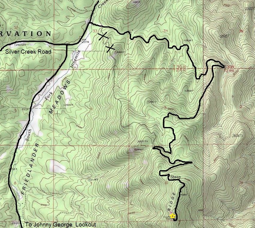
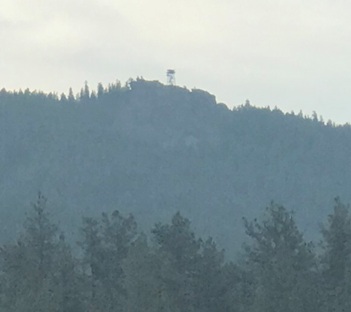
Whitestone Ridge Lookout from Frelander Meadows
The 1935 cab in 1960
The 1935 cab out on the rocks
The 1964 cab taken in 1979
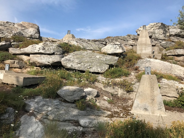
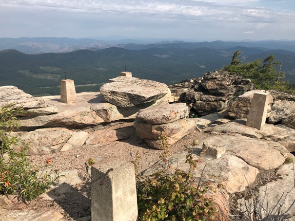
The 1964 footings
The 1935 footings
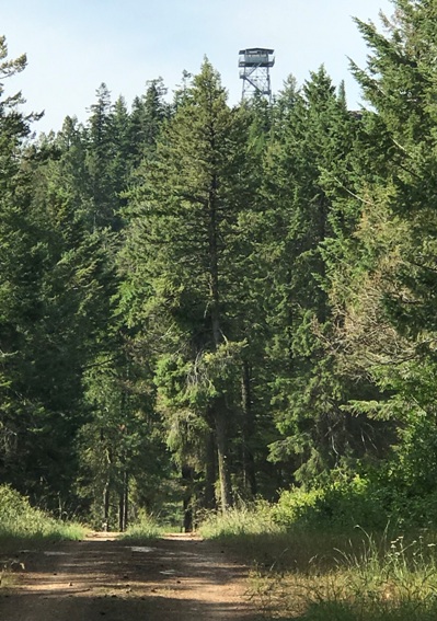
Approaching the summit
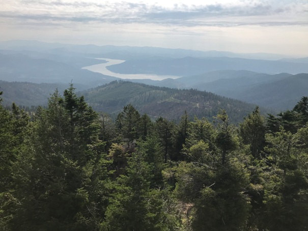
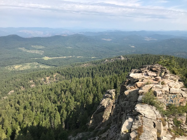
The Columbia River to the East
Looking NE
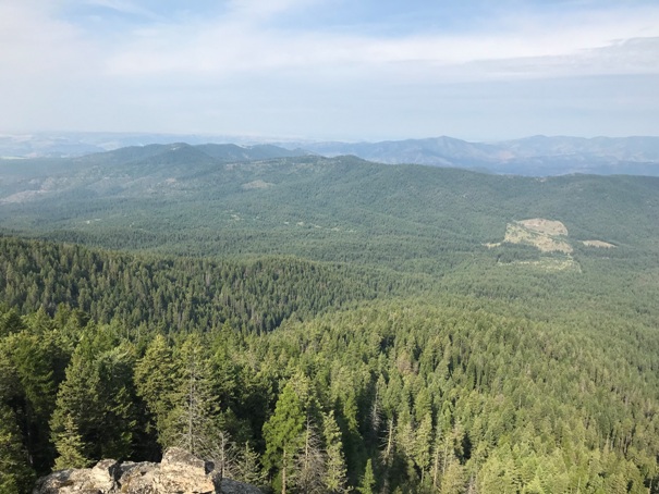
Looking NW
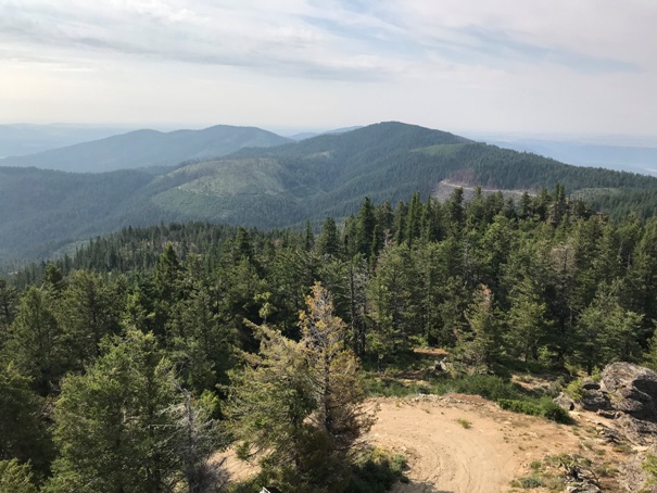
Looking North
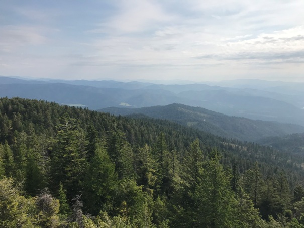
Looking South
Whitestone Ridge Lookout
Whitestone Ridge Lookout
Drive-up
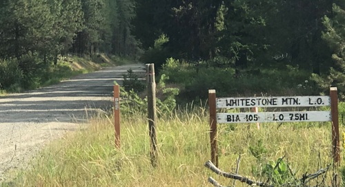
Silver Creek Road sign
Sign at first intersection


