WillhiteWeb.com
This state park is a 130-mile trail starting southwest of Spokane and ending near Pasco. The trail is an abandoned railroad bed and can be hiked or biked but good tires are needed for some of the central portions of the trail. The 100-mile midsection remains undeveloped and there are few amenities along the way. The trail is recommended for experienced hikers and bikers as if going into the backcountry of the mountains. The highlight is the volcanic geography and erosion of the Ice Age flooding. Mileposts along the trail are distances from Portland.
Columbia Plateau Trail State Park
Page in progress, there is still much to hike/bike for me on this trail.
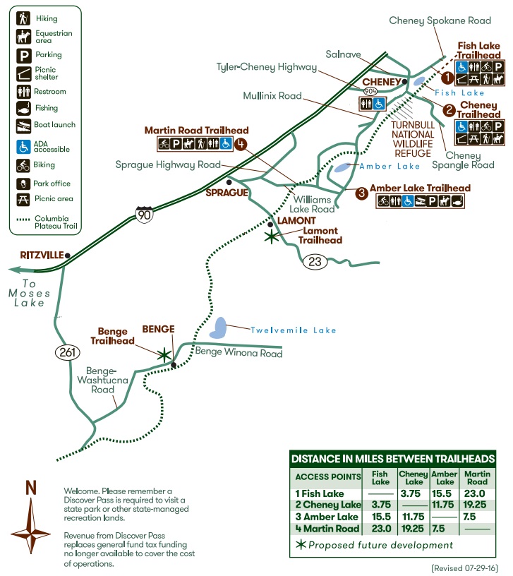
This portion is semi-arid channeled scablands, starting at Fish Lake Trailhead near Cheney. This 23-mile improved portion provides rest and swim stops at Cheney and Amber lakes, ending at Martin Road, south of Sprague. The first 3.75 miles is an asphalt trail, while the remaining 19.25 miles are crushed gravel with a gentle grade. The trail runs through Turnbull National Wildlife Refuge, home to deer, elk, moose, small mammals and 200 species of birds. The best times to visit are in spring and fall in the early morning and evenings. At milepost 358 is the high point between Portland and Spokane.
North portion: Spokane County
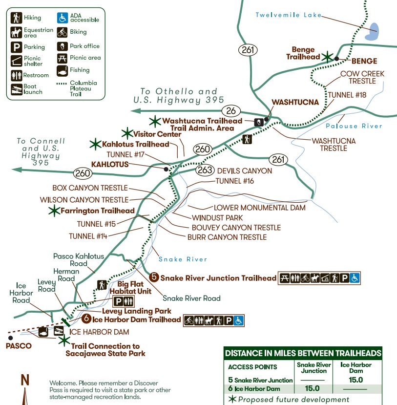
The southern end of the trail is undeveloped along a portion of the Palouse River to Washtucna and in the Snake River Canyon, where the canyons become larger and the cliffs steeper. Along the way, there are five tunnels (three of which are concrete-lined) ranging from 200 feet to nearly one-half mile long. The trail has several U.S. Army Corps of Engineers access points, and offers a connection to Sacajawea State Park at the southern end. This section features many railroad trestles that are closed requiring work a rounds. Those that are open might lack decking and guard rails.
South portion: Lincoln to Franklin Counties


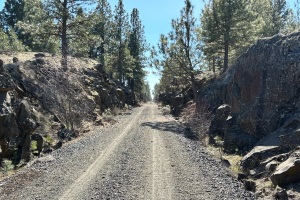
Distance: 19.75 miles (good packed gravel)
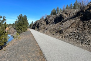
Distance: 3.75 miles (paved)
TRIP REPORTS

The Columbia Plateau Trail was acquired in 1991 from the Burlington Northern Railway Company after its abandonment in 1987. The railroads were granted right of ways from the states to operate and after Burlington Northern no longer needed the right of way it reverted back to the State of Washington. The state has allowed this property to be enjoyed as a very unique type of park.
In 1905, James J. Hill founded the Spokane, Portland and Seattle railway that ran through Eastern Washington. The rail system was later purchased by the Great Northern railways and The Burlington Northern Railway companies. In the early days steam engines built by the Baldwin Locomotive Works rolled through this section of land on a daily basis. On either side of the rail bed you can still see residual traces of past railroads activity as you travel through the park. In the early 1950s diesel engines became the engine of choice to pull rail freight and passenger cars.


