WillhiteWeb.com
Mailbox Peak (New Trail)
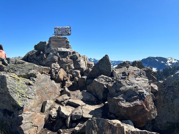
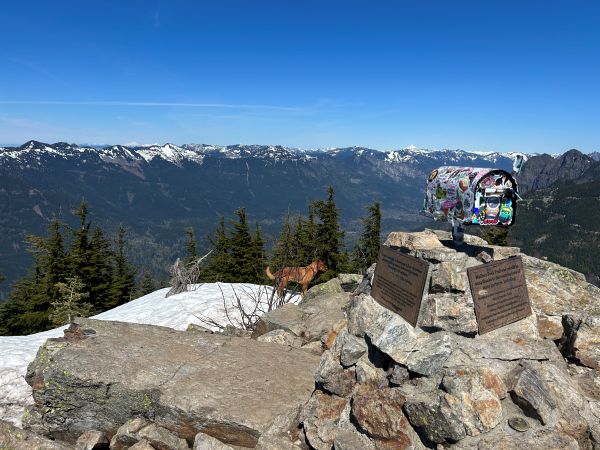
Mailbox Peak is one of the most popular trails from Seattle, similar to nearby Mount Si. The peak and old trail became very popular so a new trail was constructed to the summit making the hike a much easier trek to the summit. The old trail is more of a root climb straight up the mountain and remains for those training for more difficult hiking. The summit register has been home to old mailboxes for years and the name eventually caught on. So many people hike up these days, most do not even look into the mailbox. Over the years, other props have been brought up for personal recognition. The state fire training center is located at the base of the mountain and over the years, firefighters have lugged up & down, items such as iron fire hydrants and full-length ladders.
Access:
Summit Elevation on USGS: 4,841 feet
Summit Elevation on Peakbagger: 4,840 feet
Hiking Distance: 6 miles one-way
Elevation Gain: 4,000 feet
For the old trail or winter climbing of Mailbox Peak see:
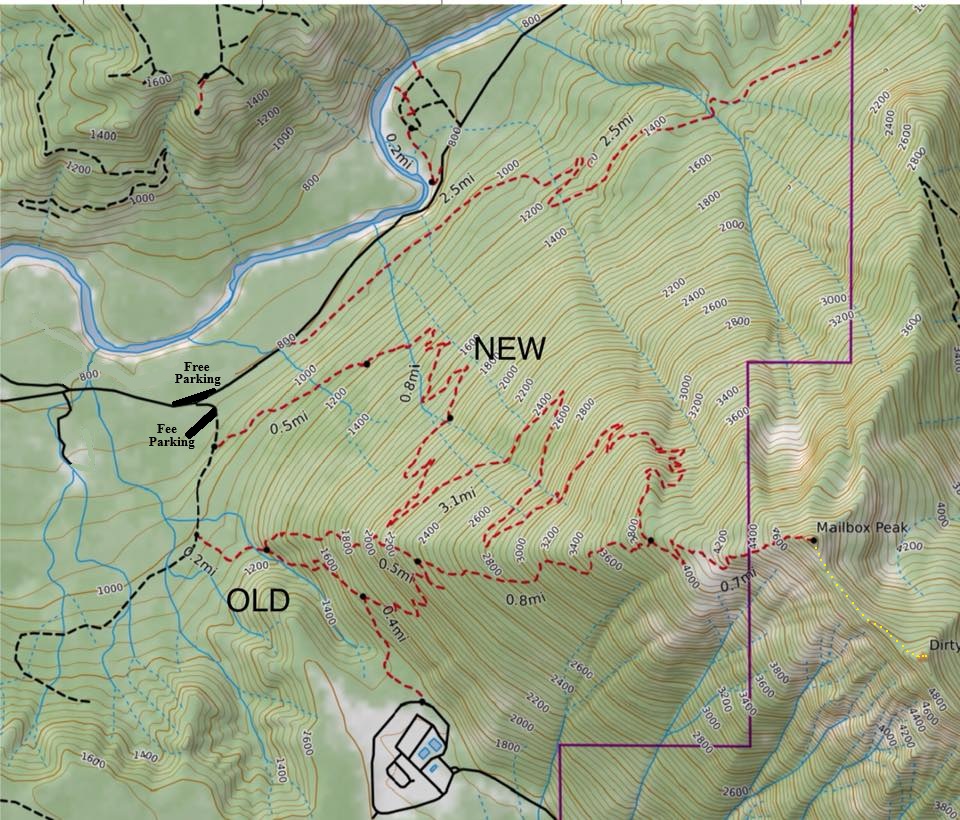
Take I-90 past North Bend to Exit 34. Go under the freeway, past the truck stop and in 0.6 mile turn right onto SE Middle Fork Road. After a mile or so is a Y, take the one-way travel. At 2.5 miles on SE Middle Fork Road hit the lower parking on the left and right side of the road. The upper parking is behind the gate up the spur road. This gate to the main parking lot closes at dusk and requires a Discover Pass. Parking outside the gate down at the Middle Fork Road is free and without worry of the time of day.
Route:
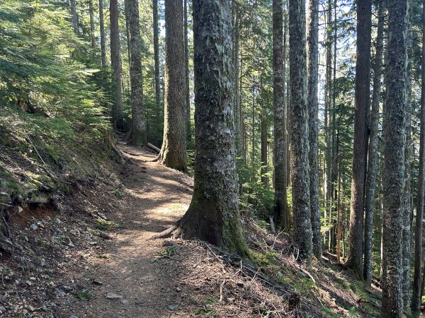
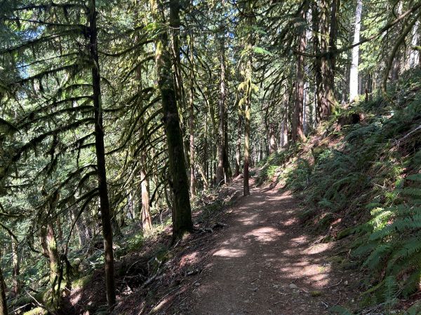
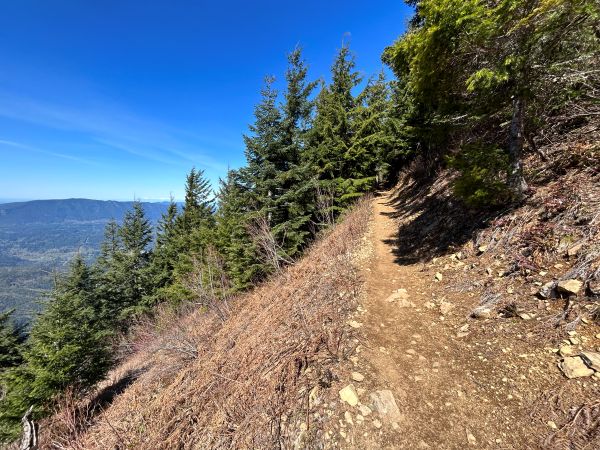
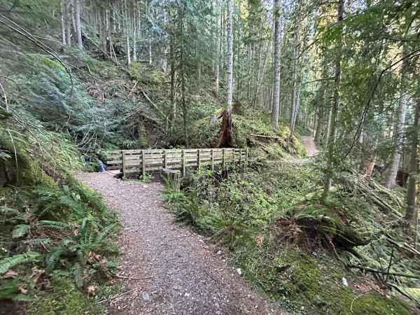
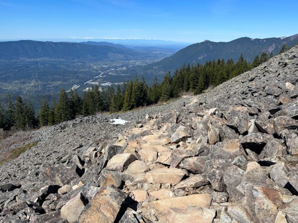
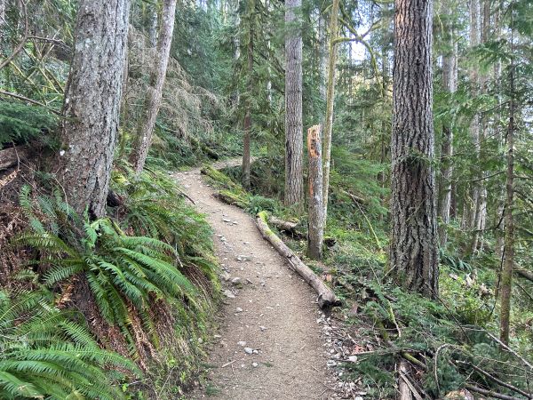
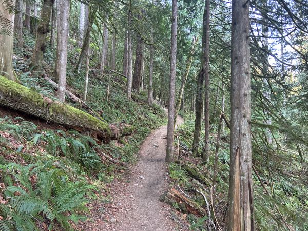
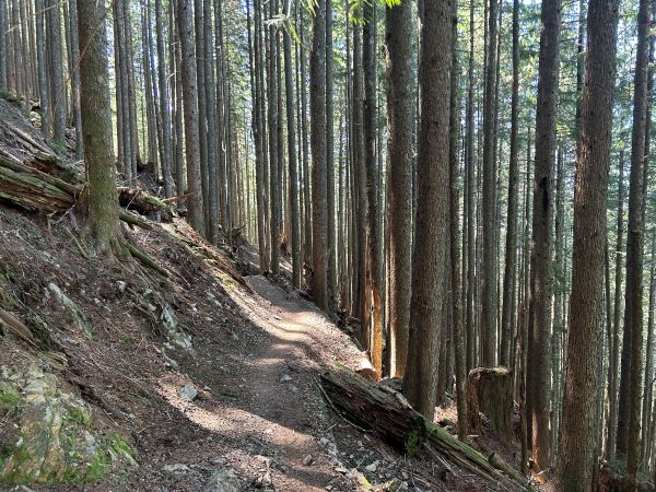
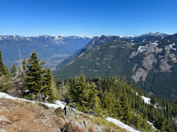
The new trail starts off on old roads in scrappy forest but soon reaches nice second growth forest and some patches of old-growth up high. The trail really gets good the last mile as it breaks out of the forest and follows an open ridgeline with expansive views to keep you motivated to keep moving up.
For the peakbagger summit of Mailbox Peak, see:
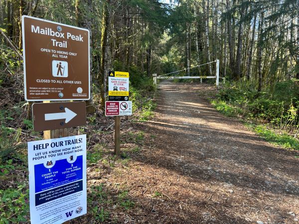
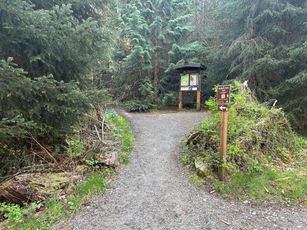
Trailhead signs.
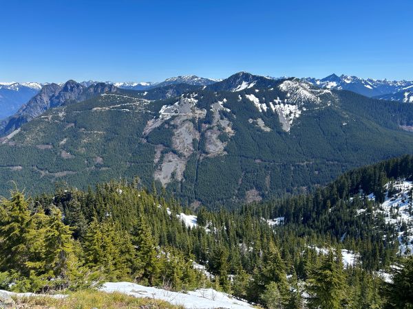
Open area with views.
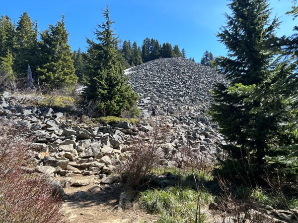
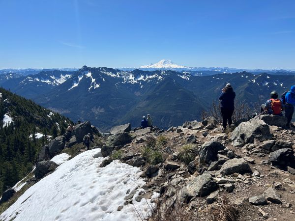
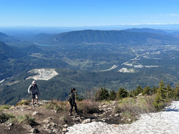
Reaching the rocks and the start of consistent views.
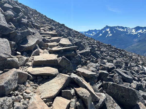
Trail through the rocks.
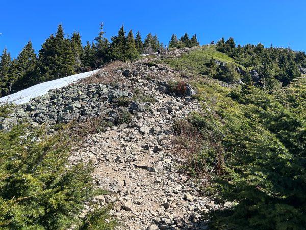
Final ridge climb.
The Mailbox.
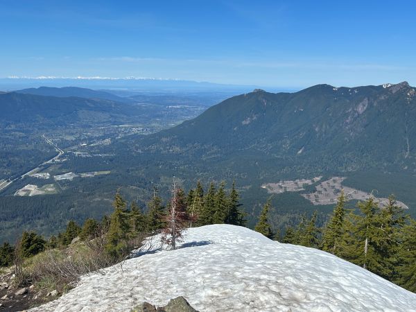
Looking west over North Bend and Rattlesnake Mountain.
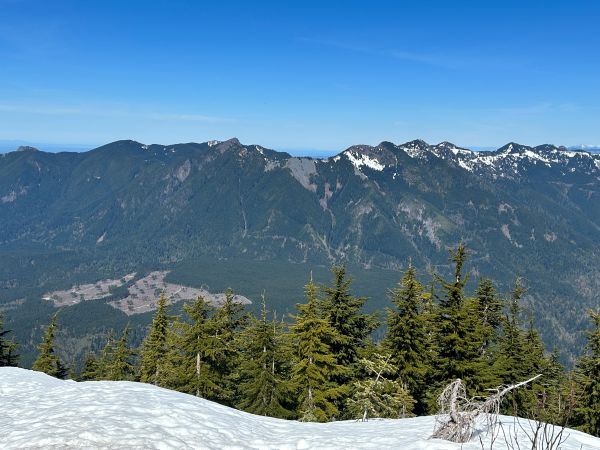
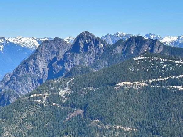
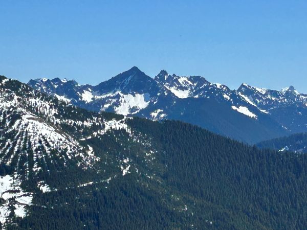
Looking northeast into the Alpine Lakes Wilderness.
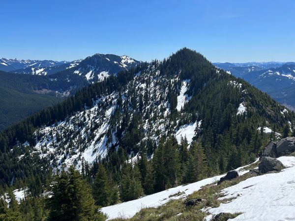
The ridge continues to Dirtybox Peak.
Looking over to Mt. Si and Mt. Teneriffe.
Looking over to Mt. Si, Mt. Teneriffe, Green Mountain, Moolock.
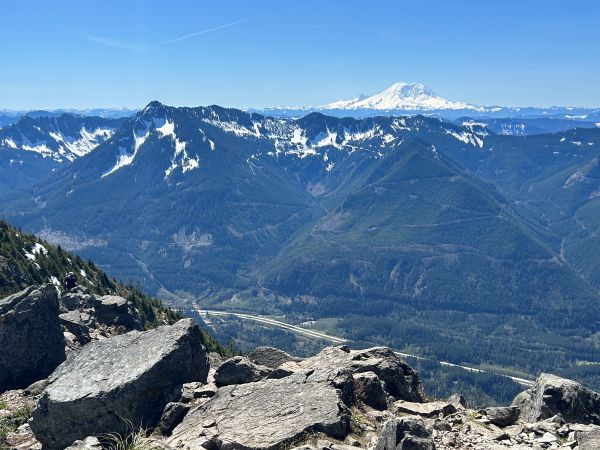
Looking south to Mt. Rainier.
Russian Butte
Nice rock work.


