Pacific Crest Trail: Anza Borrego Desert
WillhiteWeb.com
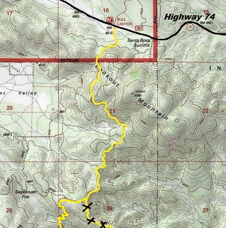
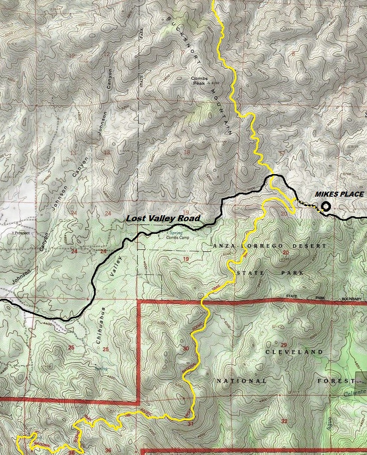
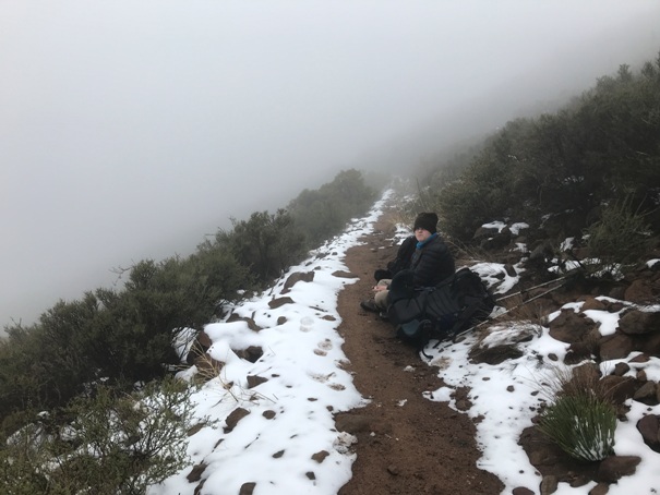
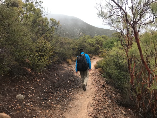
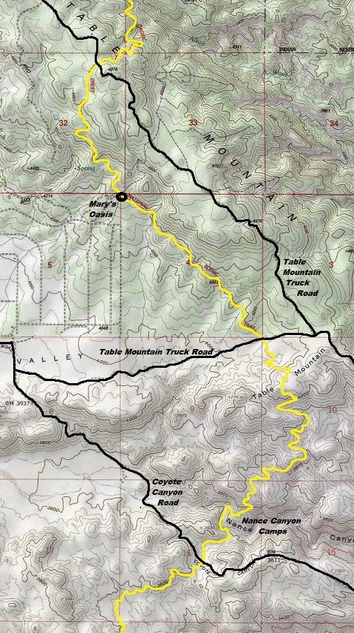
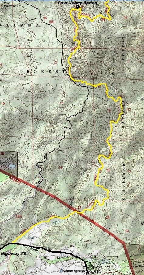
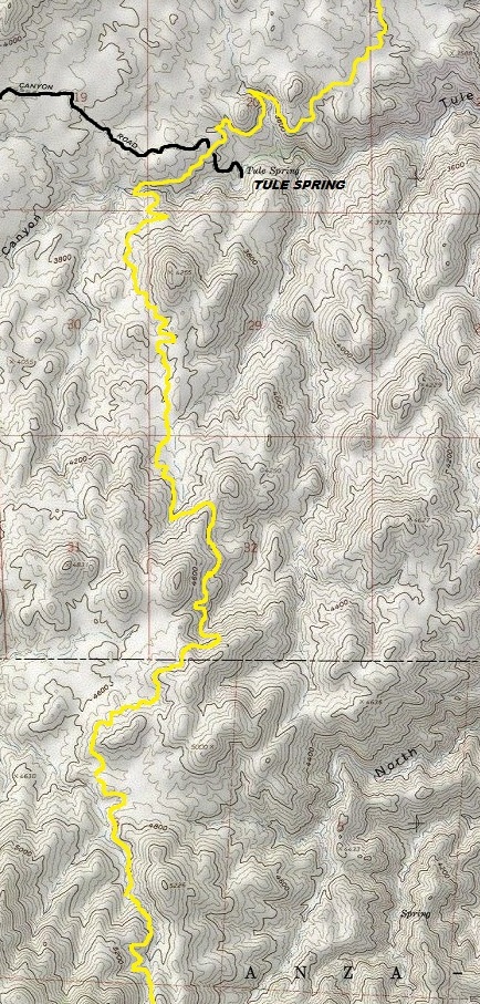
This is a 42 mile section was located between completed sections I did during previous years. With it now finished, the first 200 miles are done for me, with the next visit starting at Idyllwild, going north. The highlight of this section is Anza Borrego Desert State Park and nearly 3 days of isolation, although it was probably due to the weather we encountered. We got water at Lost Valley Spring, Tule Spring, Nance Canyon, Marys Oasis and melting snow. We did hike this southbound since it fit our itinerary better and was a bit less uphill hiking.
First half of California Section B
Warner Springs to Highway 74
Mile 110 to mile 152 (roughly)
Our time: 3 days
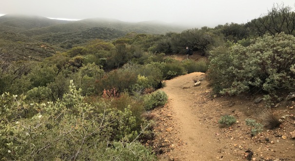
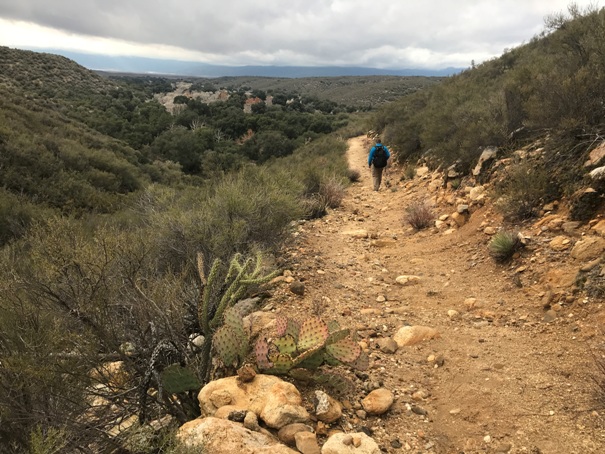
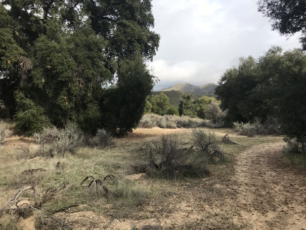
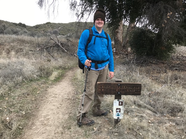
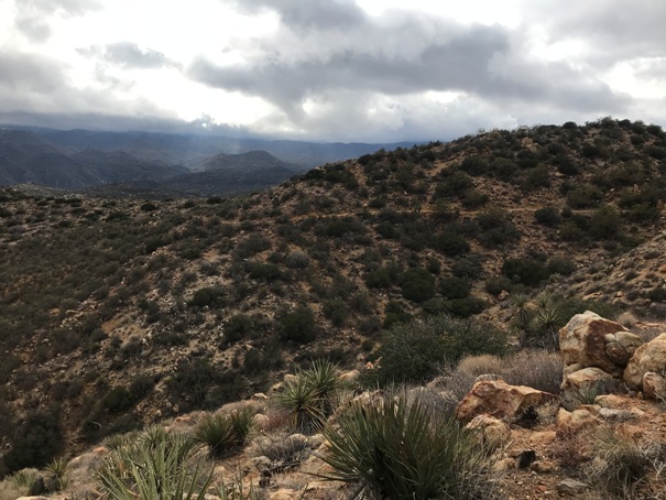
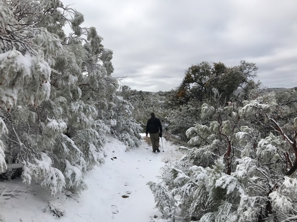
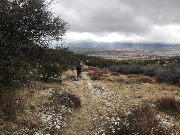
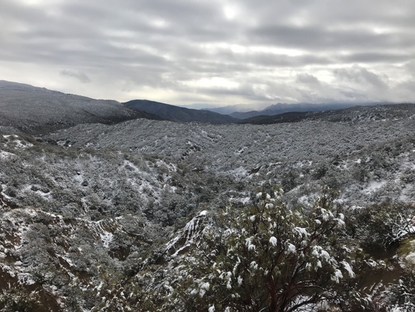
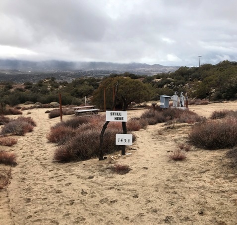
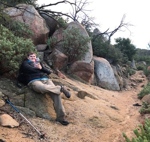
2 miles south of Lost Lake Road
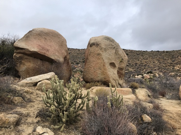
Marys Oasis
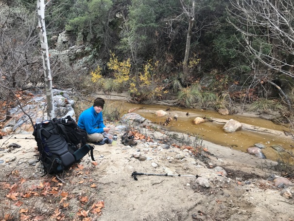
Agua Caliente Creek
Flats near Warner Springs
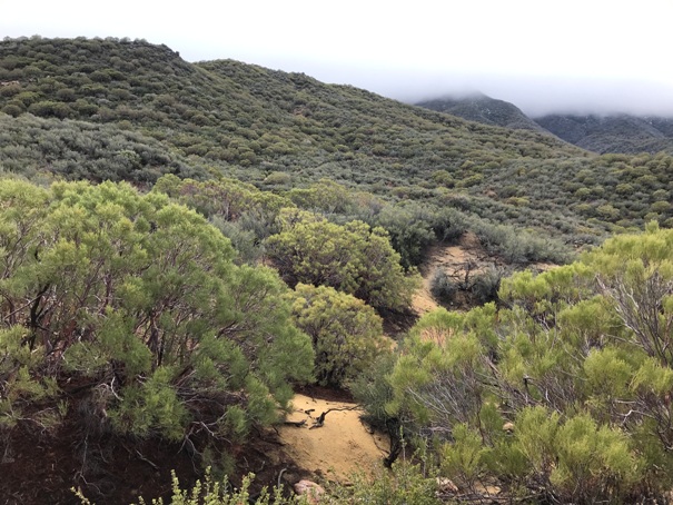
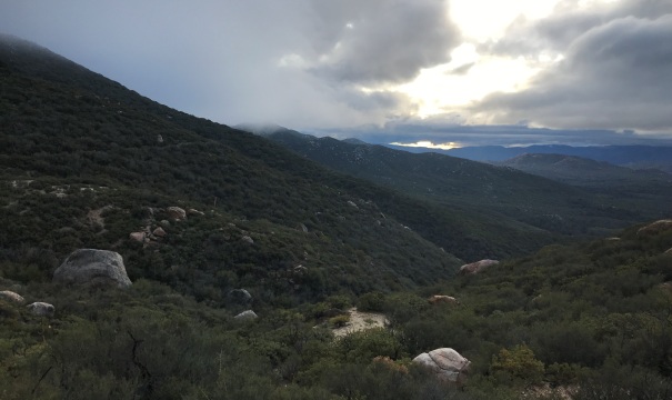
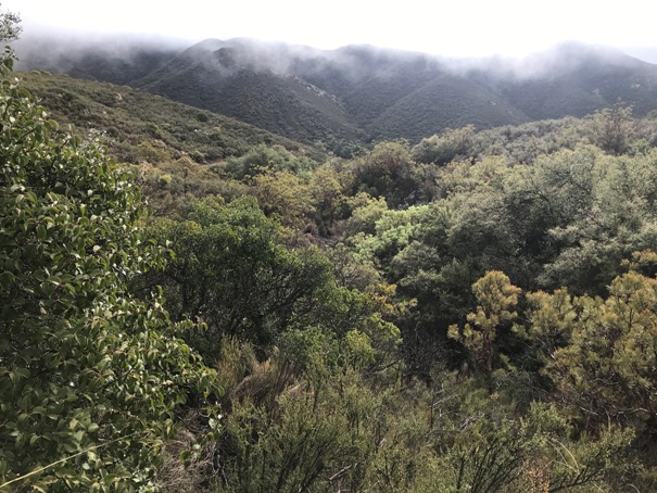
Near Combs Peak


