
Clay Butte Lookout - Wyoming
WillhiteWeb.com
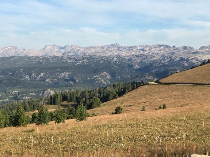
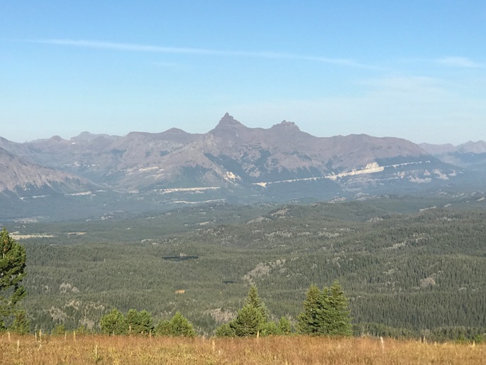
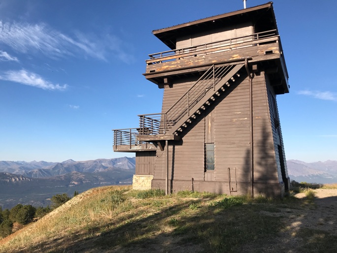
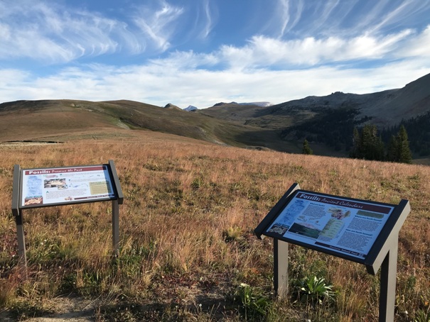
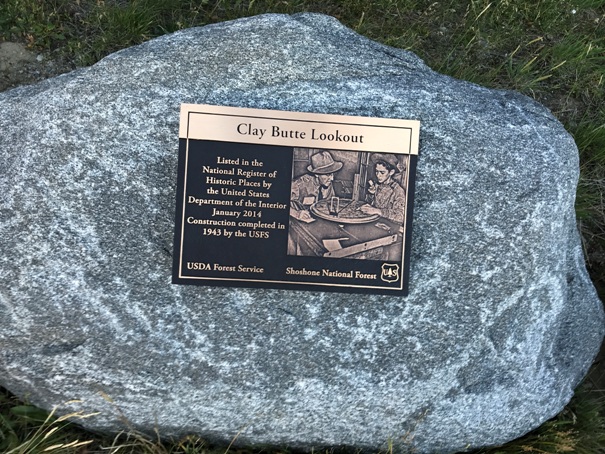
The Clay Butte Lookout was built in 1942 by the Civilian Conservation Corps and was staffed until the 1960s. Because of its popular scenic vantage point and proximity to the Beartooth Highway, Clay Butte continued to be used as a visitor information site. It was remodeled in 1962 and has been staffed since 1975 by volunteers. The focus of Clay Butte today is to give visitors a glimpse of how fire lookouts functioned 60 years ago. Sightseers driving the scenic byway stop to obtain information or take in the view, which includes wildlife, botanical areas, the effects of the Clover-Mist wildfire of 1988, and the geology of ancient seas that once covered the Beartooth Plateau.
Lookout Elevation: 9,811 feet
Hiking Distance: Drive-up
Access
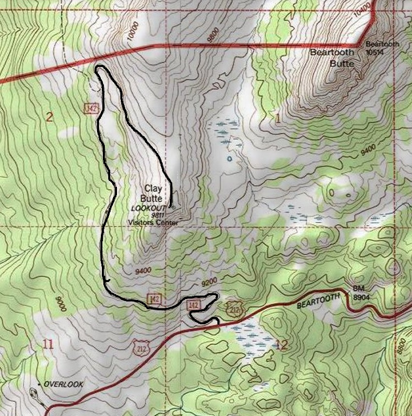
Located off the southern portion of the Beartooth All-American Highway. The lookout is signed from the highway. Forest Road 142 is gravel and most cars should be fine reaching the lookout in under 3 miles.
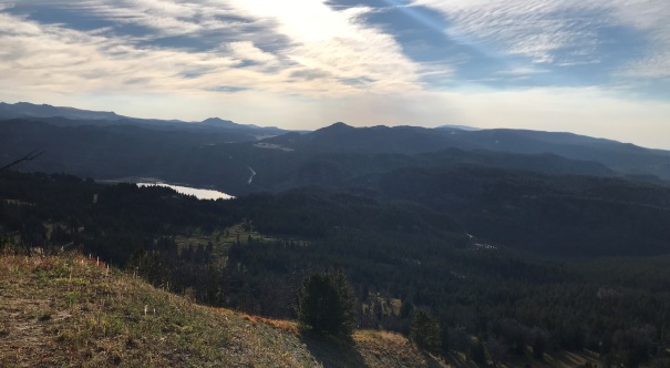
Looking East with Beartooth Lake in distance
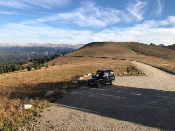
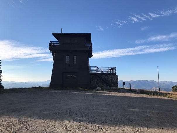

Final roadway and parking for the lookout site
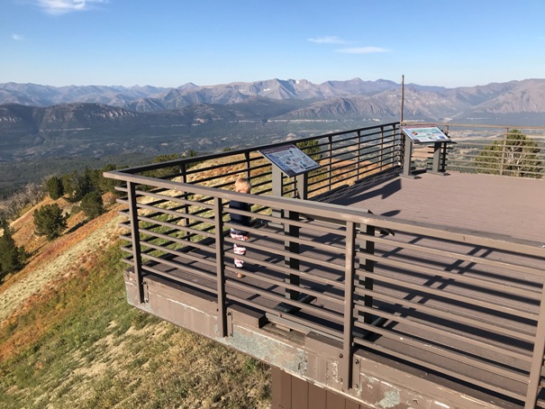
Viewing platform
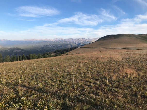
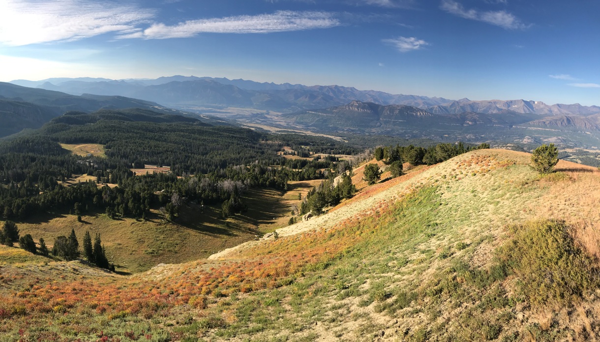
Looking south from the lookout
Beartooth Mountains
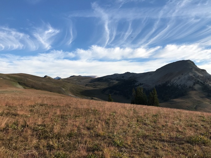
Beartooth Butte
Clay Butte Lookout
Pilot and Index Peaks
Valley toward Yellowstone and the Beartooth Mountains


