

White Mountain Lookout Site
Lookout Elevation: 6,921 feet
Hiking Distance: Have not visited yet
Elevation Gain: Have not visited yet
County: Ferry
WillhiteWeb.com
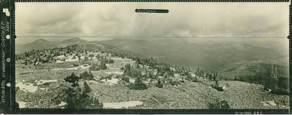
Looking North 1934
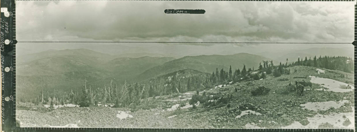
Looking Southeast 1934
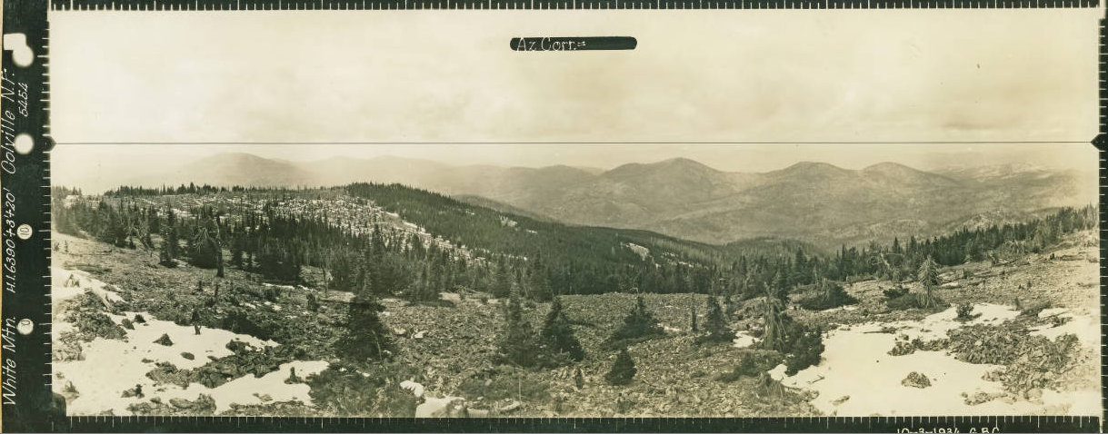
Looking Southwest 1934

In 1922, during the Fall, a trail and telephone line was built to the summit.
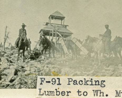
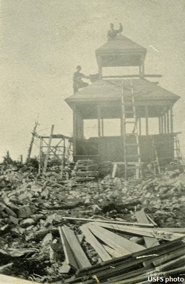
On April 2, 1923, The Spokane Daily Chronicle reported that Forest Rangers Hougland and Folsom of the Colville forest were engaged in framing lumber for a government standard lookout station to be erected on the summit of White Mountain, one of the highest points in the Kettle range. The article continued saying, ďA government lookout will be on duty all summer and will report all fires discovered immediately to the rangers at Marcus or Republic. Owing to the exposed location, the building will be anchored to bedrock with steel rods and wired as a protection against lightning. The lumber and other material, including 23 windows, will be transported by auto truck to a point on the Hall Creek road. There it will be made into units of 250 pounds and taken by pack horses over a difficult trail about six miles to the top of White Mountain. Forest Service rangers will construct the building, which will be erected as soon as the weather permits the material being taken in."
In September 1923, it was reported that the White Mountain standard lookout house was completed by July 1 and was used as a lookout point for the first time that year.
In 1928, the lookout was Ralph Buckley, who started his summer position around mid-July.
In 1934, panoramic images were taken from the lookout at 20-feet plus 3 above the ground.
In 1936, a USGS party placed a benchmark. They described a well-defined trail 4.5 miles long to get to the top from the end of truck travel. No description of the lookout was given.
In 1944, the lookout was Mr. and Mrs. Chas. Bouk of Republic.
In 1950, the cupola cabin was removed.
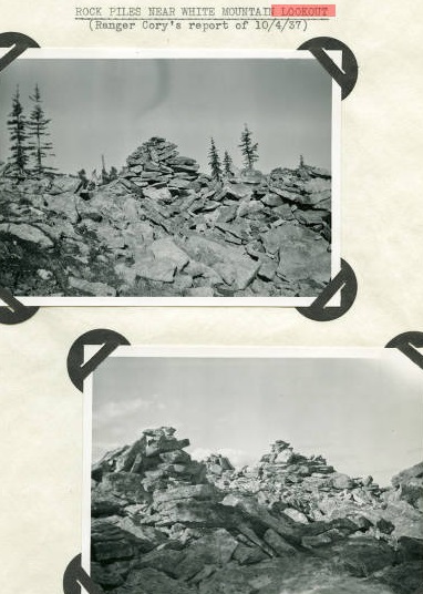
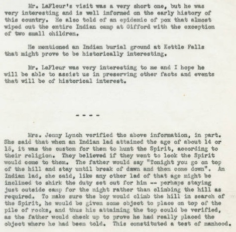
An article in (Six Twenty-Six) in September 1928 shared the following: "The top of White Mountain, in the eastern part of the Colville, is covered with shale rocks. In many places, these rocks have been piled into mounds and windrows. There has been much speculation about these piles and though they are generally attributed to the work of Indians, yet their purpose has been more puzzling. Some say they are a rude fortification while others say that White Mountain was a sacred mountain, and these rocks have something to do with Indian worship. Recently a Government trapper told me of a talk he had with a breed about these rocks. The breed says that the Indians add headquarters on the Columbia River, somewhere below Kettle Falls, and that a young boy, wishing to become a brave, would be given a horse and required to make a round trip to White Mountain between suns, sunset and sunrise. As a proof that he visited the top of the mountain, he would make a pile of rocks. Undoubtedly, this custom must have been many generations old, judging from the mounds constructed by the young braves.
Structure in the North panoramic below
White Mountian Lookout under construction
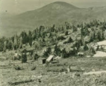
White Mountain Lookout in 1922
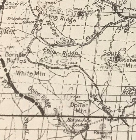
1936 Kettle Falls area map
Rock piles on White Mountain in 1937
Rock pile story
Rock pile story


